
Texas
Lake LBJ
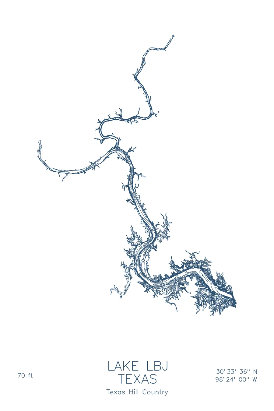
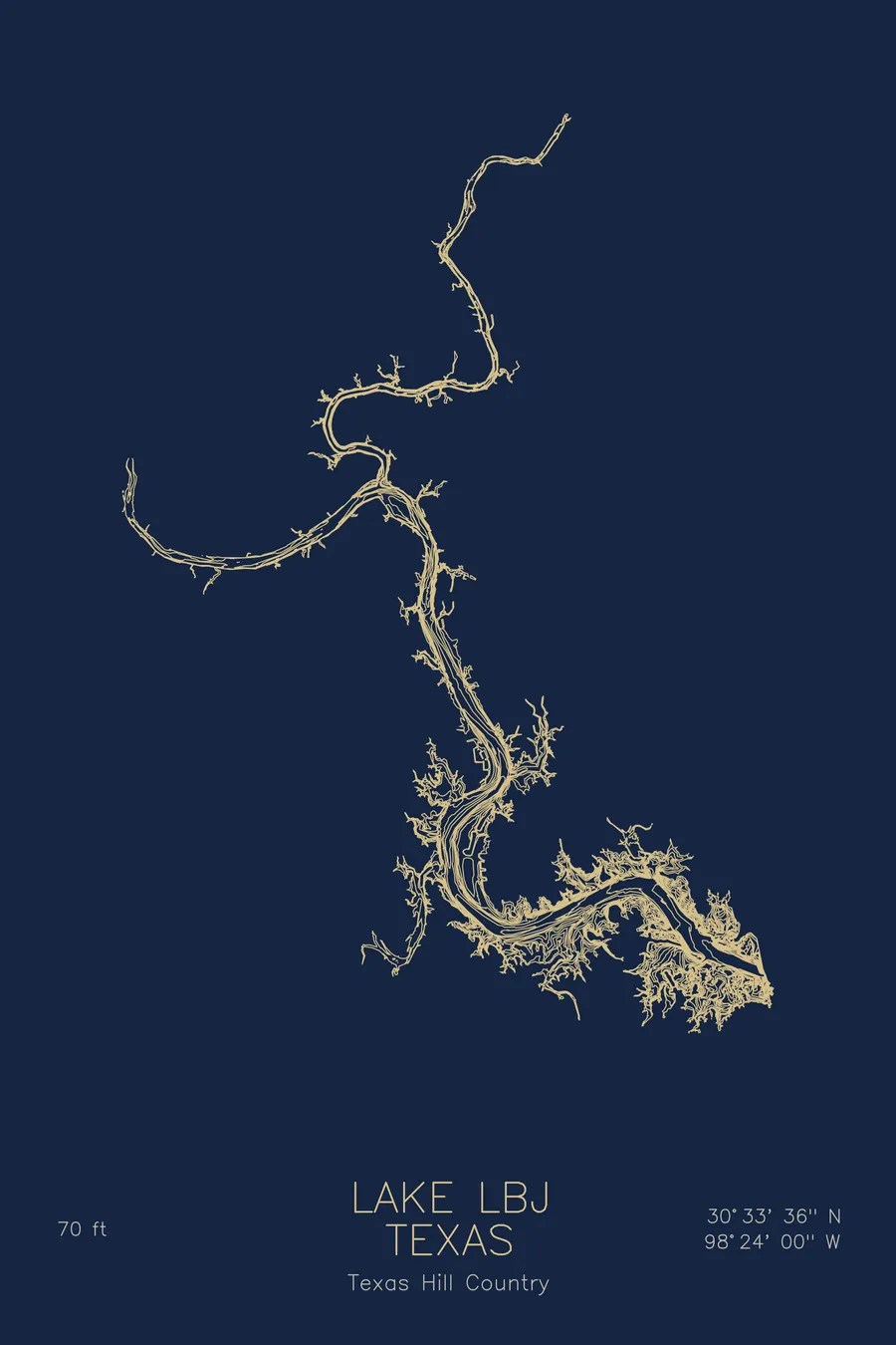
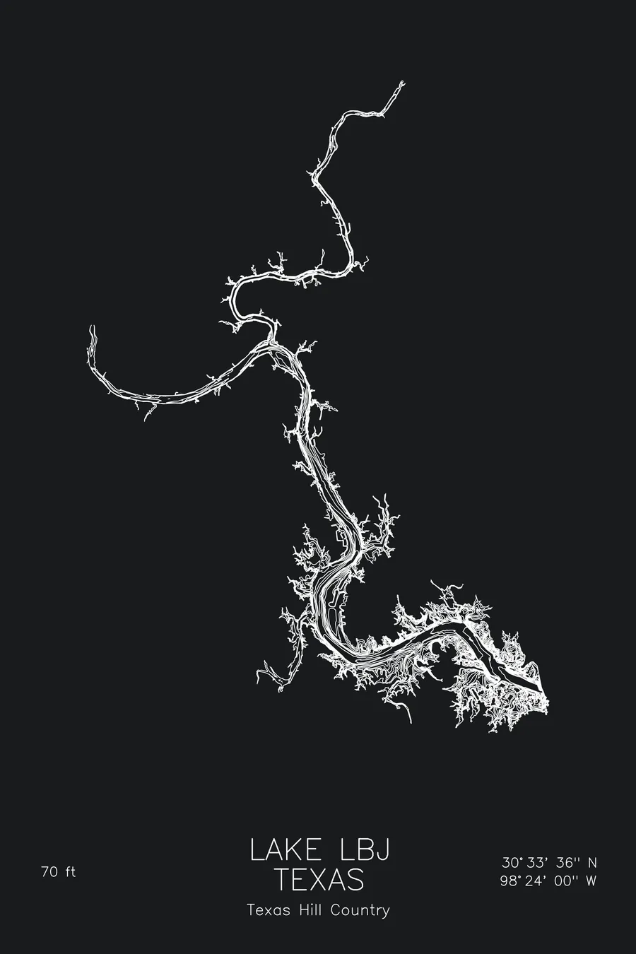
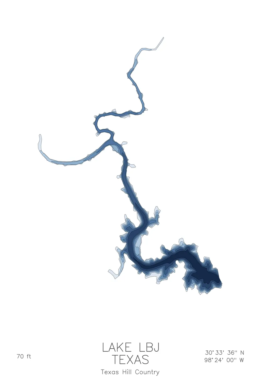
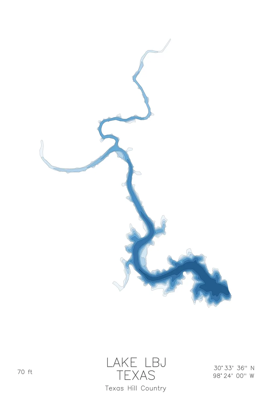
A bathymetric depth map of Lake LBJ, Texas, drawn from real lake survey data in a minimalist contour-line design.
Max depth 70 ft.
$50
Ink & paper: Lake Blue
Size: 12×18"
+Personalize this map
+ Details
- 12 × 18 inches
- Drawn on 98 lb (160 gsm) archival cotton paper
- Precision technical pens and archival inks
- Signed and dated on the back
- Ships flat, protected, ready to frame
Each map begins with elevation data and is drawn by a pen plotter in our Vermont studio. Mechanical precision, plus the texture and small imperfections of real ink on paper.
Off the screen
In real rooms



















+ About this map
Lake LBJ is one of the Highland Lakes of the Texas Hill Country, a reservoir on the Colorado River formed by Wirtz Dam in 1951 and later renamed for President Lyndon B. Johnson. Unlike its neighbors, it is held at a nearly constant level, which has made its shoreline a favorite for waterfront homes in Kingsland, Granite Shoals, and Horseshoe Bay. The lake reaches 70 feet deep.
The depth contours show two rivers meeting underwater. The map traces the drowned channels of the Colorado and the Llano, which join at Kingsland and continue as a single winding thread toward Wirtz Dam, where the deepest water lies. Away from the channels, the contours spread into shallow flats and granite studded coves, the quiet backwaters that make the lake feel more like a neighborhood than a reservoir.
+ Map details
- Lake LBJ
- Texas
- United States
- Texas Hill Country
- 30.5600N 98.4000W
- Lake bathymetric depth map
- Original pen plot, archival ink on cotton paper
- 8 × 12 in · 12 × 18 in · 18 × 24 in
- Max depth 70 ft
More maps