Colorado
Capitol Peak
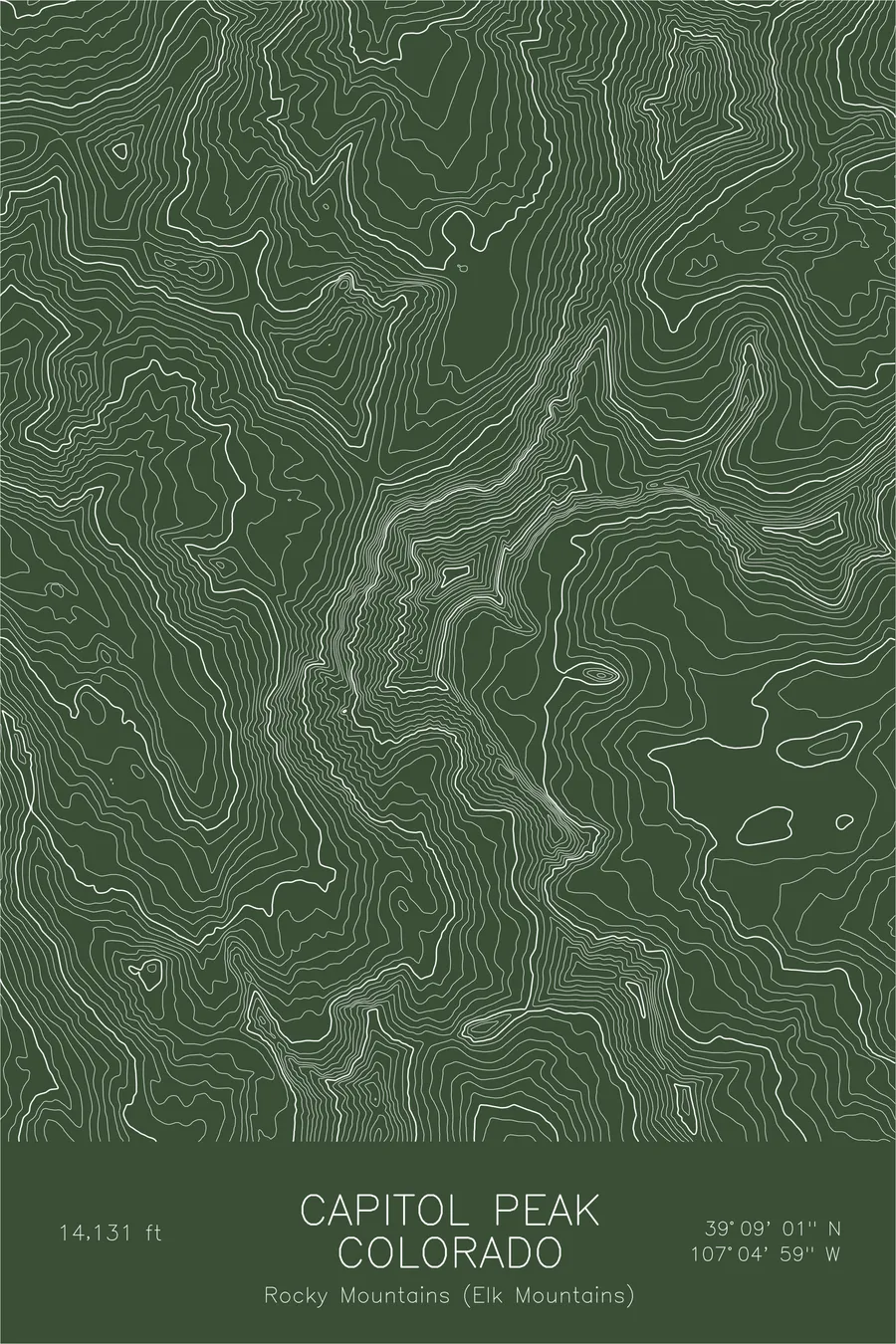
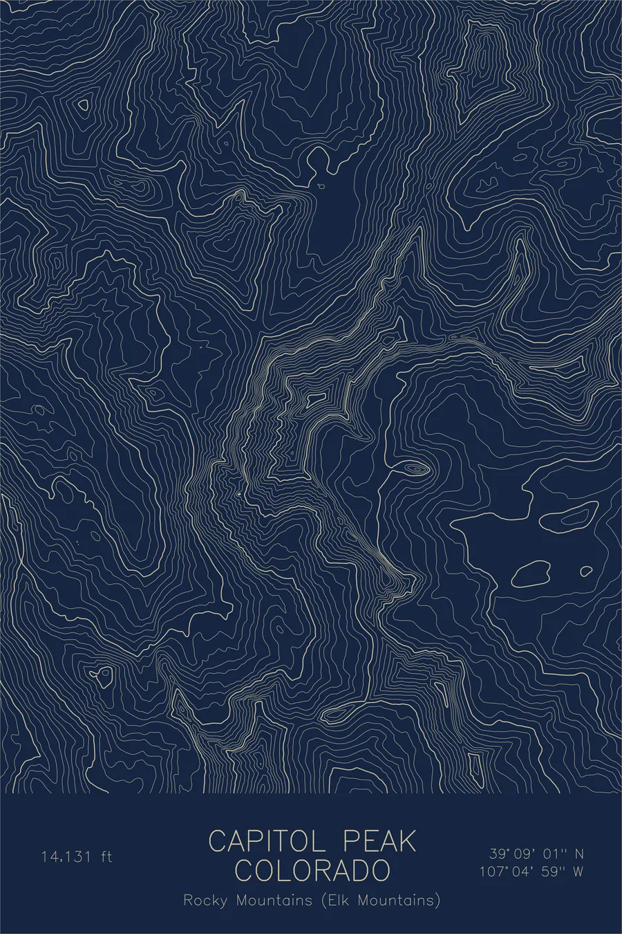
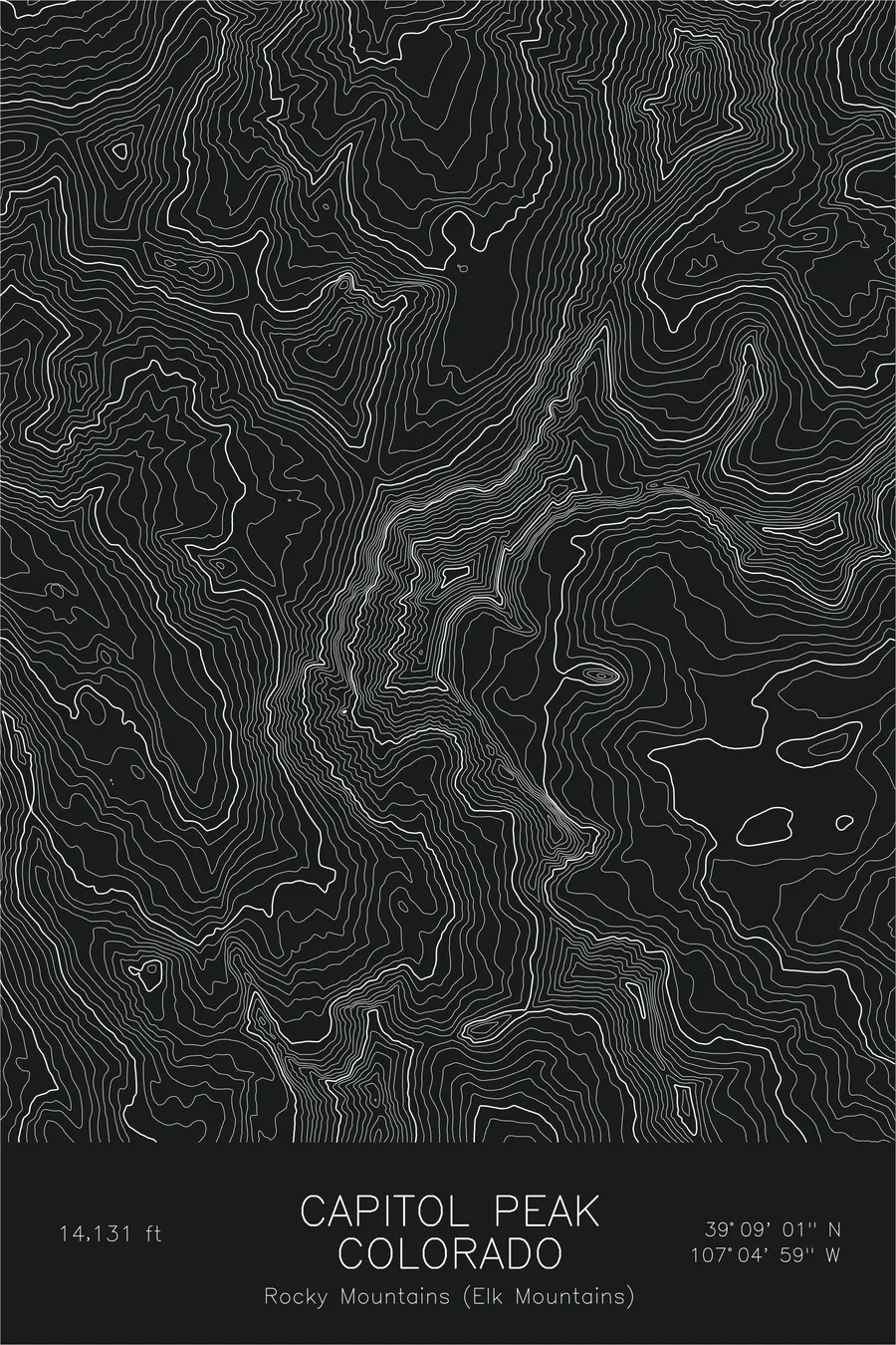
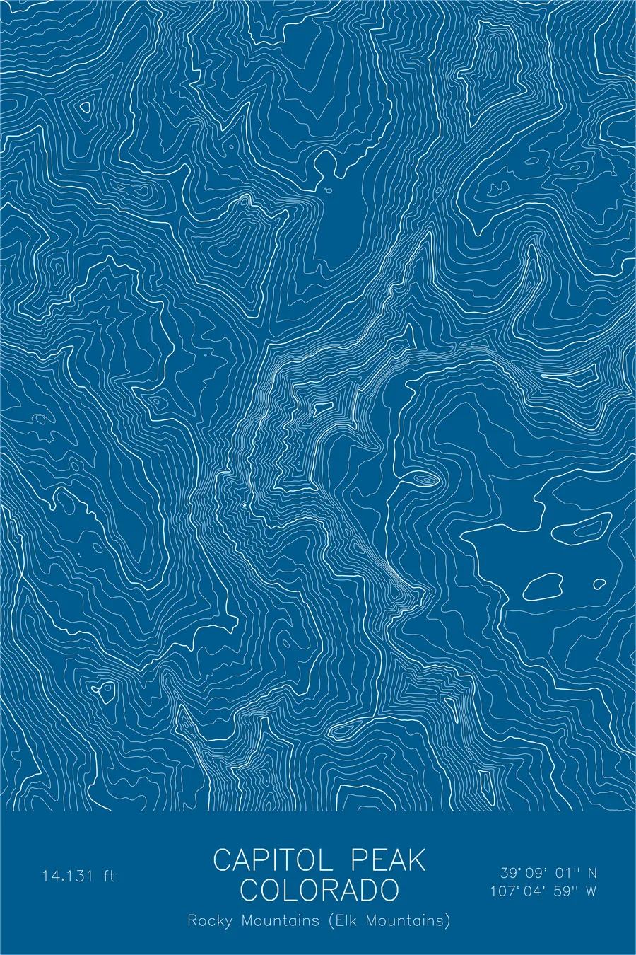
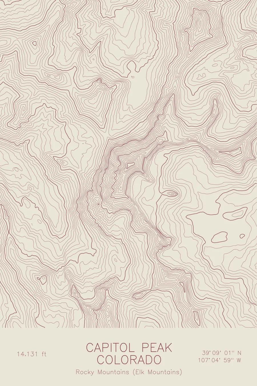
A pen-plotted topographic map of Capitol Peak in the Elk Mountains, Colorado, drawn from real elevation contour data.
The apparent shortcut from the summit down to Capitol Lake ends at a cliff band roughly 300 feet high.
$54
Ink & paper: Black
Size: 12×18"
+Personalize this map
+ Details
- 12 × 18 inches
- Drawn on 98 lb (160 gsm) archival cotton paper
- Precision technical pens and archival inks
- Signed and dated on the back
- Ships flat, protected, ready to frame
Each map begins with elevation data and is drawn by a pen plotter in our Vermont studio. Mechanical precision, plus the texture and small imperfections of real ink on paper.
Off the screen
In real rooms



















+ About this map
From the summit of Capitol Peak there appears to be a shortcut back down to Capitol Lake, one that avoids re-crossing the Knife Edge, the stretch of exposed ridge on the standard route with enormous drops on either side. The shortcut looks reasonable from above, steepens onto loose talus, and ends at a cliff band roughly 300 feet high. Five climbers died on the mountain in six weeks in the summer of 2017, and investigators believe at least three of them were attempting that descent. At 14,131 feet in Colorado’s Elk Mountains, Capitol is widely considered the state’s most difficult fourteener, and the standard route, Knife Edge and all, is the easy way down.
This map captures that ruggedness. The contour lines pinch nearly to contact along the north face above Capitol Lake, and the ridge toward the subpeak known as K2 traces the line of the Knife Edge itself. Around the summit, the lines carve out the glacial basins of the range, including the Pierre Lakes basin to the east, a landscape of cirques and arêtes cut into some of the steepest terrain in Colorado.
+ Map details
- Capitol Peak
- Colorado
- United States
- Rocky Mountains (Elk Mountains)
- Rocky Mountains
- 14,131 ft / 4,307 m
- 39.1503N 107.0831W
- Mountain topographic map
- Original pen plot, archival ink on cotton paper
- 8 × 12 in · 12 × 18 in · 18 × 24 in
- Colorado's most difficult 14er, famous Knife Edge
More maps