Argentina/Chile
Cerro Torre
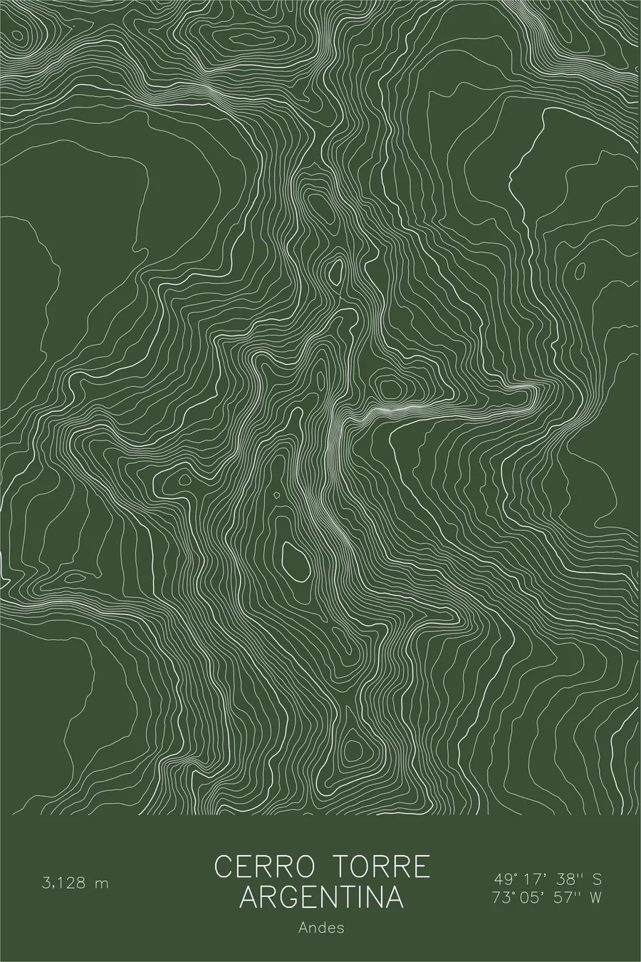
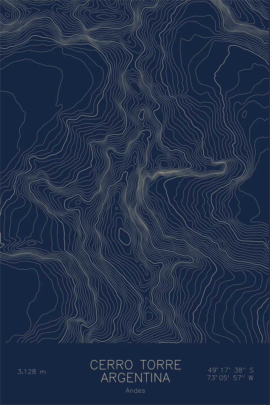
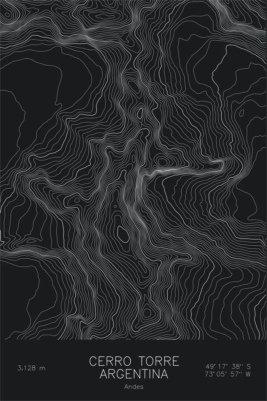
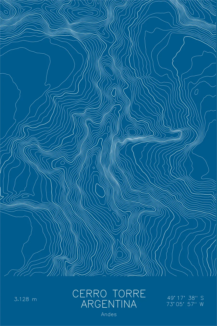
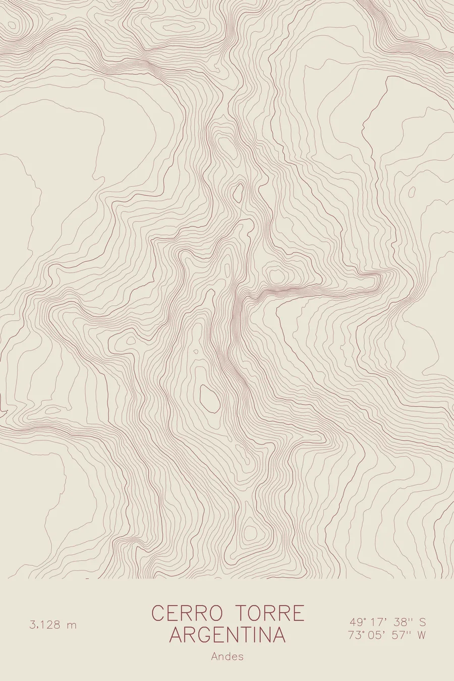
A pen-plotted topographic map of Cerro Torre in the Andes, Argentina/Chile, drawn from real elevation contour data.
A 300-pound air compressor has hung about 100 m below the summit since 1970.
$54
Ink & paper: Black
Size: 12×18"
+Personalize this map
+ Details
- 12 × 18 inches
- Drawn on 98 lb (160 gsm) archival cotton paper
- Precision technical pens and archival inks
- Signed and dated on the back
- Ships flat, protected, ready to frame
Each map begins with elevation data and is drawn by a pen plotter in our Vermont studio. Mechanical precision, plus the texture and small imperfections of real ink on paper.
Off the screen
In real rooms



















+ About this map
There is a gas-powered air compressor hanging on Cerro Torre about 100 m below the summit. Cesare Maestri hauled it, all 300-plus pounds of it, up the southeast ridge in 1970 and used it to drill roughly 400 bolts over a two-season siege. In January 2012 Hayden Kennedy and Jason Kruk removed about 125 of the bolts on their descent, erasing the route; days later David Lama free-climbed the line without them. The compressor stayed, later cabled to the rock so it could not be removed. The tower rises 10,262 feet from the Southern Patagonian Ice Field, sheer enough that for decades many doubted it could be climbed at all.
This map shows how abruptly the tower rises. The contour lines around the summit compress into nearly a single mass, tracing walls that gain thousands of feet in almost no horizontal distance. The spires of Torre Egger and Cerro Standhardt continue the ridgeline to the north, glaciers pool beneath the east face, and to the west the lines run out onto the vast white plain of the ice field.
+ Map details
- Cerro Torre
- Argentina/Chile
- Argentina / Chile
- Andes
- Andes
- 10,262 ft / 3,128 m
- 49.2939S 73.0992W
- Mountain topographic map
- Original pen plot, archival ink on cotton paper
- 8 × 12 in · 12 × 18 in · 18 × 24 in
- One of the most challenging peaks in the world
More maps