Ecuador
Chimborazo
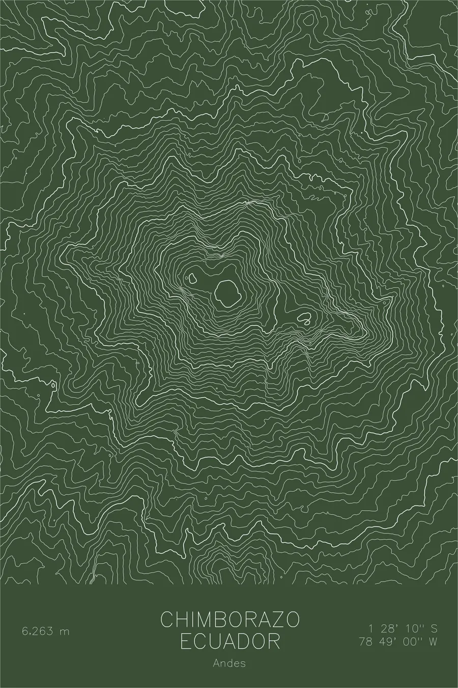
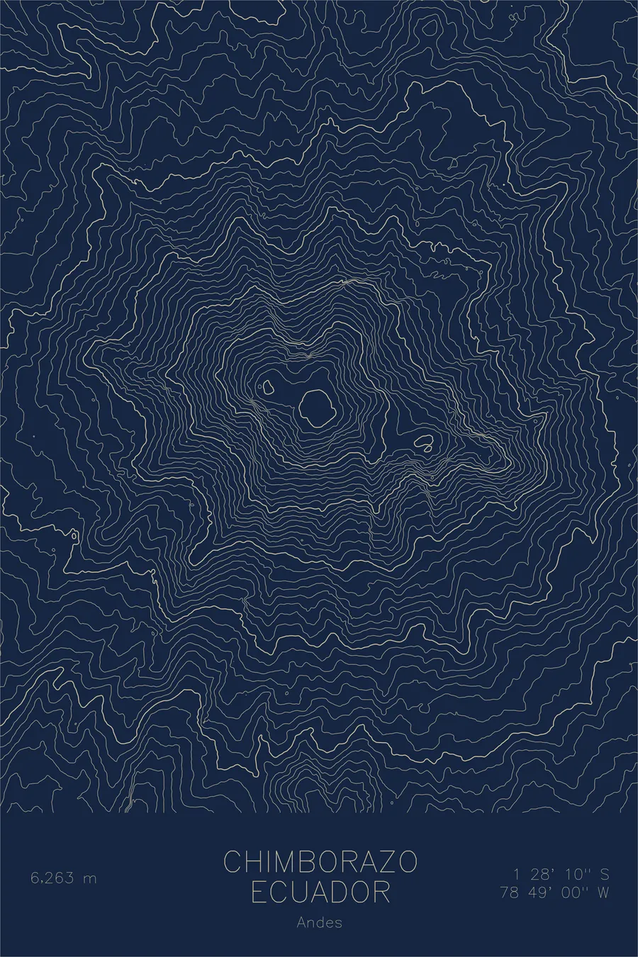
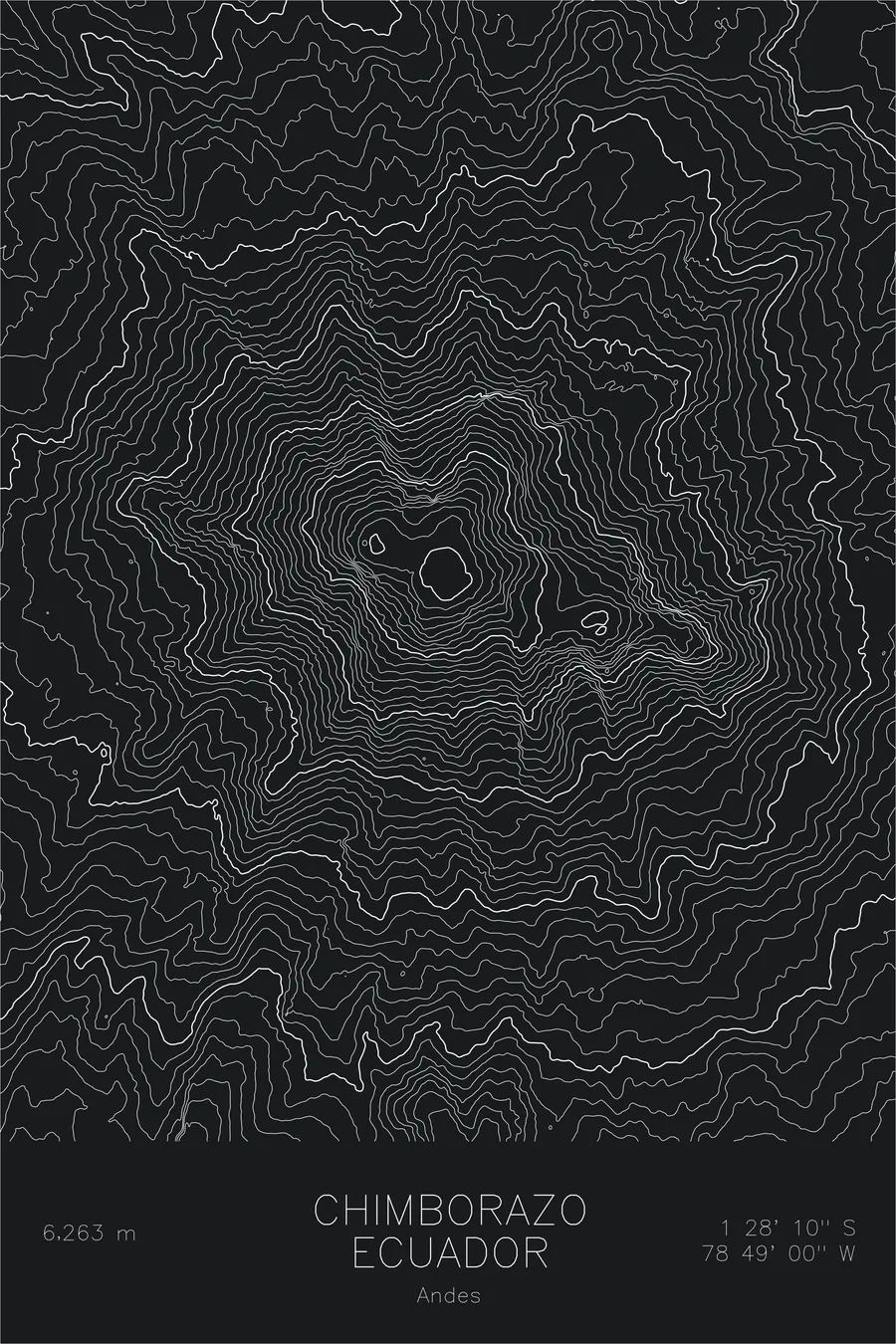
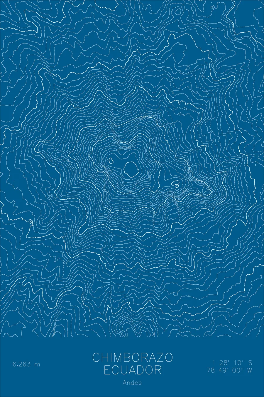
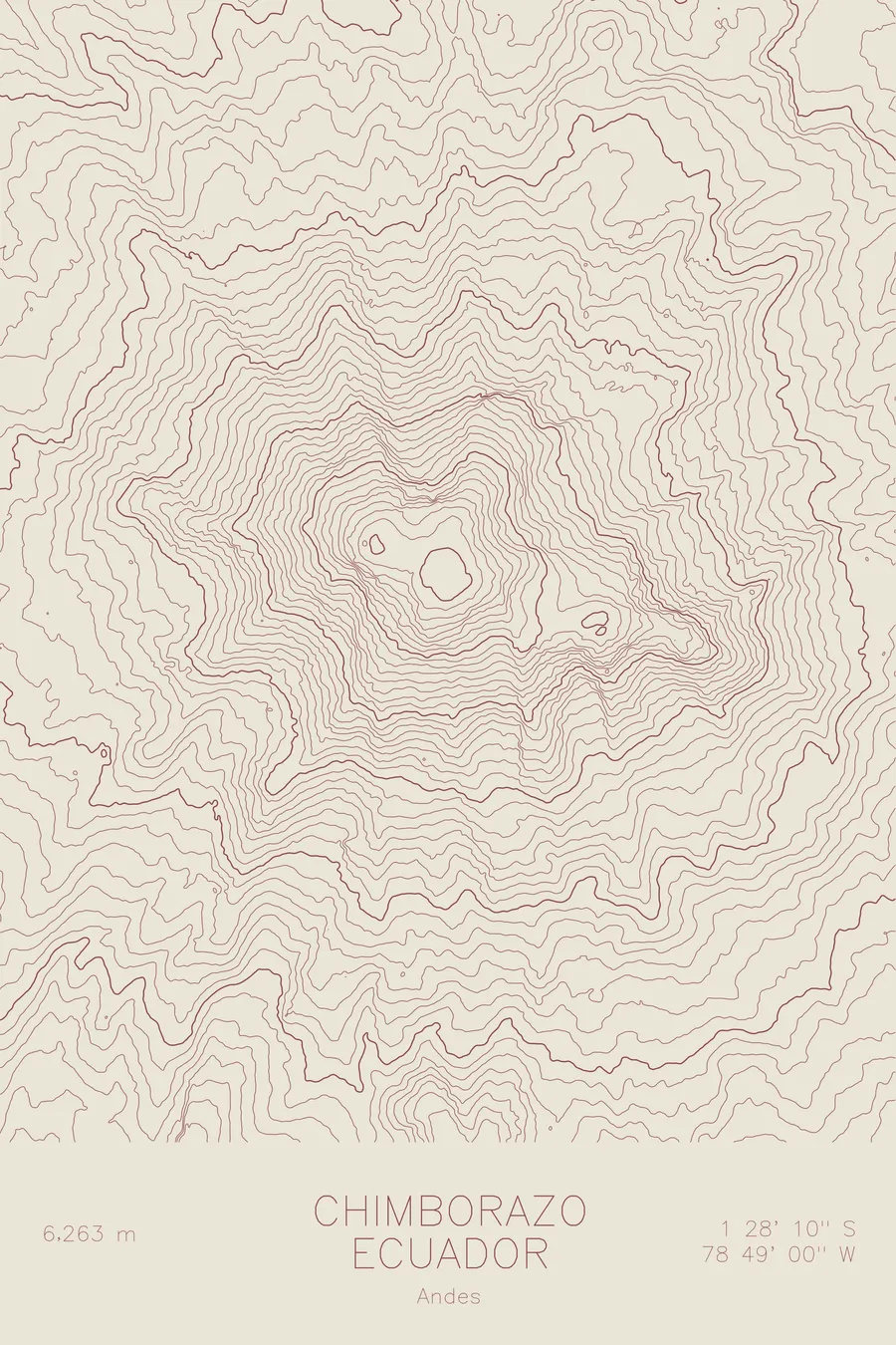
A pen-plotted topographic map of Chimborazo in the Andes, Ecuador, drawn from real elevation contour data.
The last of the mountain's ice cutters worked its glacier until 2024, in a trade he entered at 15.
$54
Ink & paper: Cream
Size: 12×18"
+Personalize this map
+ Details
- 12 × 18 inches
- Drawn on 98 lb (160 gsm) archival cotton paper
- Precision technical pens and archival inks
- Signed and dated on the back
- Ships flat, protected, ready to frame
Each map begins with elevation data and is drawn by a pen plotter in our Vermont studio. Mechanical precision, plus the texture and small imperfections of real ink on paper.
Off the screen
In real rooms



















+ About this map
Until shortly before his death in October 2024, at the age of 80, Baltazar Ushca was still climbing Chimborazo with donkeys and a pickaxe to cut blocks of ice from the glacier and sell them in the markets below, a trade he had entered at 15. Around 40 men once worked the mountain’s ice in four or five groups, his brothers among them, and one by one every other man quit for better-paying work. Chimborazo itself rises 20,549 feet, and because the Earth bulges at the equator, its summit is the farthest point on the planet’s surface from the Earth’s center, farther even than the summit of Everest.
This map shows a broad volcanic giant rather than a single sharp cone. The contour lines trace a massive dome with several distinct high points strung along the top of the massif. Glaciers descend on all sides, and the wide spacing of the lower lines shows the enormous footprint the mountain spreads across the high páramo grasslands that surround it.
+ Map details
- Chimborazo
- Ecuador
- Andes
- Andes
- 20,549 ft / 6,263 m
- 1.4694S 78.8167W
- Mountain topographic map
- Original pen plot, archival ink on cotton paper
- 8 × 12 in · 12 × 18 in · 18 × 24 in
- Farthest point from Earth's center
More maps