Ecuador
Cotopaxi
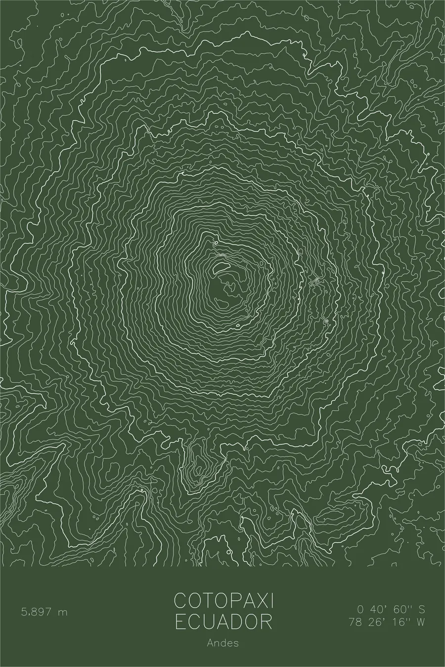
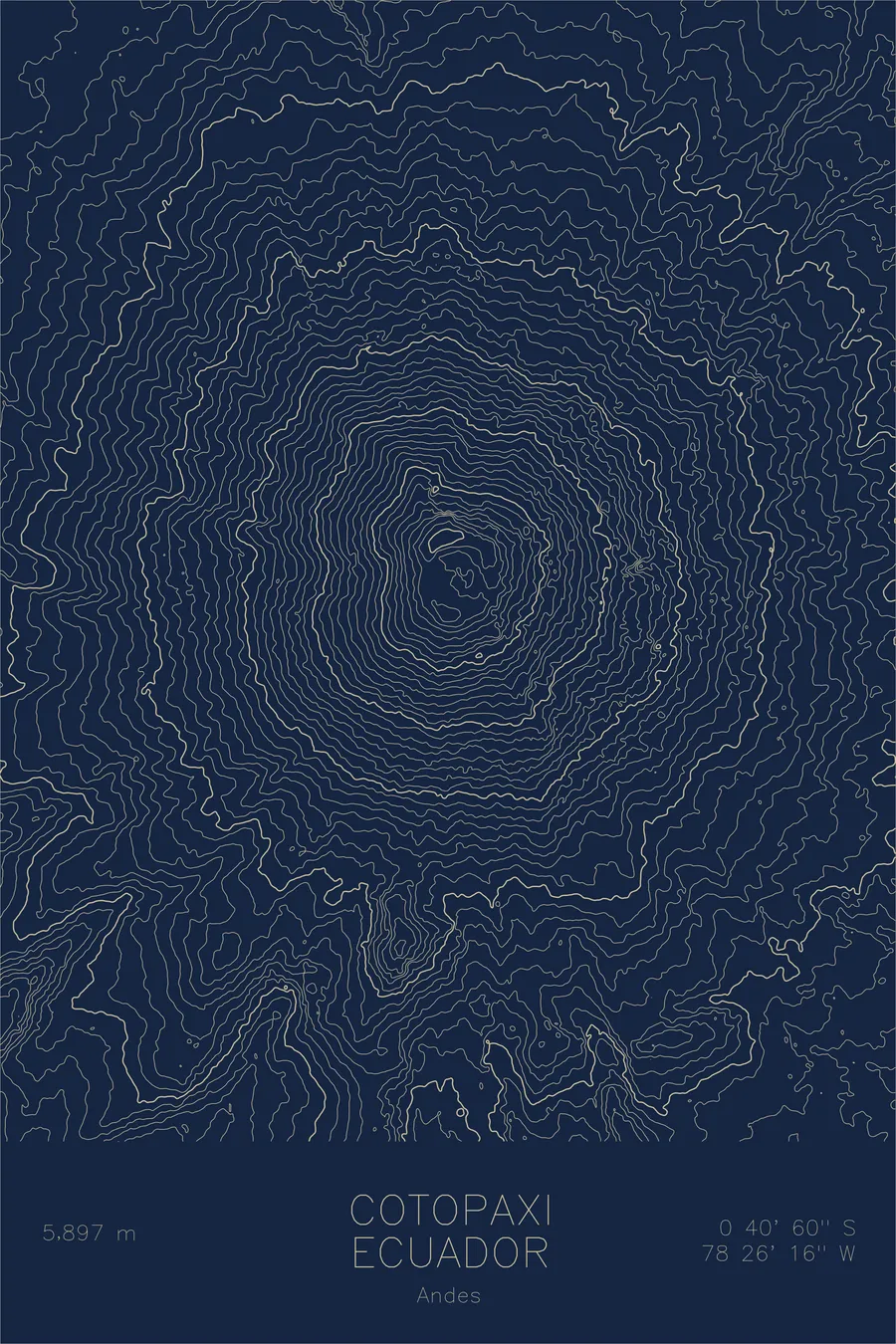
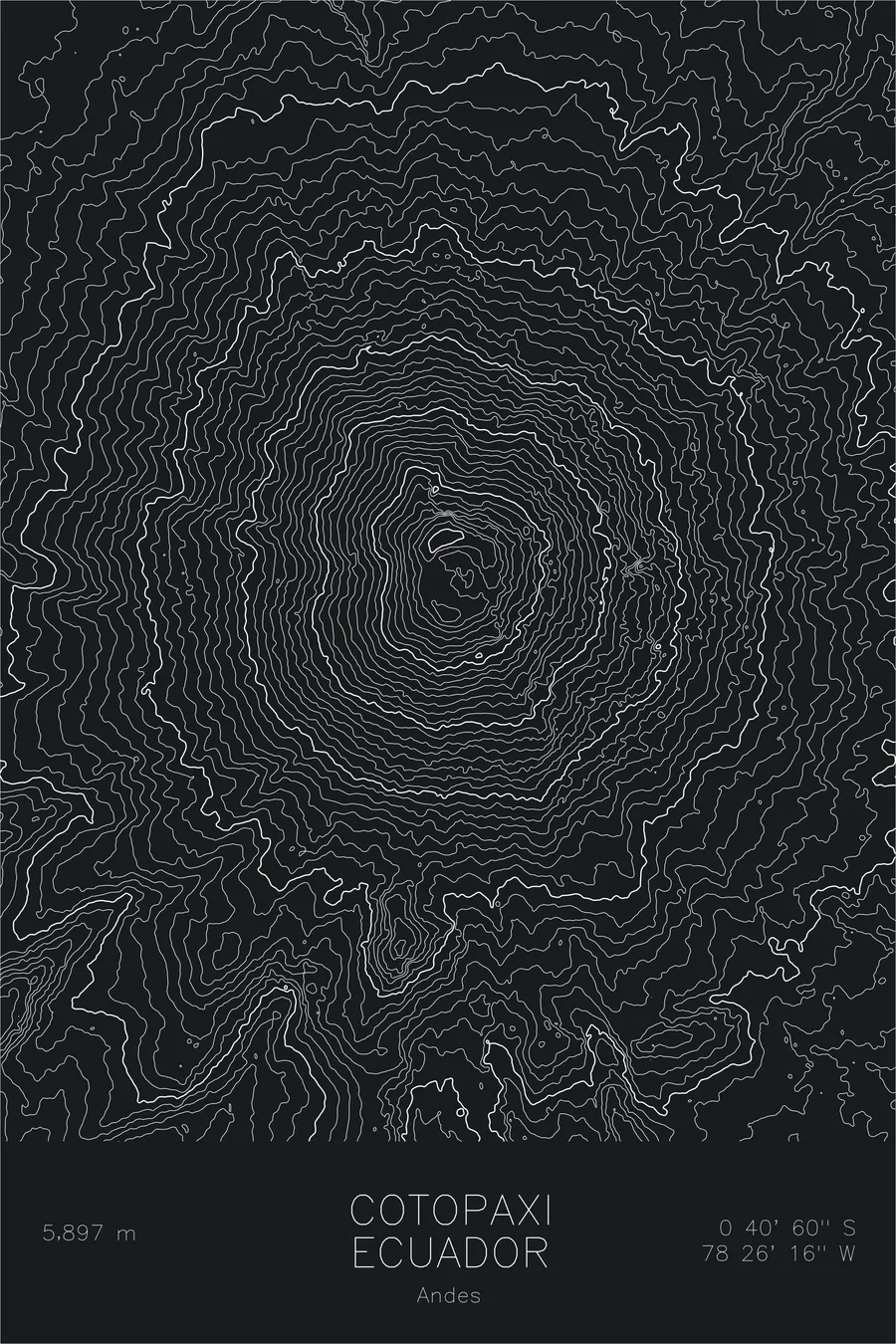
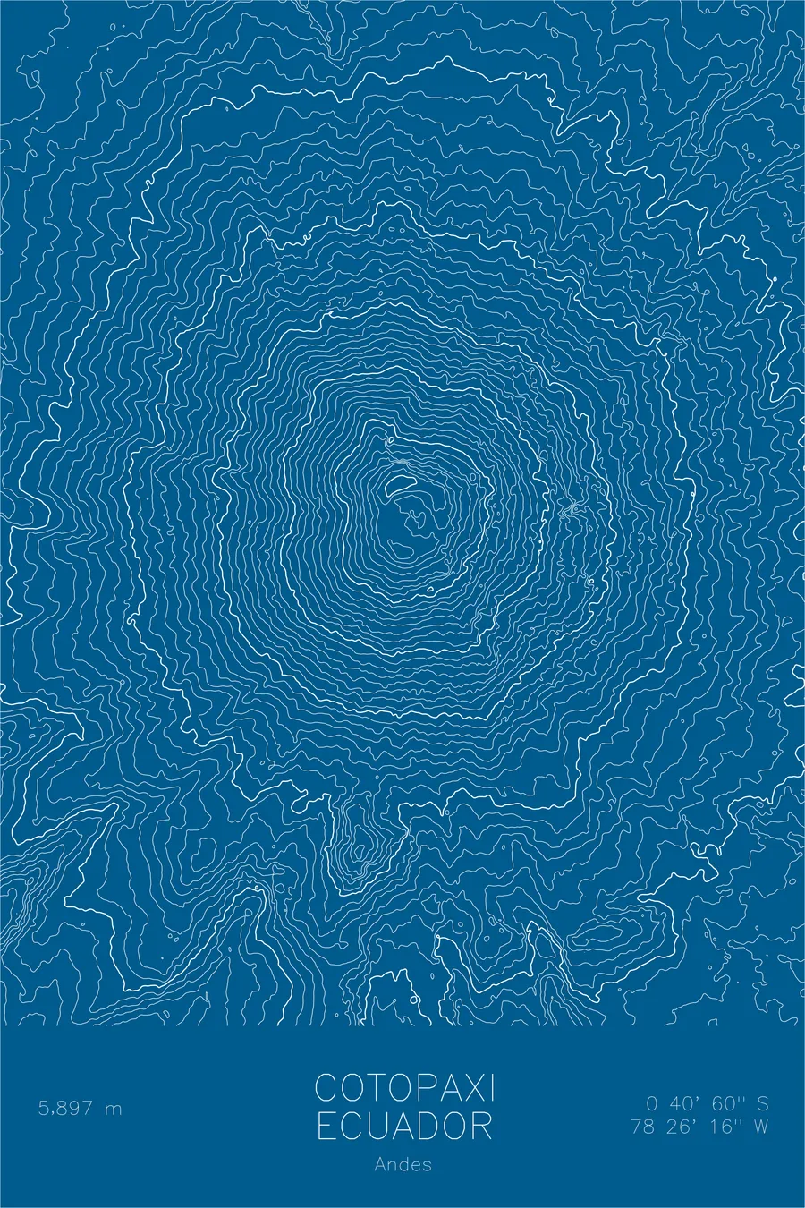
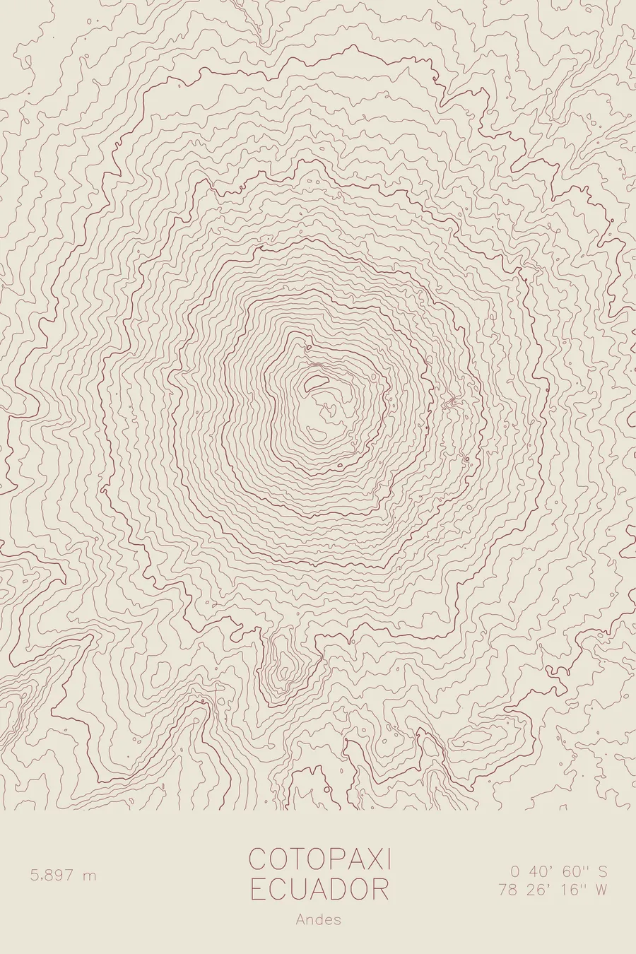
A pen-plotted topographic map of Cotopaxi in the Andes, Ecuador, drawn from real elevation contour data.
One of the highest active volcanoes. 19,347 feet above sea level.
$54
Ink & paper: Navy
Size: 12×18"
+Personalize this map
+ Details
- 12 × 18 inches
- Drawn on 98 lb (160 gsm) archival cotton paper
- Precision technical pens and archival inks
- Signed and dated on the back
- Ships flat, protected, ready to frame
Each map begins with elevation data and is drawn by a pen plotter in our Vermont studio. Mechanical precision, plus the texture and small imperfections of real ink on paper.
Off the screen
In real rooms



















+ About this map
Cotopaxi rises 19,347 feet in the Ecuadorian Andes, one of the highest active volcanoes in the world. It stands along the Avenue of the Volcanoes south of Quito, wrapped in glacier despite sitting almost exactly on the equator. Its cone is famously symmetrical, a textbook stratovolcano built by repeated eruptions, and it remains active and closely monitored today.
This map makes that symmetry visible. The contour lines form nearly perfect concentric rings from the surrounding high plateau to the crater at the summit, a pattern few mountains on Earth can match. The tight, even spacing of the lines records the steady steepness of the cone, and at the very center they close around the summit crater itself, the source of the eruptions that built the mountain.
+ Map details
- Cotopaxi
- Ecuador
- Andes
- Andes
- 19,347 ft / 5,897 m
- 0.6833S 78.4378W
- Mountain topographic map
- Original pen plot, archival ink on cotton paper
- 8 × 12 in · 12 × 18 in · 18 × 24 in
- One of the highest active volcanoes
More maps