Arkansas
Coler
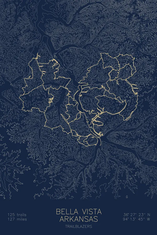
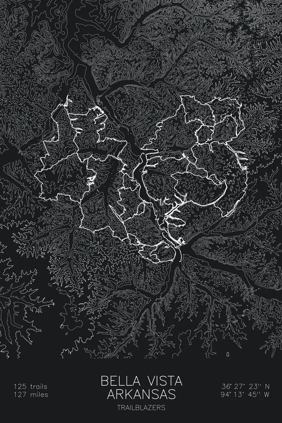
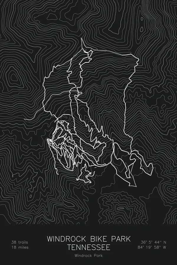
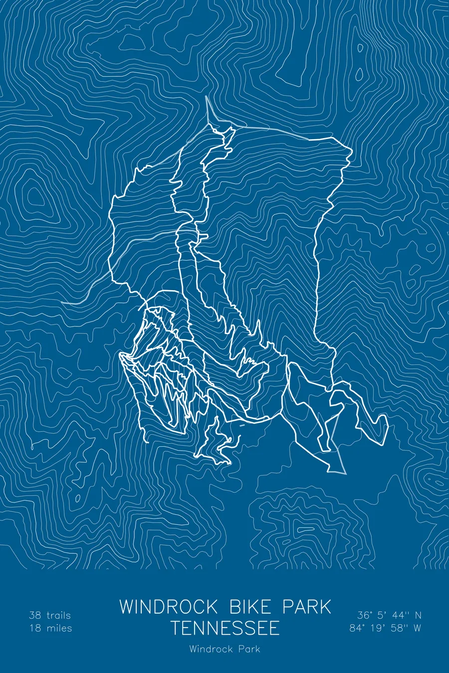
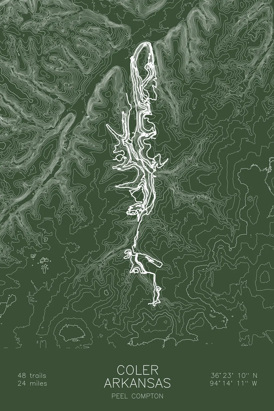
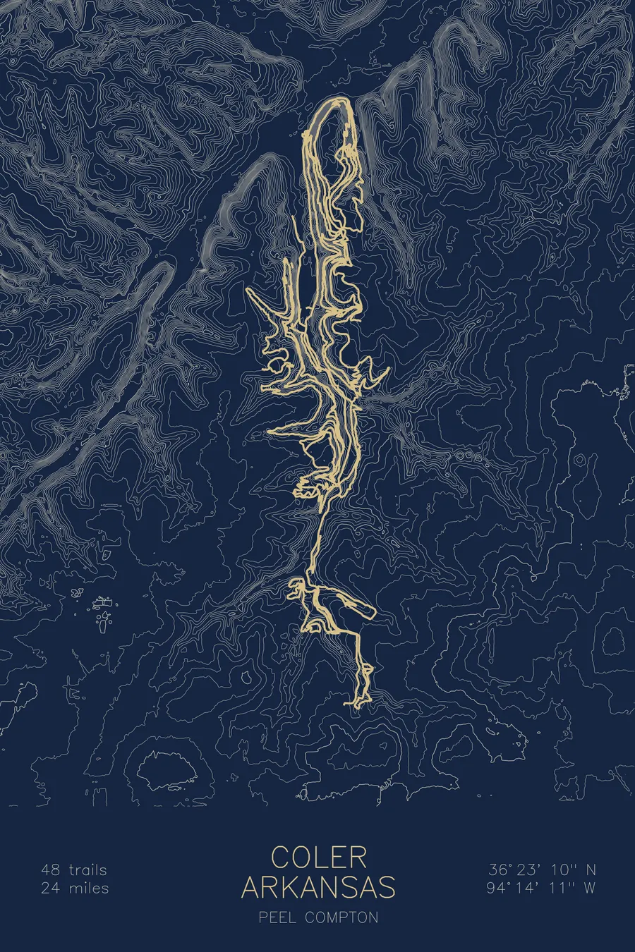
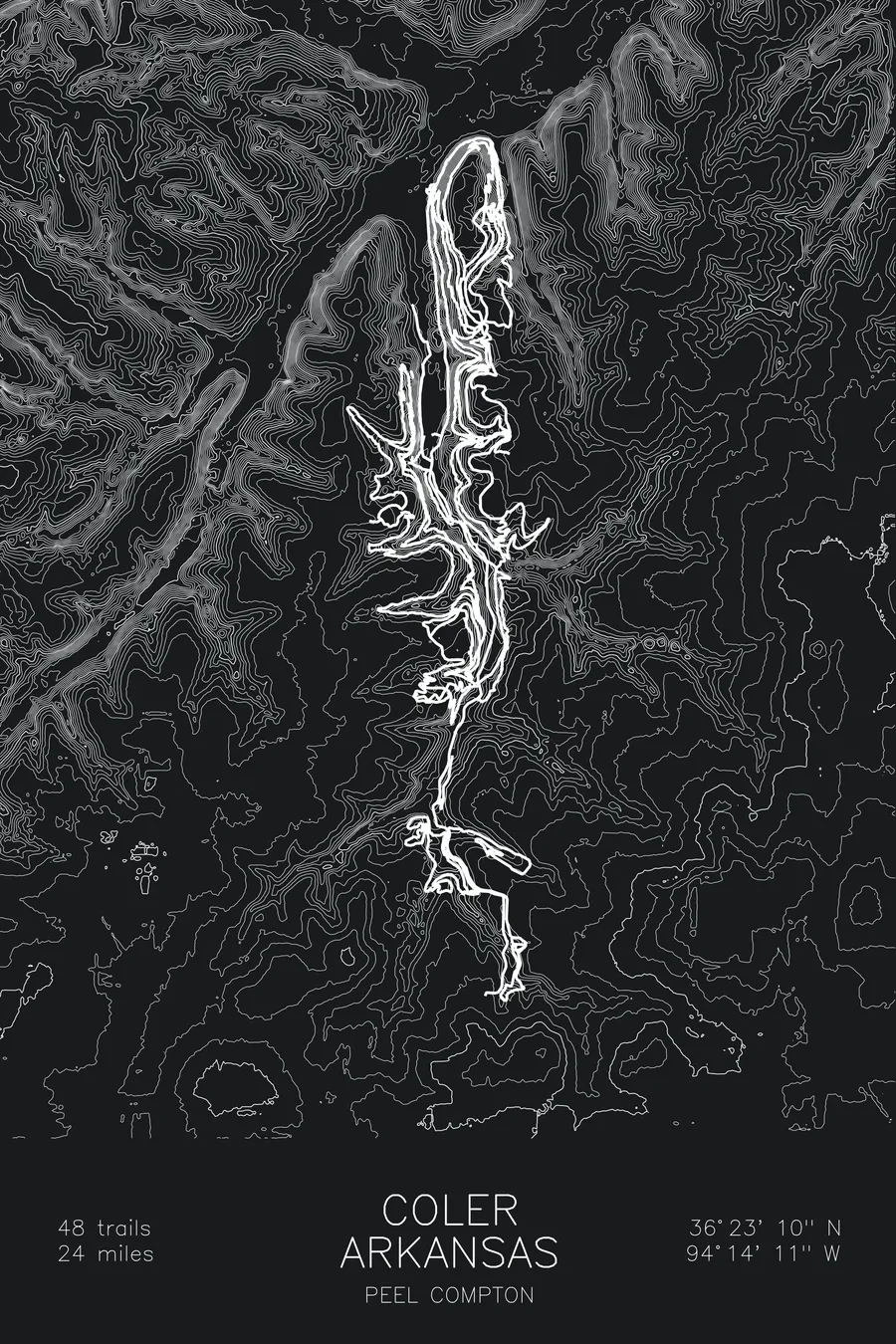
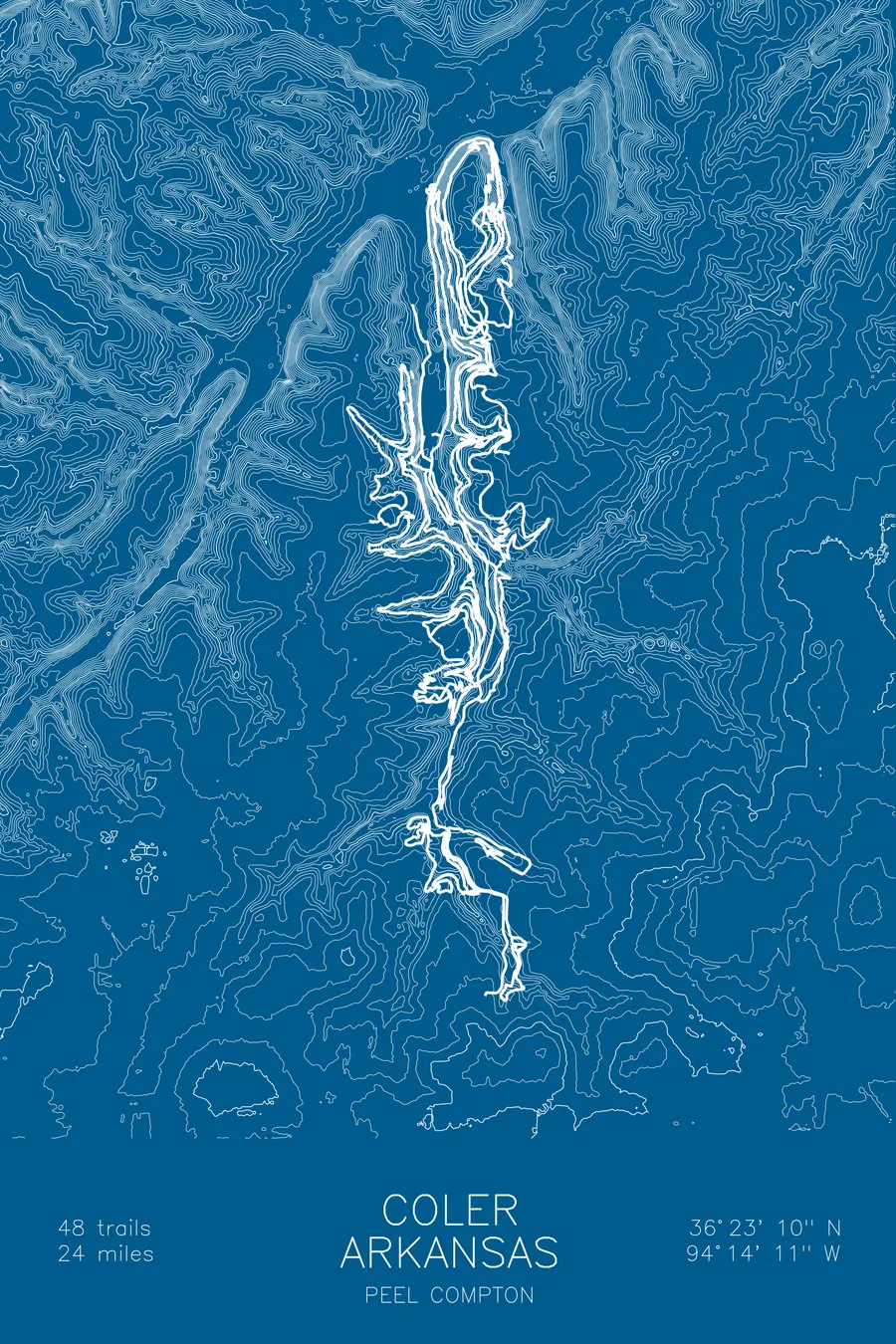
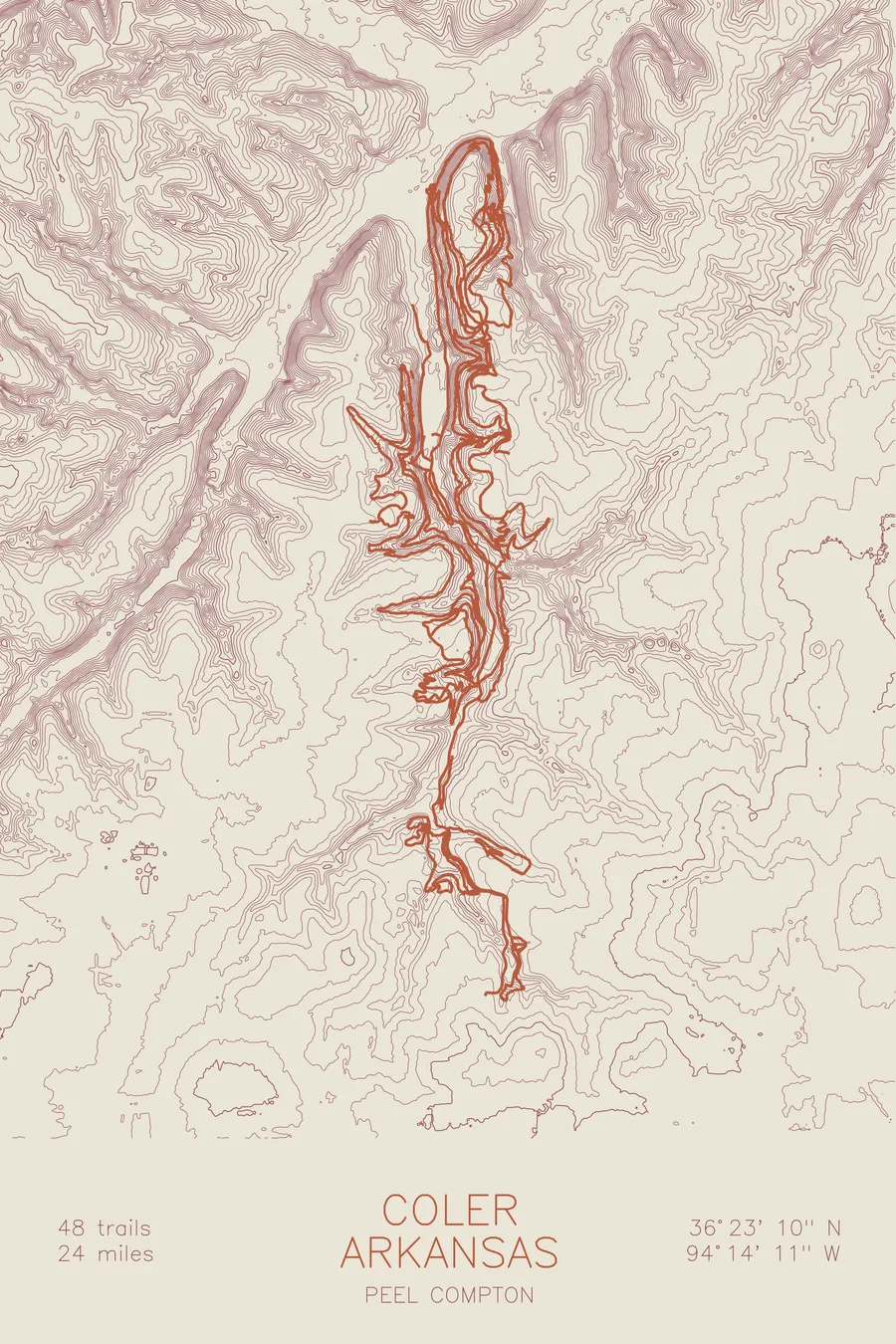
A mountain bike trail map of Coler, Arkansas, combining the trail network with the surrounding topography.
48 trails, 24 miles of singletrack.
$63
Ink & paper: Blue
Size: 12×18"
+Personalize this map
+ Details
- 12 × 18 inches
- Drawn on 98 lb (160 gsm) archival cotton paper
- Precision technical pens and archival inks
- Signed and dated on the back
- Ships flat, protected, ready to frame
Each map begins with elevation data and is drawn by a pen plotter in our Vermont studio. Mechanical precision, plus the texture and small imperfections of real ink on paper.
Off the screen
In real rooms



















+ About this map
Coler Mountain Bike Preserve is Bentonville’s showpiece, a purpose-built trail system minutes from downtown. The preserve stacks 48 trails and 24 miles of singletrack into one Ozark valley, from smooth green flow to the pro lines dropping off The Hub, the elevated launch deck at the top of the ridge. Drop the Hammer is the one people travel for, a steep, committed plunge straight down the hillside.
The map traces every line in the preserve as it works the contours of the valley. The contour lines show two parallel ridges with a creek bottom between them, and you can see how the builders used every foot of it: climbs snaking up the flanks, descents falling off the ridgetops, and the whole network folding back on itself to wring real elevation out of Ozark hills.
+ Map details
- Coler
- Arkansas
- United States
- Ozarks
- 1,318 ft / 402 m
- 36.3861N 94.2364W
- Mountain bike trail map
- Original pen plot, archival ink on cotton paper
- 8 × 12 in · 12 × 18 in · 18 × 24 in
- 48 trails, 24 miles of singletrack
More maps