Oregon
Crater Lake
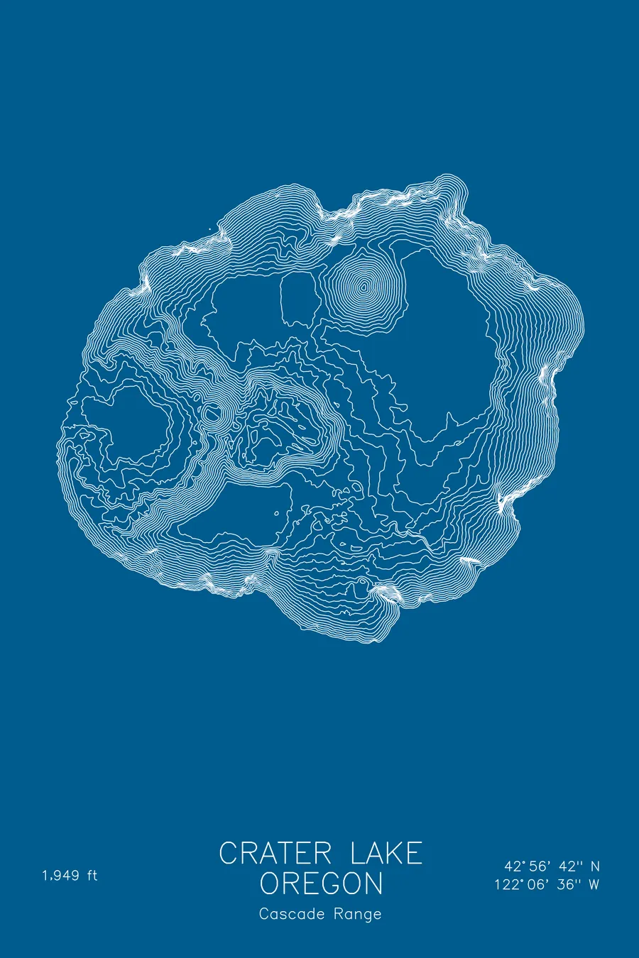
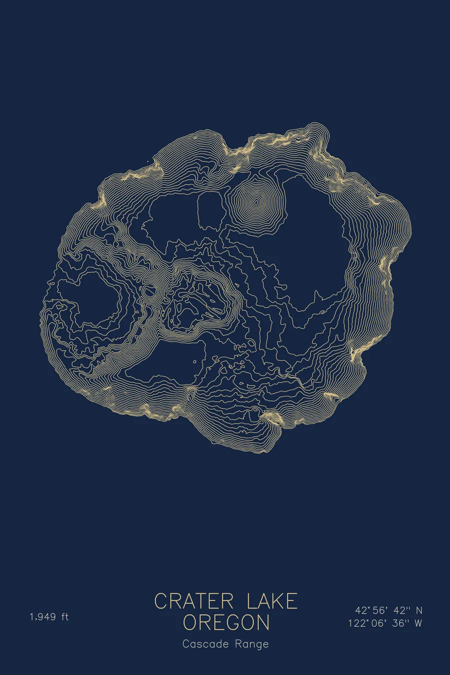
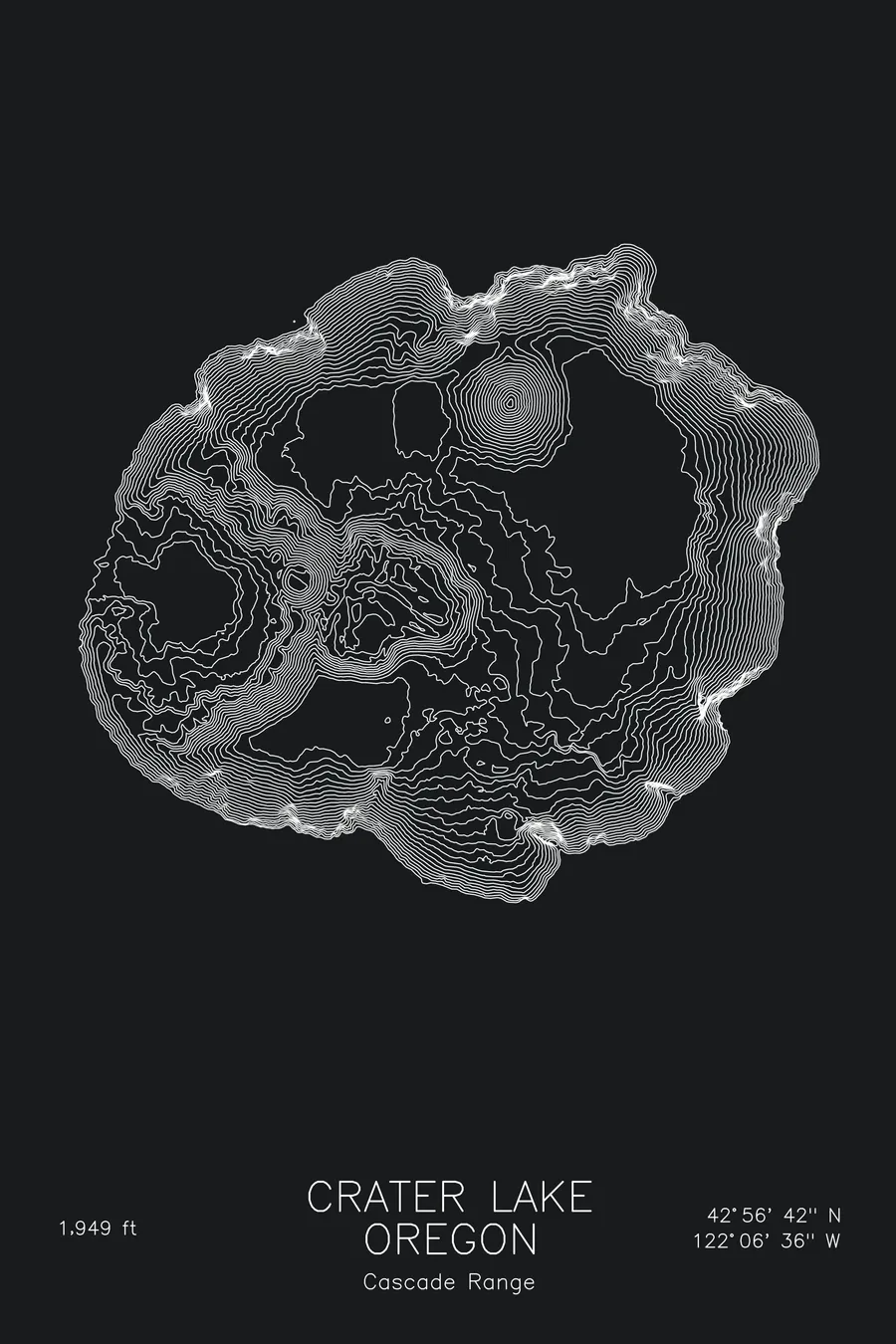
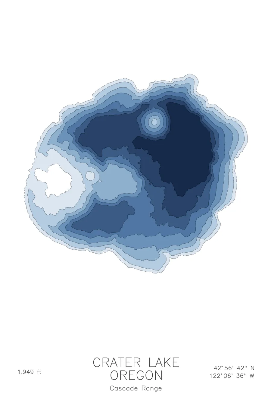
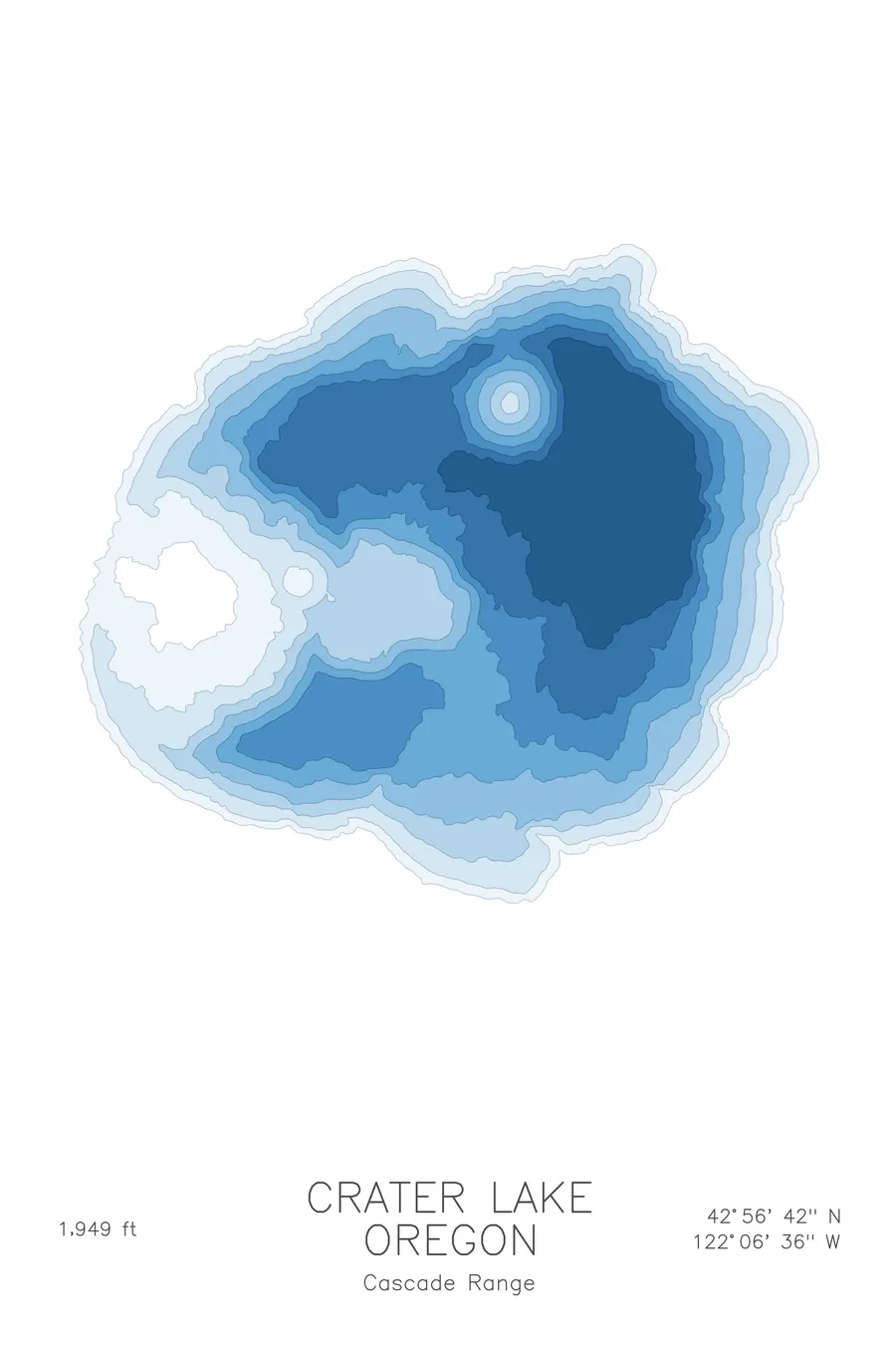
A bathymetric depth map of Crater Lake, Oregon, drawn from real lake survey data in a minimalist contour-line design.
A 450-year-old hemlock trunk has floated perfectly upright here since at least 1896.
$50
Ink & paper: Lake Blue
Size: 12×18"
+Personalize this map
+ Details
- 12 × 18 inches
- Drawn on 98 lb (160 gsm) archival cotton paper
- Precision technical pens and archival inks
- Signed and dated on the back
- Ships flat, protected, ready to frame
Each map begins with elevation data and is drawn by a pen plotter in our Vermont studio. Mechanical precision, plus the texture and small imperfections of real ink on paper.
Off the screen
In real rooms



















+ About this map
In 1938, park naturalist John Doerr spent three months following a log. The Old Man of the Lake is a 30-foot hemlock trunk carbon-dated at more than 450 years old, and it has been bobbing perfectly vertical in Crater Lake since at least 1896, when USGS geologist J.S. Diller first recorded it. Doerr’s tracking found that between July 1 and September 30 it traveled more than 62 miles, including 3.8 miles on one windy day, respectable mileage for a dead tree. Its territory is the deepest lake in the United States, 1,943 feet of water filling the caldera left when Mount Mazama collapsed about 7,700 years ago.
The depth contours show a lake unlike any other. Tight rings plunge from the caldera rim straight toward the deep central basin, with almost no shallow water anywhere along the shore. Wizard Island stands out as a bullseye of concentric lines, the summit of a volcano growing inside a volcano. The map makes plain what the blue surface only hints at: a nearly 2,000 foot pit rimmed by cliffs on every side.
+ Map details
- Crater Lake
- Oregon
- United States
- Pacific Northwest
- 42.9450N 122.1100W
- Lake bathymetric depth map
- Original pen plot, archival ink on cotton paper
- 8 × 12 in · 12 × 18 in · 18 × 24 in
- Max depth 1,943 ft
More maps