British Columbia
Fernie
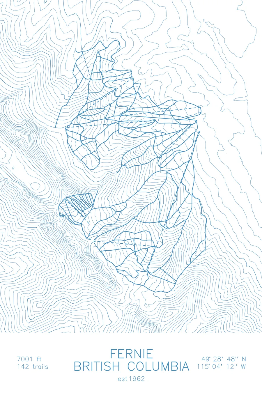
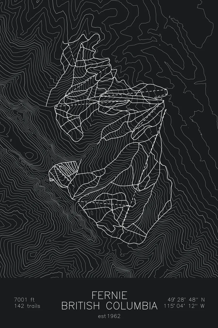
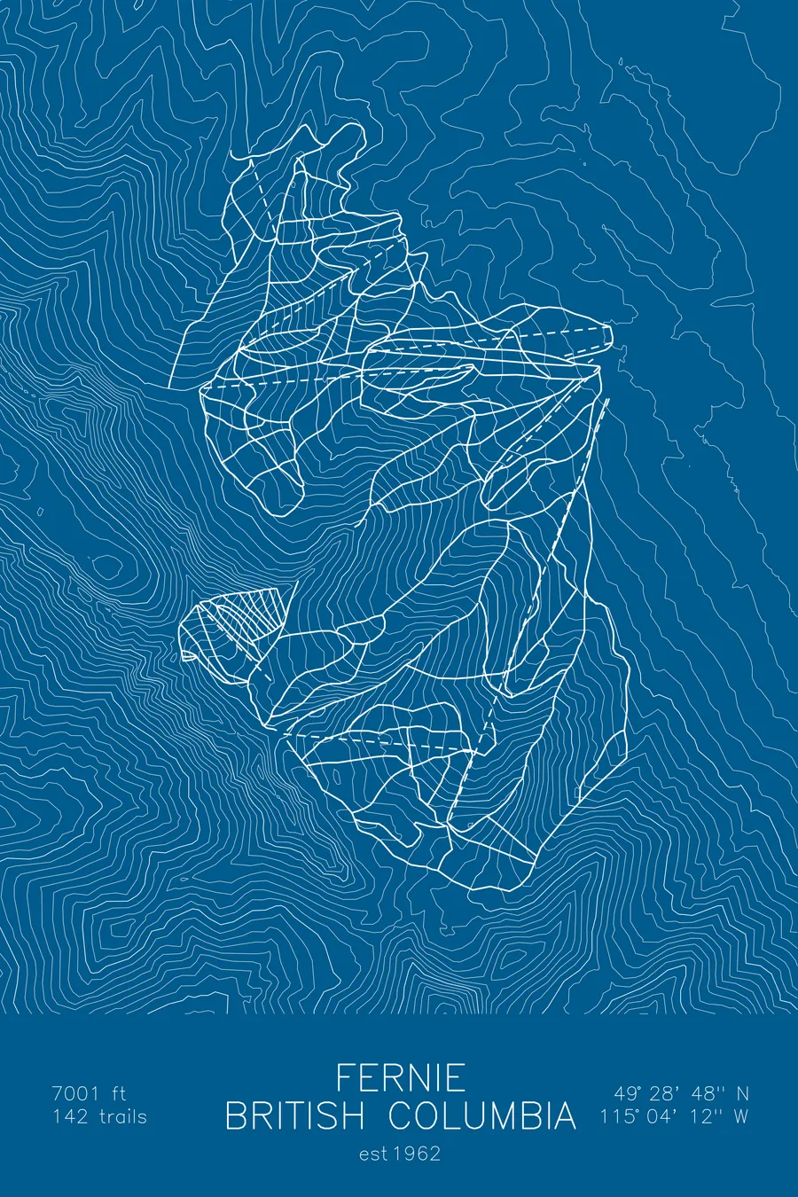
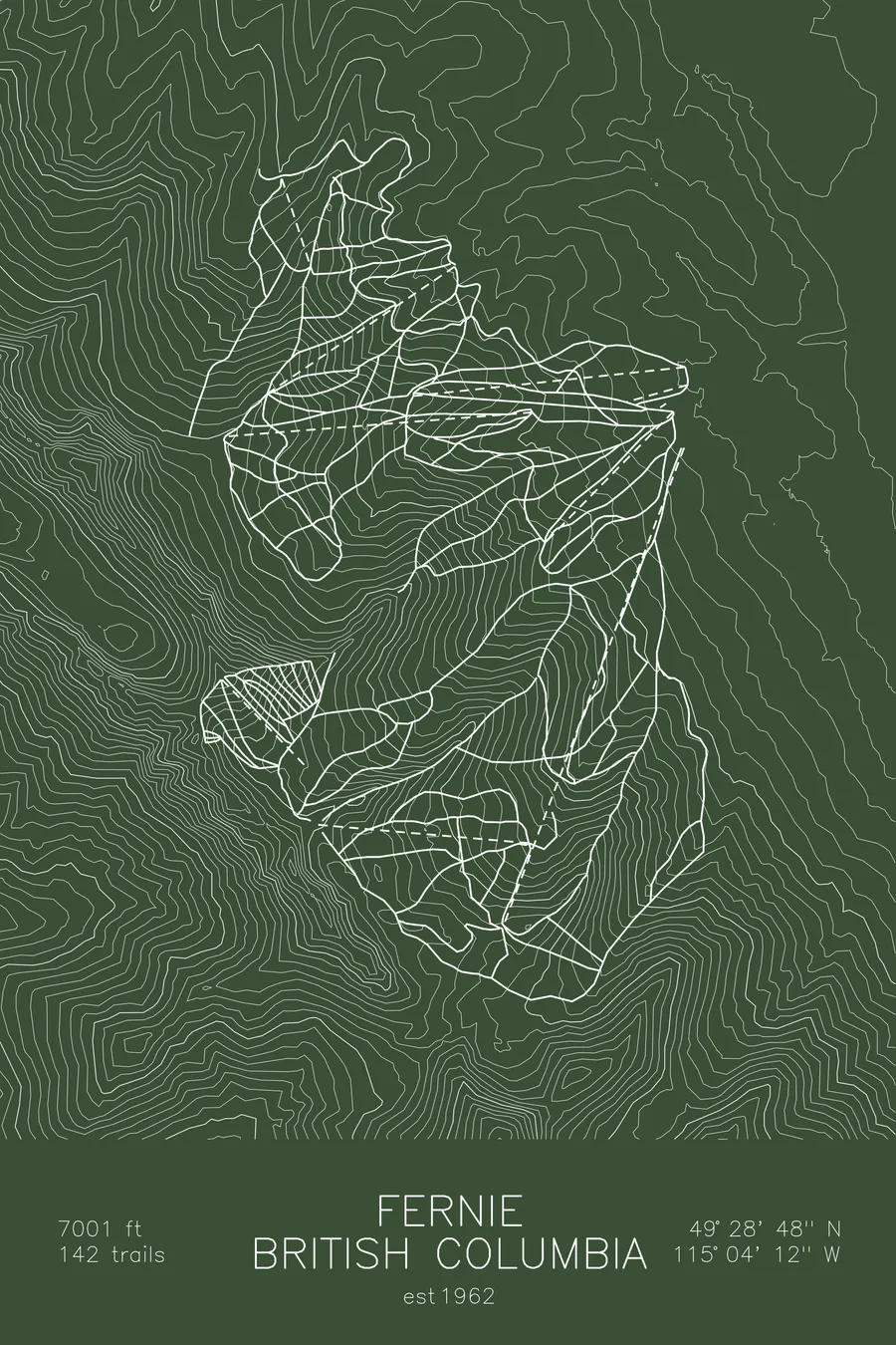
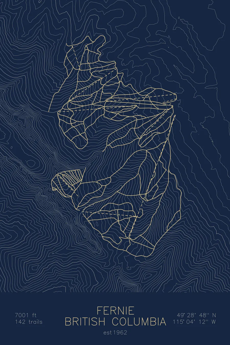
A topographic ski map of Fernie, British Columbia, with the resort's runs and lifts drawn over real terrain in a minimalist contour-line design.
Est. 1962. 142 trails. 7,001 feet above sea level.
$63
Ink & paper: Arctic White
Size: 12×18"
+Personalize this map
+ Details
- 12 × 18 inches
- Drawn on 98 lb (160 gsm) archival cotton paper
- Precision technical pens and archival inks
- Signed and dated on the back
- Ships flat, protected, ready to frame
Each map begins with elevation data and is drawn by a pen plotter in our Vermont studio. Mechanical precision, plus the texture and small imperfections of real ink on paper.
Off the screen
In real rooms



















+ About this map
Fernie Alpine Resort lies in the Canadian Rockies of southeastern British Columbia, renowned for its deep, dry powder and massive snowfall that regularly tops most resorts in the Rockies. Its defining feature is a chain of five alpine bowls, Cedar, Timber, Currie, Lizard, and Siberia, carved side by side into the Lizard Range and offering over 2,500 acres of varied terrain: open powder fields up high, steep chutes off the ridges, and long tree runs back to the valley.
Below the bowls sits the historic coal-mining town of Fernie, one of the few authentic mountain towns left on the powder highway. The contour map traces the scalloped headwalls of the five bowls and the sheer limestone ridgelines that give Fernie its dramatic skyline.
+ Map details
- Fernie
- British Columbia
- Canada
- Pacific Northwest
- 7,001 ft / 2,134 m
- 49.4800N 115.0700W
- Ski resort trail map
- Original pen plot, archival ink on cotton paper
- 8 × 12 in · 12 × 18 in · 18 × 24 in
- Est. 1962. 142 trails
More maps