Washington
Galbraith
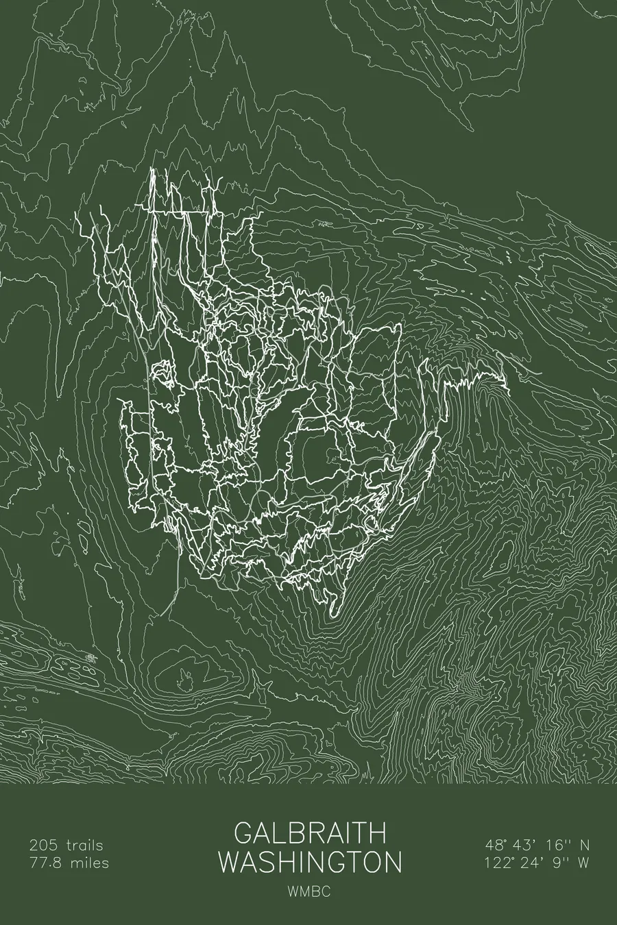
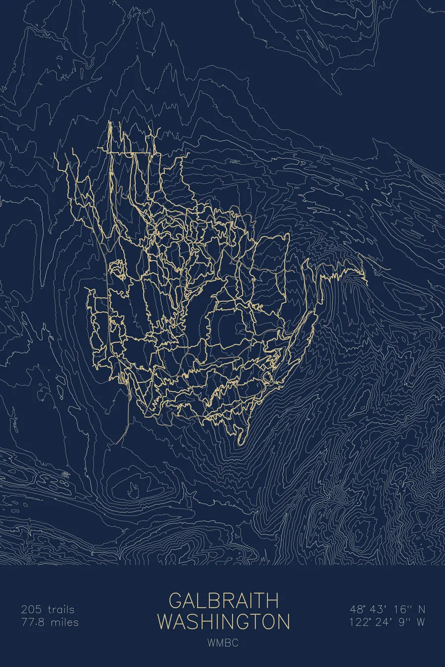
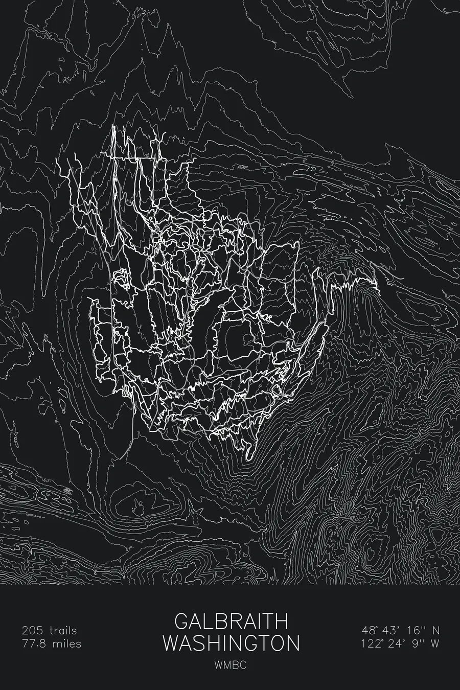
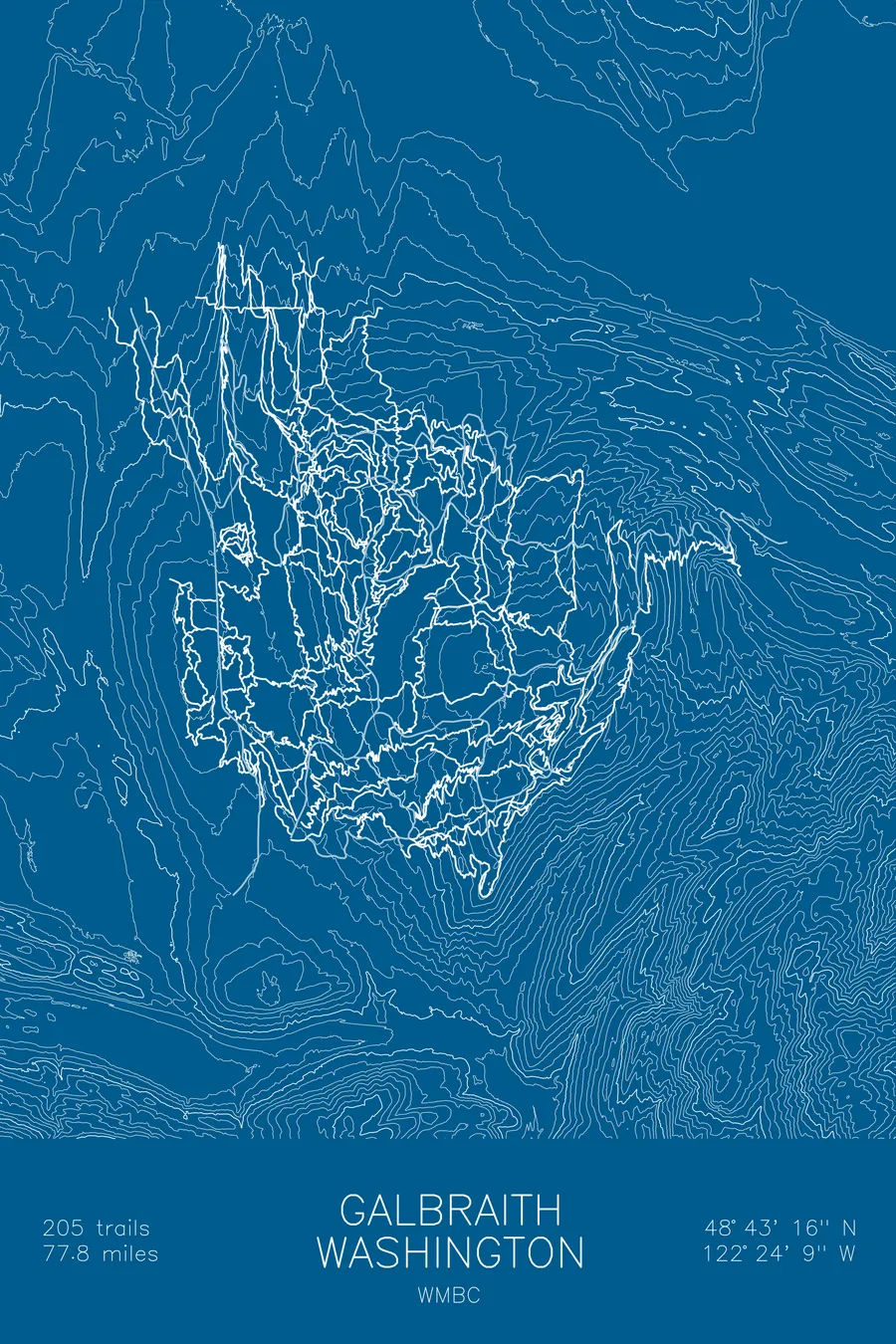
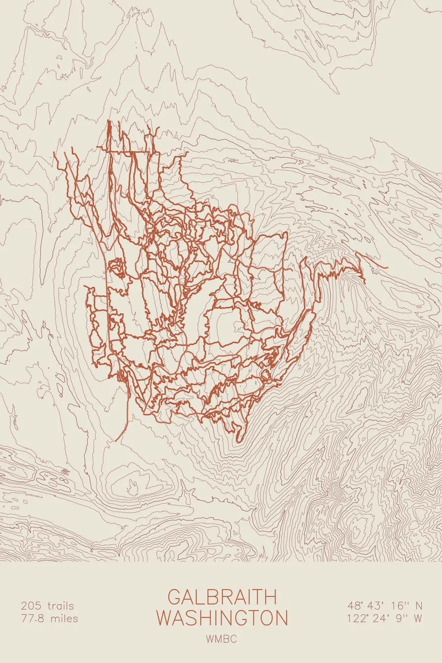
A mountain bike trail map of Galbraith, Washington, combining the trail network with the surrounding topography.
The public rides it in perpetuity; the owner still logs it.
$63
Ink & paper: Black
Size: 12×18"
+Personalize this map
+ Details
- 12 × 18 inches
- Drawn on 98 lb (160 gsm) archival cotton paper
- Precision technical pens and archival inks
- Signed and dated on the back
- Ships flat, protected, ready to frame
Each map begins with elevation data and is drawn by a pen plotter in our Vermont studio. Mechanical precision, plus the texture and small imperfections of real ink on paper.
Off the screen
In real rooms



















+ About this map
Galbraith is one of the most beloved trail networks in the Pacific Northwest, and it is also, legally and actively, a tree farm. In 2018 the City of Bellingham paid $2.75 million in Greenway funds, with another $250,000 from the Whatcom Land Trust, for easements from Galbraith Tree Farm LLC guaranteeing public recreation on up to 65 miles of trail in perpetuity. The same easements explicitly protect, preserve, and promote the owner’s commercial forestry, so the mountain with 205 trails and 77.8 miles of singletrack remains a working logging operation, and the logging company can close any part of it to cut trees.
The map traces that whole tangle through the contours. The contour lines show a long, broad ridge with trails wrapped around every flank, descents stacked shoulder to shoulder on the side above town and climbing routes threading the gentler grades. At this density the network reads almost like topography itself, which is fitting for a mountain where nearly every fall line has a trail on it.
+ Map details
- Galbraith
- Washington
- United States
- Pacific Northwest
- 2,674 ft / 815 m
- 48.7211N 122.4025W
- Mountain bike trail map
- Original pen plot, archival ink on cotton paper
- 8 × 12 in · 12 × 18 in · 18 × 24 in
- 205 trails, 77.8 miles of singletrack
More maps