Colorado
Crested Butte
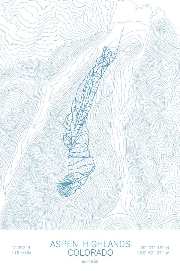
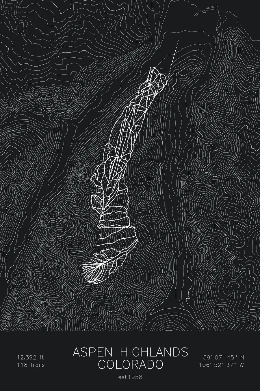
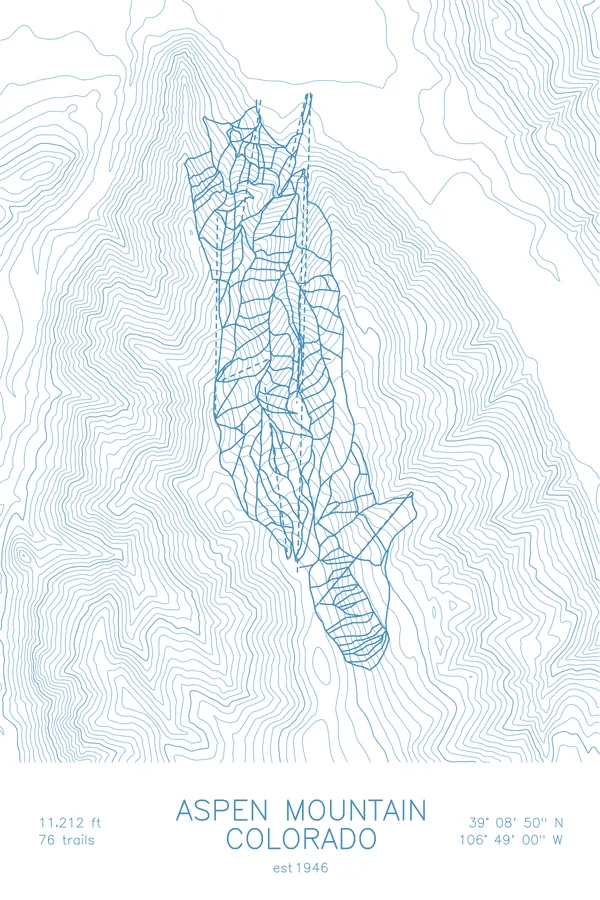
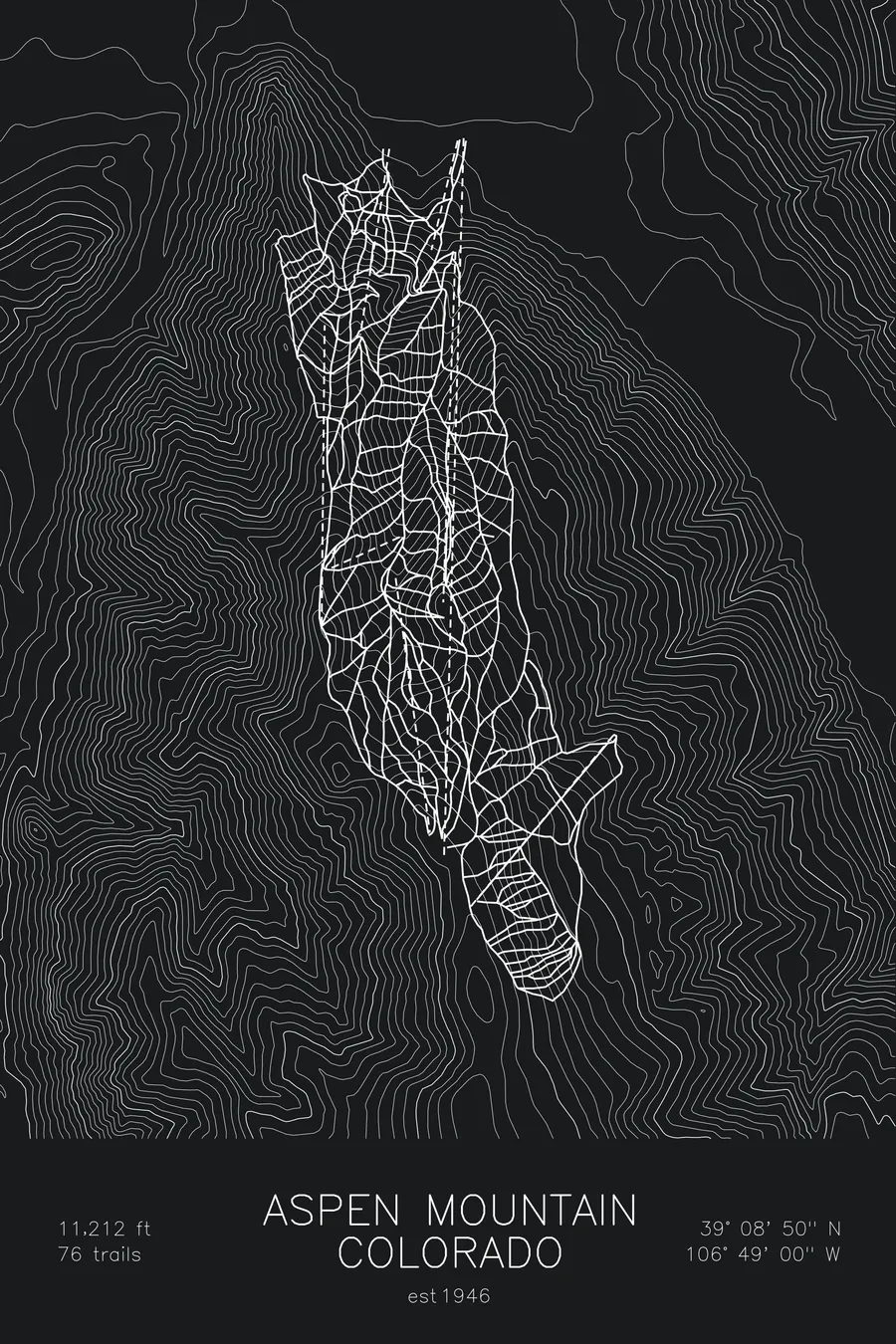
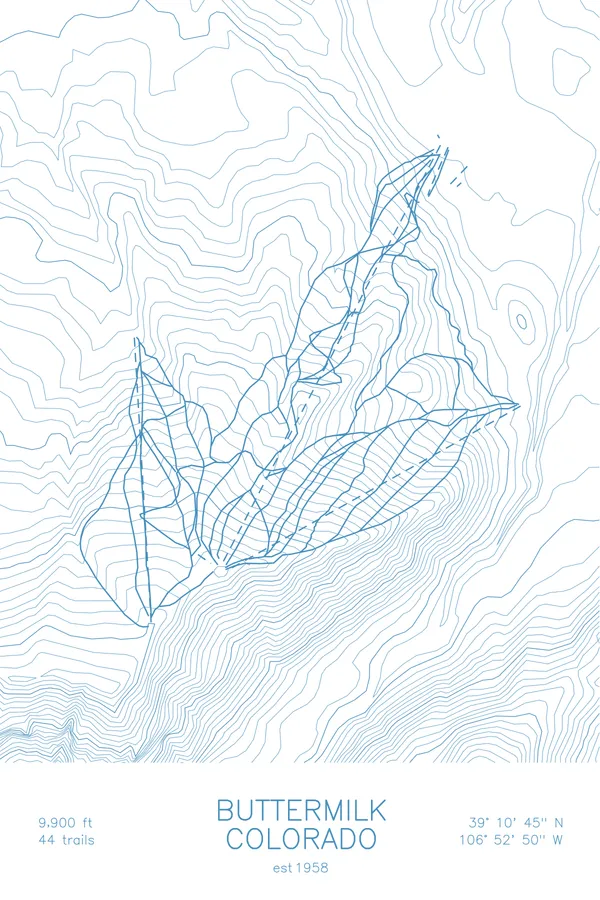
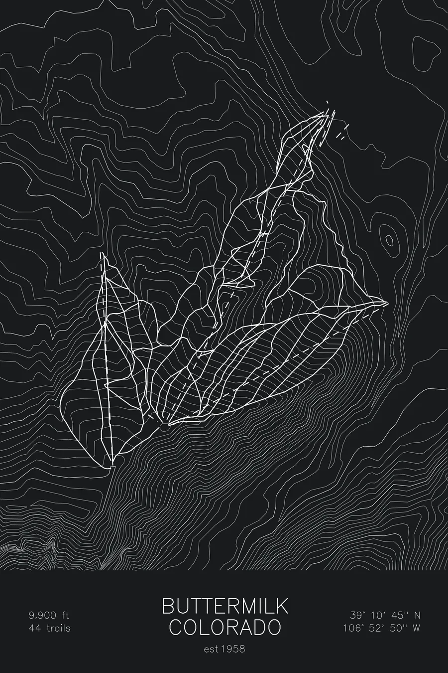
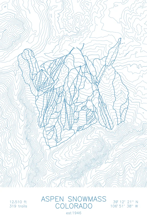
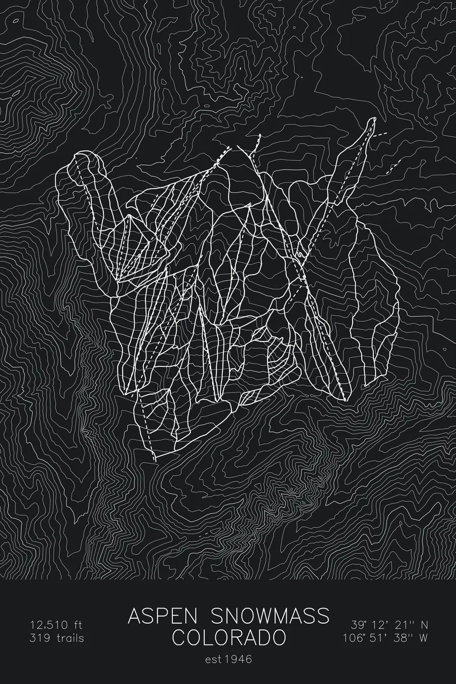
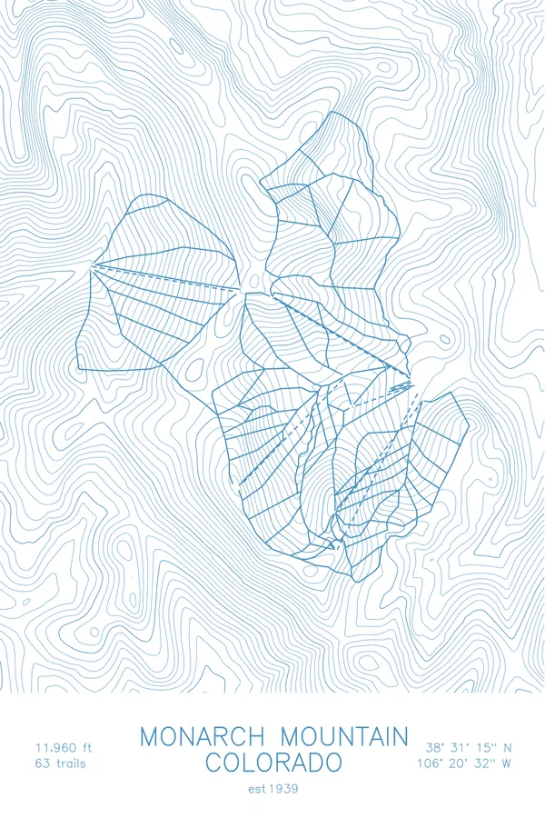
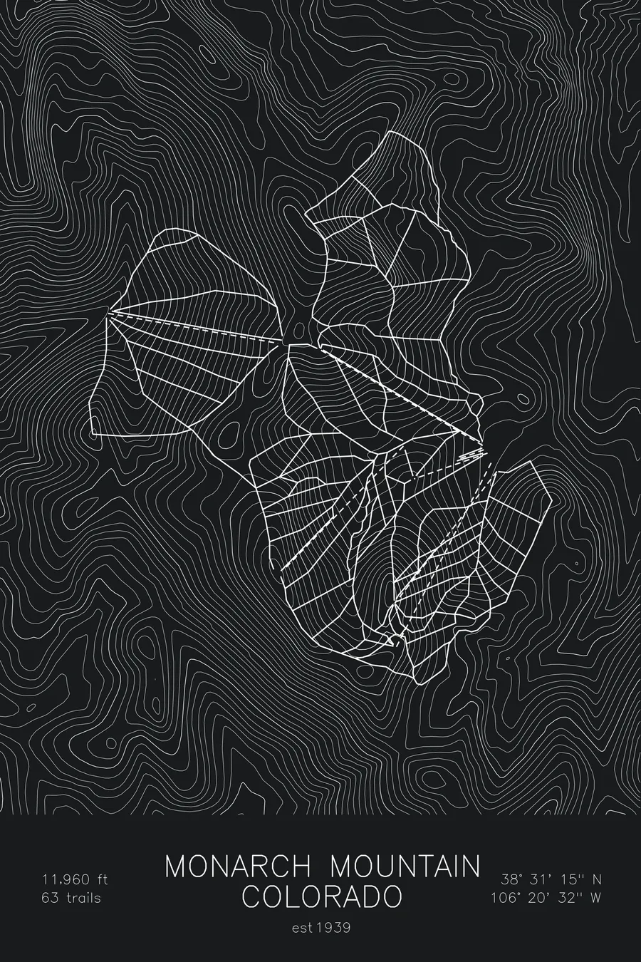
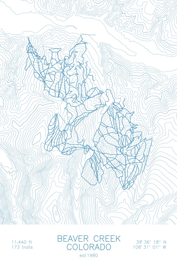
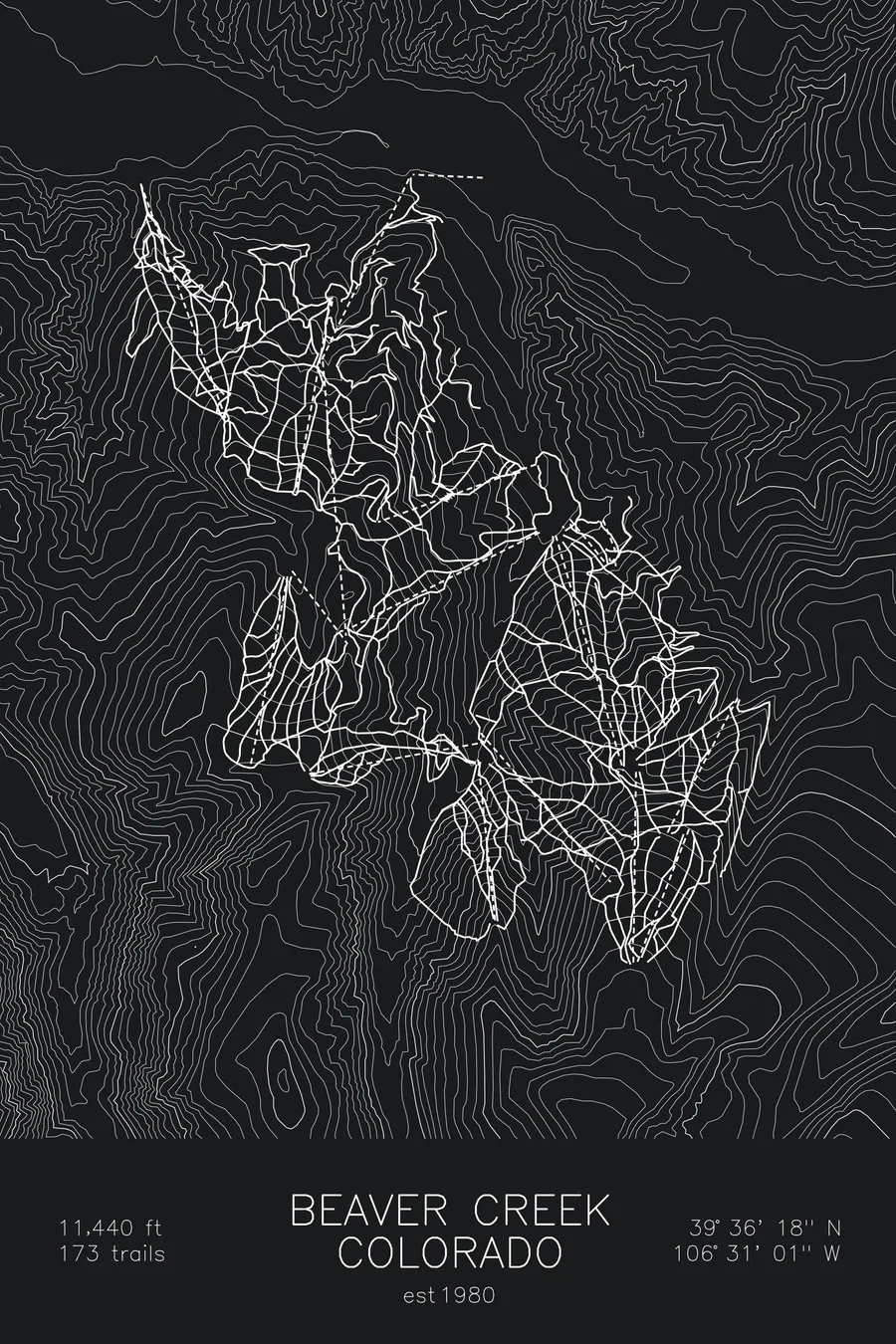
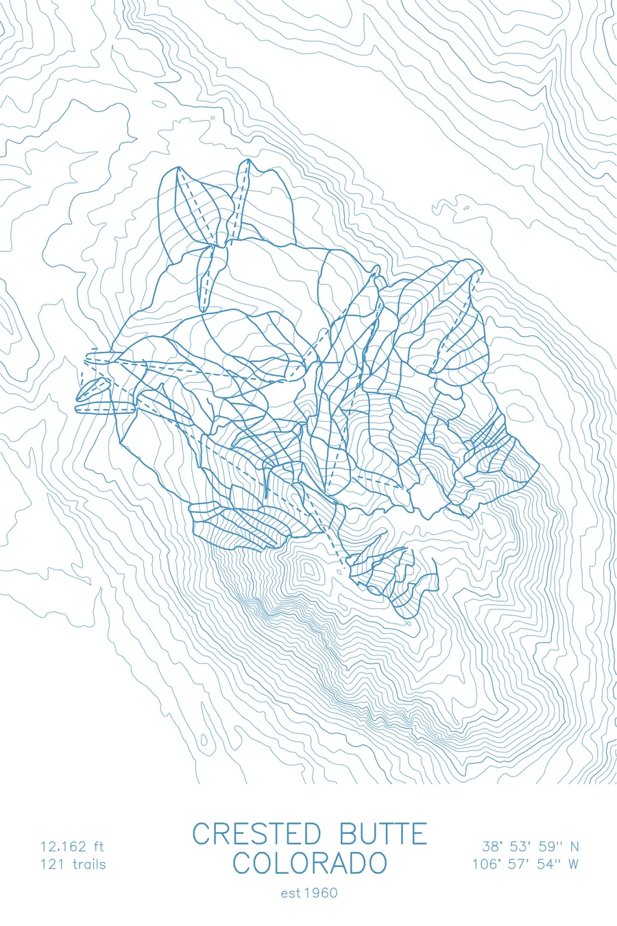
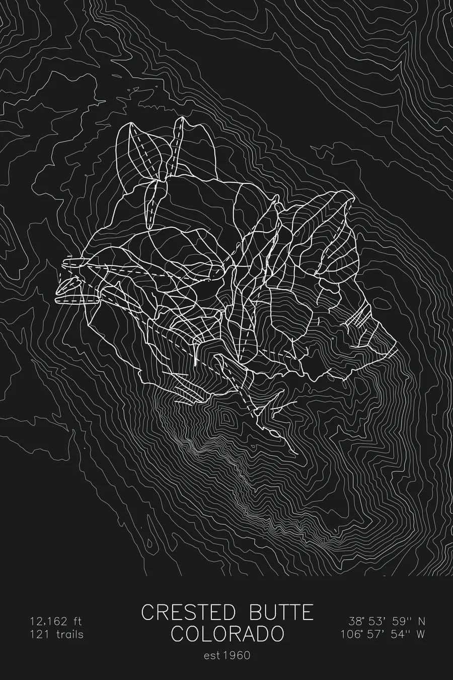
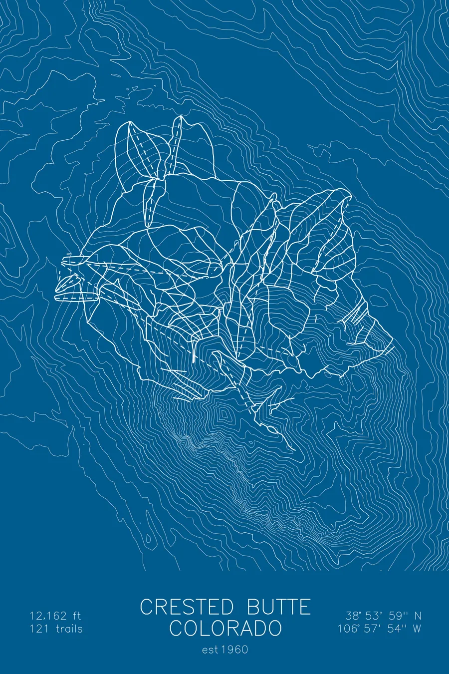
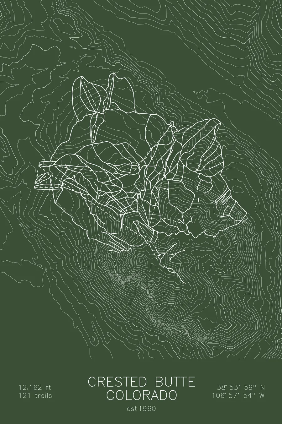
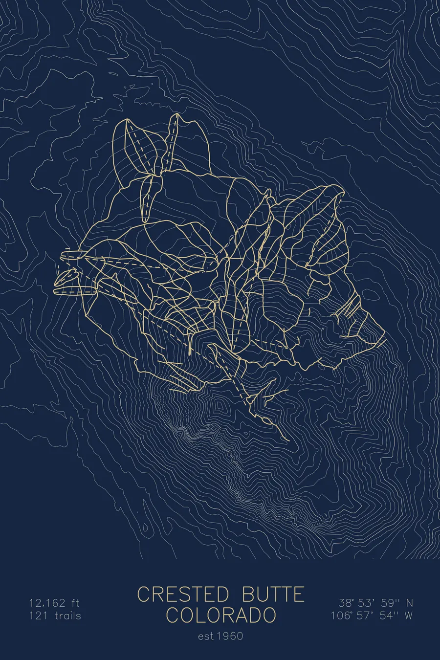
A topographic ski map of Crested Butte, Colorado, with the resort's runs and lifts drawn over real terrain in a minimalist contour-line design.
Est. 1960. 121 trails. 12,162 feet above sea level.
$63
Ink & paper: Arctic White
Size: 12×18"
+Personalize this map
+ Details
- 12 × 18 inches
- Drawn on 98 lb (160 gsm) archival cotton paper
- Precision technical pens and archival inks
- Signed and dated on the back
- Ships flat, protected, ready to frame
Each map begins with elevation data and is drawn by a pen plotter in our Vermont studio. Mechanical precision, plus the texture and small imperfections of real ink on paper.
Off the screen
In real rooms



















+ About this map
Crested Butte is a Colorado ski area known for its extreme terrain, colorful Victorian town, and remote location in the Elk Mountains. The resort helped pioneer extreme skiing in North America, and lines off the North Face and Headwall remain some of the steepest inbounds terrain in the country: rocky chutes, cliff bands, and no-fall zones that attract serious skiers from around the world.
The mountain itself is unmistakable, a lone horn-shaped peak rising over 12,000 feet above the East River valley, several hours from the nearest interstate. That isolation keeps crowds thin and the old mining town at its base genuinely funky. The contour map captures Crested Butte’s distinctive pyramid and the dramatic Elk Mountain terrain surrounding it.
+ Map details
- Crested Butte
- Colorado
- United States
- Rocky Mountains
- 12,162 ft / 3,707 m
- 38.8997N 106.9650W
- Ski resort trail map
- Original pen plot, archival ink on cotton paper
- 8 × 12 in · 12 × 18 in · 18 × 24 in
- Est. 1960. 121 trails
More maps