Vermont
Crystal Lake
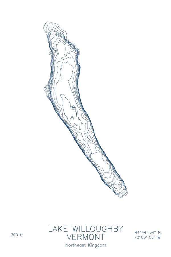
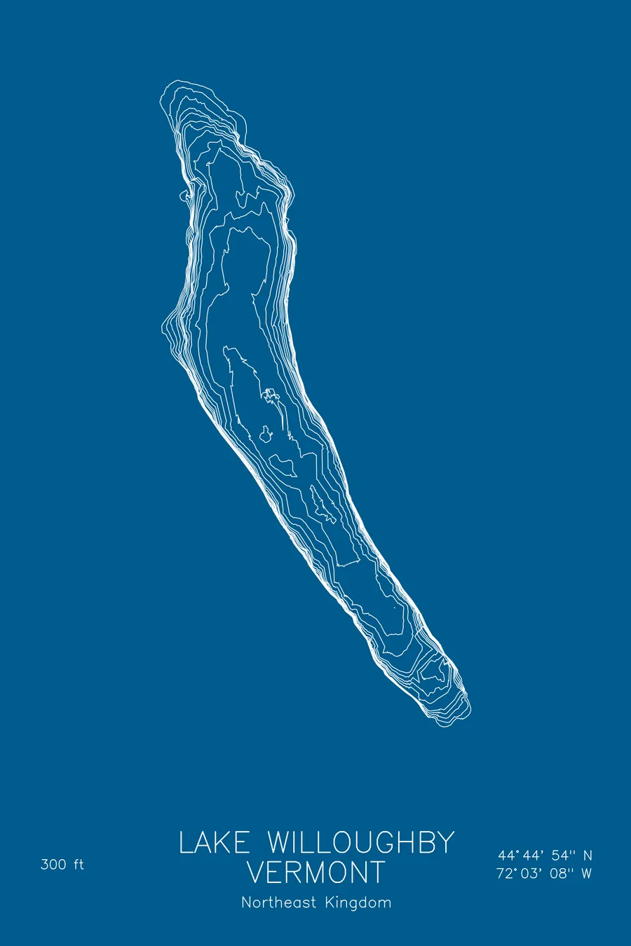
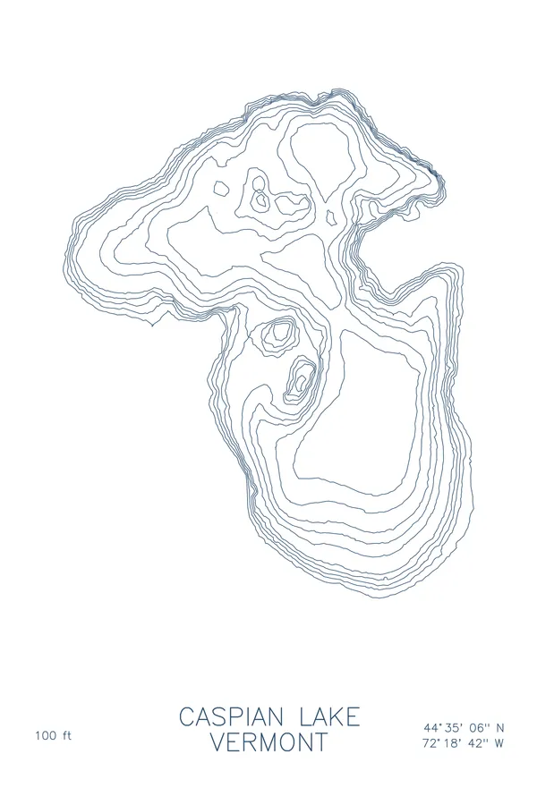
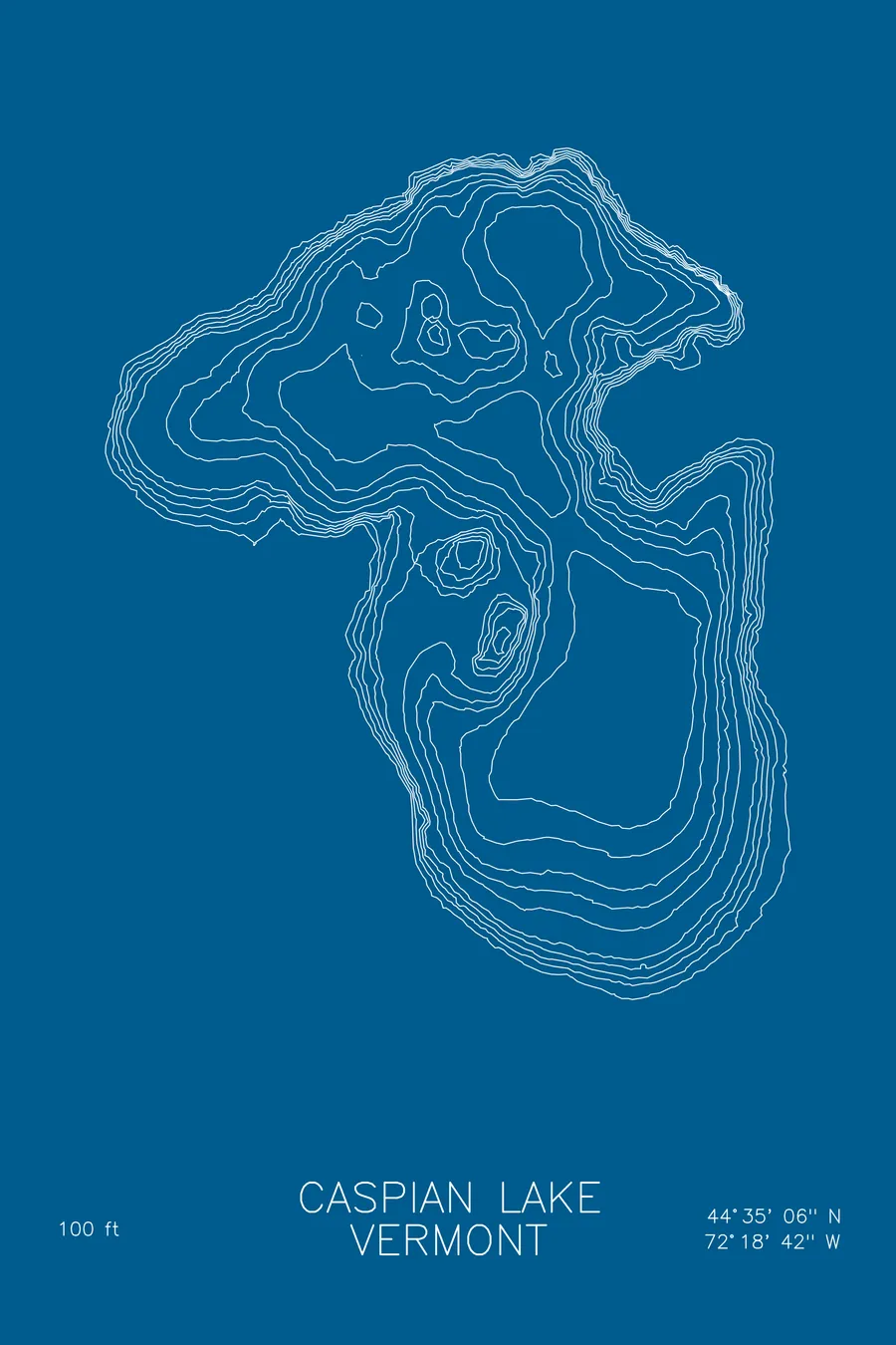
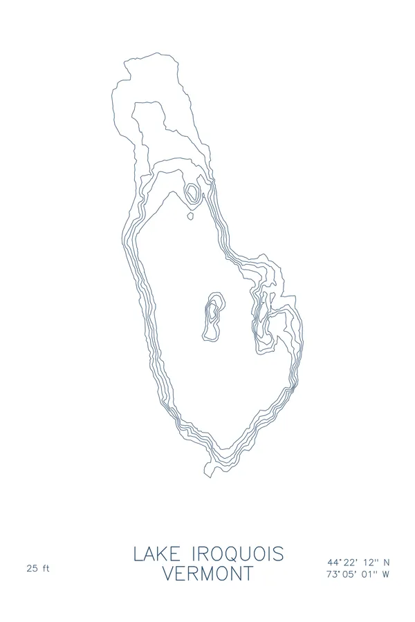
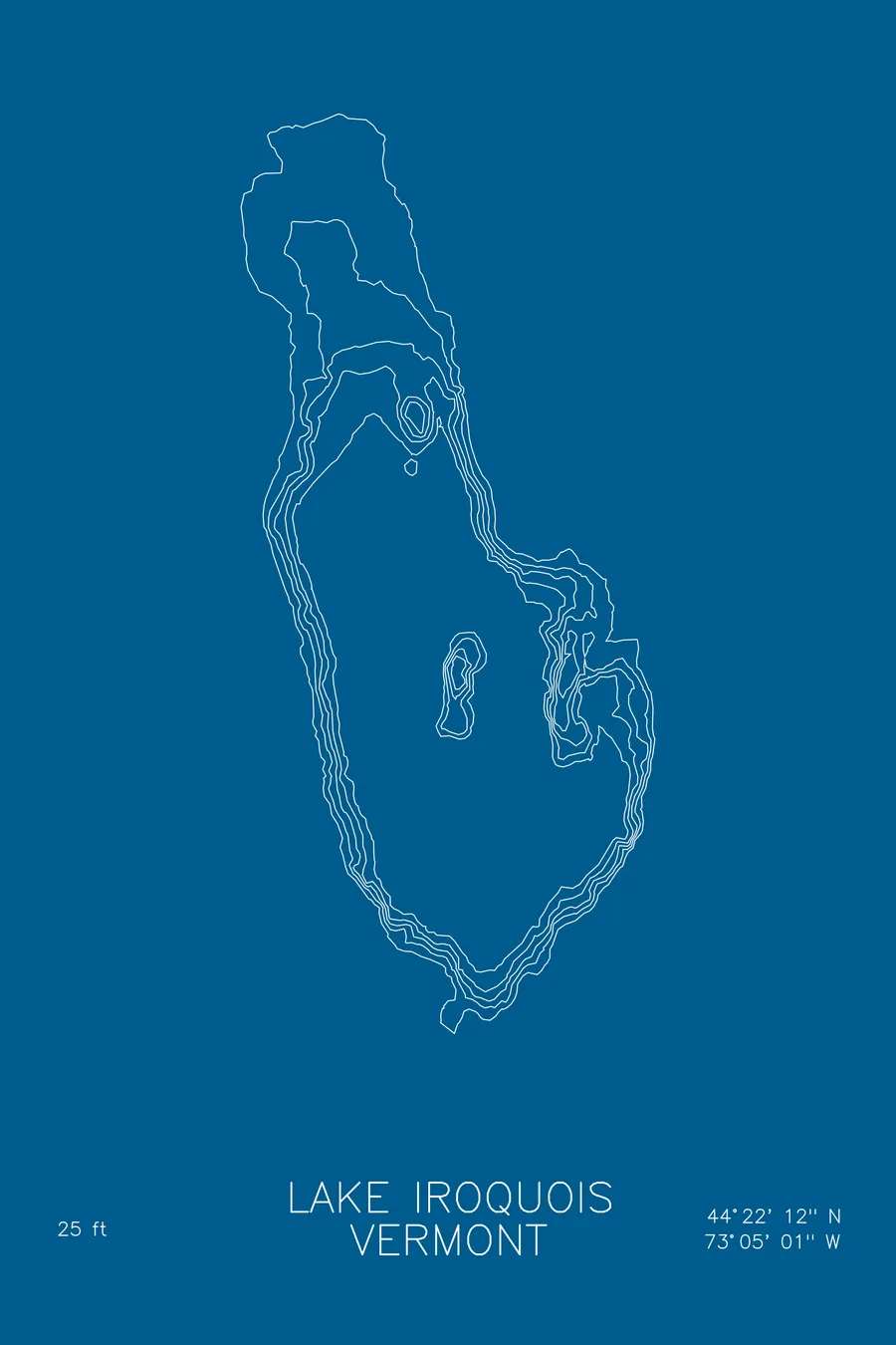
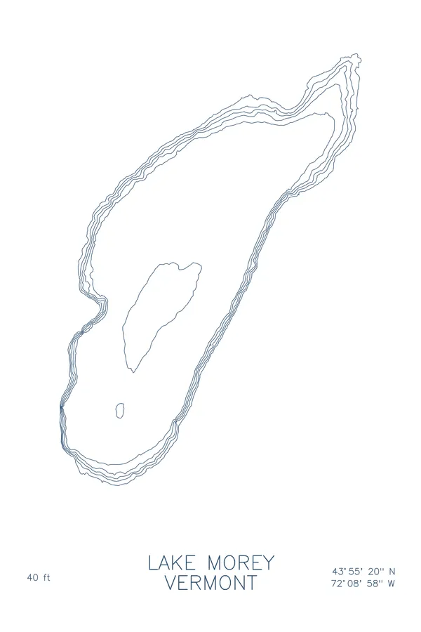
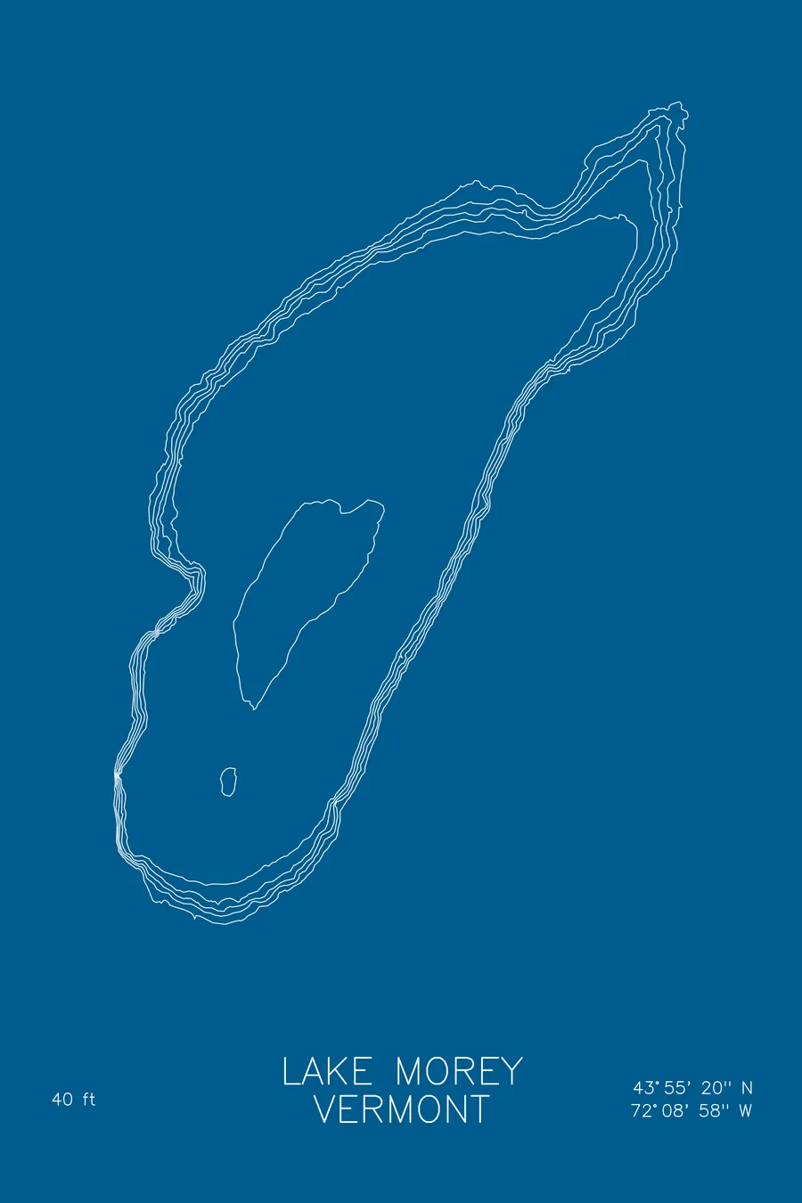
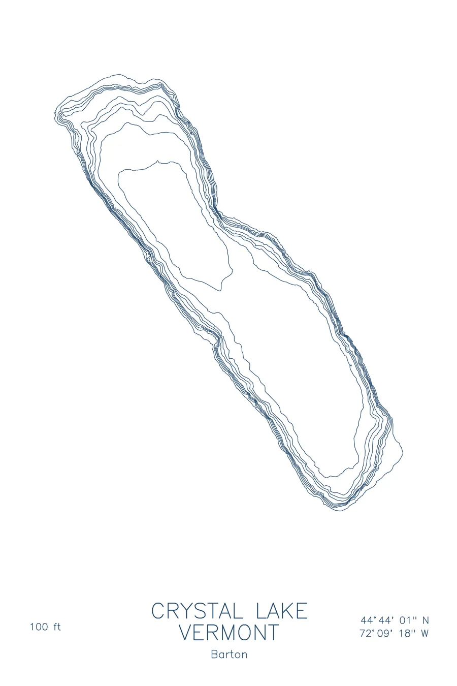
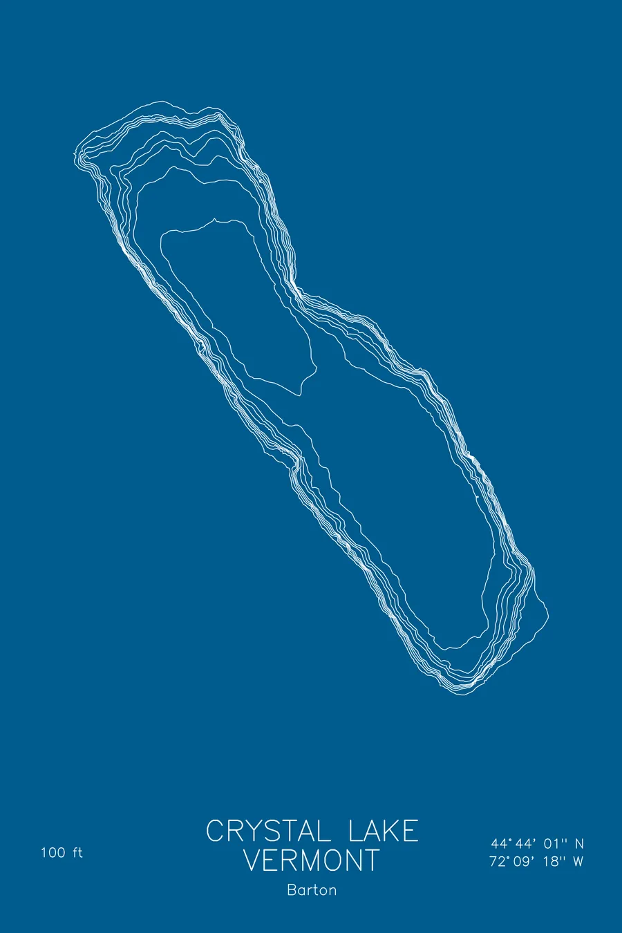
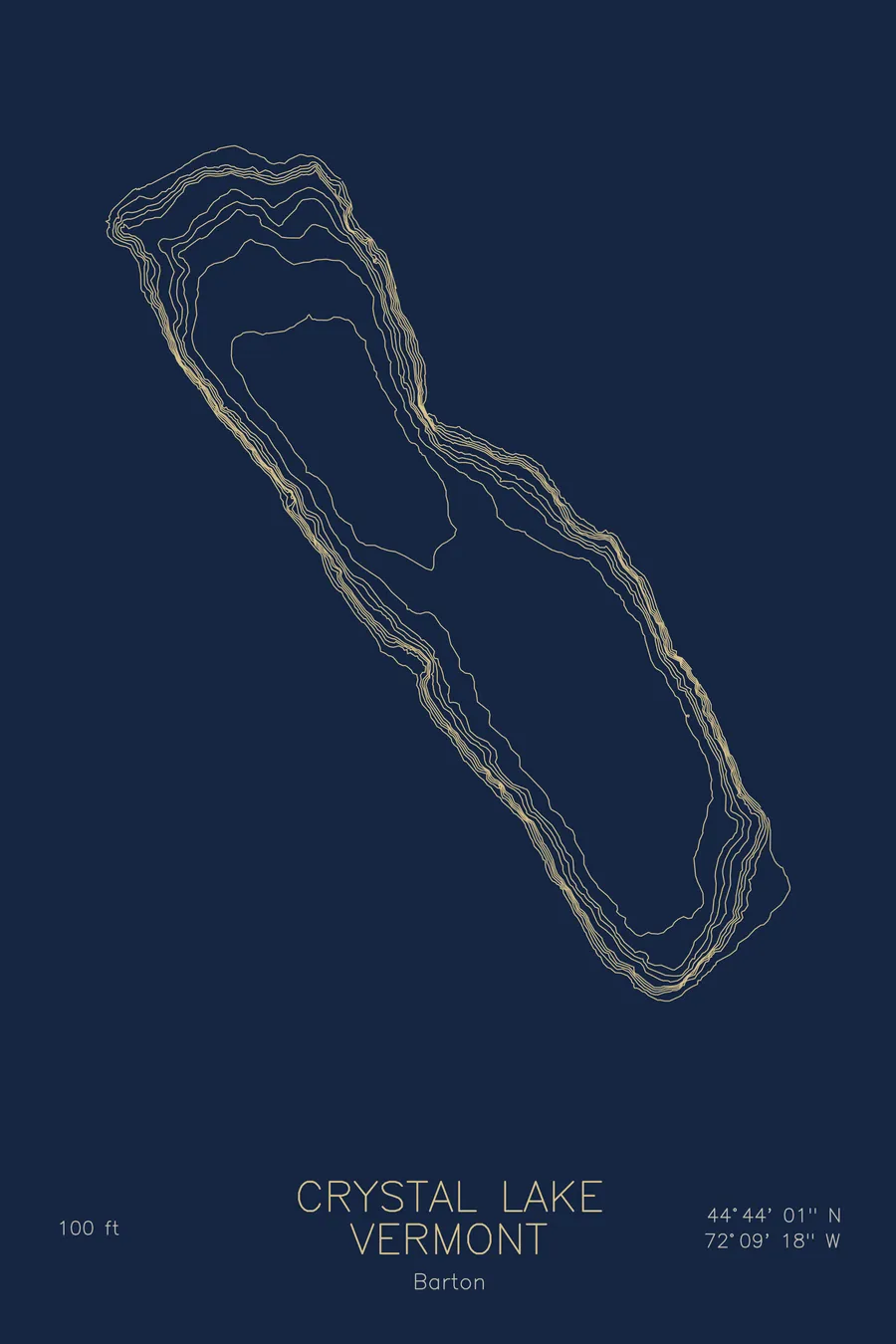
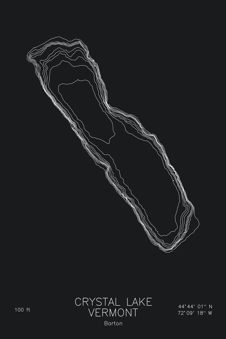
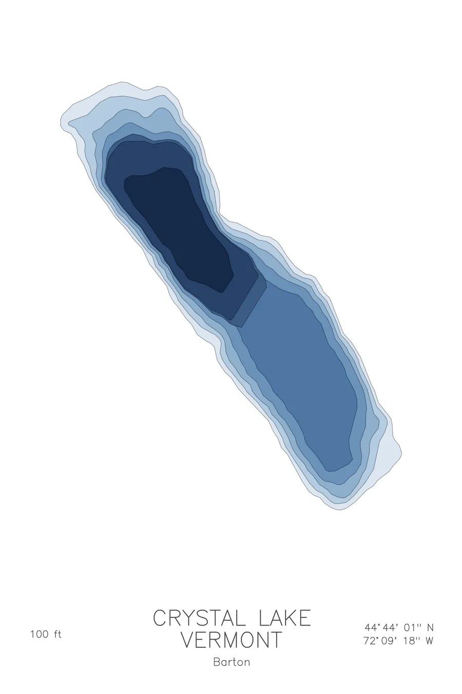
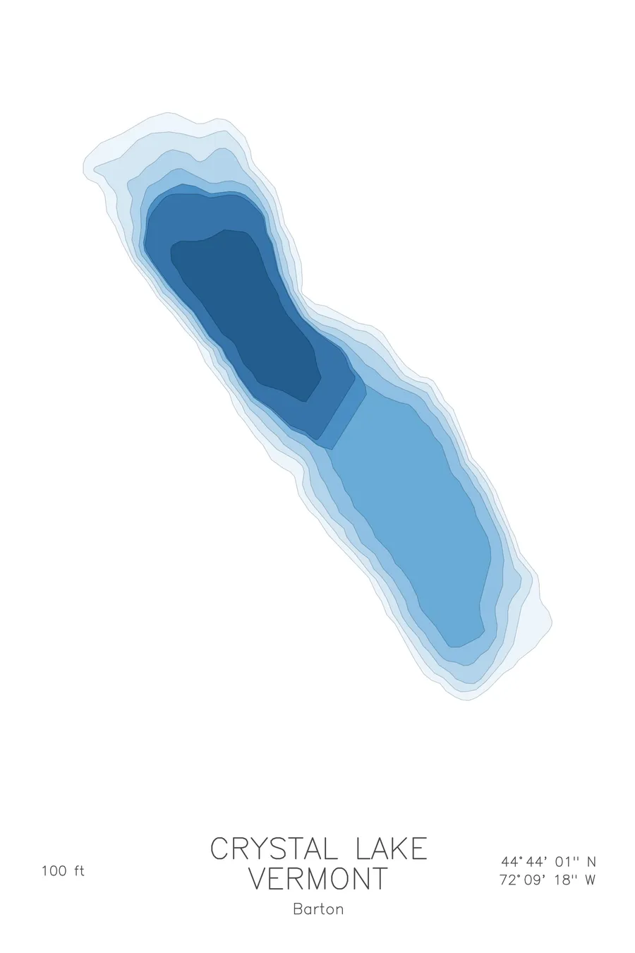
A bathymetric depth map of Crystal Lake, Vermont, drawn from real lake survey data in a minimalist contour-line design.
Max depth 100 ft.
$50
Ink & paper: Lake Blue
Size: 12×18"
+Personalize this map
+ Details
- 12 × 18 inches
- Drawn on 98 lb (160 gsm) archival cotton paper
- Precision technical pens and archival inks
- Signed and dated on the back
- Ships flat, protected, ready to frame
Each map begins with elevation data and is drawn by a pen plotter in our Vermont studio. Mechanical precision, plus the texture and small imperfections of real ink on paper.
Off the screen
In real rooms



















+ About this map
Crystal Lake lies at the edge of the village of Barton in Vermont’s Northeast Kingdom, a glacially carved lake set tightly between steep, wooded hills. Its clear water and the sandy state park beach near the village have made it a local summer landmark for generations, one of the small deep lakes that give this corner of Vermont its character.
The depth contours show the glacier’s work. From the beach the bottom shelves gently at first, then the lines pull close together along the flanks where the hillsides keep descending underwater, dropping toward a basin about 100 feet deep. The map reads as a narrow, steep-sided trough with a calm shallow apron at the village end, a compact print with more relief in it than the lake’s size would suggest.
+ Map details
- Crystal Lake
- Vermont
- United States
- New England
- 44.7335N 72.1550W
- Lake bathymetric depth map
- Original pen plot, archival ink on cotton paper
- 8 × 12 in · 12 × 18 in · 18 × 24 in
- Max depth 100 ft
More maps