North Carolina
Dupont
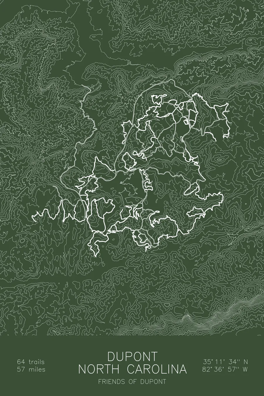
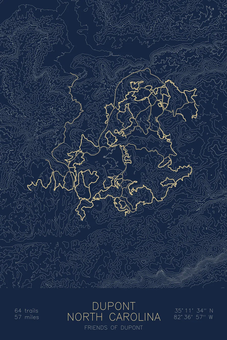
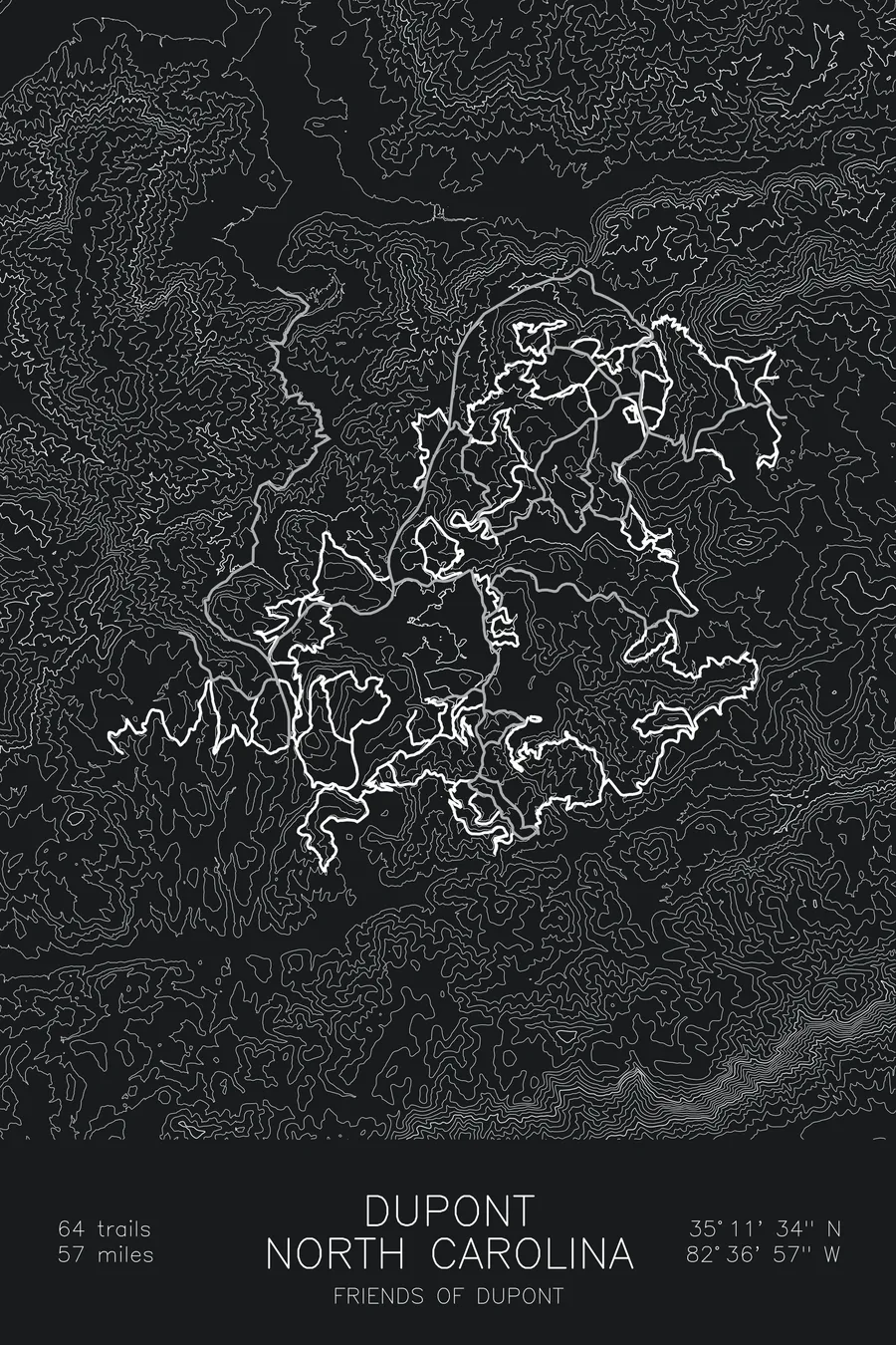
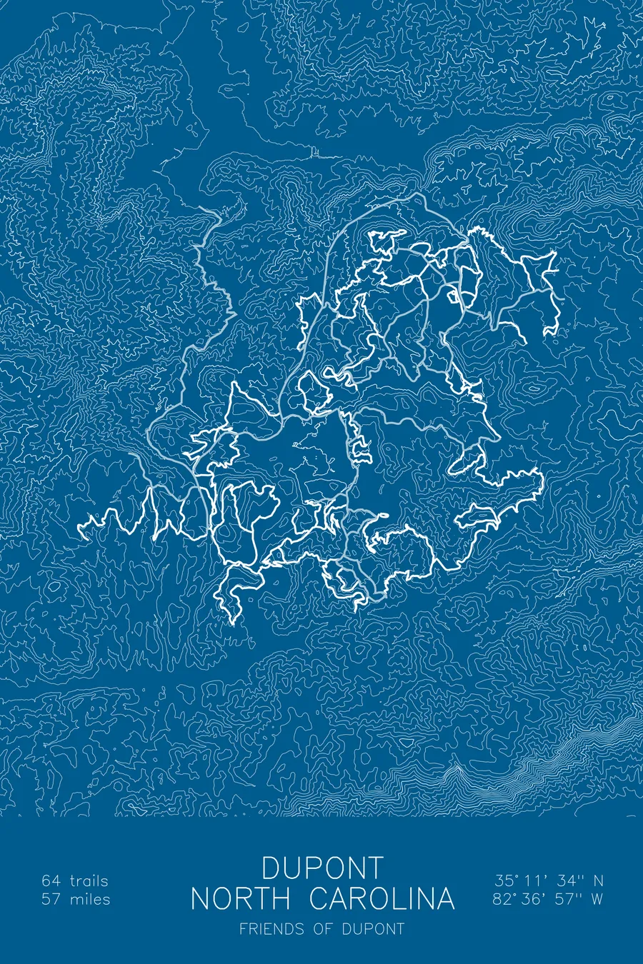
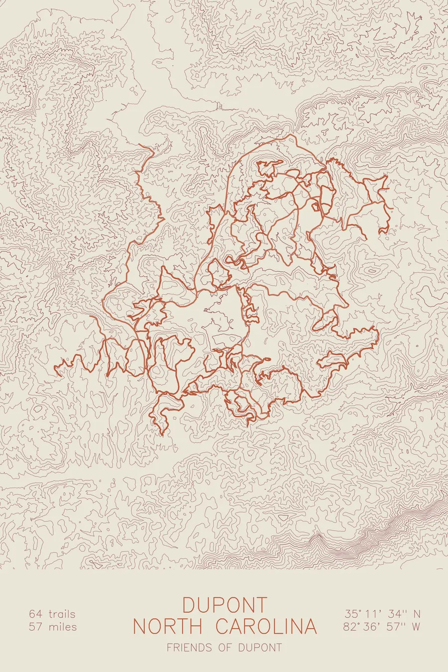
A mountain bike trail map of Dupont, North Carolina, combining the trail network with the surrounding topography.
In 2000 the state seized the waterfall tract from a developer by eminent domain.
$63
Ink & paper: Green
Size: 12×18"
+Personalize this map
+ Details
- 12 × 18 inches
- Drawn on 98 lb (160 gsm) archival cotton paper
- Precision technical pens and archival inks
- Signed and dated on the back
- Ships flat, protected, ready to frame
Each map begins with elevation data and is drawn by a pen plotter in our Vermont studio. Mechanical precision, plus the texture and small imperfections of real ink on paper.
Off the screen
In real rooms



















+ About this map
The waterfalls at the heart of DuPont were very nearly the centerpiece of a gated community. In 1999 developer Jim Anthony bought the 2,200-acre tract for $6.35 million, outbidding the Conservation Fund’s $5.5 million, and planned an upscale development arranged around the falls. On October 23, 2000, Governor Jim Hunt and the North Carolina Council of State voted unanimously to take the land by eminent domain, and the state ultimately paid about $24.5 million for it, nearly four times what the developer had spent a year earlier. The forest now holds 64 trails and 56.5 miles of singletrack, Ridgeline’s long, swooping descent among them, open to everyone.
The map traces the network through the contours of the Little River drainage. The contour lines bend around the granite domes, Cedar Rock and Big Rock among them, and crowd together where the river cuts down past the falls. You can follow Ridgeline’s namesake spine across the print and see how the trails string the domes, drainages, and lake basins into one connected forest.
+ Map details
- Dupont
- North Carolina
- United States
- Appalachian Mountains
- 3,686 ft / 1,123 m
- 35.1928N 82.6158W
- Mountain bike trail map
- Original pen plot, archival ink on cotton paper
- 8 × 12 in · 12 × 18 in · 18 × 24 in
- 64 trails, 56.5 miles of singletrack
More maps