Tennessee / North Carolina
Great Smoky Mountains National Park
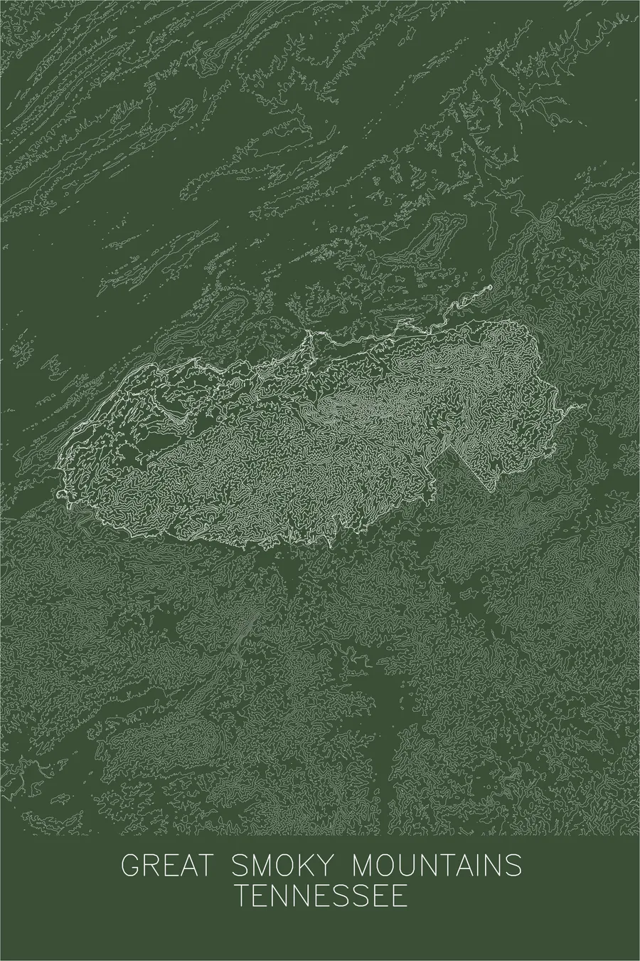
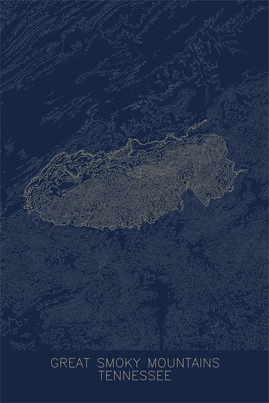
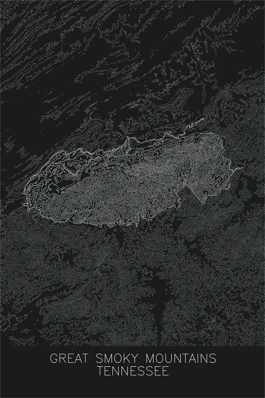
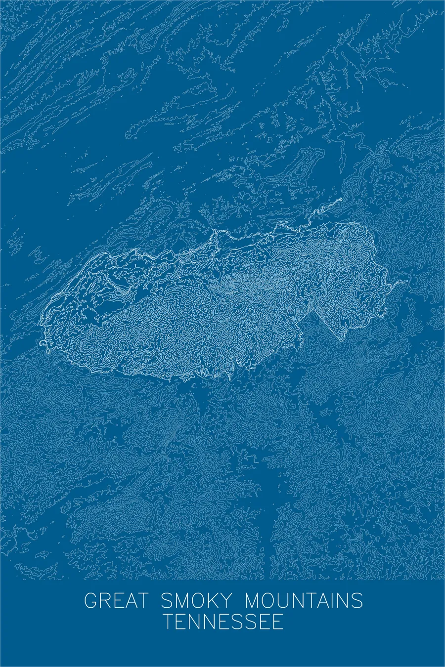
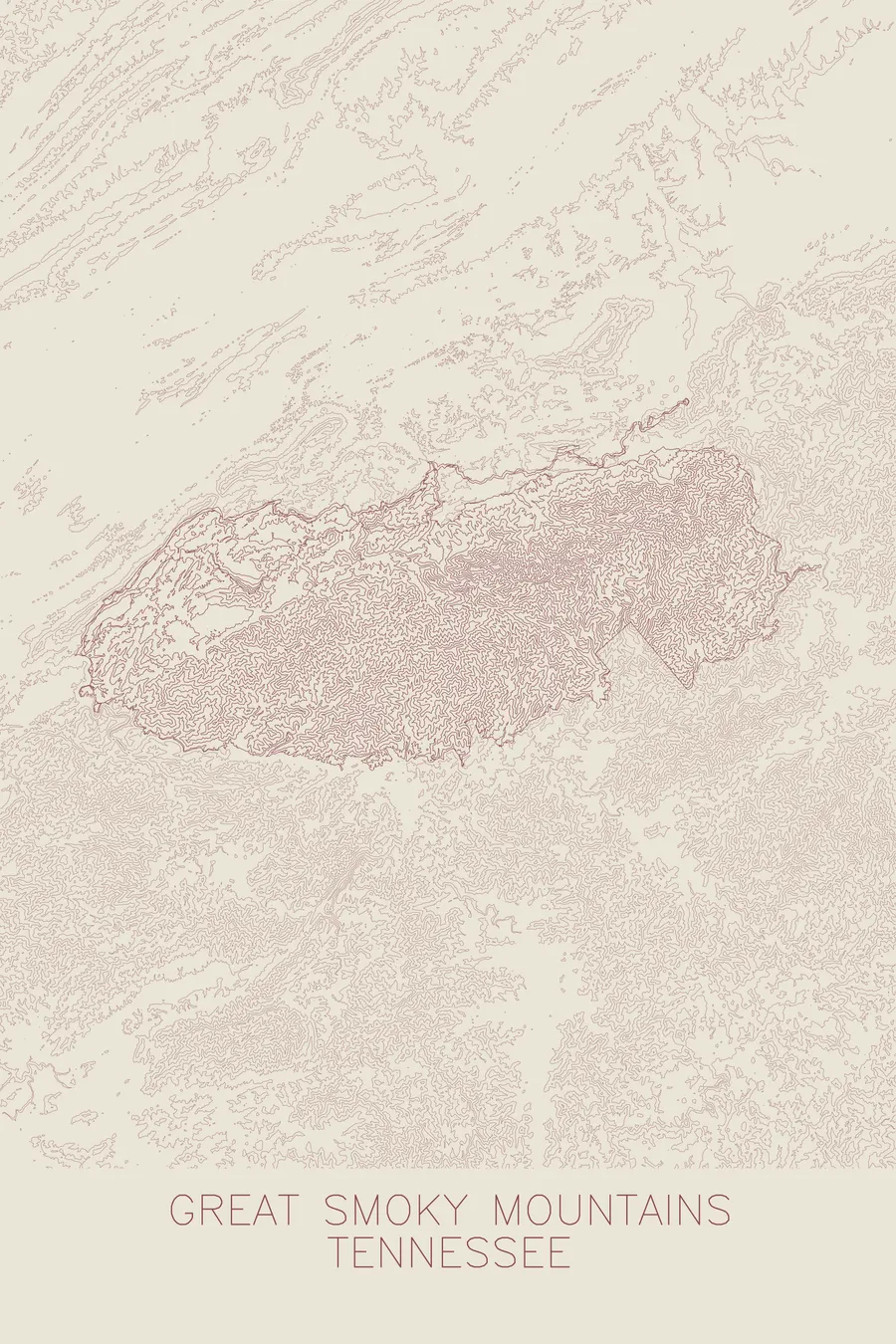
A pen-plotted topographic map of Great Smoky Mountains National Park, Tennessee / North Carolina, drawn from real elevation contour data.
Entrance has always been free; the road deed says it must stay that way.
$54
Ink & paper: Blue
+Personalize this map
+ Details
- 12 × 18 inches
- Drawn on 98 lb (160 gsm) archival cotton paper
- Precision technical pens and archival inks
- Signed and dated on the back
- Ships flat, protected, ready to frame
Each map begins with elevation data and is drawn by a pen plotter in our Vermont studio. Mechanical precision, plus the texture and small imperfections of real ink on paper.
Off the screen
In real rooms



















+ About this map
America’s most visited national park has never charged an entrance fee, and it is not allowed to start. Tennessee’s deed transferring Newfound Gap Road to the federal government, formalized in 1951, includes a clause that “no toll or license fee shall ever be imposed” to travel the road; the state wanted to protect interstate travel through the mountains. The land itself, unlike the western parks carved from federal holdings, had to be bought piecemeal from private owners, with funds that ranged from pennies donated by more than 4,500 schoolchildren, over $1,000 in all, to the $5 million John D. Rockefeller Jr. gave in memory of his mother.
The map reads as a study in texture. Rather than isolated peaks, the contour lines form long, continuous ridgelines running along the state boundary, with the crest linking Clingmans Dome to summits like Mount Le Conte and Mount Guyot. Between the ridges, the lines fold into an intricate network of stream-cut hollows and coves, including the broad, level floor of Cades Cove, a landscape shaped entirely by water rather than ice.
+ Map details
- Great Smoky Mountains National Park
- Tennessee / North Carolina
- United States
- Appalachian Mountains
- 6,643 ft / 2,025 m
- 35.6118N 83.5494W
- National park topographic map
- Original pen plot, archival ink on cotton paper
- 12 × 18 in
- America's most visited national park
More maps