Maine
Katahdin
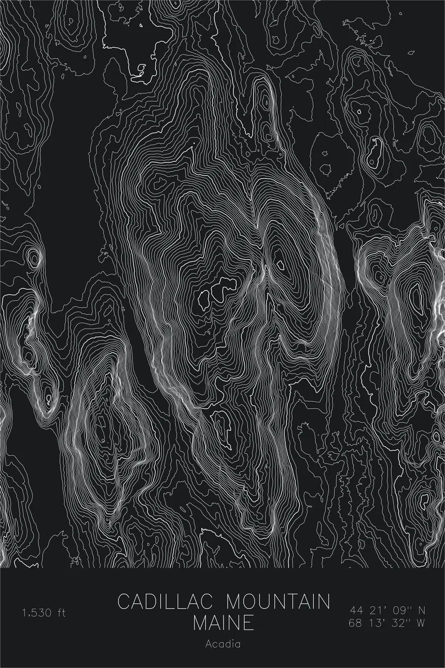
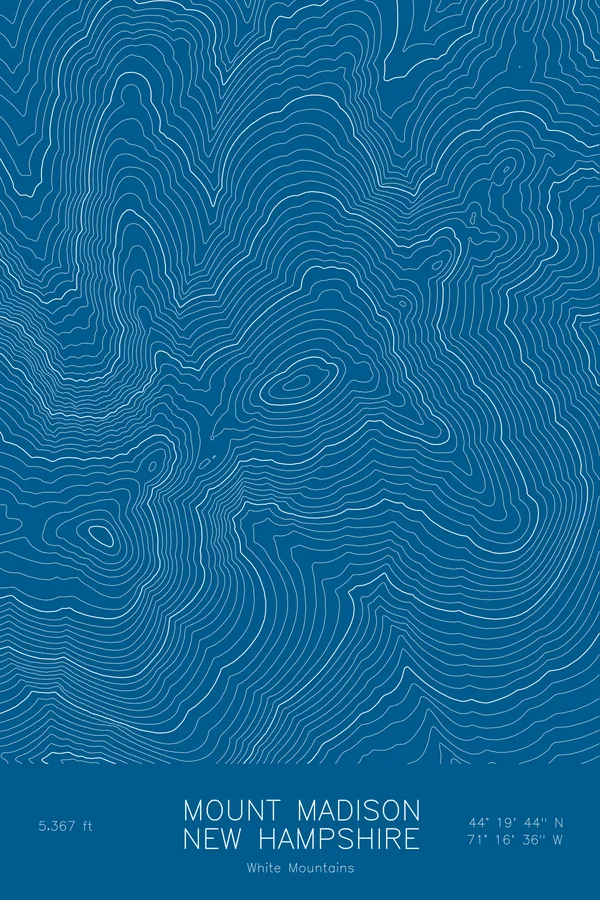
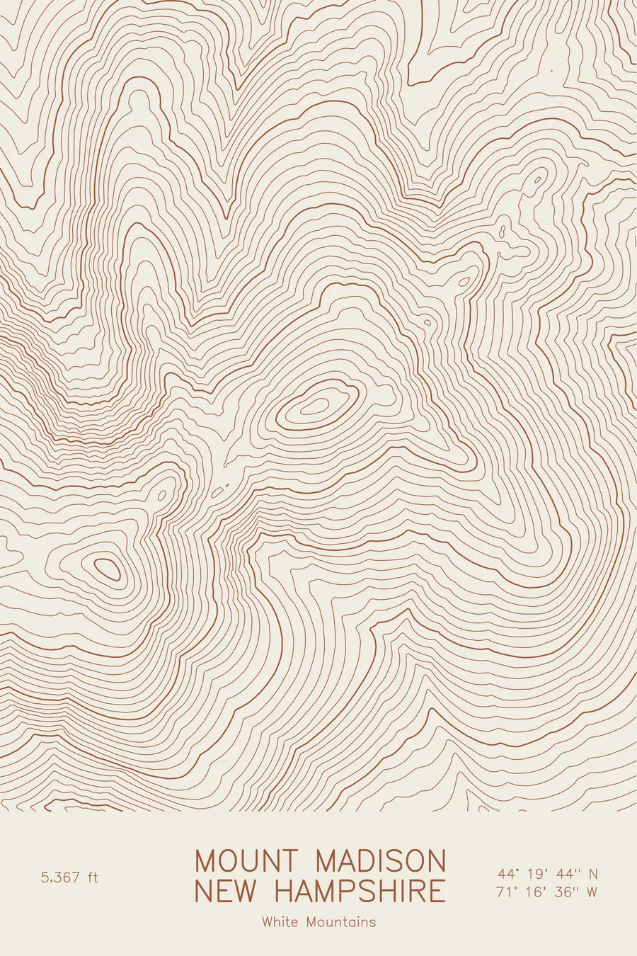
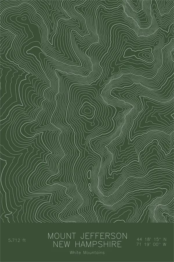
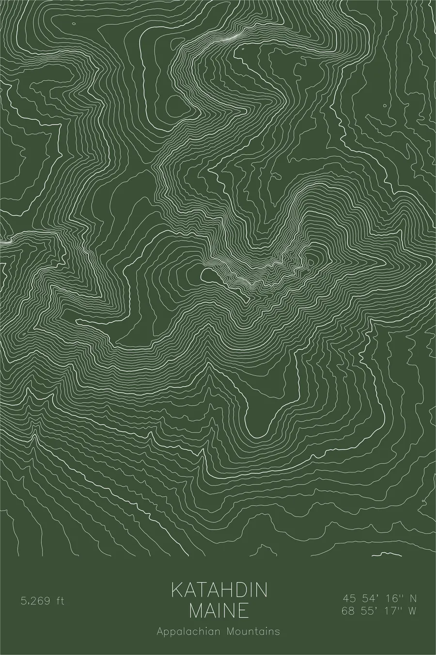
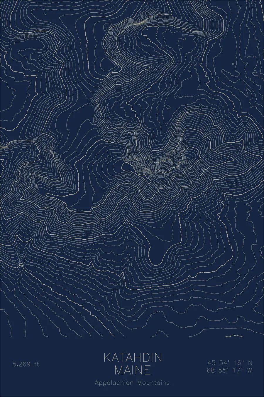
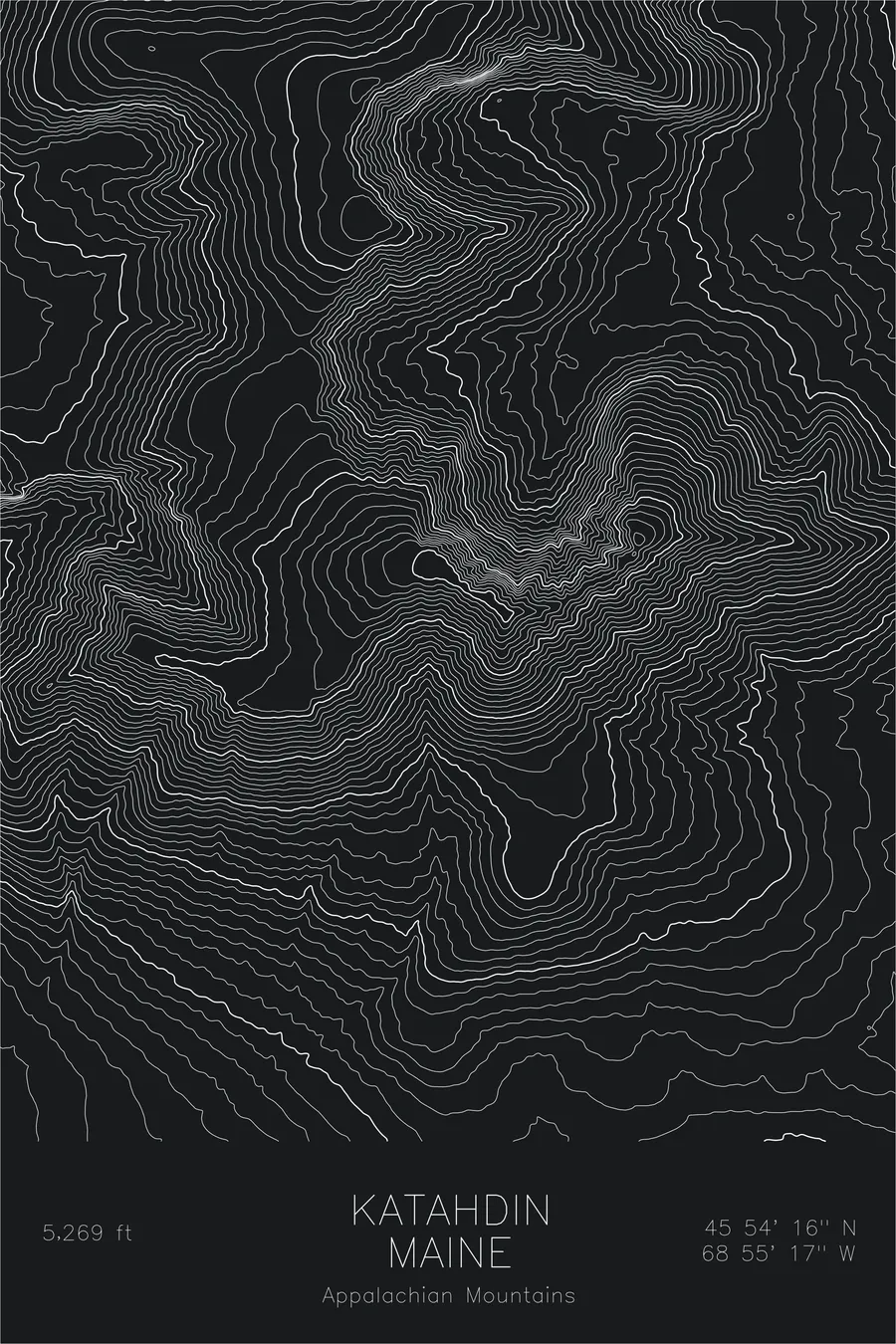
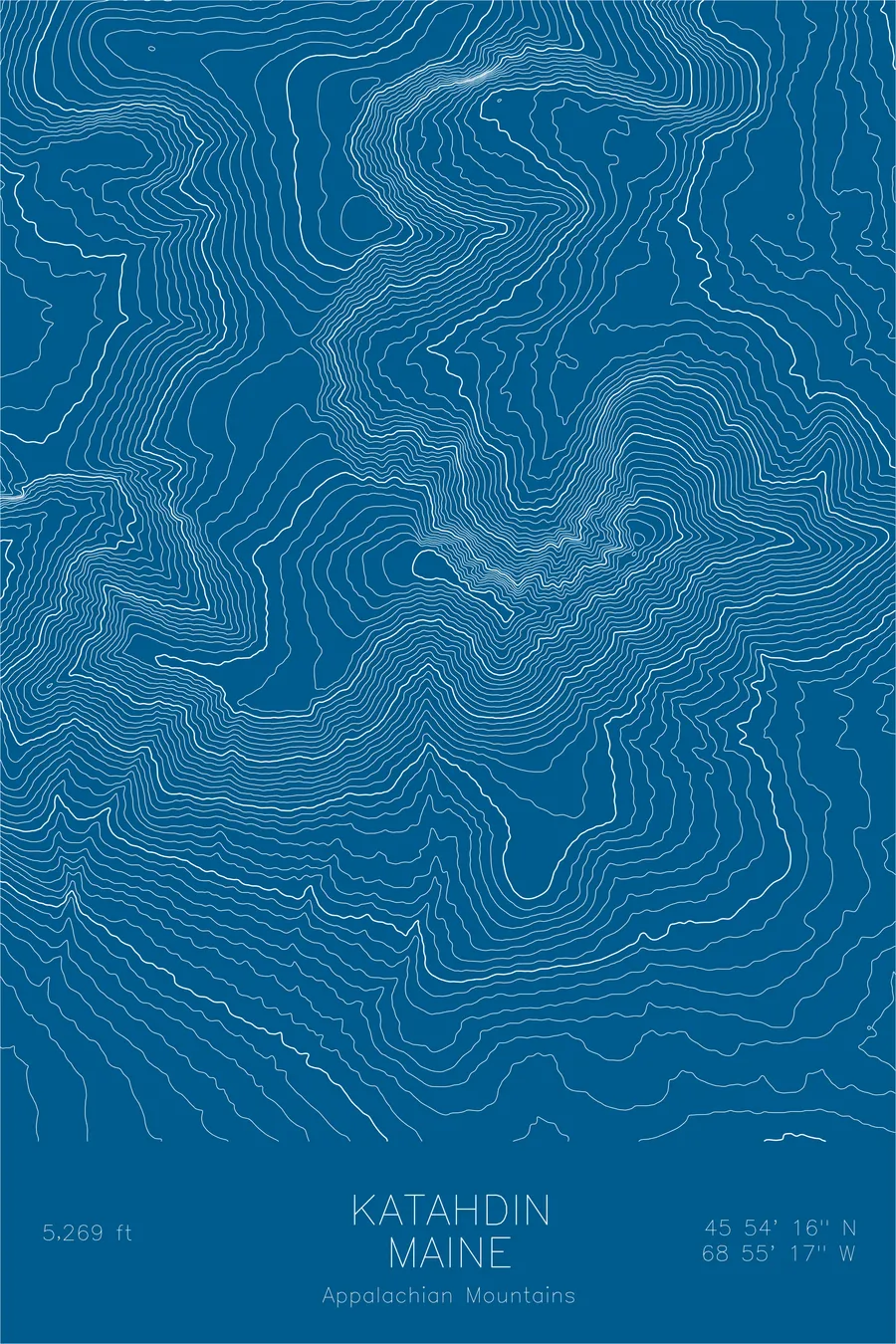
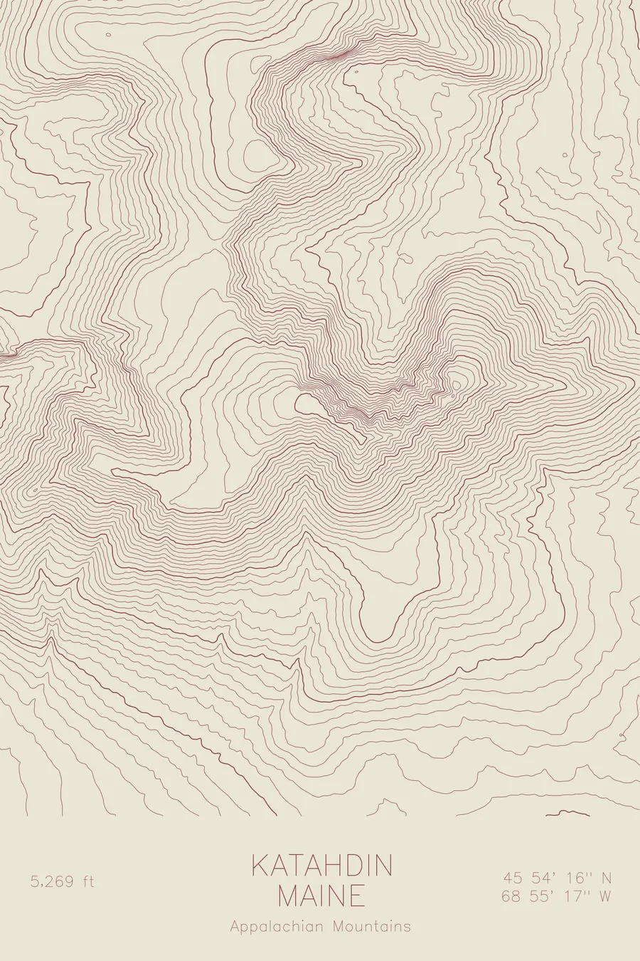
A pen-plotted topographic map of Katahdin in the Appalachian Mountains, Maine, drawn from real elevation contour data.
Northern terminus of the Appalachian Trail. 5,269 feet above sea level.
$54
Ink & paper: Green
Size: 12×18"
+Personalize this map
+ Details
- 12 × 18 inches
- Drawn on 98 lb (160 gsm) archival cotton paper
- Precision technical pens and archival inks
- Signed and dated on the back
- Ships flat, protected, ready to frame
Each map begins with elevation data and is drawn by a pen plotter in our Vermont studio. Mechanical precision, plus the texture and small imperfections of real ink on paper.
Off the screen
In real rooms



















+ About this map
Katahdin rises 5,269 feet above the lakes and forests of central Maine, the highest point in the state and the northern terminus of the Appalachian Trail. The Penobscot people named it Katahdin, meaning greatest mountain, and it stands alone: no comparable summit interrupts the low country around it, so the massif dominates the horizon for miles in every direction. Thru-hikers finish a walk of more than 2,000 miles from Georgia on its summit.
This map captures the full sweep of the Katahdin massif. The contour lines trace the glacial cirques carved into its flanks, including the Great Basin below Chimney Pond, and the broad Tableland plateau that spreads west of the summit. The tight banding along the Knife Edge shows the narrow arête connecting Baxter Peak to Pamola Peak, while the wider spacing at the mountain’s base records how abruptly the terrain rises from the surrounding lowlands.
+ Map details
- Katahdin
- Maine
- United States
- Appalachian Mountains
- Appalachian Mountains
- 5,269 ft / 1,606 m
- 45.9044N 68.9214W
- Mountain topographic map
- Original pen plot, archival ink on cotton paper
- 8 × 12 in · 12 × 18 in · 18 × 24 in
- Northern terminus of the Appalachian Trail
More maps