Vermont
Echo Lake
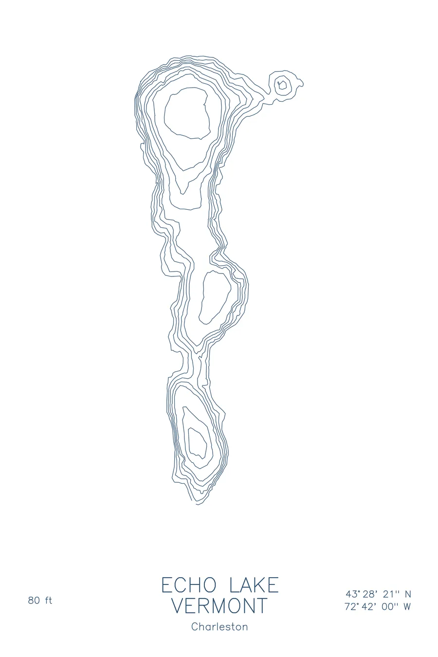
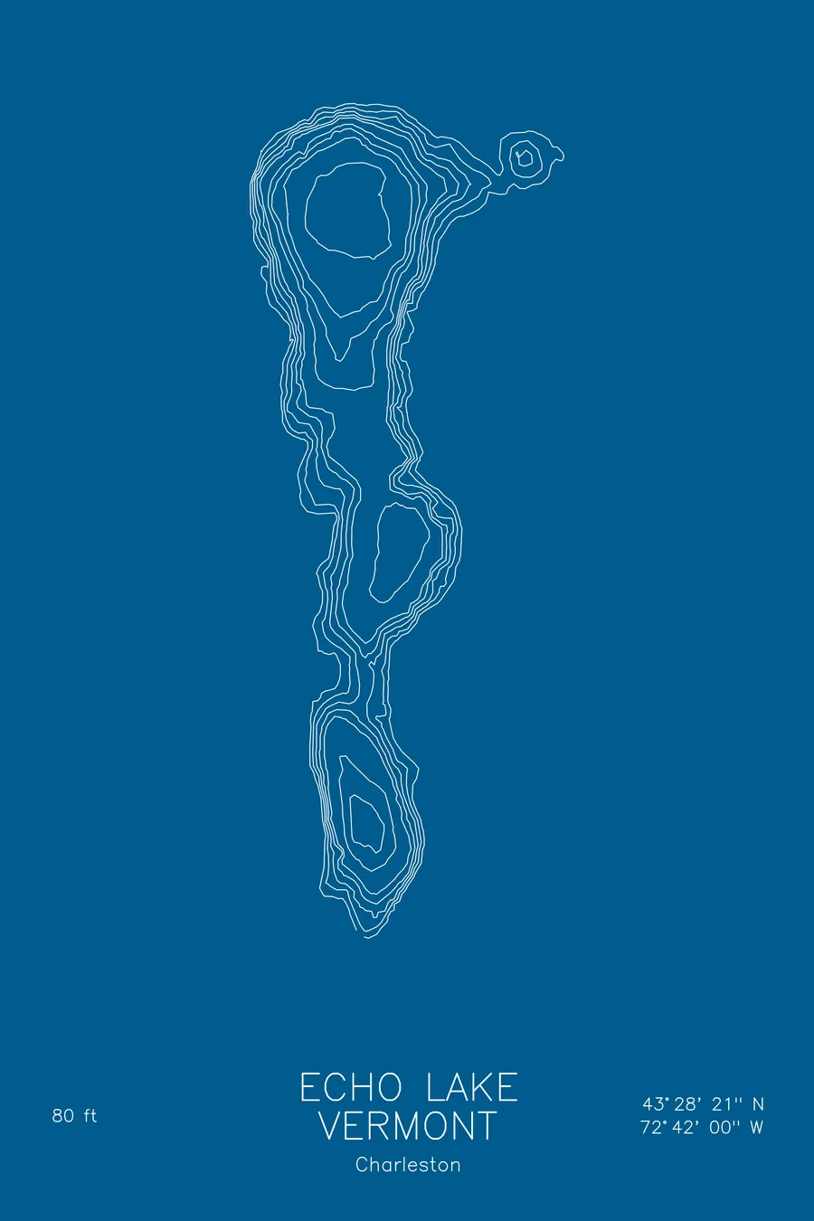
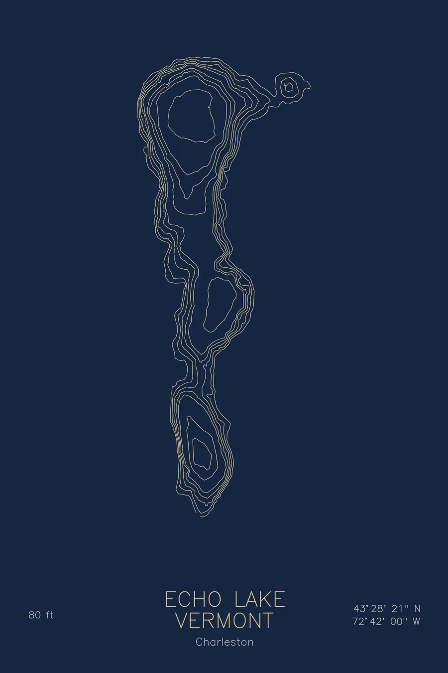
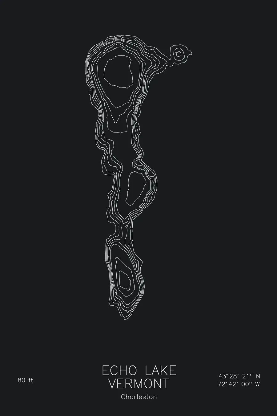
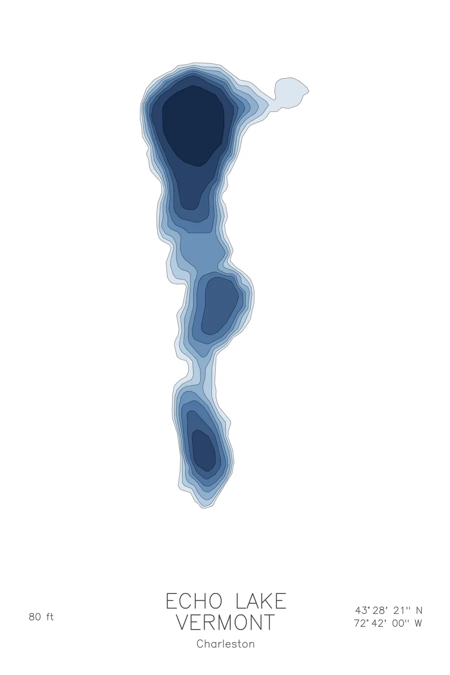
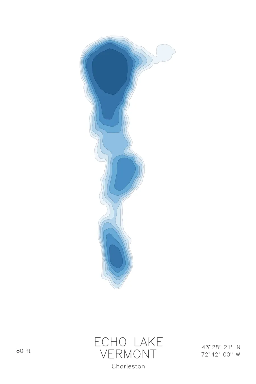
A bathymetric depth map of Echo Lake, Vermont, drawn from real lake survey data in a minimalist contour-line design.
Max depth 80 ft.
$50
Ink & paper: Lake Blue
Size: 12×18"
+Personalize this map
+ Details
- 12 × 18 inches
- Drawn on 98 lb (160 gsm) archival cotton paper
- Precision technical pens and archival inks
- Signed and dated on the back
- Ships flat, protected, ready to frame
Each map begins with elevation data and is drawn by a pen plotter in our Vermont studio. Mechanical precision, plus the texture and small imperfections of real ink on paper.
Off the screen
In real rooms



















+ About this map
Echo Lake is a quiet glacial lake in Charleston, in Vermont’s Northeast Kingdom, the kind of small, clear, cold-water lake the state’s ice-age landscape produces in abundance. Camps sit back among the trees along its shore, and the water stays calm enough most mornings to carry a paddler’s voice across, which is roughly how lakes like this earn the name.
The depth contours give the lake more presence than its acreage. The lines step down briskly from much of the shoreline, gathering toward a basin about 80 feet deep, with narrow shallow margins rather than broad flats. The map shows a simple, deep bowl drawn in close-set rings, a compact print that rewards a second look the way the lake itself rewards a slow lap around its shore.
+ Map details
- Echo Lake
- Vermont
- United States
- New England
- 44.8842N 71.9803W
- Lake bathymetric depth map
- Original pen plot, archival ink on cotton paper
- 8 × 12 in · 12 × 18 in · 18 × 24 in
- Max depth 80 ft
More maps