Colorado
Eldora
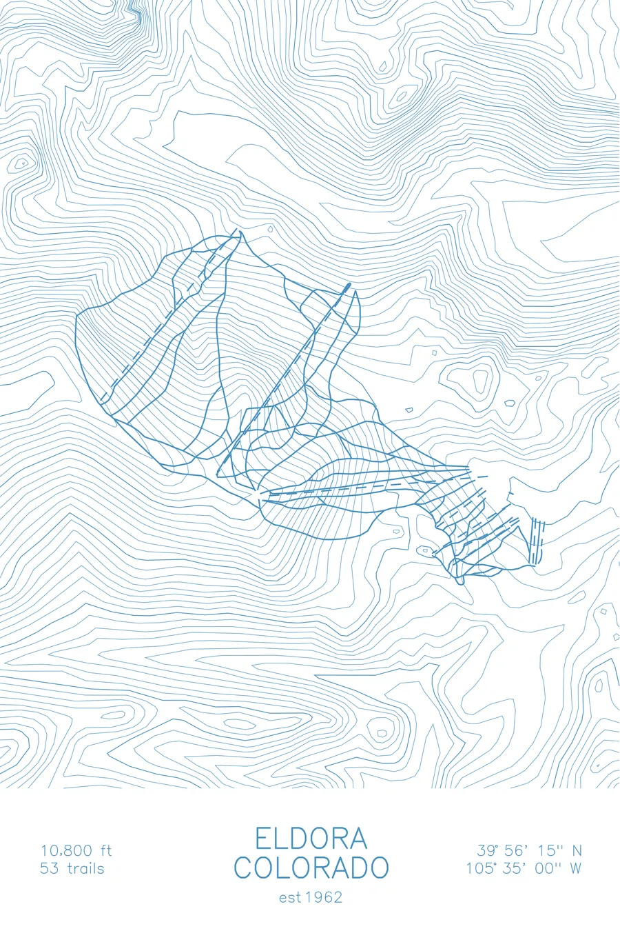
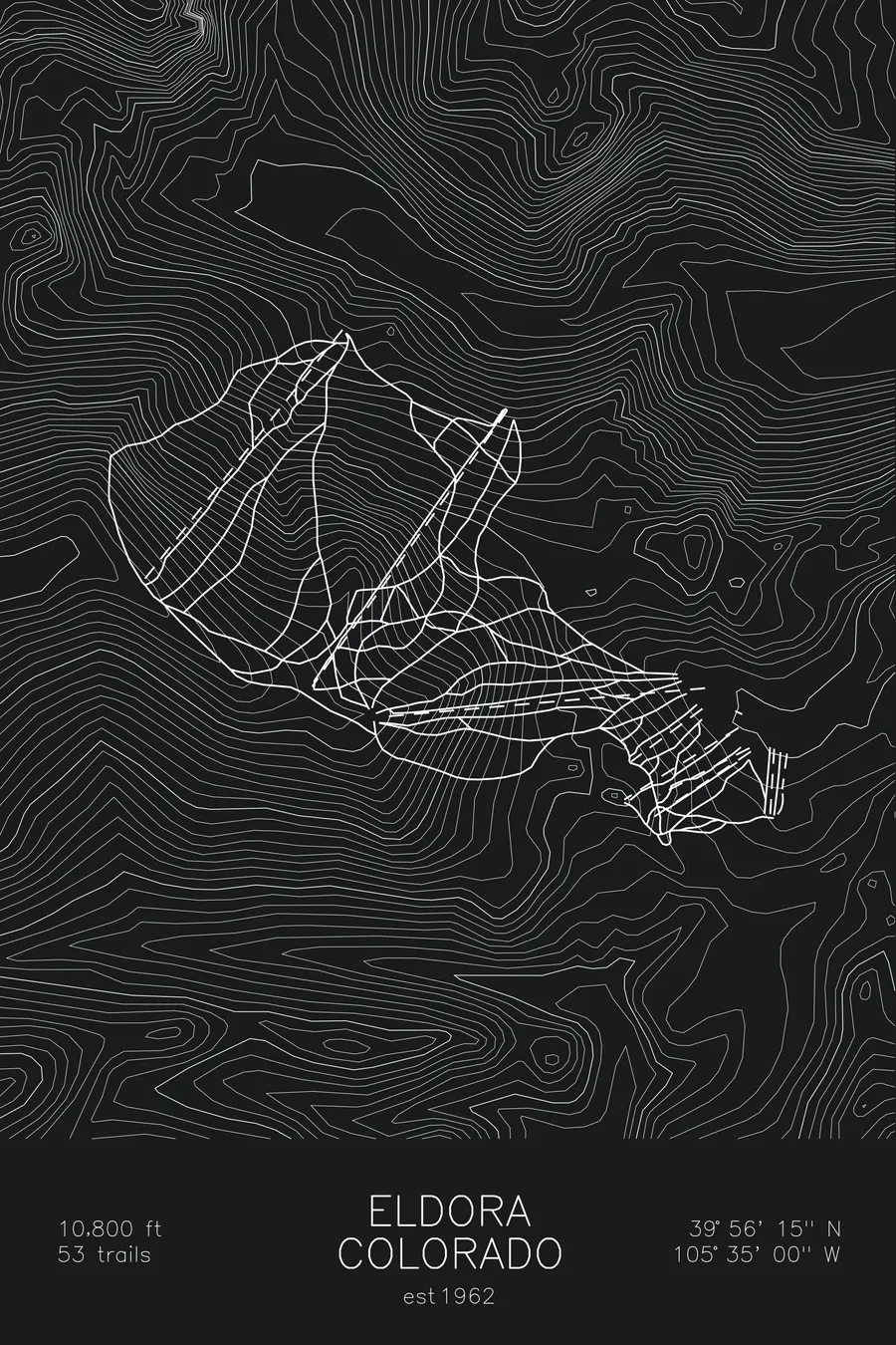
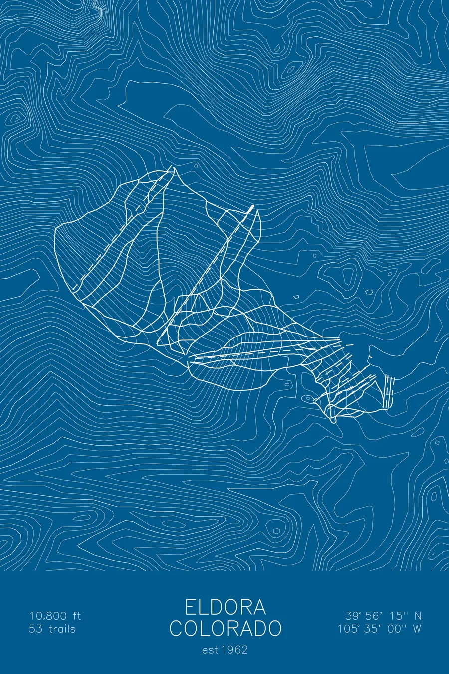
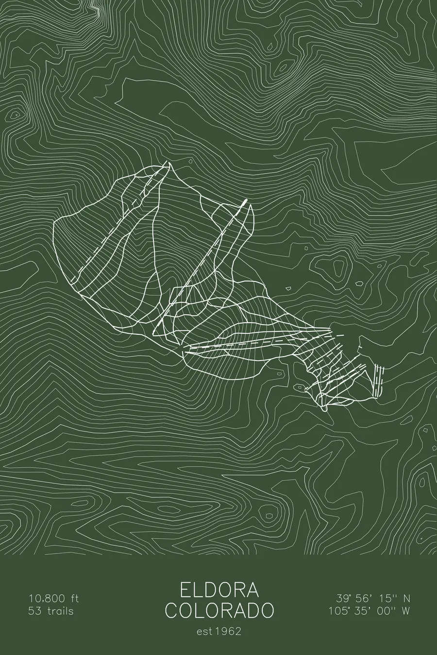
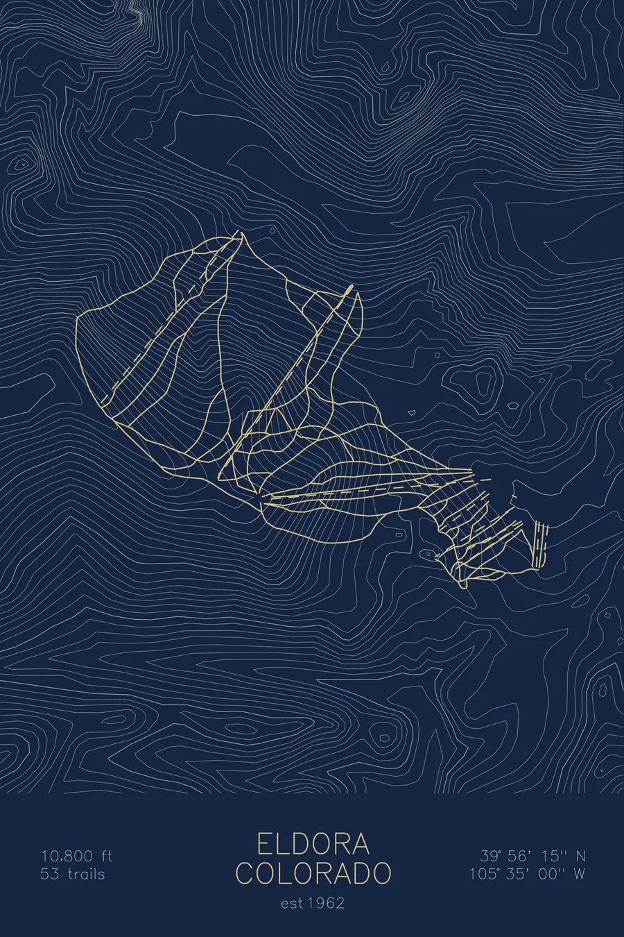
A topographic ski map of Eldora, Colorado, with the resort's runs and lifts drawn over real terrain in a minimalist contour-line design.
Est. 1962. 53 trails. 10,800 feet above sea level.
$63
Ink & paper: Arctic White
Size: 12×18"
+Personalize this map
+ Details
- 12 × 18 inches
- Drawn on 98 lb (160 gsm) archival cotton paper
- Precision technical pens and archival inks
- Signed and dated on the back
- Ships flat, protected, ready to frame
Each map begins with elevation data and is drawn by a pen plotter in our Vermont studio. Mechanical precision, plus the texture and small imperfections of real ink on paper.
Off the screen
In real rooms



















+ About this map
Eldora is Boulder’s backyard hill, a compact ski area founded in 1962 above the town of Nederland on Colorado’s Front Range. Its 53 trails top out at 10,800 feet near the Continental Divide, and the wind that pours over the Divide is as much a part of the place as the snow.
What Eldora lacks in acreage it makes up in character and convenience: sheltered glades, honest fall-line runs, and the rare distinction of being a Colorado ski day that never touches I-70. The contour lines on this map show the high ridges of the Divide breaking down toward the foothills.
+ Map details
- Eldora
- Colorado
- United States
- Rocky Mountains
- 10,800 ft / 3,292 m
- 39.9375N 105.5833W
- Ski resort trail map
- Original pen plot, archival ink on cotton paper
- 8 × 12 in · 12 × 18 in · 18 × 24 in
- Est. 1962. 53 trails
More maps