Argentina
Fitz Roy
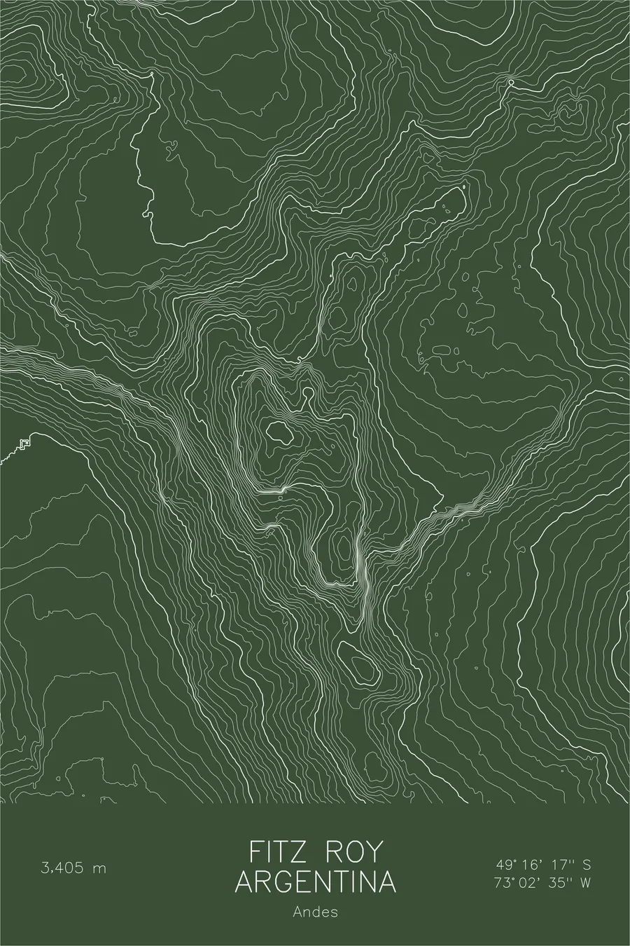
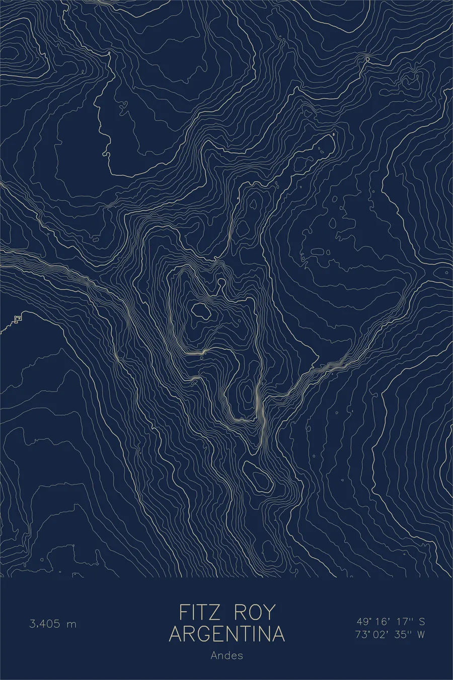
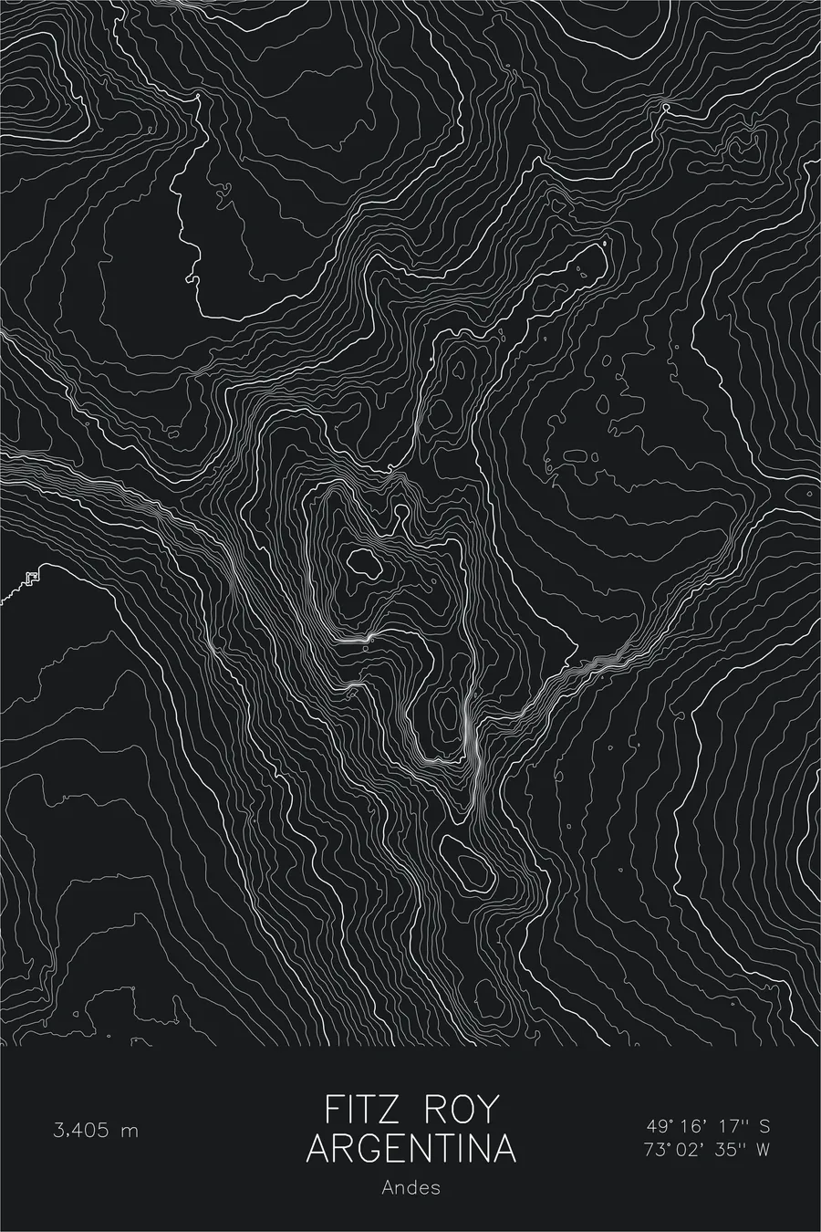
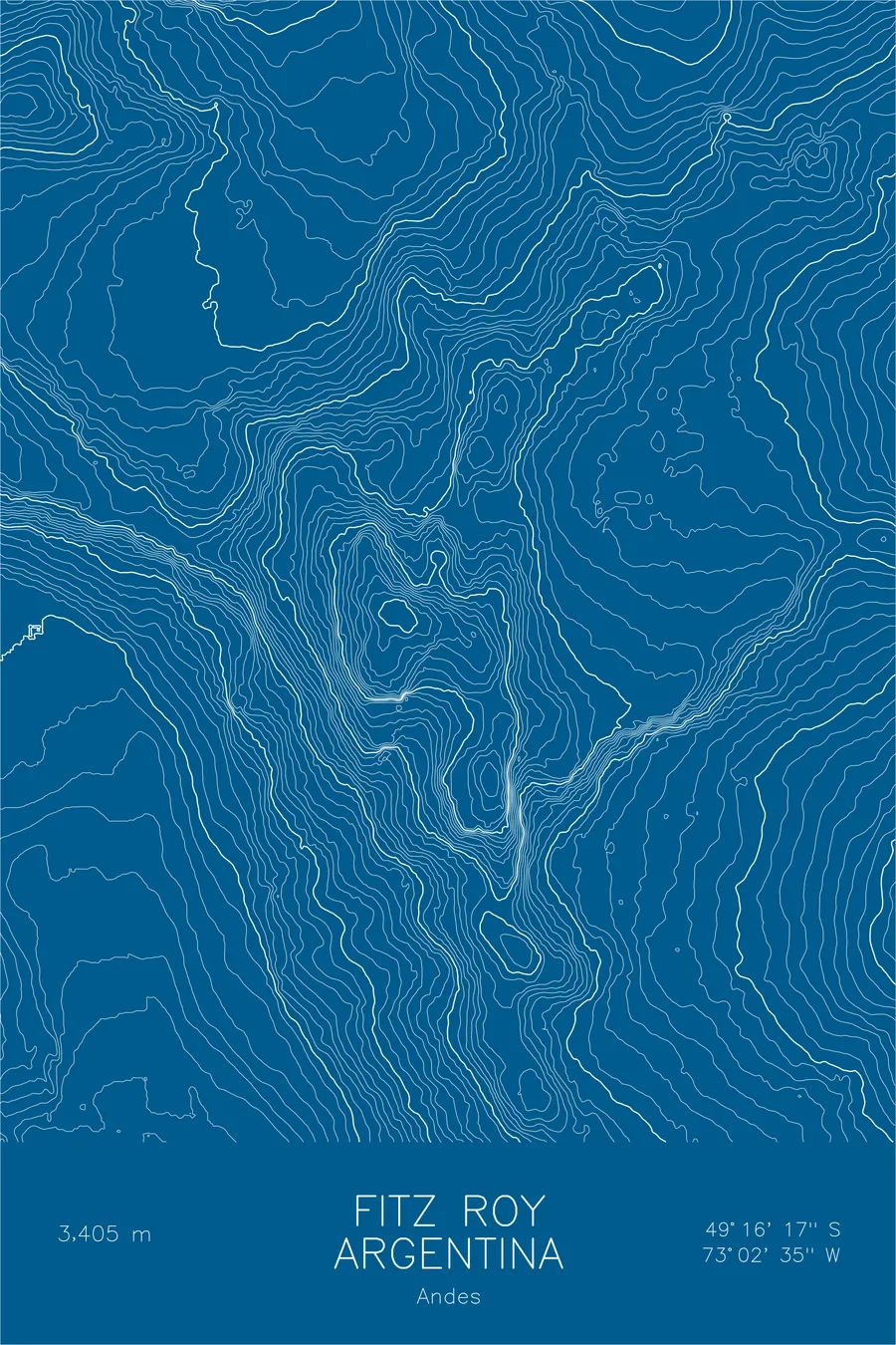
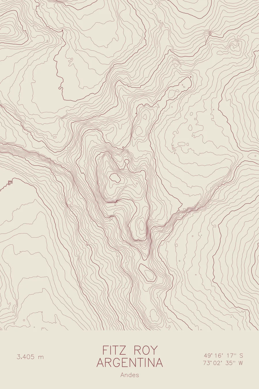
A pen-plotted topographic map of Fitz Roy in the Andes, Argentina, drawn from real elevation contour data.
Iconic Patagonian spire, Patagonia brand logo. 11,171 feet above sea level.
$54
Ink & paper: Black
Size: 12×18"
+Personalize this map
+ Details
- 12 × 18 inches
- Drawn on 98 lb (160 gsm) archival cotton paper
- Precision technical pens and archival inks
- Signed and dated on the back
- Ships flat, protected, ready to frame
Each map begins with elevation data and is drawn by a pen plotter in our Vermont studio. Mechanical precision, plus the texture and small imperfections of real ink on paper.
Off the screen
In real rooms



















+ About this map
Fitz Roy rises 11,171 feet on the edge of the Southern Patagonian Ice Field in Argentina, above the village of El Chaltén. Its indigenous name, Chaltén, means smoking mountain, for the banner of cloud that so often streams from the summit. The jagged skyline it forms with its satellite spires became the logo of the Patagonia clothing company, making this one of the most recognized mountain profiles in the world.
This map traces that skyline from above. The contour lines collapse into dense knots at Fitz Roy and the surrounding needles, including Aguja Poincenot, recording granite walls that rise thousands of feet at close to vertical. Glacial lakes sit in the basins below the east faces, Laguna de los Tres among them, while to the west the lines run out onto the Southern Patagonian Ice Field.
+ Map details
- Fitz Roy
- Argentina
- Andes
- Andes
- 11,171 ft / 3,405 m
- 49.2714S 73.0431W
- Mountain topographic map
- Original pen plot, archival ink on cotton paper
- 8 × 12 in · 12 × 18 in · 18 × 24 in
- Iconic Patagonian spire, Patagonia brand logo
More maps