Montana
Flathead Lake
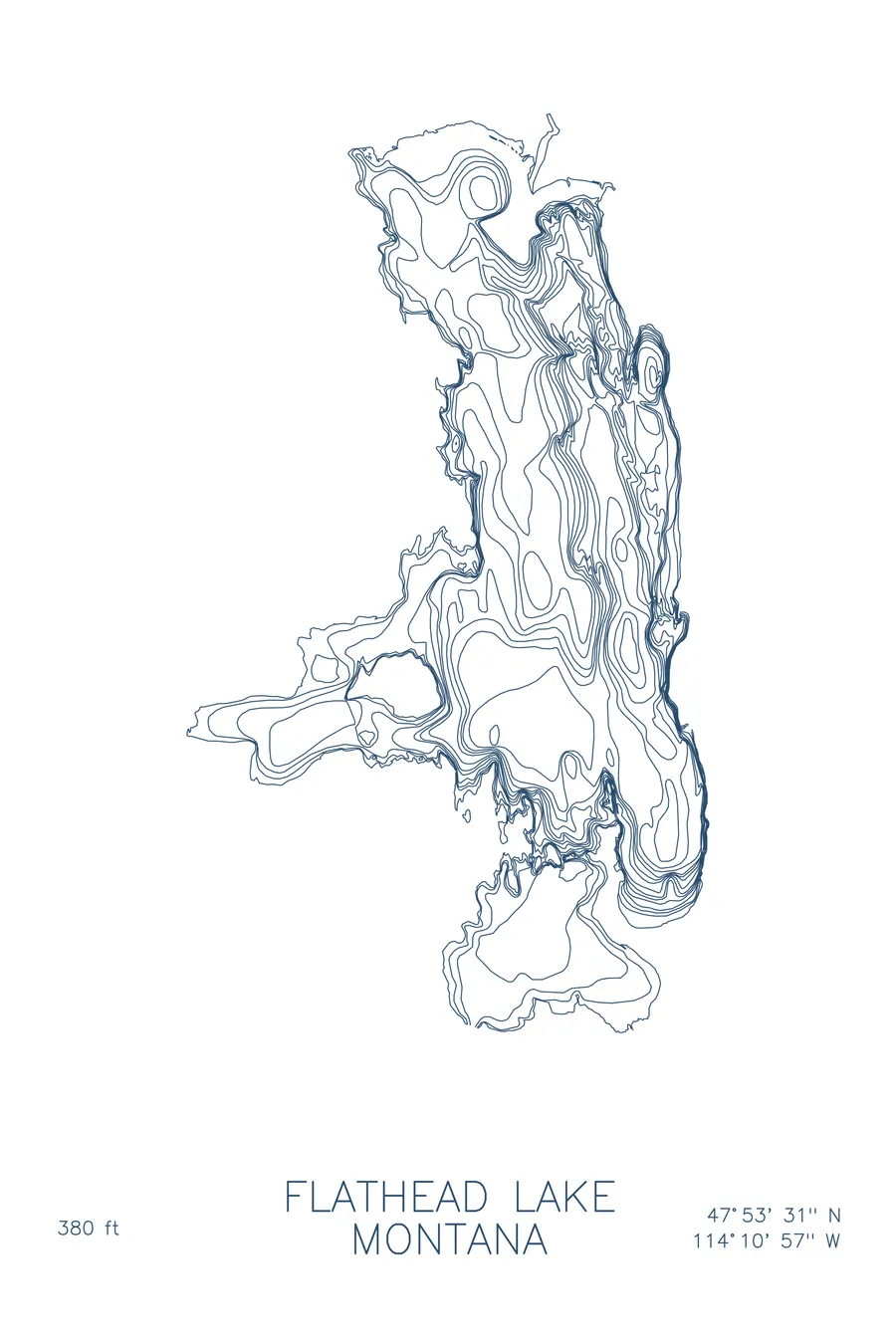
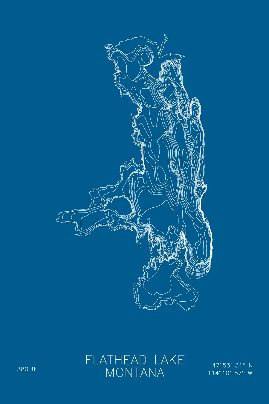
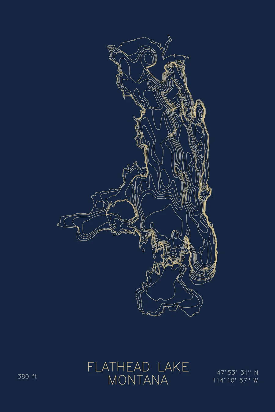
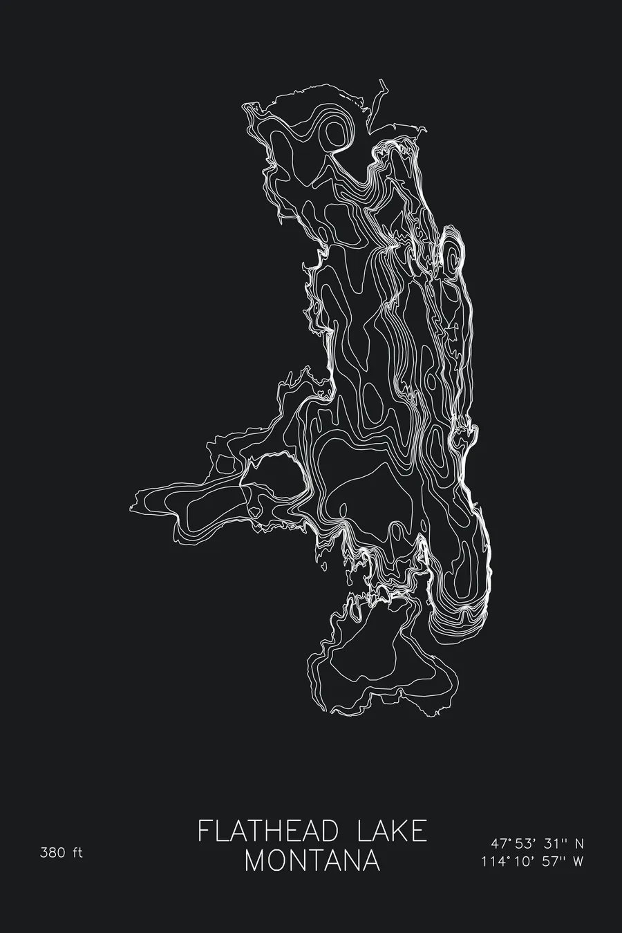
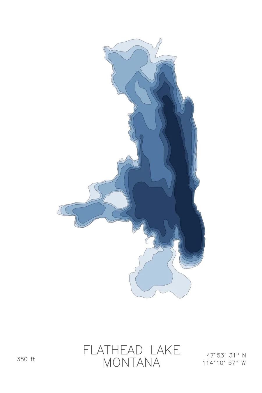
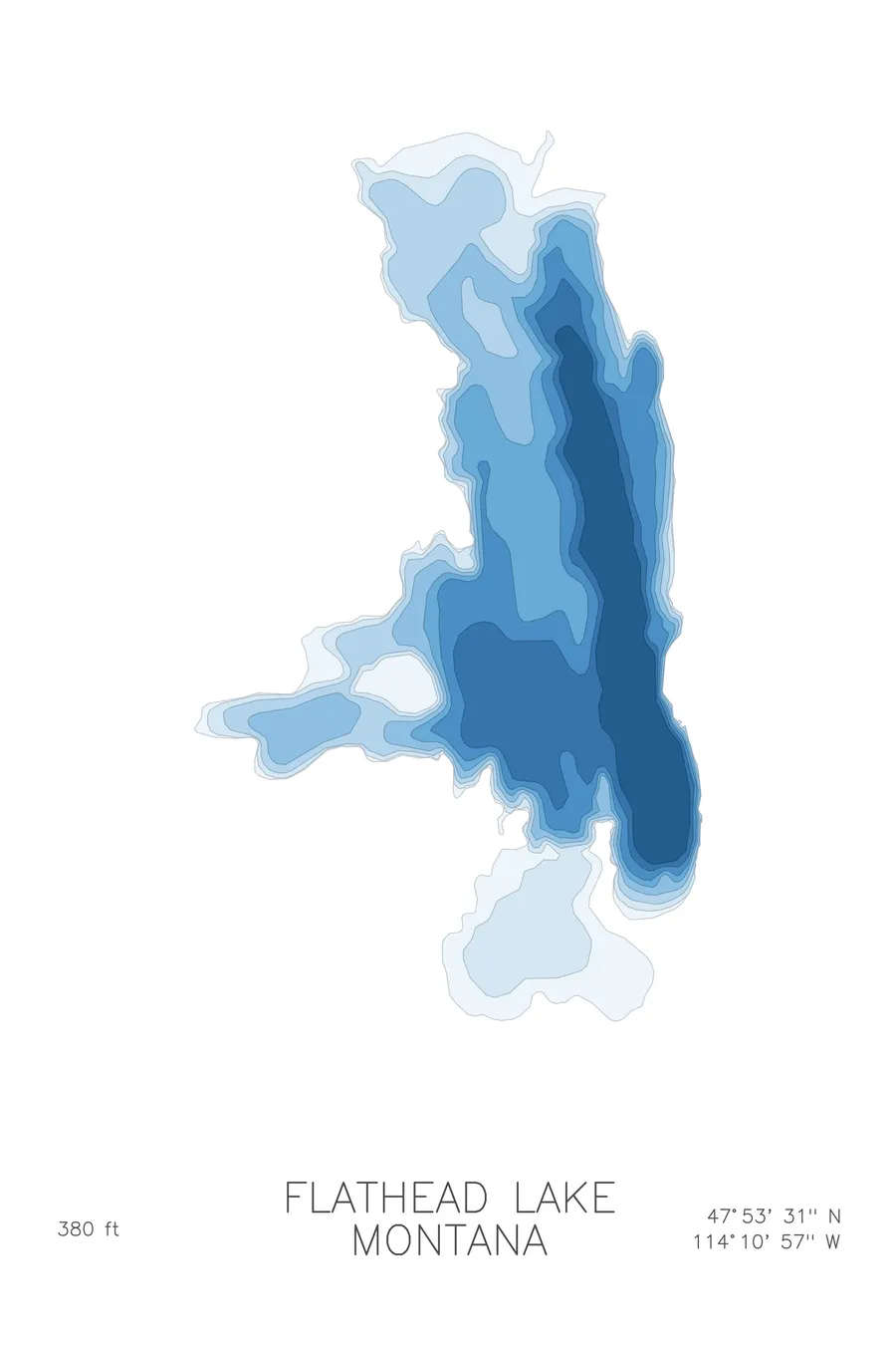
A bathymetric depth map of Flathead Lake, Montana, drawn from real lake survey data in a minimalist contour-line design.
109 documented monster sightings since 1889; locals call it Flessie.
$50
Ink & paper: Lake Blue
Size: 12×18"
+Personalize this map
+ Details
- 12 × 18 inches
- Drawn on 98 lb (160 gsm) archival cotton paper
- Precision technical pens and archival inks
- Signed and dated on the back
- Ships flat, protected, ready to frame
Each map begins with elevation data and is drawn by a pen plotter in our Vermont studio. Mechanical precision, plus the texture and small imperfections of real ink on paper.
Off the screen
In real rooms



















+ About this map
The first recorded response to the Flathead Lake Monster was gunfire. In 1889, Captain James C. Kerr of the lake steamboat U.S. Grant and his roughly 100 passengers saw a large whale-like object in the water, and one passenger shot at it. There have been 109 documented sightings since, averaging one or two a year, with 13 in 1993 alone, and locals have settled on calling the creature Flessie. It has room to work with: Flathead is the largest natural freshwater lake west of the Mississippi in the lower 48, clear and cold for nearly thirty miles beneath the Mission Mountains.
The depth contours show a lake with real structure beneath the surface. The main basin drops steadily to 380 feet, with the tightest lines gathered along the eastern side where the mountain front continues underwater. Wild Horse Island rises out of the western half as a knot of closed contours, Polson Bay spreads shallow and wide at the south, and the Flathead River’s inflow builds a gentler shelf across the northern end. The map traces all of it in clean, patient line work.
+ Map details
- Flathead Lake
- Montana
- United States
- Rocky Mountains
- 47.8918N 114.1826W
- Lake bathymetric depth map
- Original pen plot, archival ink on cotton paper
- 8 × 12 in · 12 × 18 in · 18 × 24 in
- Max depth 380 ft
More maps