Washington
Glacier Peak
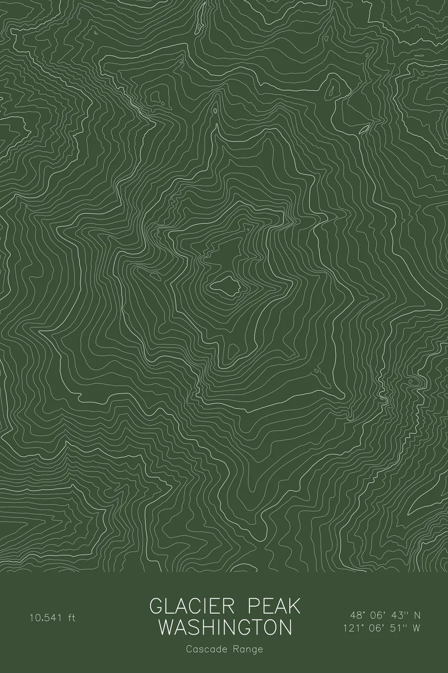
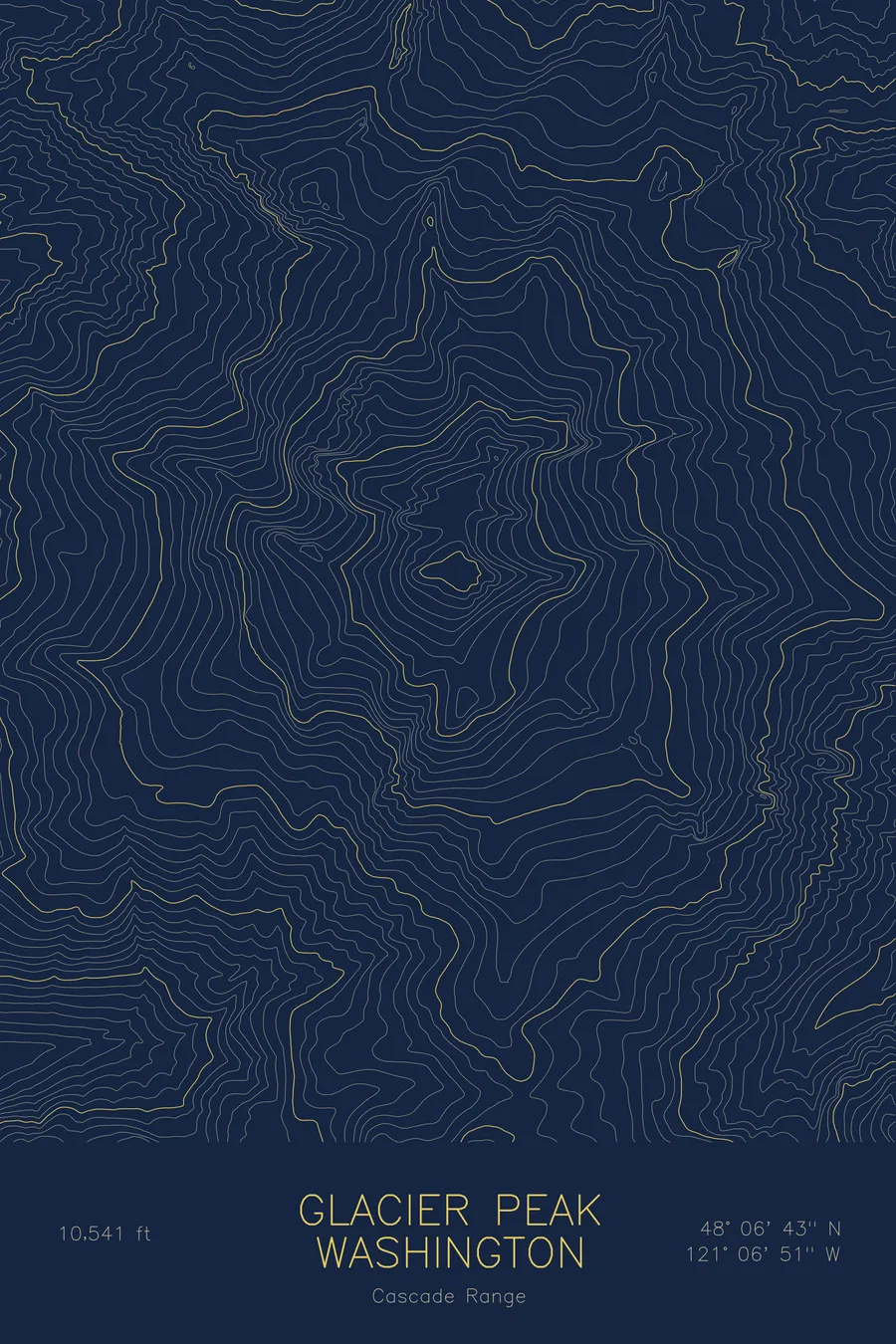
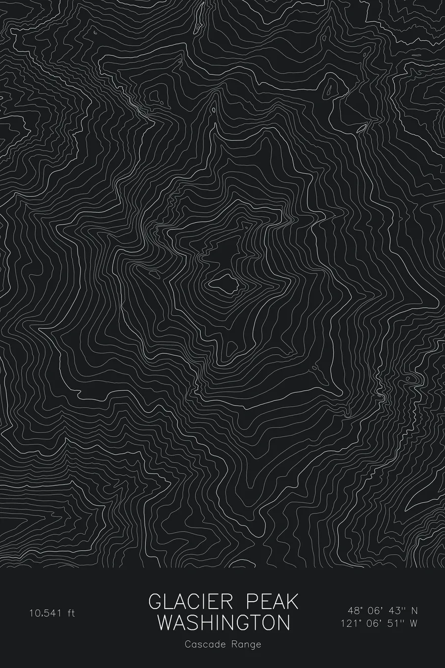
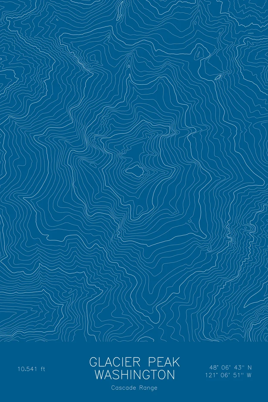
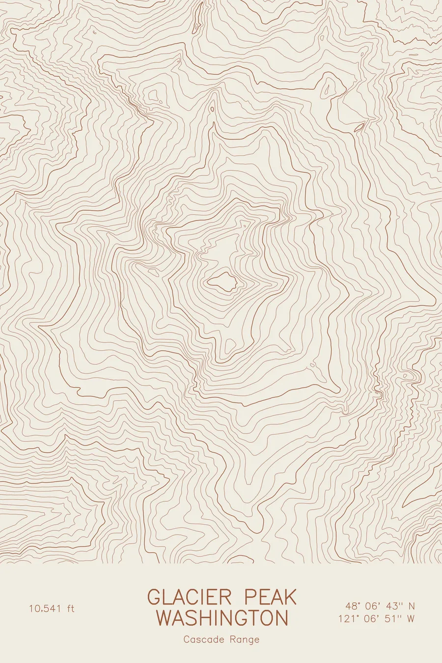
A pen-plotted topographic map of Glacier Peak in the Cascade Range, Washington, drawn from real elevation contour data.
Most remote of Washington's five major volcanoes, Glacier Peak Wilderness. 10,541 feet above sea level.
$54
Ink & paper: Blue
Size: 12×18"
+Personalize this map
+ Details
- 12 × 18 inches
- Drawn on 98 lb (160 gsm) archival cotton paper
- Precision technical pens and archival inks
- Signed and dated on the back
- Ships flat, protected, ready to frame
Each map begins with elevation data and is drawn by a pen plotter in our Vermont studio. Mechanical precision, plus the texture and small imperfections of real ink on paper.
Off the screen
In real rooms



















+ About this map
Glacier Peak rises to 10,541 feet in the North Cascades of Washington, the most remote of the state’s five major volcanoes. No road comes close, and from Seattle it hides behind lower ridges, so many people who live within sight of Rainier and Baker have never picked it out. It sits at the centre of the Glacier Peak Wilderness, draped in glaciers that feed the Suiattle and White Chuck rivers.
This map traces the radial form of a heavily glaciated volcano. The contour lines converge on the summit cone in tight rings, then run outward along the ice: the Kennedy Glacier on the west, the Chocolate and Cool glaciers on the east. Sharp rock ridges separate the glacier troughs, and the deep valleys spread out from the cone in every direction. Elevation on this sheet runs from about 4,450 feet to the summit, roughly 6,000 feet of relief.
+ Map details
- Glacier Peak
- Washington
- United States
- Cascade Range
- Cascade Range
- 10,541 ft / 3,213 m
- 48.1119N 121.1142W
- Mountain topographic map
- Original pen plot, archival ink on cotton paper
- 8 × 12 in · 12 × 18 in · 18 × 24 in
- Most remote of Washington's five major volcanoes, Glacier Peak Wilderness
More maps