Canada
Whistler Peak
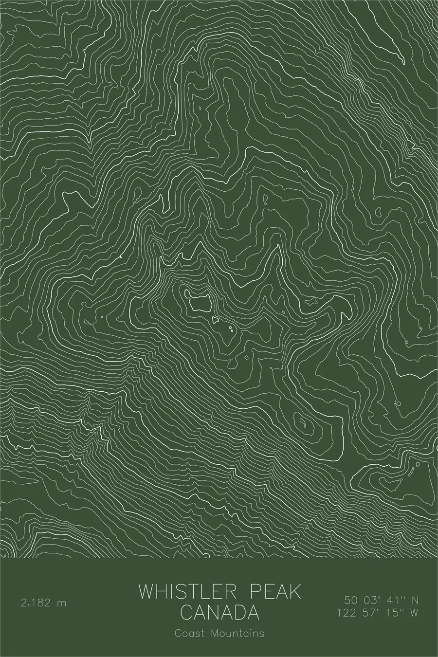
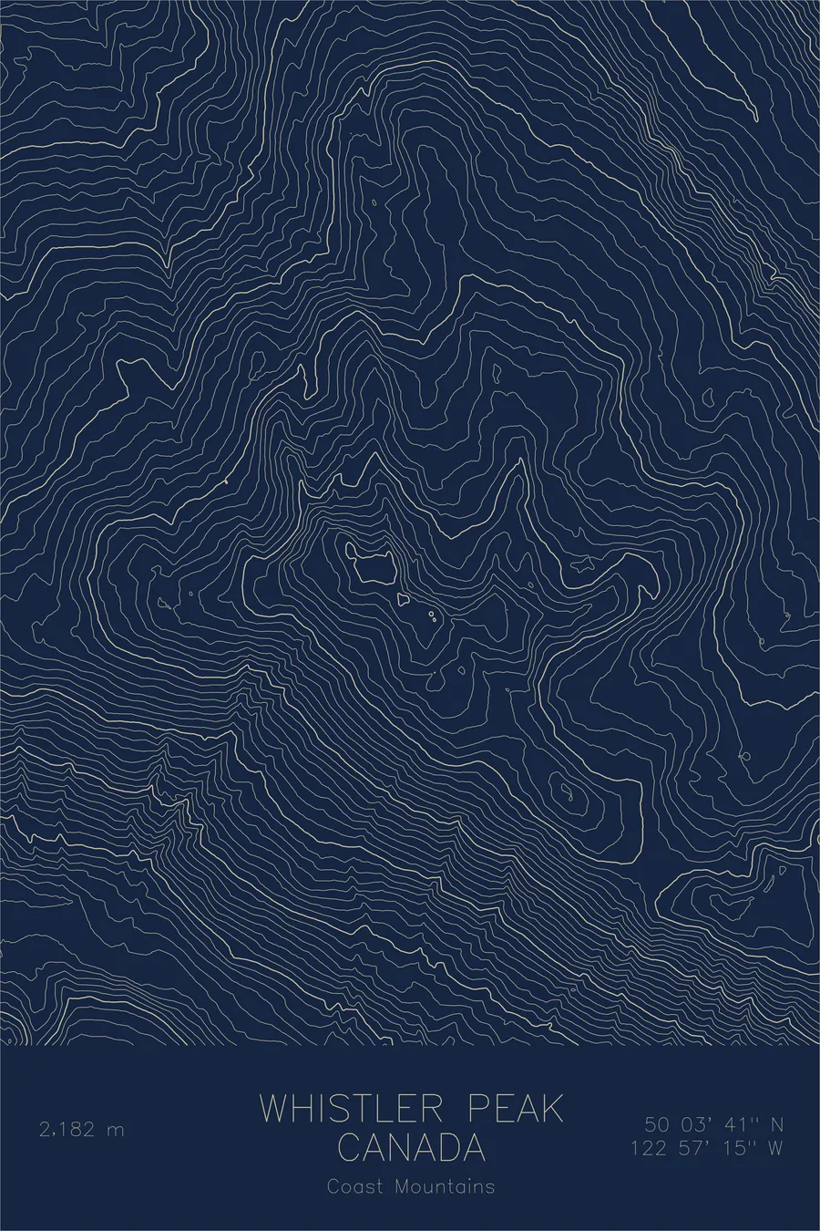
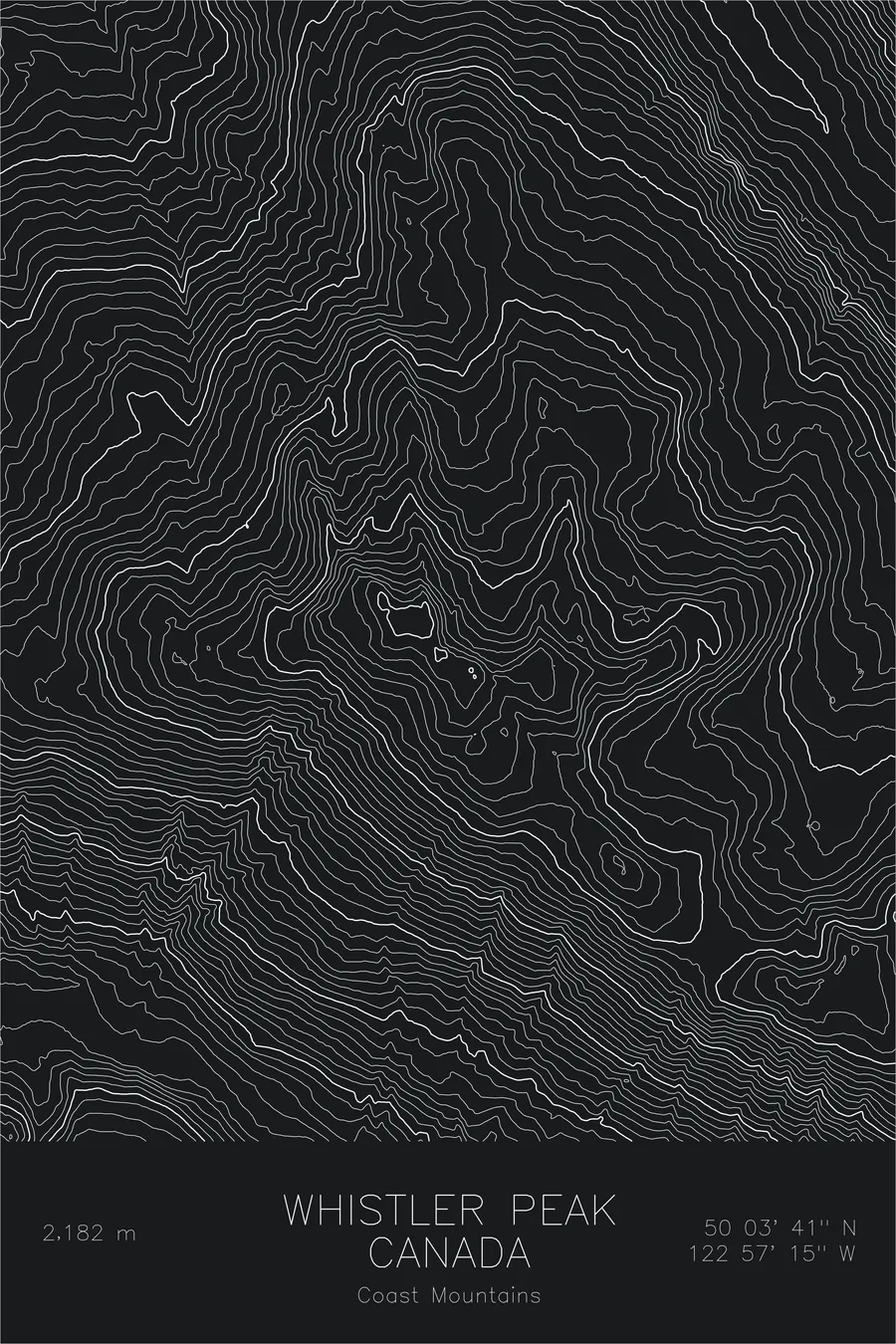
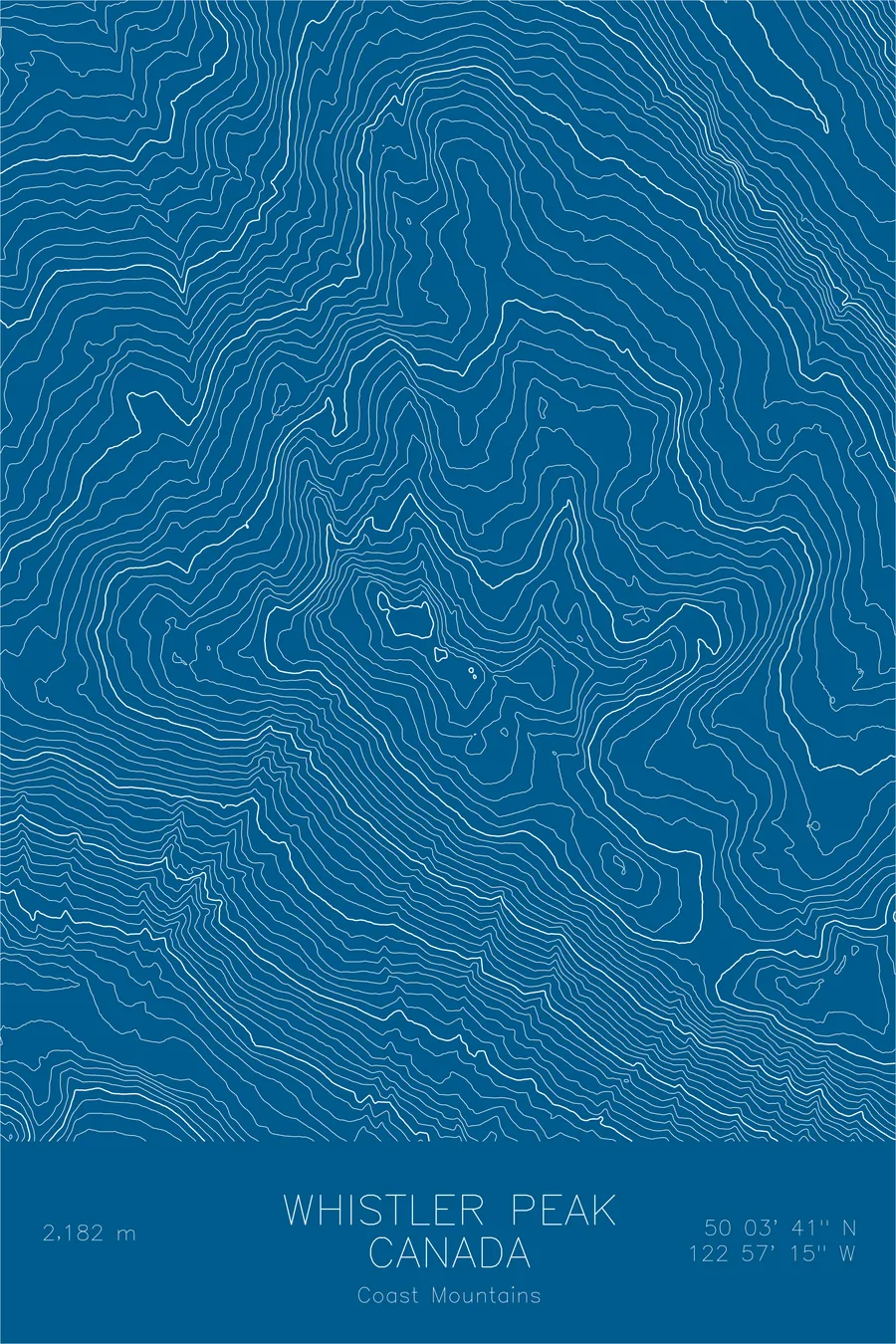
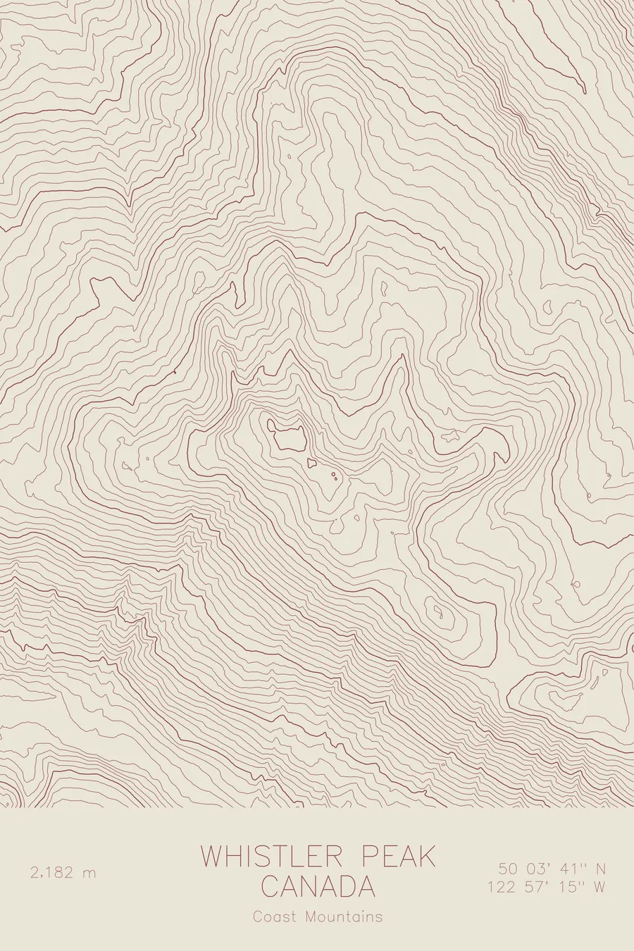
A pen-plotted topographic map of Whistler Peak in the Coast Mountains, Canada, drawn from real elevation contour data.
World-class ski and mountain bike destination in British Columbia. 7,160 feet above sea level.
$54
Ink & paper: Navy
Size: 12×18"
+Personalize this map
+ Details
- 12 × 18 inches
- Drawn on 98 lb (160 gsm) archival cotton paper
- Precision technical pens and archival inks
- Signed and dated on the back
- Ships flat, protected, ready to frame
Each map begins with elevation data and is drawn by a pen plotter in our Vermont studio. Mechanical precision, plus the texture and small imperfections of real ink on paper.
Off the screen
In real rooms



















+ About this map
Whistler Mountain rises 7,160 feet in the Coast Mountains of British Columbia, named for the shrill warning calls of the hoary marmots that live among its summit rocks. Long before it became one of the most famous ski and mountain bike destinations in the world, it was simply a rugged Coast Range peak on the edge of Garibaldi Provincial Park, and the terrain that draws people here today is the same terrain the contours have always described.
This map shows the mountain underneath the resort. The contour lines trace the alpine bowls and cirques carved into the upper slopes, the high ridgeline running toward the ice of the surrounding backcountry, and the long descent into the Fitzsimmons Creek valley that separates Whistler from Blackcomb Peak across the way. To the south, the terrain falls toward Cheakamus Lake. Stripped of lifts and trail names, what remains is classic Coast Mountains topography: deep valleys, glacial sculpting, and steep, sustained relief.
+ Map details
- Whistler Peak
- Canada
- Coast Mountains
- Pacific Northwest
- 7,160 ft / 2,182 m
- 50.0615N 122.9543W
- Mountain topographic map
- Original pen plot, archival ink on cotton paper
- 8 × 12 in · 12 × 18 in · 18 × 24 in
- World-class ski and mountain bike destination in British Columbia
More maps