Washington
Mount Rainier
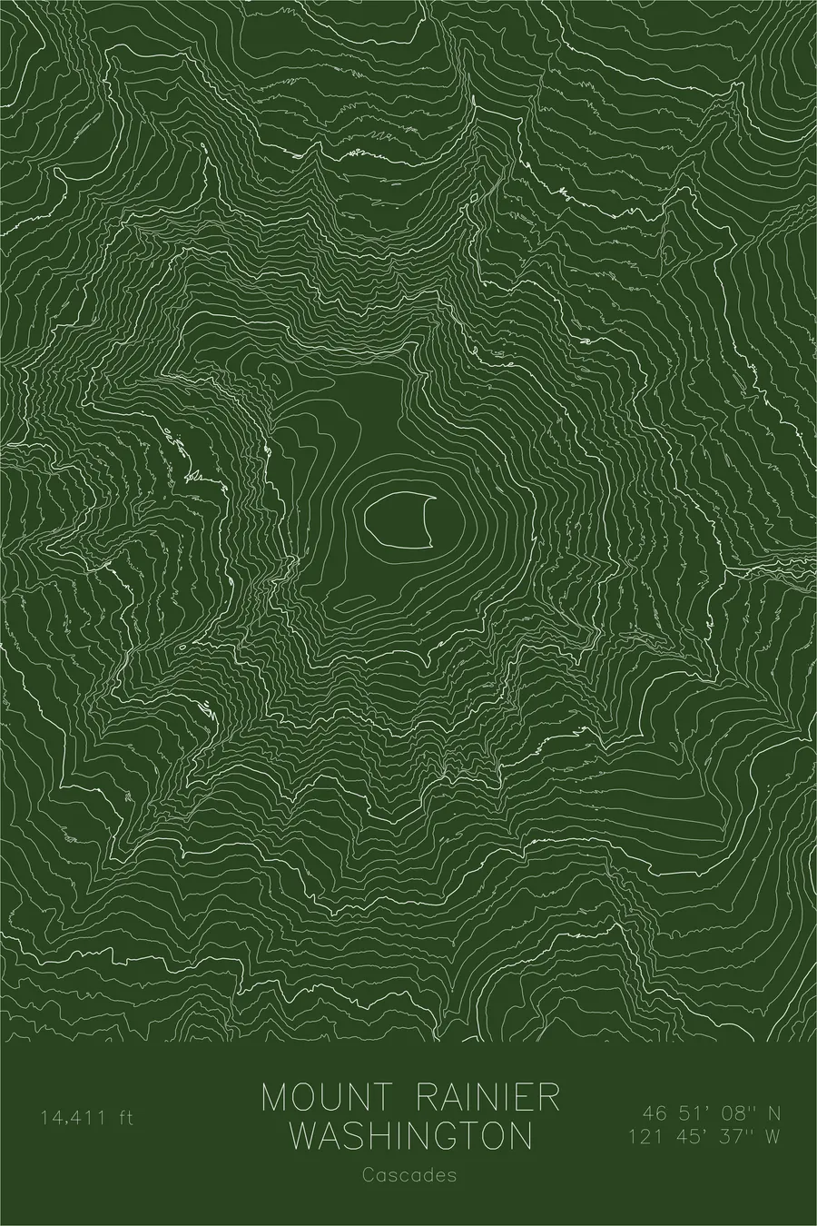
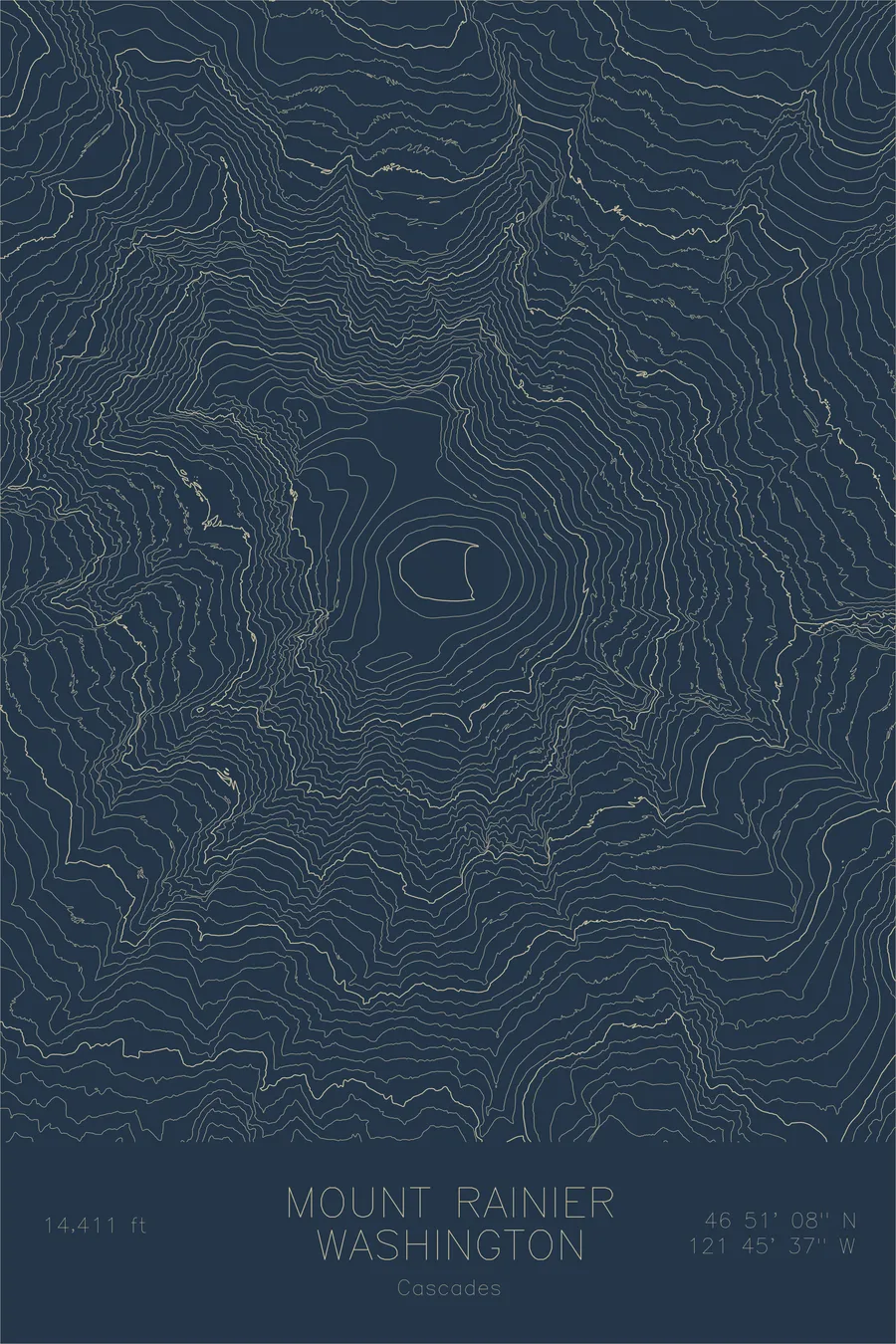
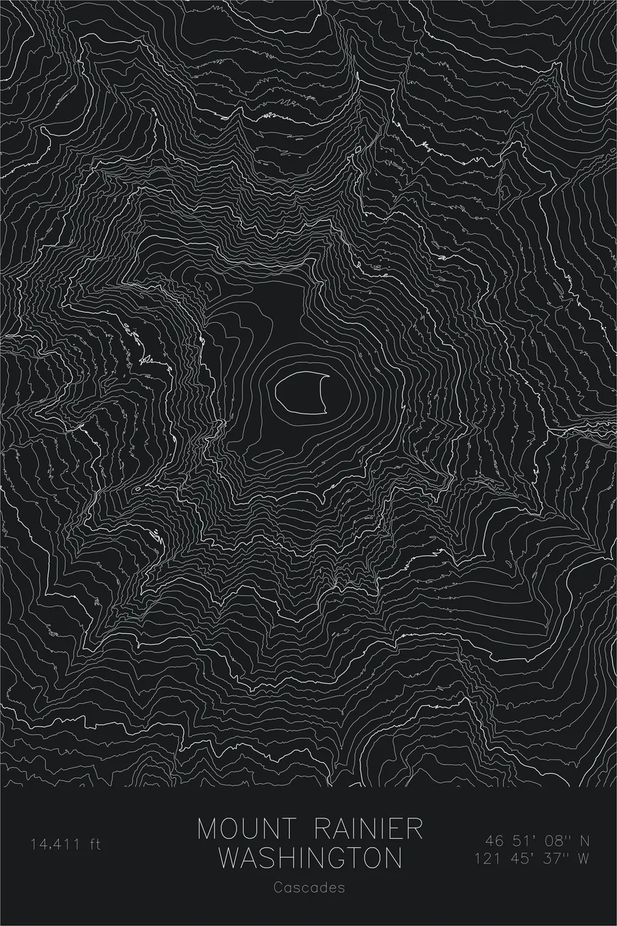
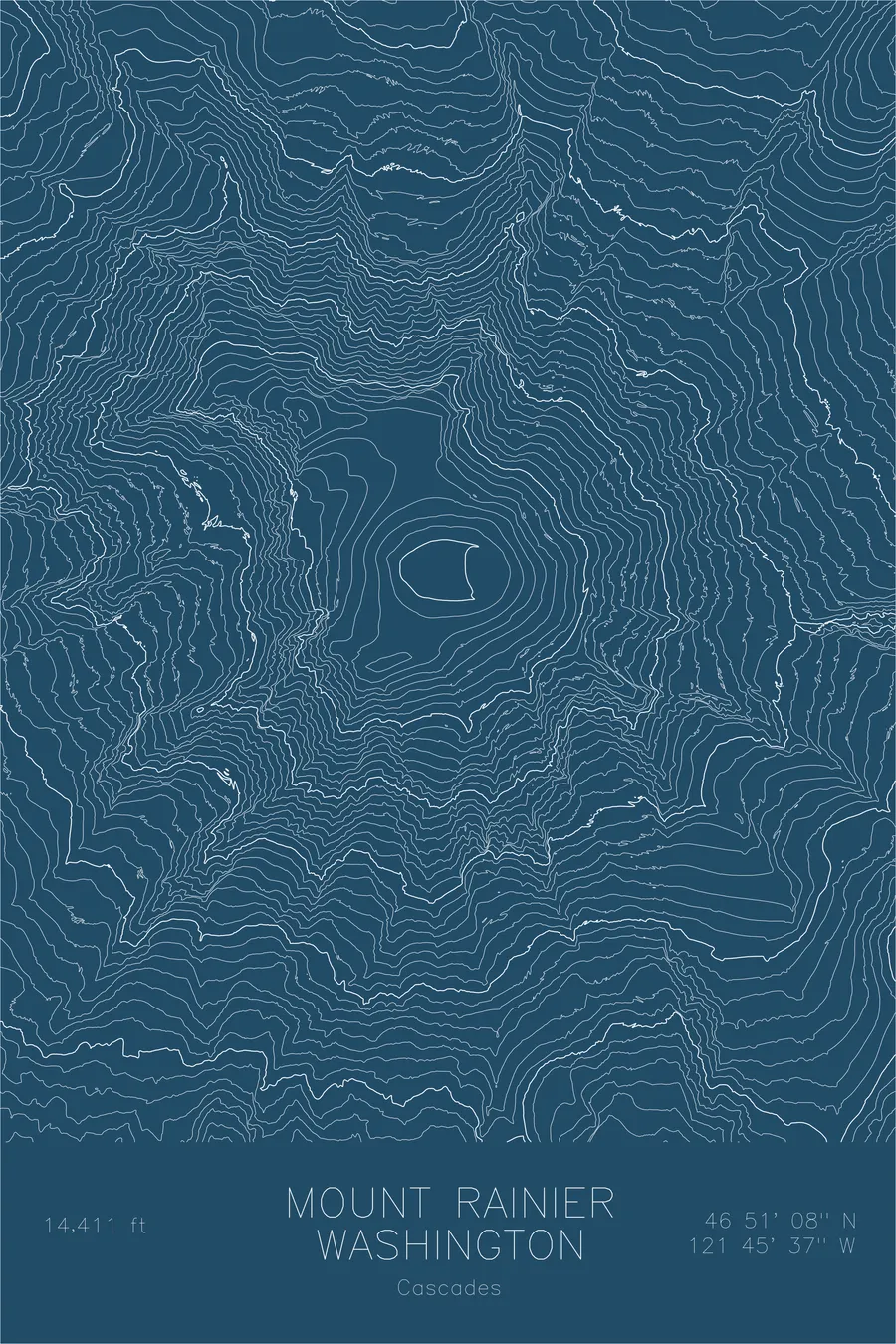
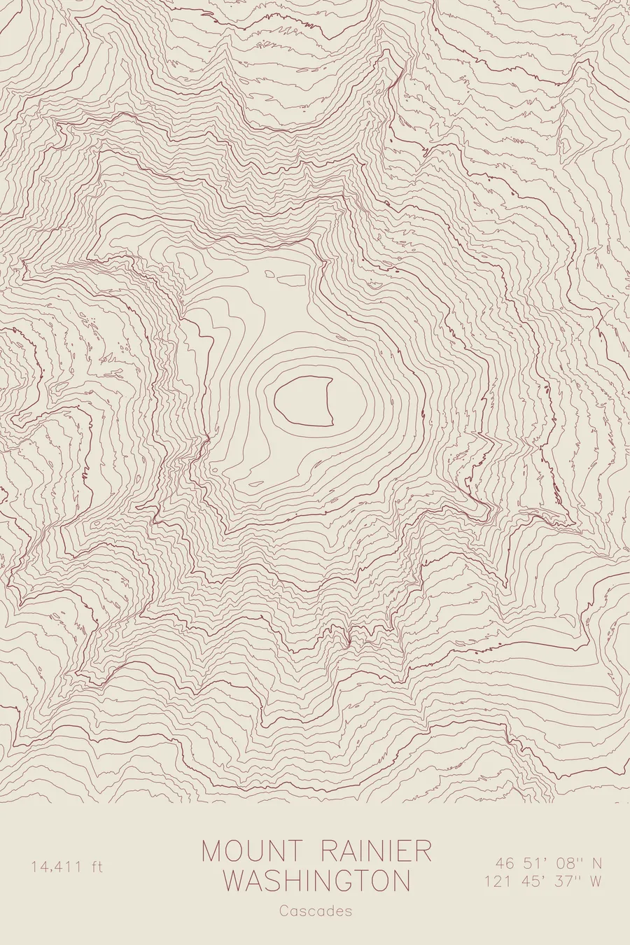
A pen-plotted topographic map of Mount Rainier in the Cascades, Washington, drawn from real elevation contour data.
A 14,411-foot volcano visible from 300 miles away, except on the many days it simply isn't there.
$54
Ink & paper: Green
Size: 12×18"
+Personalize this map
+ Details
- 12 × 18 inches
- Drawn on 98 lb (160 gsm) archival cotton paper
- Precision technical pens and archival inks
- Signed and dated on the back
- Ships flat, protected, ready to frame
Each map begins with elevation data and is drawn by a pen plotter in our Vermont studio. Mechanical precision, plus the texture and small imperfections of real ink on paper.
Off the screen
In real rooms



















+ About this map
There are worms living inside the glaciers on Mount Rainier, surfacing at dawn to graze on algae in the snow. The mountain carries twenty-five named glaciers, the largest glacial system on any single peak in the contiguous United States, feeding rivers that reach Puget Sound more than sixty miles away, and on a clear day it is visible from 300 miles out. I lived in Seattle for a decade and saw it perhaps forty times. The rest of the year it simply isn’t there, which is a strange arrangement to make with a 14,411-foot volcano.
This map traces the radial architecture of the mountain. The Emmons Glacier, the largest glacier by area in the contiguous United States, spreads down the northeast flank, while the Carbon Glacier on the north side descends lower than any other, its snout pushing into old-growth forest. Between the ice, the contour lines pinch into the narrow cleaver ridges that separate glacier from glacier, then open into the deep valleys of the Nisqually, White, and Carbon rivers. Every drainage on the map radiates outward from the tight concentric rings of the summit crater, the signature of a single enormous volcano organizing the landscape around it.
+ Map details
- Mount Rainier
- Washington
- United States
- Cascades
- Pacific Northwest
- 14,411 ft / 4,392 m
- 46.8523N 121.7603W
- Mountain topographic map
- Original pen plot, archival ink on cotton paper
- 8 × 12 in · 12 × 18 in · 18 × 24 in
- Volcano. Most glaciated peak in the contiguous United States
More maps