Wyoming
Grand Teton National Park
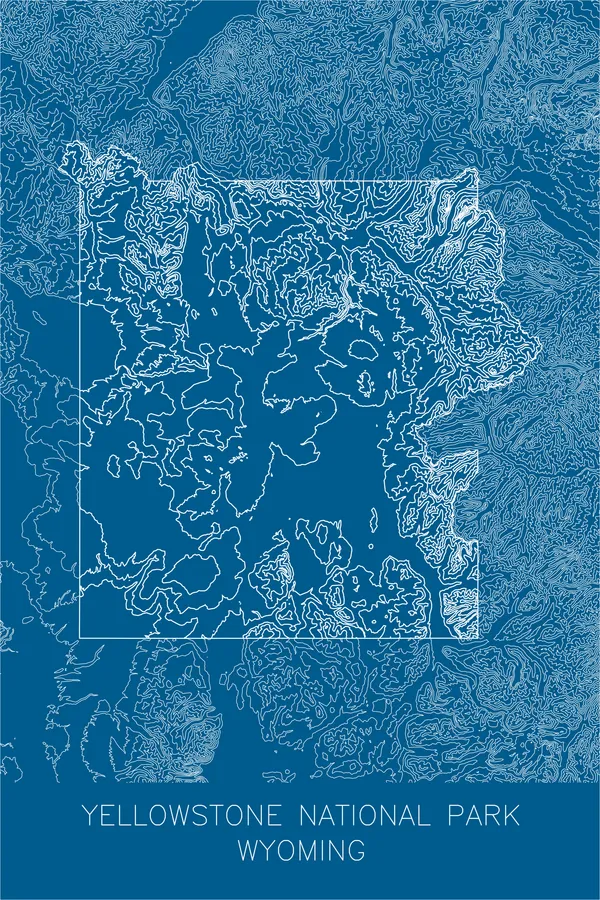
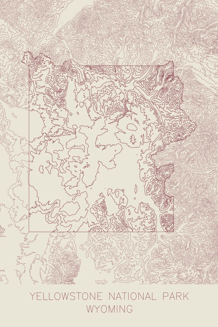
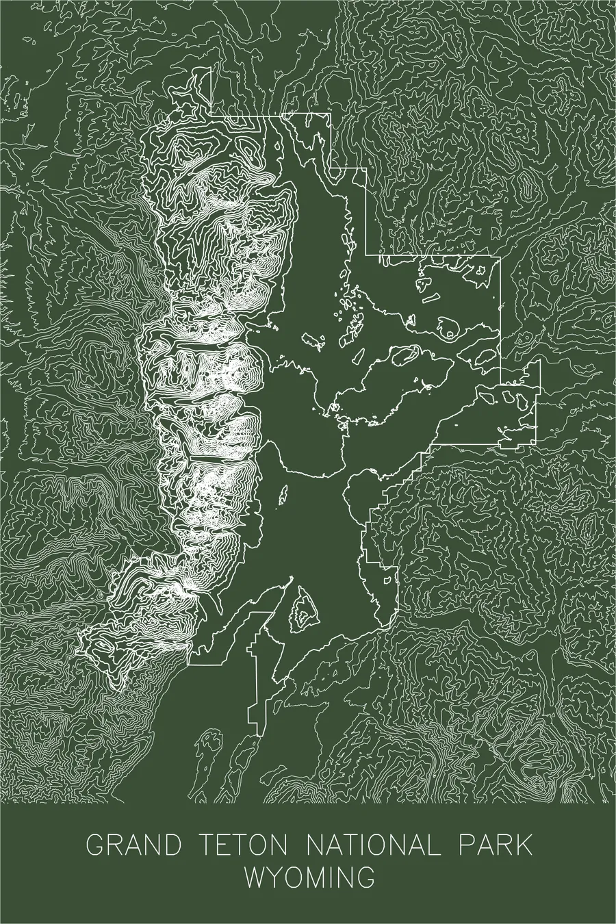
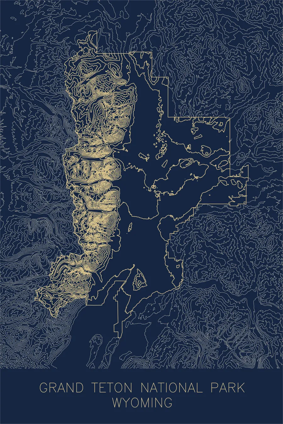
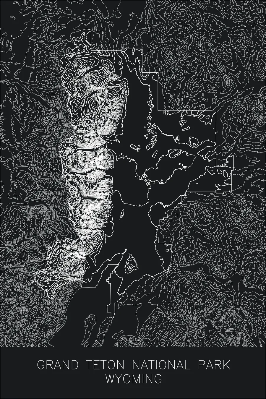
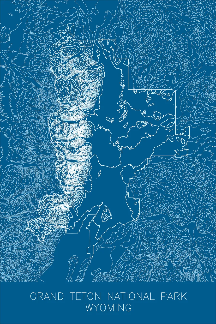
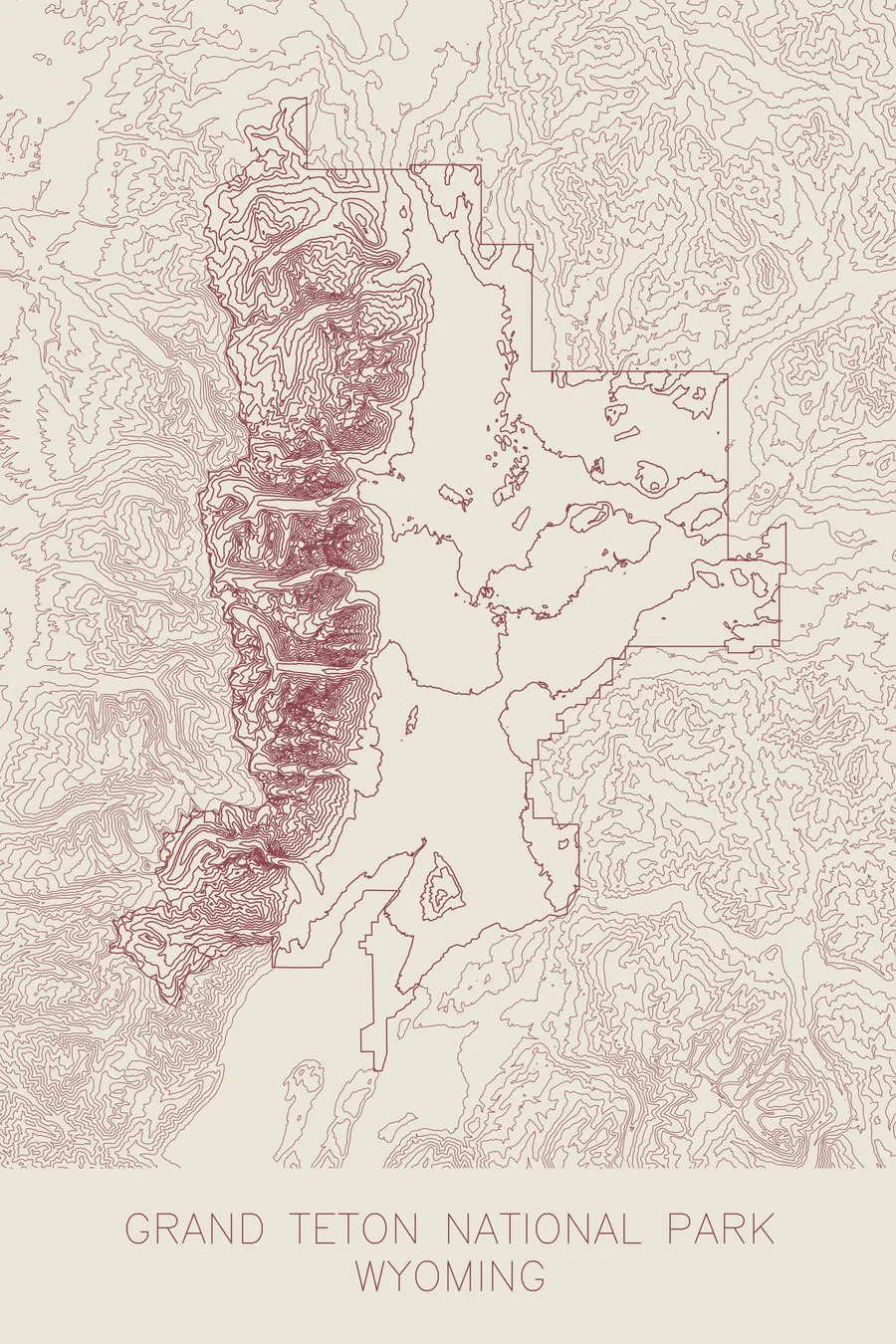
A pen-plotted topographic map of Grand Teton National Park, Wyoming, drawn from real elevation contour data.
Wyoming remains the only state where presidents cannot proclaim national monuments.
$54
Ink & paper: Blue
+Personalize this map
+ Details
- 12 × 18 inches
- Drawn on 98 lb (160 gsm) archival cotton paper
- Precision technical pens and archival inks
- Signed and dated on the back
- Ships flat, protected, ready to frame
Each map begins with elevation data and is drawn by a pen plotter in our Vermont studio. Mechanical precision, plus the texture and small imperfections of real ink on paper.
Off the screen
In real rooms



















+ About this map
A good part of Grand Teton National Park exists because John D. Rockefeller Jr. threatened to sell it. Starting in 1927 he bought up Jackson Hole ranchland through a front called the Snake River Land Company, hiding his name to keep appraisals low, and after Congress refused the donation for years he told Interior Secretary Harold Ickes in a 1942 letter to accept the land or he would put it on the open market. Roosevelt used the Antiquities Act to declare the 221,000-acre Jackson Hole National Monument on March 15, 1943. Wyoming was so furious that the 1950 law merging the monument into the park made it the only state where presidents cannot use the Act.
That suddenness is what the map shows best. Contour lines pack into a dense wall along the eastern face of the range, then release into the broad, open valley of Jackson Hole where the Snake River winds past Jackson Lake and Jenny Lake. Between the peaks, the lines pull apart to reveal the glacial canyons that cut through the range, including Cascade Canyon, Death Canyon, and Paintbrush Canyon, each one a U-shaped corridor carved by ice.
+ Map details
- Grand Teton National Park
- Wyoming
- United States
- Rocky Mountains
- 13,775 ft / 4,199 m
- 43.7904N 110.6818W
- National park topographic map
- Original pen plot, archival ink on cotton paper
- 12 × 18 in
- The Teton Range rises 7,000 feet straight off the valley floor
More maps