Colorado
Grays Peak
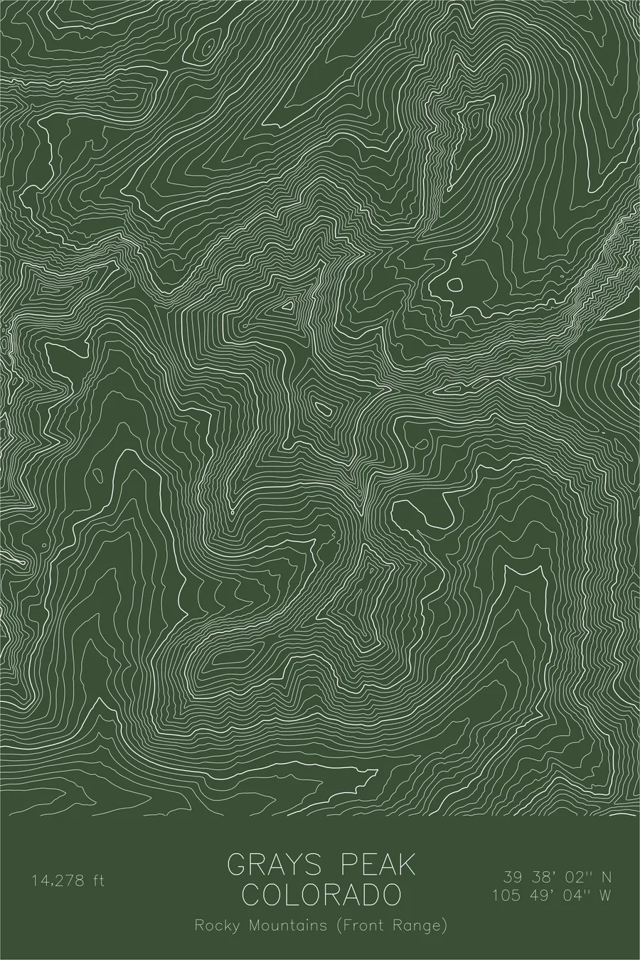
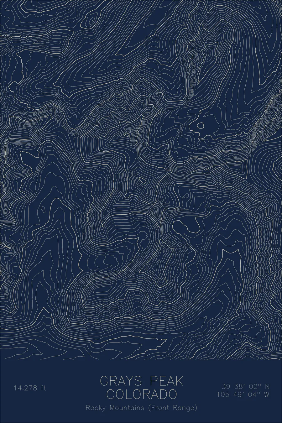
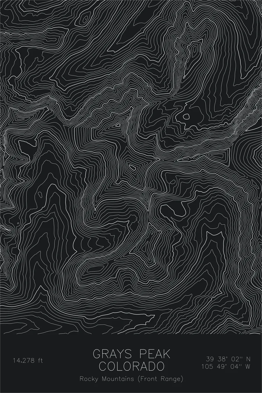
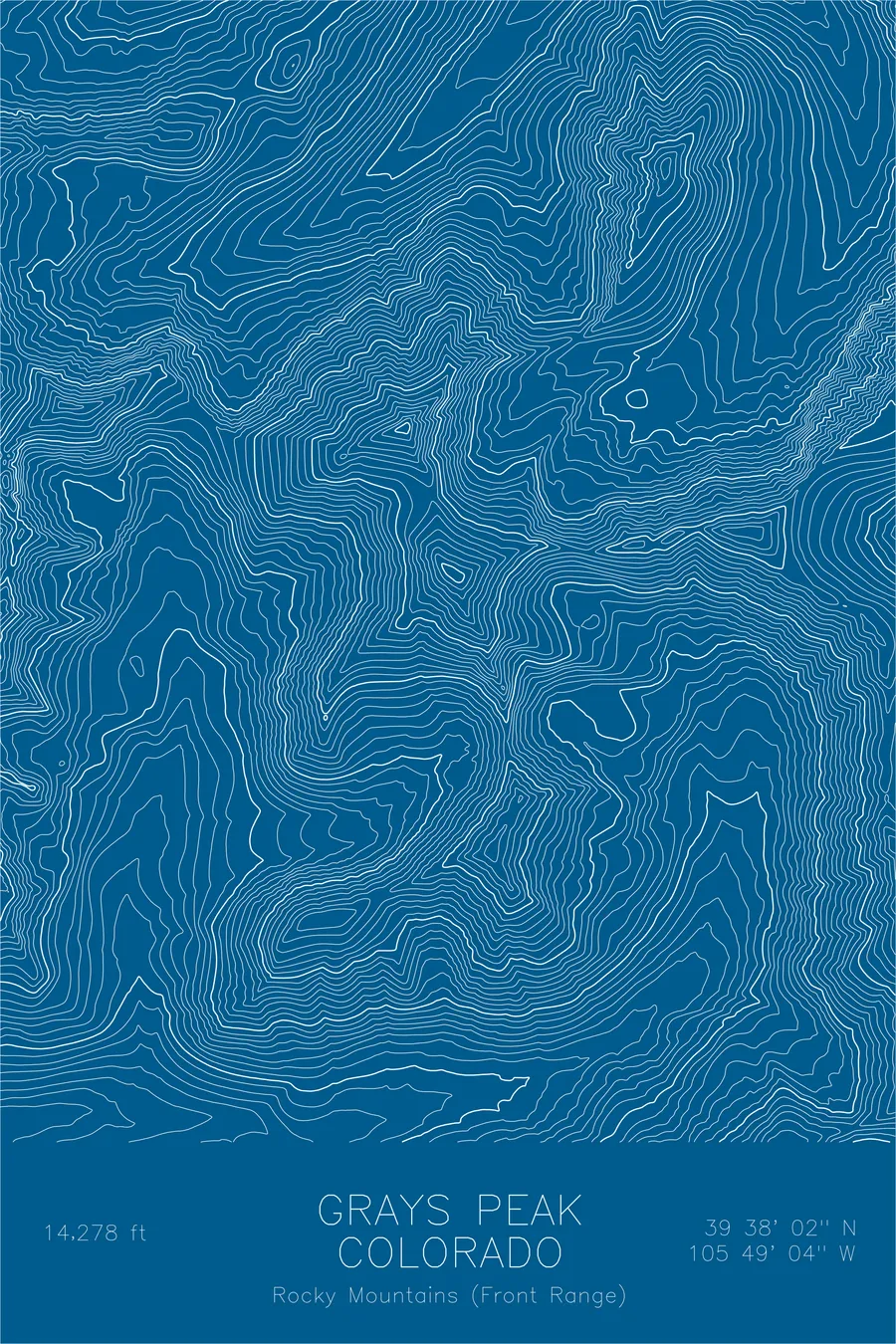
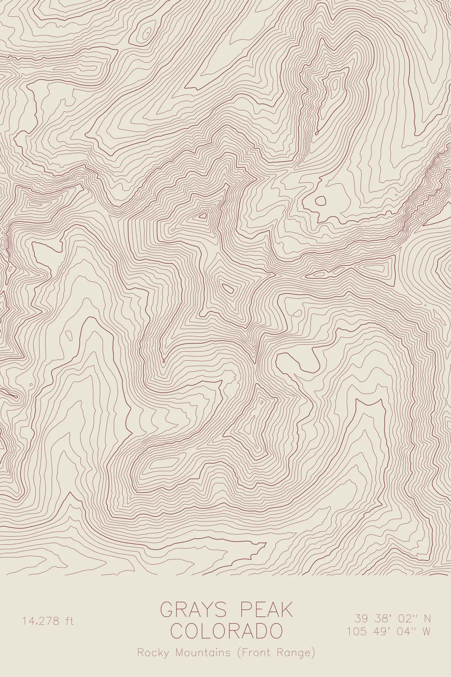
A pen-plotted topographic map of Grays Peak in the Front Range, Colorado, drawn from real elevation contour data.
Named for botanist Asa Gray in 1861, eleven years before he first saw it.
$54
Ink & paper: Black
Size: 12×18"
+Personalize this map
+ Details
- 12 × 18 inches
- Drawn on 98 lb (160 gsm) archival cotton paper
- Precision technical pens and archival inks
- Signed and dated on the back
- Ships flat, protected, ready to frame
Each map begins with elevation data and is drawn by a pen plotter in our Vermont studio. Mechanical precision, plus the texture and small imperfections of real ink on paper.
Off the screen
In real rooms



















+ About this map
Asa Gray had a 14,278-foot mountain named after him in 1861 and did not lay eyes on it for another eleven years. The botanist Charles C. Parry made the first recorded ascent that year and named the peak for his colleague. Gray finally turned up on August 14, 1872, when Parry hosted a formal dedication and Gray climbed his own mountain, with his wife Jane Loring Gray and a party of local citizens in attendance. The summit is the highest point on the Continental Divide in North America, and the neighboring Torreys Peak, across a high saddle, honors Gray’s colleague John Torrey.
This map shows the twin geometry that hikers know well. The contour lines trace the broad saddle connecting Grays and Torreys and the long crest of the Divide running through both summits. On the eastern side the lines curve through the glacial basins above Stevens Gulch, where the standard trail switchbacks toward the top, while the gentler western slopes fall away toward the valleys on the far side of the Divide.
+ Map details
- Grays Peak
- Colorado
- United States
- Rocky Mountains (Front Range)
- Rocky Mountains
- 14,278 ft / 4,352 m
- 39.6339N 105.8178W
- Mountain topographic map
- Original pen plot, archival ink on cotton paper
- 8 × 12 in · 12 × 18 in · 18 × 24 in
- Highest point on the Continental Divide
More maps