Colorado
Handies Peak
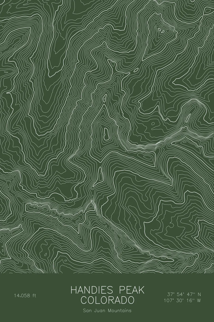
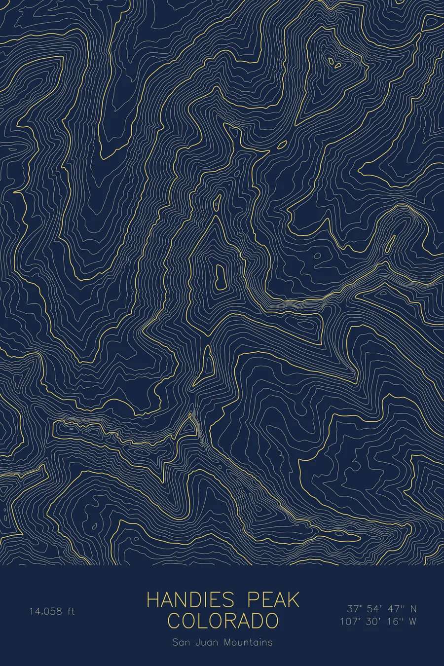
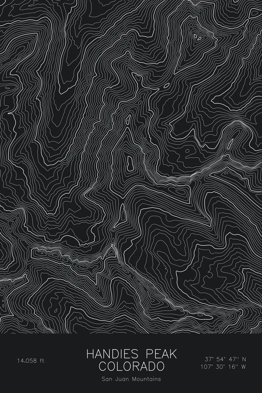
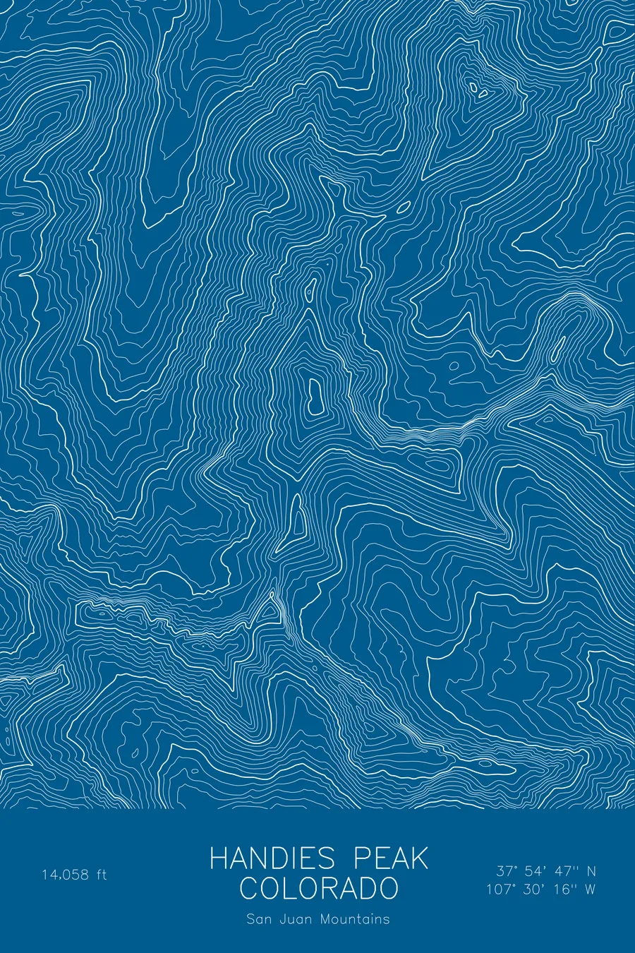
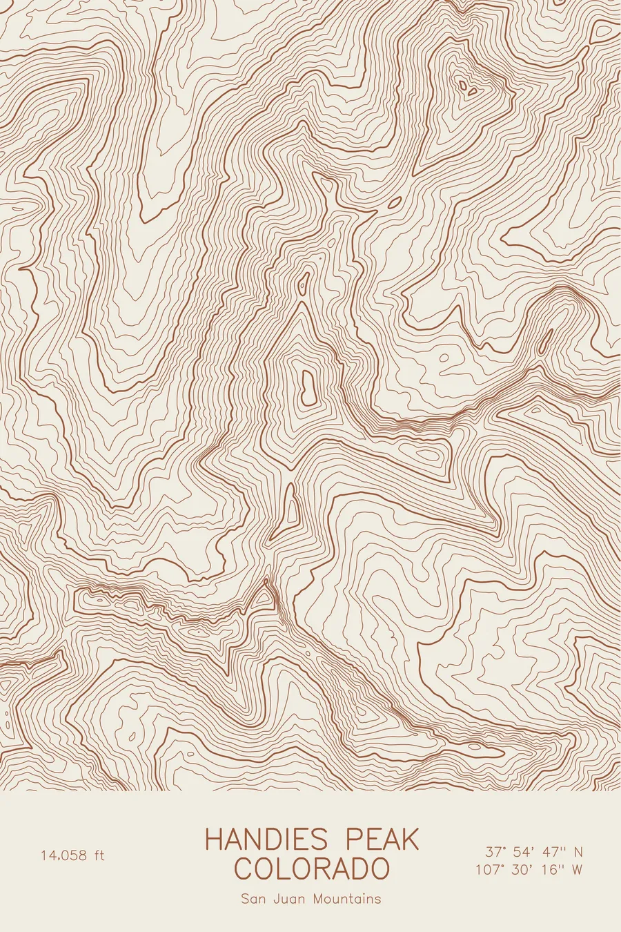
A pen-plotted topographic map of Handies Peak in the San Juan Mountains, Colorado, drawn from real elevation contour data.
Gentle San Juan 14er above the wildflowers of American Basin near Lake City. 14,058 feet above sea level.
$54
Ink & paper: Blue
Size: 12×18"
+Personalize this map
+ Details
- 12 × 18 inches
- Drawn on 98 lb (160 gsm) archival cotton paper
- Precision technical pens and archival inks
- Signed and dated on the back
- Ships flat, protected, ready to frame
Each map begins with elevation data and is drawn by a pen plotter in our Vermont studio. Mechanical precision, plus the texture and small imperfections of real ink on paper.
Off the screen
In real rooms



















+ About this map
Handies Peak rises to 14,058 feet in the San Juan Mountains of southwestern Colorado, above the wildflower meadows of American Basin near Lake City. Among the fourteeners it is one of the gentlest, a rounded summit with easy grass and tundra slopes, and its high trailheads make it one of the most approachable high summits in the San Juans. Sloan Lake sits in the basin below the summit.
This map shows a softer form of mountain. The contour lines around Handies are evenly spaced and rounded rather than jagged, spreading out into the broad floors of American Basin on the west and Grizzly Gulch on the east. The summit is a smooth dome rather than a spire. The elevation on this sheet spans a relatively narrow band, from about 11,000 feet to the 14,058-foot summit, all of it high country.
+ Map details
- Handies Peak
- Colorado
- United States
- San Juan Mountains
- San Juan Mountains
- 14,058 ft / 4,285 m
- 37.9130N 107.5044W
- Mountain topographic map
- Original pen plot, archival ink on cotton paper
- 8 × 12 in · 12 × 18 in · 18 × 24 in
- Gentle San Juan 14er above the wildflowers of American Basin near Lake City
More maps