Wyoming
Jackson Lake
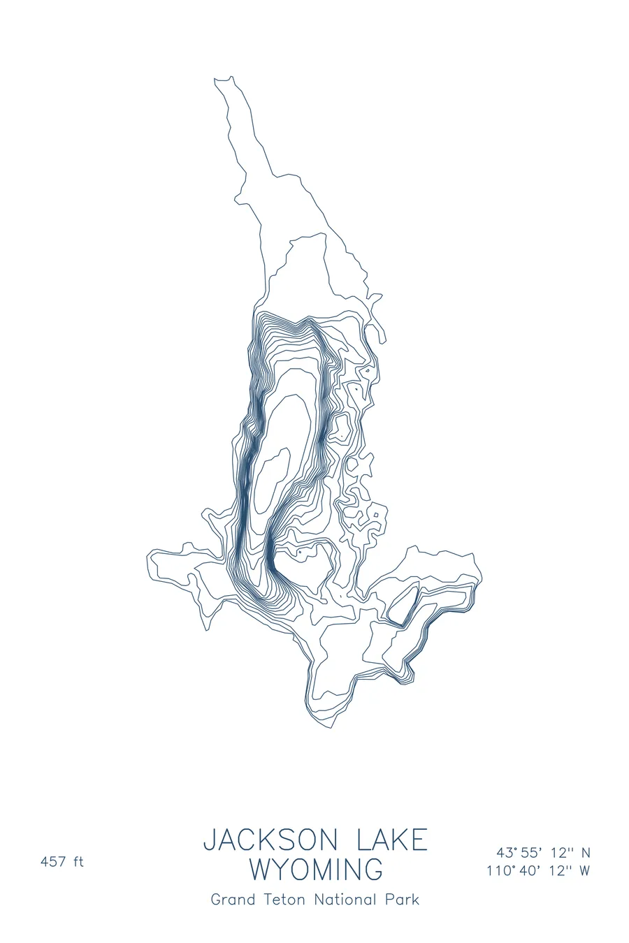
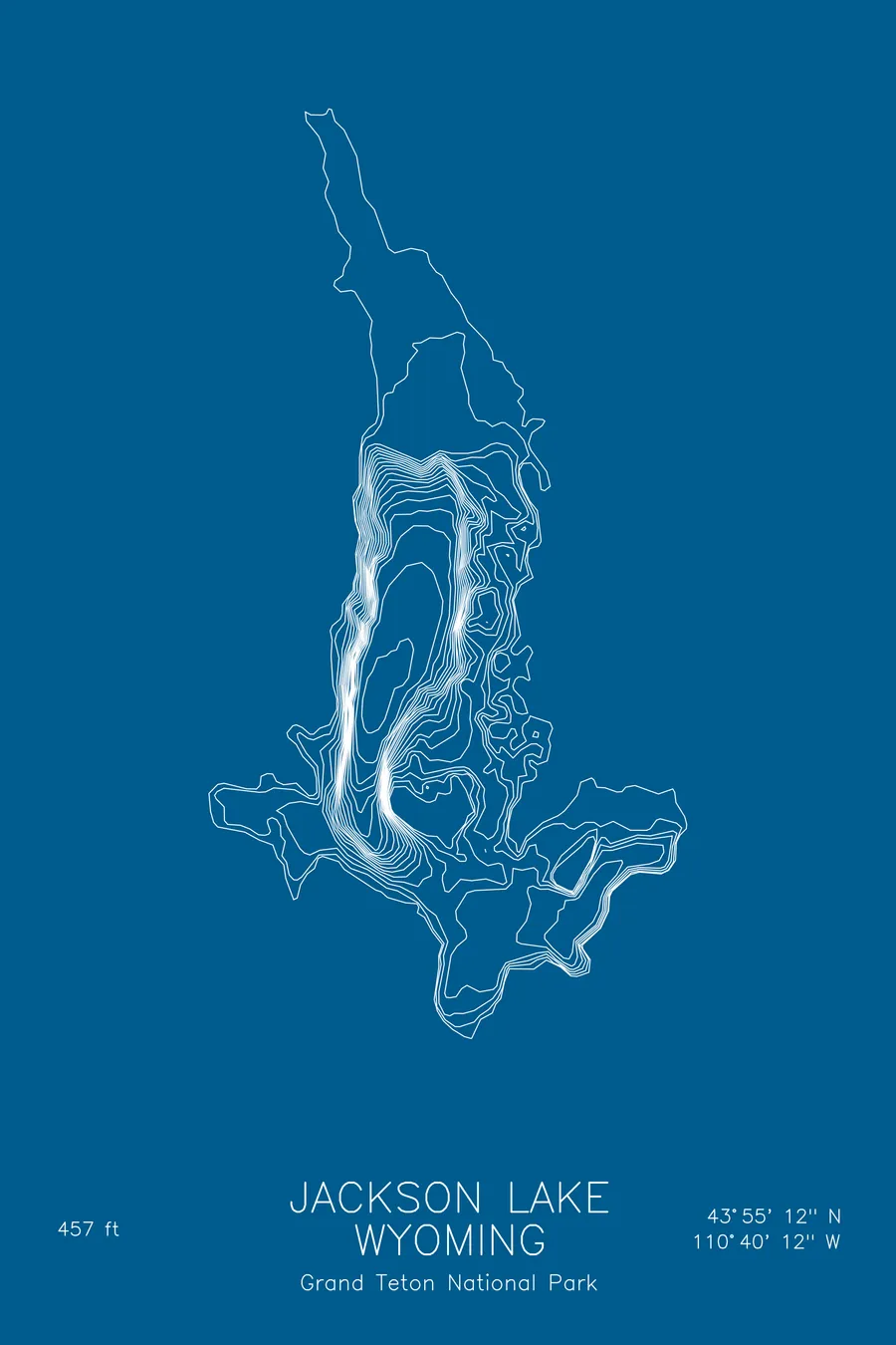
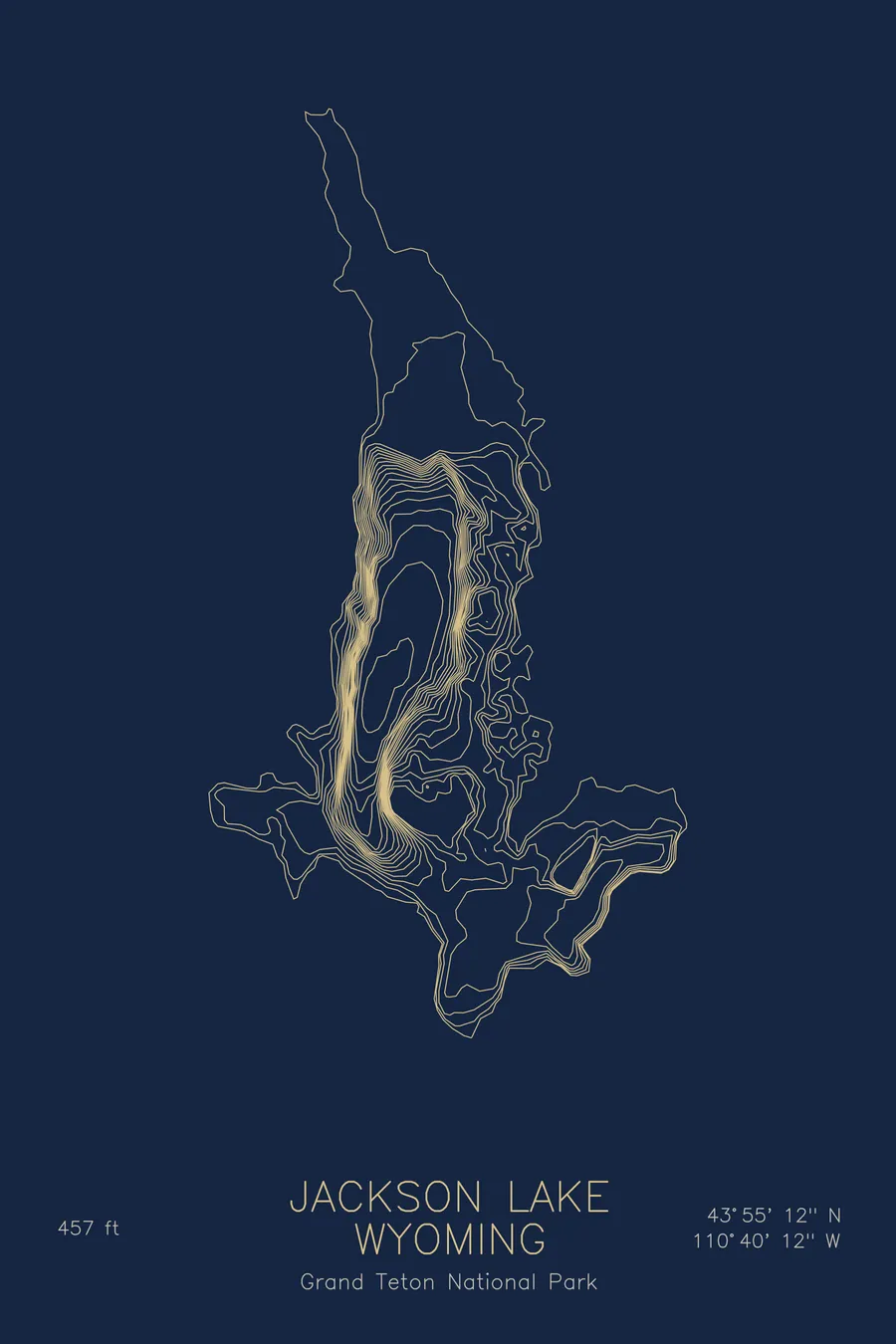
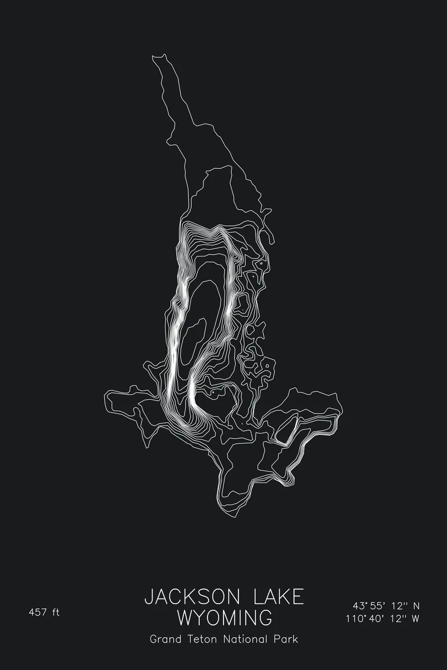
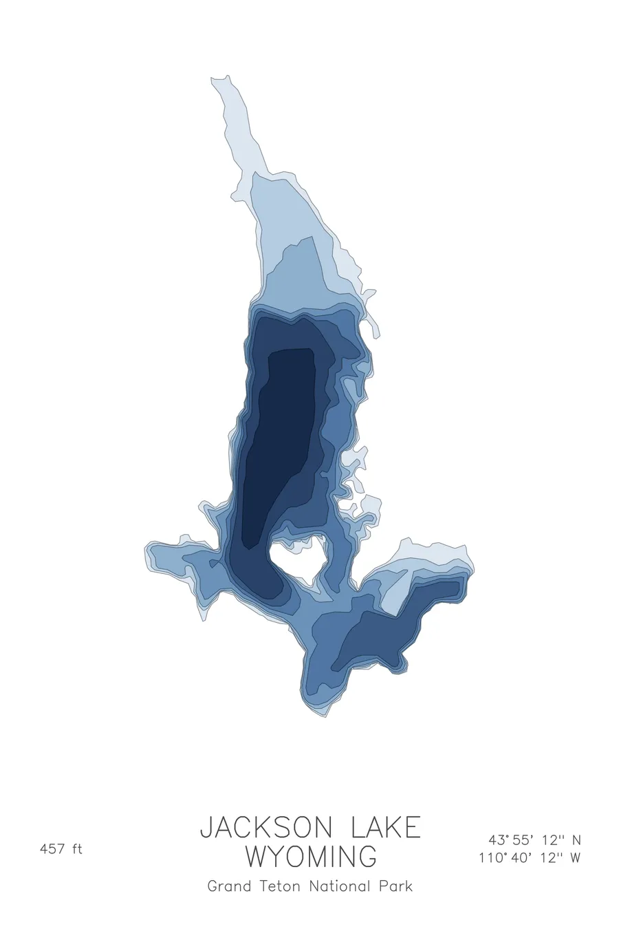
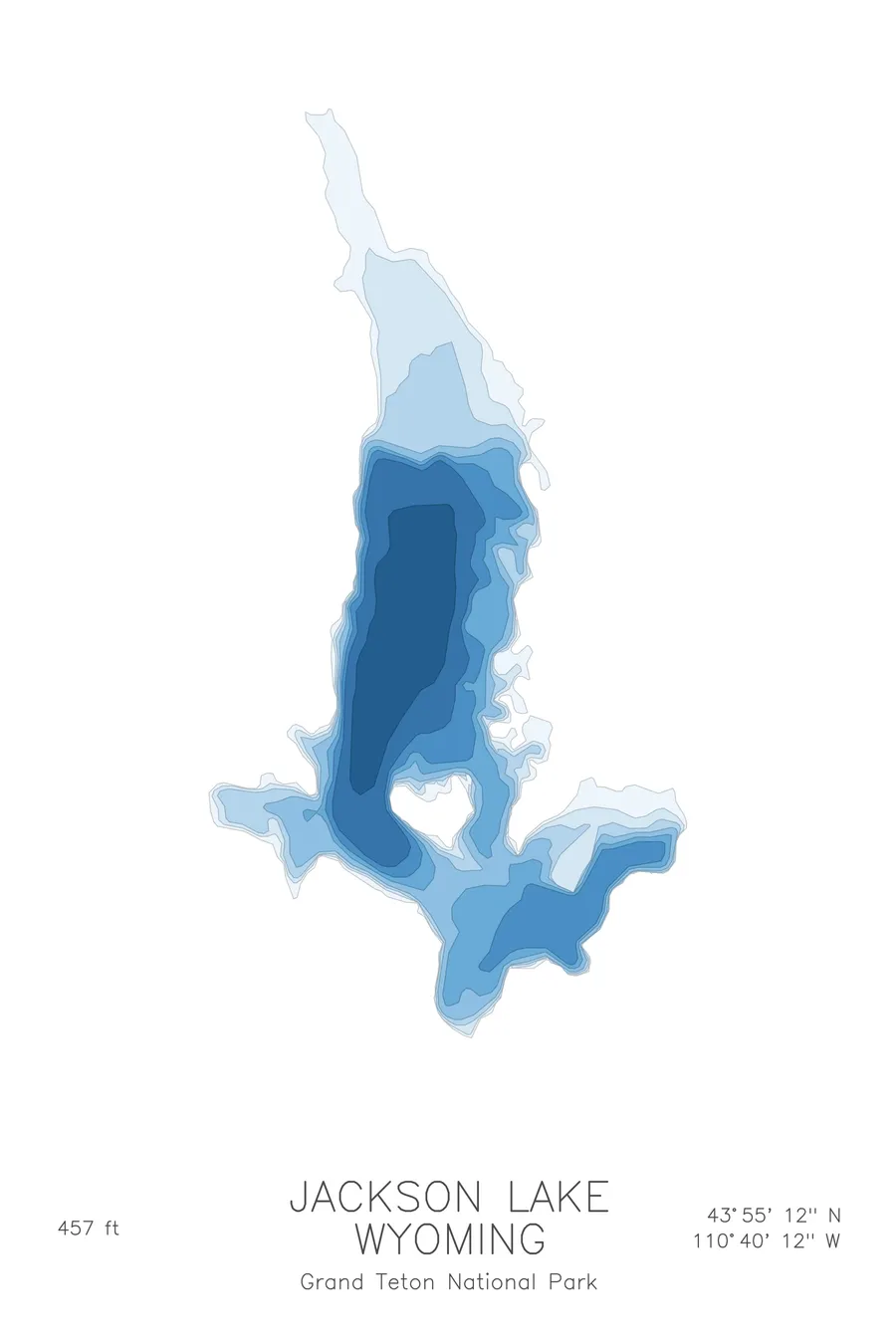
A bathymetric depth map of Jackson Lake, Wyoming, drawn from real lake survey data in a minimalist contour-line design.
Raised 39 feet by an irrigation dam; excluded from Grand Teton National Park until 1950.
$50
Ink & paper: Lake Blue
Size: 12×18"
+Personalize this map
+ Details
- 12 × 18 inches
- Drawn on 98 lb (160 gsm) archival cotton paper
- Precision technical pens and archival inks
- Signed and dated on the back
- Ships flat, protected, ready to frame
Each map begins with elevation data and is drawn by a pen plotter in our Vermont studio. Mechanical precision, plus the texture and small imperfections of real ink on paper.
Off the screen
In real rooms



















+ About this map
One of the most photographed lakes in the Rockies is, on paper, irrigation storage for farms in Idaho. Jackson Lake sits inside Grand Teton National Park, but the Bureau of Reclamation’s dam, built in stages from 1911 to 1916 under the Minidoka Project, raised the natural glacial lake 39 feet to store 847,000 acre-feet for the Snake River basin downstream, an arrangement suggested to the Reclamation Service by lodge owner Benjamin Sheffield, partly so he could build more lodges for wealthy hunters. The first dam, a log-crib structure from 1906-07 that raised the lake 22 feet, rotted and failed in 1910; its concrete replacement was designed by Frank A. Banks, who went on to supervise construction of Grand Coulee Dam.
The depth contours tell the story of that geography. Lines crowd together along the west side, where the lakebed falls away fast beneath the Tetons, then spread into gentler shelves toward the eastern shore. Islands interrupt the pattern as small closed rings, and the northern arms taper into shallow flats where the Snake River enters. The map shows a lake shaped by glaciers and tilted hard against the mountains that made it.
+ Map details
- Jackson Lake
- Wyoming
- United States
- Rocky Mountains
- 43.9200N 110.6700W
- Lake bathymetric depth map
- Original pen plot, archival ink on cotton paper
- 8 × 12 in · 12 × 18 in · 18 × 24 in
- Max depth 457 ft
More maps