Vermont
Jay Peak
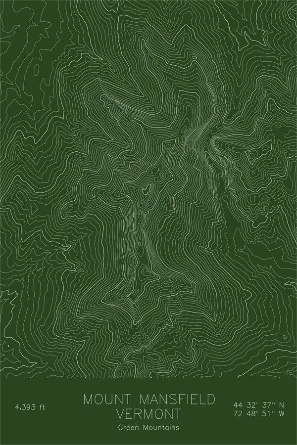
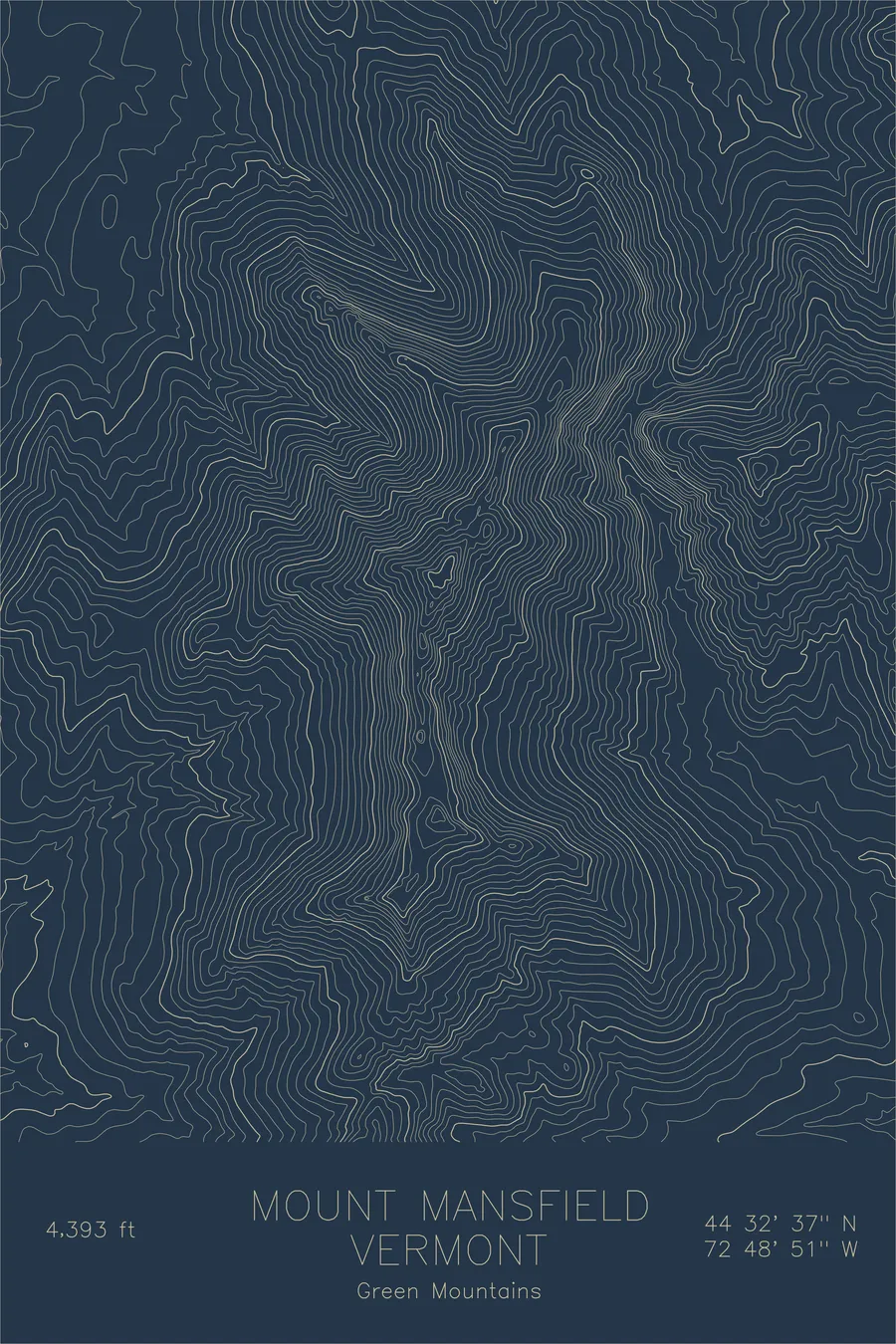
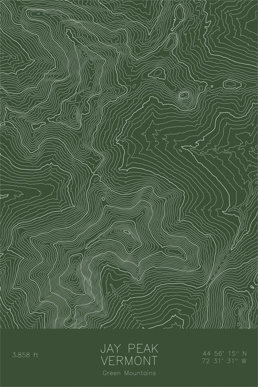
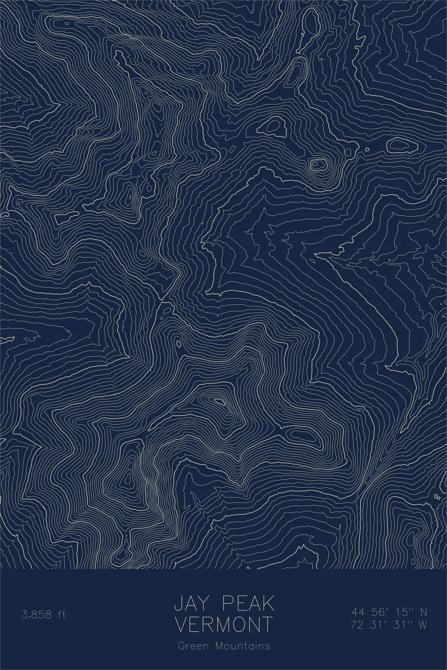
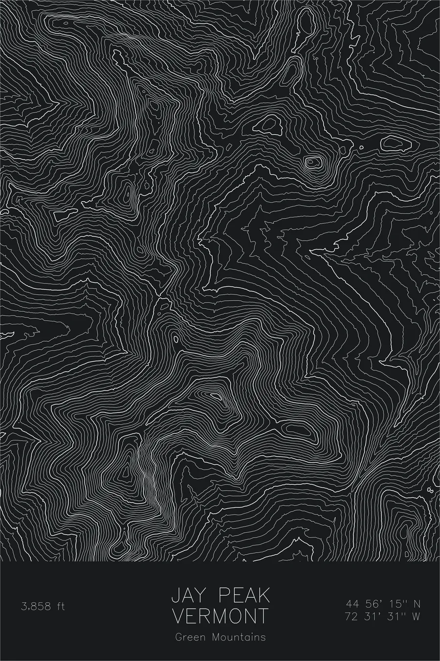
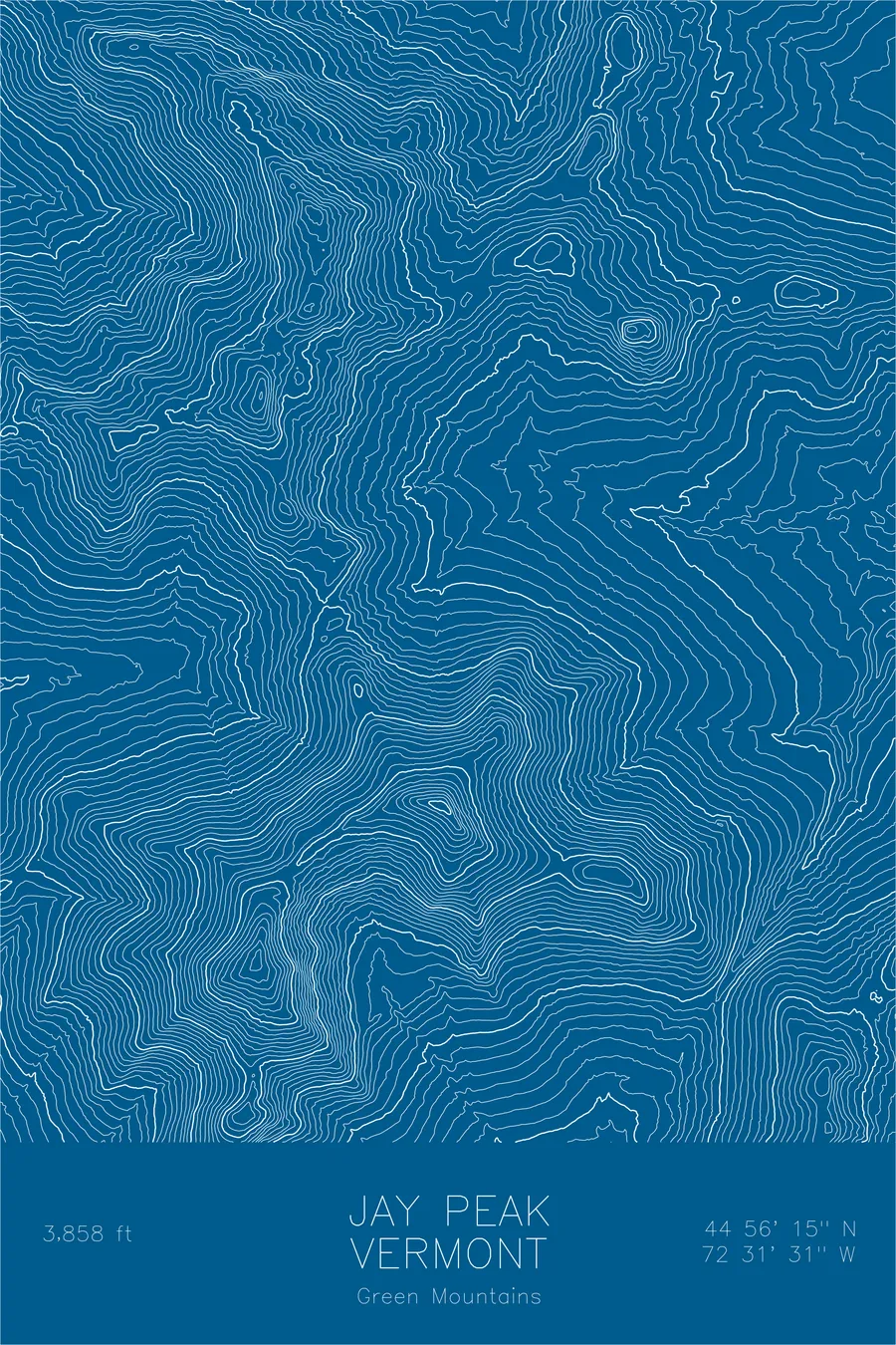
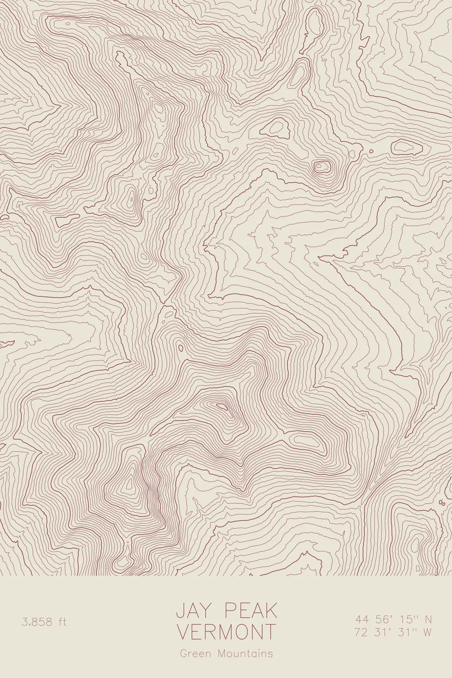
A pen-plotted topographic map of Jay Peak in the Green Mountains, Vermont, drawn from real elevation contour data.
Vermont's northernmost major peak, most snowfall in the East. 3,858 feet above sea level.
$54
Ink & paper: Green
Size: 12×18"
+Personalize this map
+ Details
- 12 × 18 inches
- Drawn on 98 lb (160 gsm) archival cotton paper
- Precision technical pens and archival inks
- Signed and dated on the back
- Ships flat, protected, ready to frame
Each map begins with elevation data and is drawn by a pen plotter in our Vermont studio. Mechanical precision, plus the texture and small imperfections of real ink on paper.
Off the screen
In real rooms



















+ About this map
Jay Peak rises 3,858 feet in the northern Green Mountains of Vermont, the last major summit before the range crosses into Canada. Its exposed position catches moisture moving down from the north and lifts it over the ridge, a pattern skiers call the Jay Cloud, and the mountain famously records more snowfall than any other ski area in the eastern United States. The Long Trail passes directly over the summit on its way to the border.
This map shows a mountain that stands apart. The contour lines rise from low valley farmland with few competing summits nearby, which is exactly why the peak gathers so much weather. The lines trace the ridgeline running west toward Big Jay and the steep eastern flank that holds the ski terrain, a compact massif standing alone above the border country.
+ Map details
- Jay Peak
- Vermont
- United States
- Green Mountains
- New England
- 3,858 ft / 1,175 m
- 44.9375N 72.5253W
- Mountain topographic map
- Original pen plot, archival ink on cotton paper
- 8 × 12 in · 12 × 18 in · 18 × 24 in
- Vermont's northernmost major peak, most snowfall in the East
More maps