Tanzania
Kilimanjaro
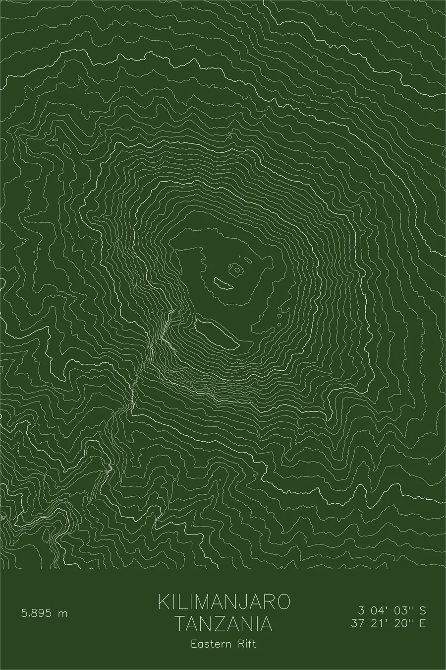
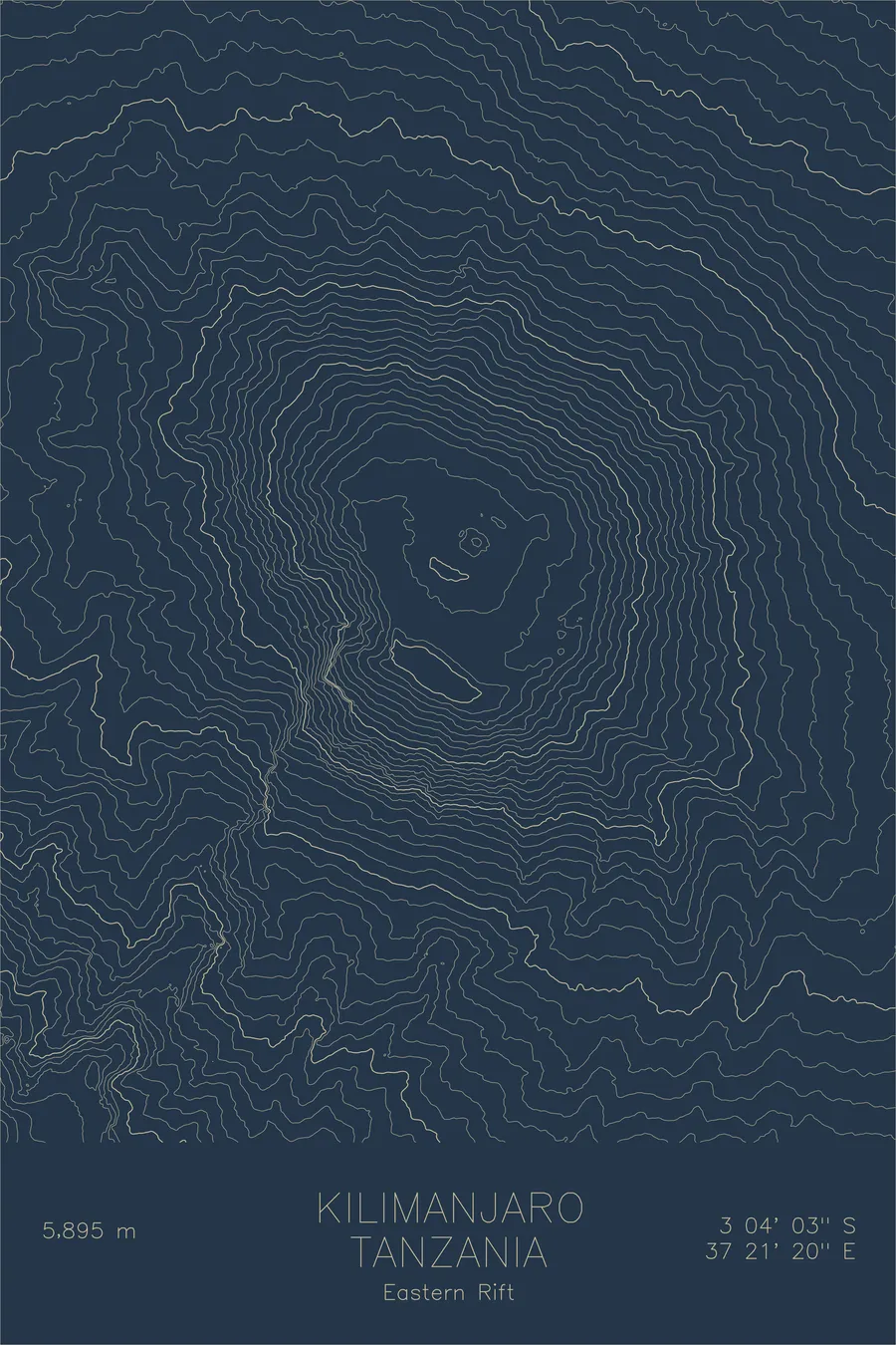
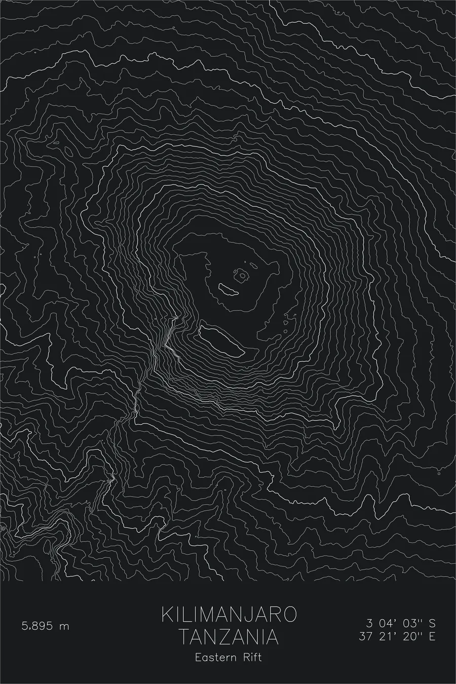
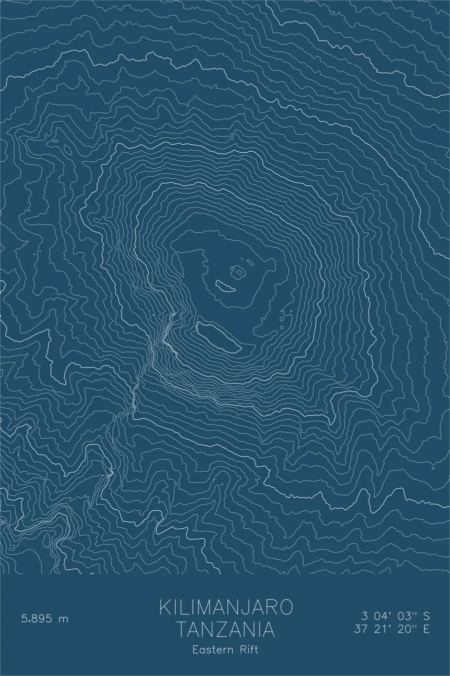
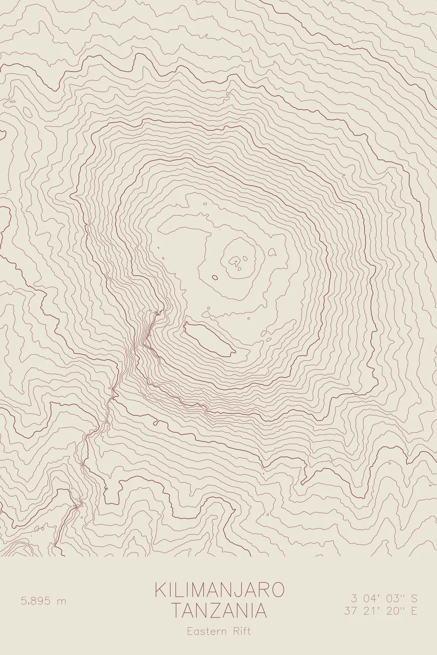
A pen-plotted topographic map of Kilimanjaro in the Eastern Rift, Tanzania, drawn from real elevation contour data.
Volcano. The highest peak in Africa and the tallest freestanding mountain in the world. 19,341 feet above sea level.
$54
Ink & paper: Cream
Size: 12×18"
+Personalize this map
+ Details
- 12 × 18 inches
- Drawn on 98 lb (160 gsm) archival cotton paper
- Precision technical pens and archival inks
- Signed and dated on the back
- Ships flat, protected, ready to frame
Each map begins with elevation data and is drawn by a pen plotter in our Vermont studio. Mechanical precision, plus the texture and small imperfections of real ink on paper.
Off the screen
In real rooms



















+ About this map
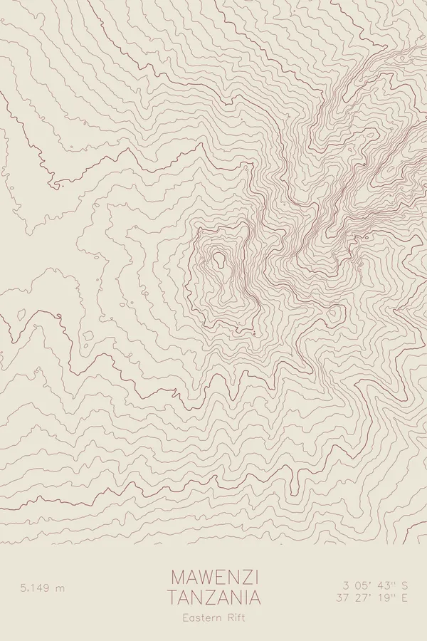
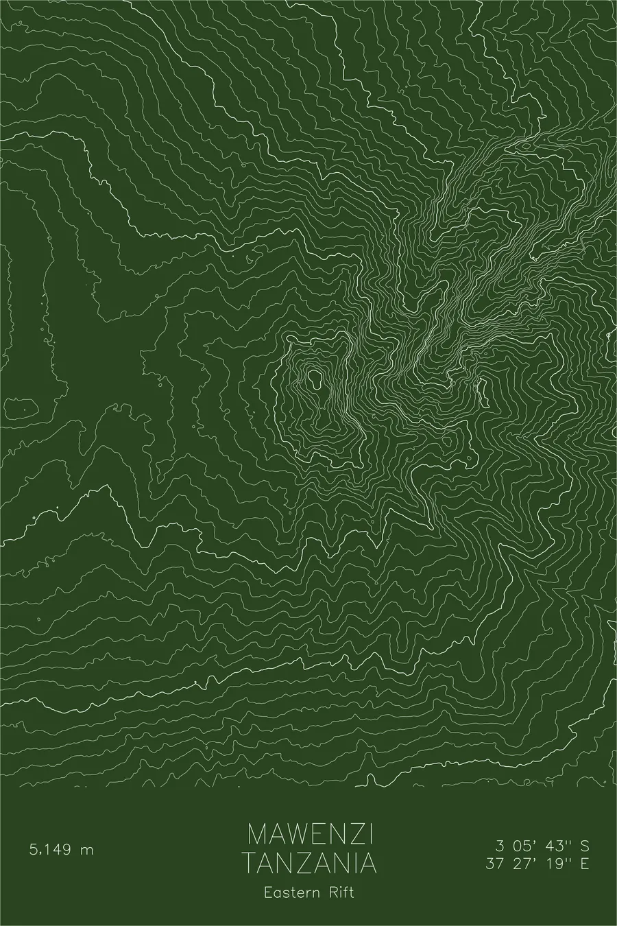
Kilimanjaro rises 19,341 feet above sea level from the plains of northeastern Tanzania, a massive stratovolcano and the highest point on the African continent. Unlike most mountains of its stature, it stands alone. No surrounding range, no neighboring peaks of comparable height. Three volcanic cones make up the massif: Kibo, the youngest and tallest, still holds a crater and remnant glaciers at its summit; Mawenzi, older and more eroded, juts up as a jagged spire to the east; and Shira, the oldest, has collapsed into a broad plateau to the west.
This map traces the sweeping symmetry of Kibo’s upper cone, where contour lines radiate outward in broad, even arcs from the summit crater. The lines tighten where glacial valleys and erosion channels cut into the slopes, and spread wide across the saddle that connects Kibo to Mawenzi. The overall shape is unmistakable: an enormous volcanic dome rising from a flat plain, its isolation making every contour line a record of a single mountain’s slow construction from the earth below.
+ Map details
- Kilimanjaro
- Tanzania
- Eastern Rift
- East Africa
- 19,341 ft / 5,895 m
- 3.0674S 37.3556E
- Mountain topographic map
- Original pen plot, archival ink on cotton paper
- 8 × 12 in · 12 × 18 in · 18 × 24 in
- Volcano. The highest peak in Africa and the tallest freestanding mountain in the world
More maps