Ethiopia
Ras Dashen
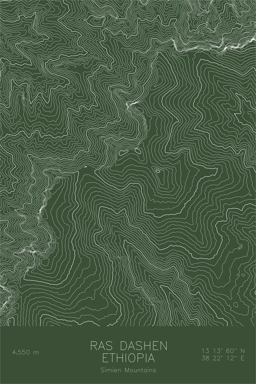
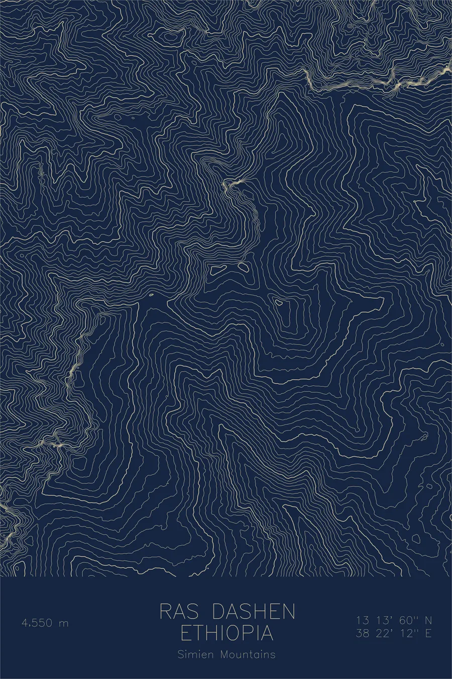
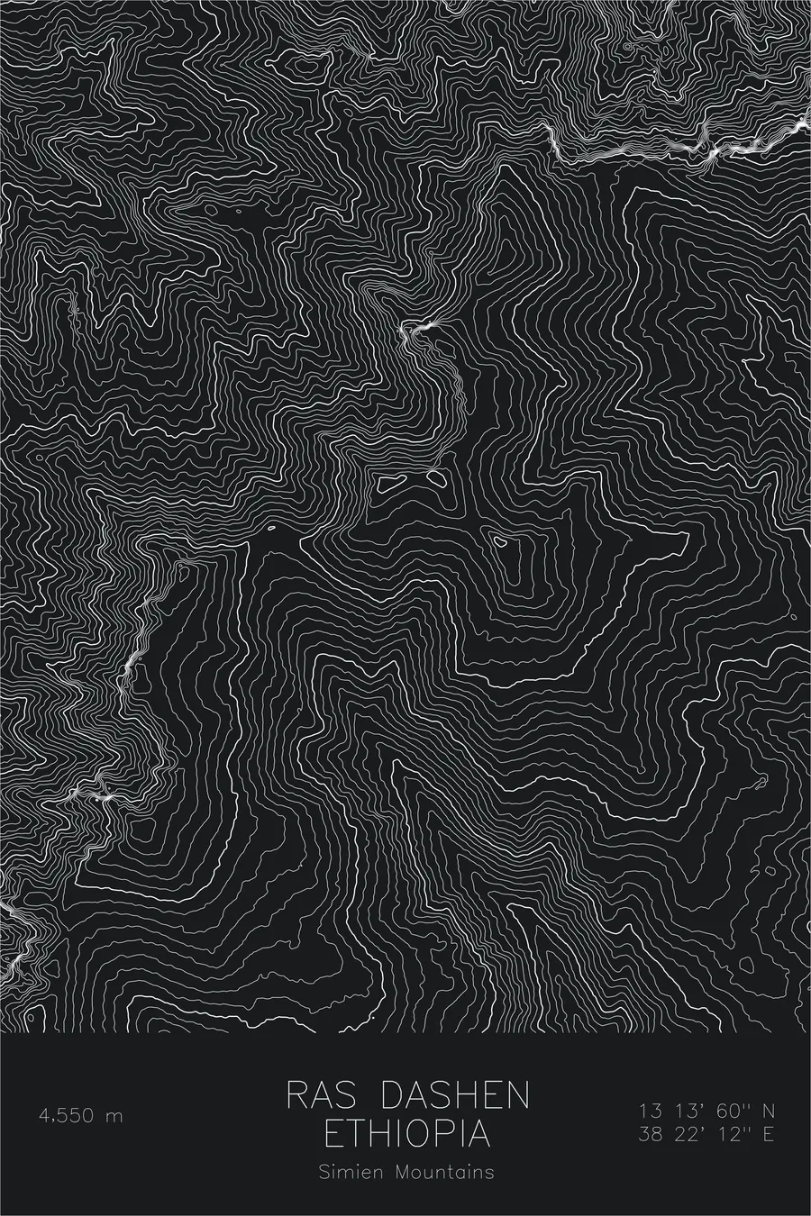
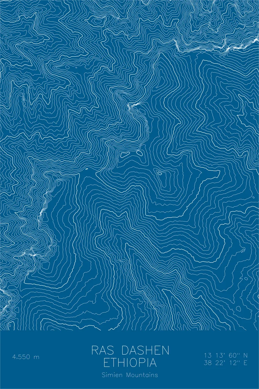
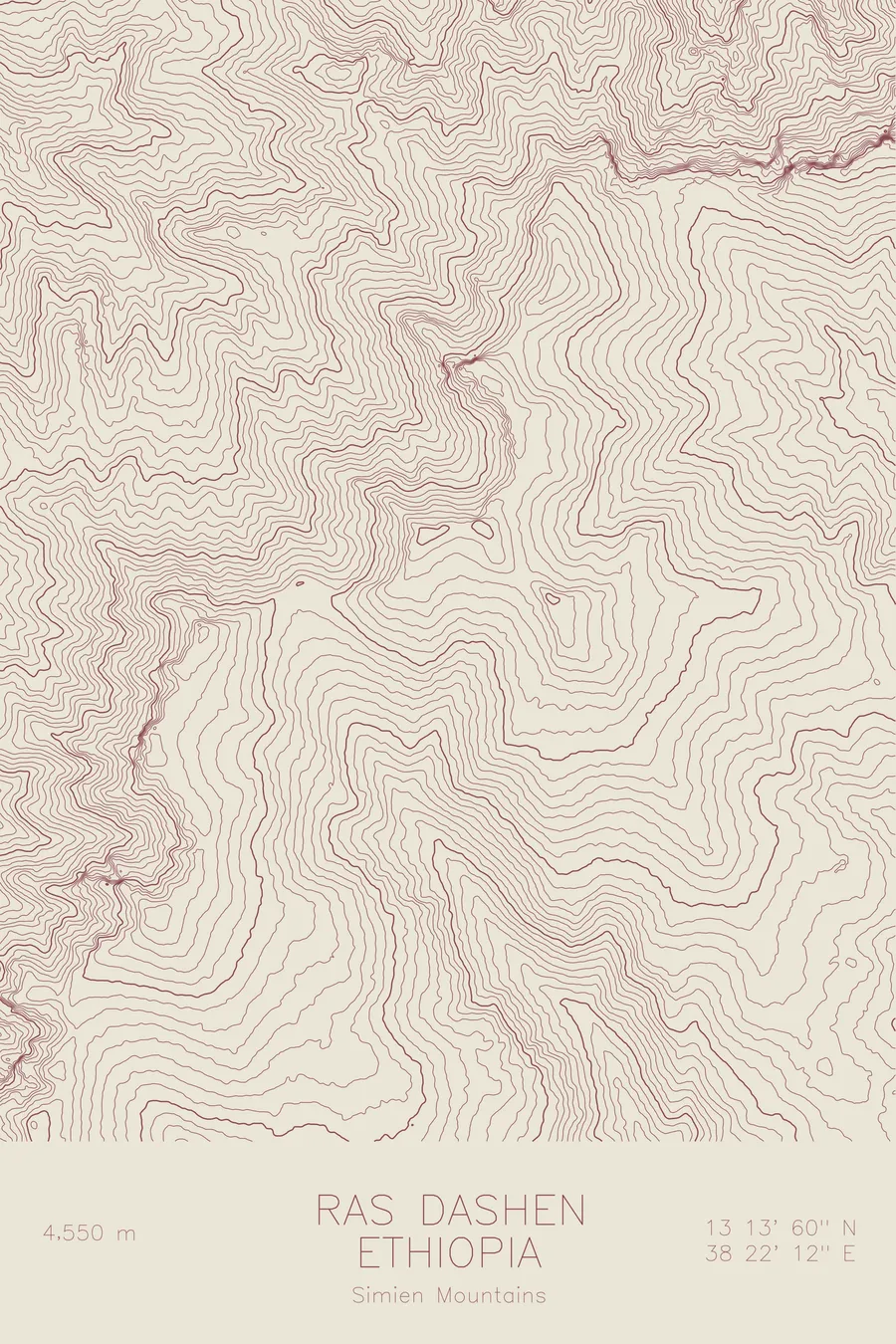
A pen-plotted topographic map of Ras Dashen in the Simien Mountains, Ethiopia, drawn from real elevation contour data.
Highest peak in Ethiopia. 14,928 feet above sea level.
$54
Ink & paper: Cream
Size: 12×18"
+Personalize this map
+ Details
- 12 × 18 inches
- Drawn on 98 lb (160 gsm) archival cotton paper
- Precision technical pens and archival inks
- Signed and dated on the back
- Ships flat, protected, ready to frame
Each map begins with elevation data and is drawn by a pen plotter in our Vermont studio. Mechanical precision, plus the texture and small imperfections of real ink on paper.
Off the screen
In real rooms



















+ About this map
Ras Dashen rises 14,928 feet in the Simien Mountains, the highest peak in Ethiopia and one of the highest summits in Africa. It is not a mountain in the classic sense but the high point of an ancient volcanic plateau, built from layered basalt and then cut apart by millions of years of erosion. The surrounding Simien massif, protected as a national park, is home to gelada monkeys and the endangered walia ibex, wildlife found nowhere else on Earth.
This map shows topography turned inside out. Instead of a cone rising from a plain, the contour lines describe a broad tableland dissected by enormous gorges, with escarpment walls that drop thousands of feet in tight bands of lines. Flat-topped ridges and isolated buttes stand between the drainages that carry water down toward the Tekeze River. The print captures the strange architecture of the Simiens, a landscape often compared to a fortress of rock rising above the Ethiopian highlands.
+ Map details
- Ras Dashen
- Ethiopia
- Simien Mountains
- East Africa
- 14,928 ft / 4,550 m
- 13.2333N 38.3700E
- Mountain topographic map
- Original pen plot, archival ink on cotton paper
- 8 × 12 in · 12 × 18 in · 18 × 24 in
- Highest peak in Ethiopia
More maps