Tanzania
Kilimanjaro / Mawenzi
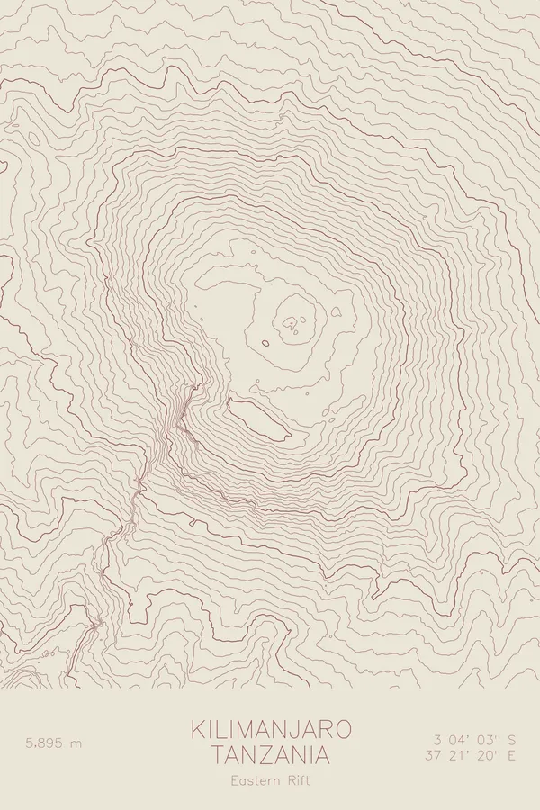
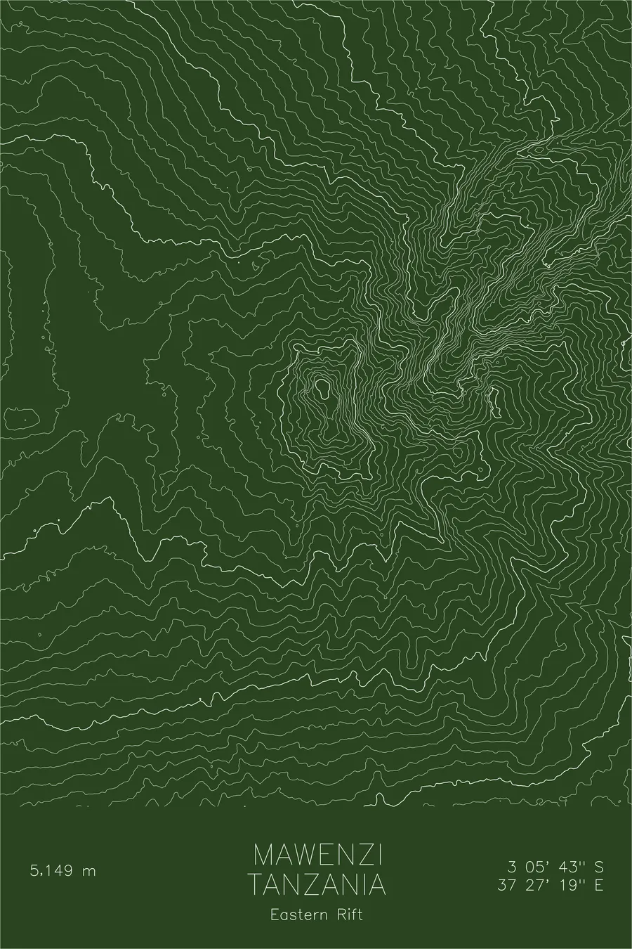
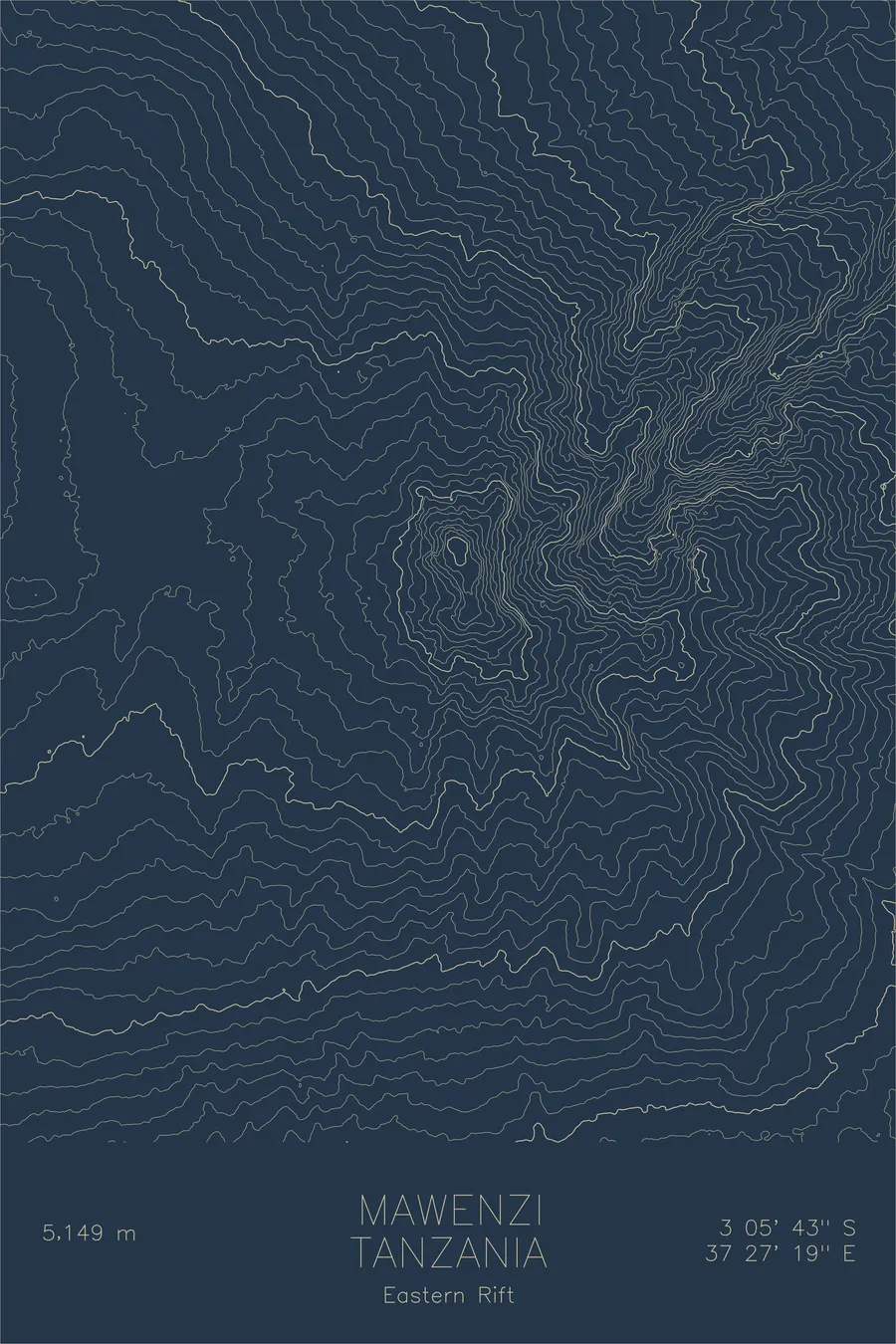
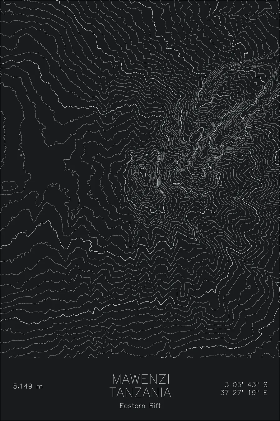
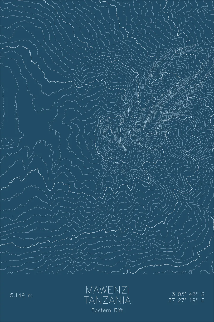
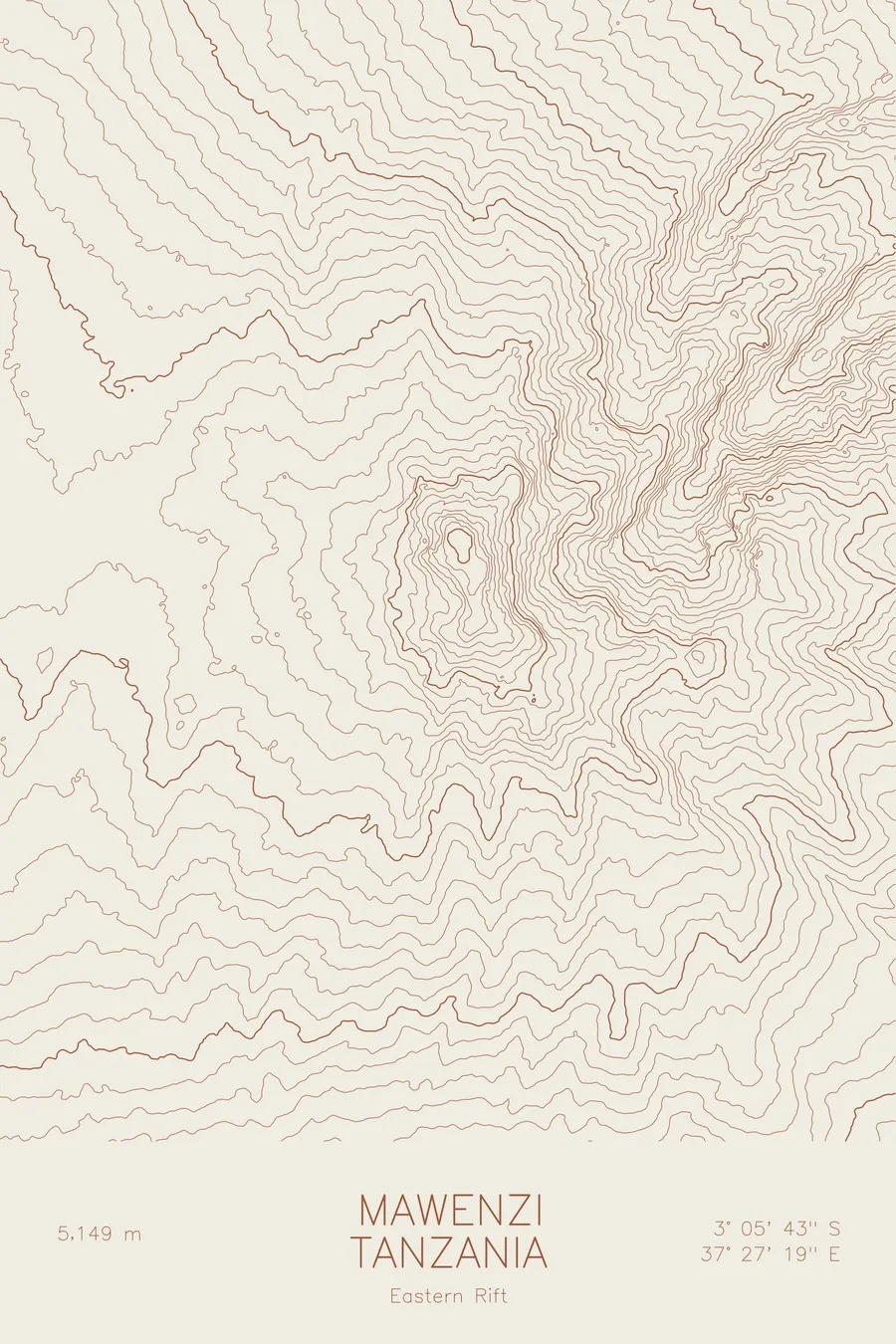
A pen-plotted topographic map of Kilimanjaro / Mawenzi in the Eastern Rift Mountains, Tanzania, drawn from real elevation contour data.
Kilimanjaro's rugged secondary peak, a dramatic volcanic spire rarely climbed. 16,893 feet above sea level.
$54
Ink & paper: Cream
Size: 12×18"
+Personalize this map
+ Details
- 12 × 18 inches
- Drawn on 98 lb (160 gsm) archival cotton paper
- Precision technical pens and archival inks
- Signed and dated on the back
- Ships flat, protected, ready to frame
Each map begins with elevation data and is drawn by a pen plotter in our Vermont studio. Mechanical precision, plus the texture and small imperfections of real ink on paper.
Off the screen
In real rooms



















+ About this map
Mawenzi is the other peak on Kilimanjaro, the one most people never see up close. While Uhuru gets the crowds, Mawenzi rises to 16,893 feet on Kilimanjaro’s eastern shoulder, the deeply eroded remnant of one of the massif’s three volcanic cones. It is a technical climb requiring rock skills and route-finding, with no maintained trail to its summit. The peak’s eroded spires and deep gullies give it a character entirely different from the smooth glacial dome of Kibo next door.
This map captures that contrast in the contour lines. Where Kibo’s topography flows in broad, gentle arcs, Mawenzi’s lines fracture into tight, angular patterns that reflect the peak’s broken volcanic architecture. The steep ravines on the eastern face compress into near-vertical bands of elevation, while the saddle connecting Mawenzi to Kibo stretches out in a wide, high-altitude plateau above 14,000 feet.
+ Map details
- Kilimanjaro / Mawenzi
- Tanzania
- Eastern Rift Mountains
- East Africa
- 16,893 ft / 5,149 m
- 3.0953S 37.4553E
- Mountain topographic map
- Original pen plot, archival ink on cotton paper
- 8 × 12 in · 12 × 18 in · 18 × 24 in
- Kilimanjaro's rugged secondary peak, a dramatic volcanic spire rarely climbed
More maps