California
Kirkwood
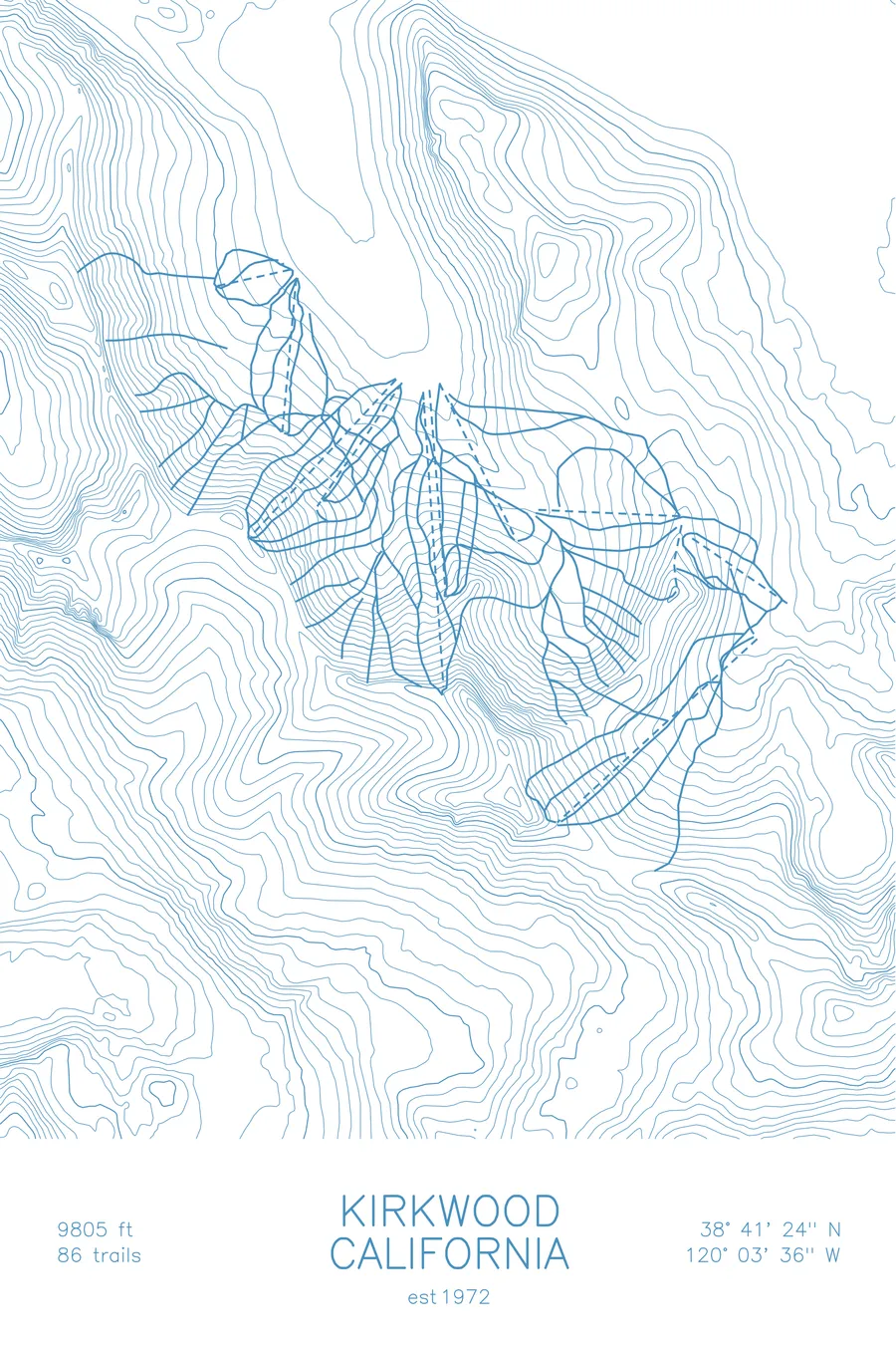
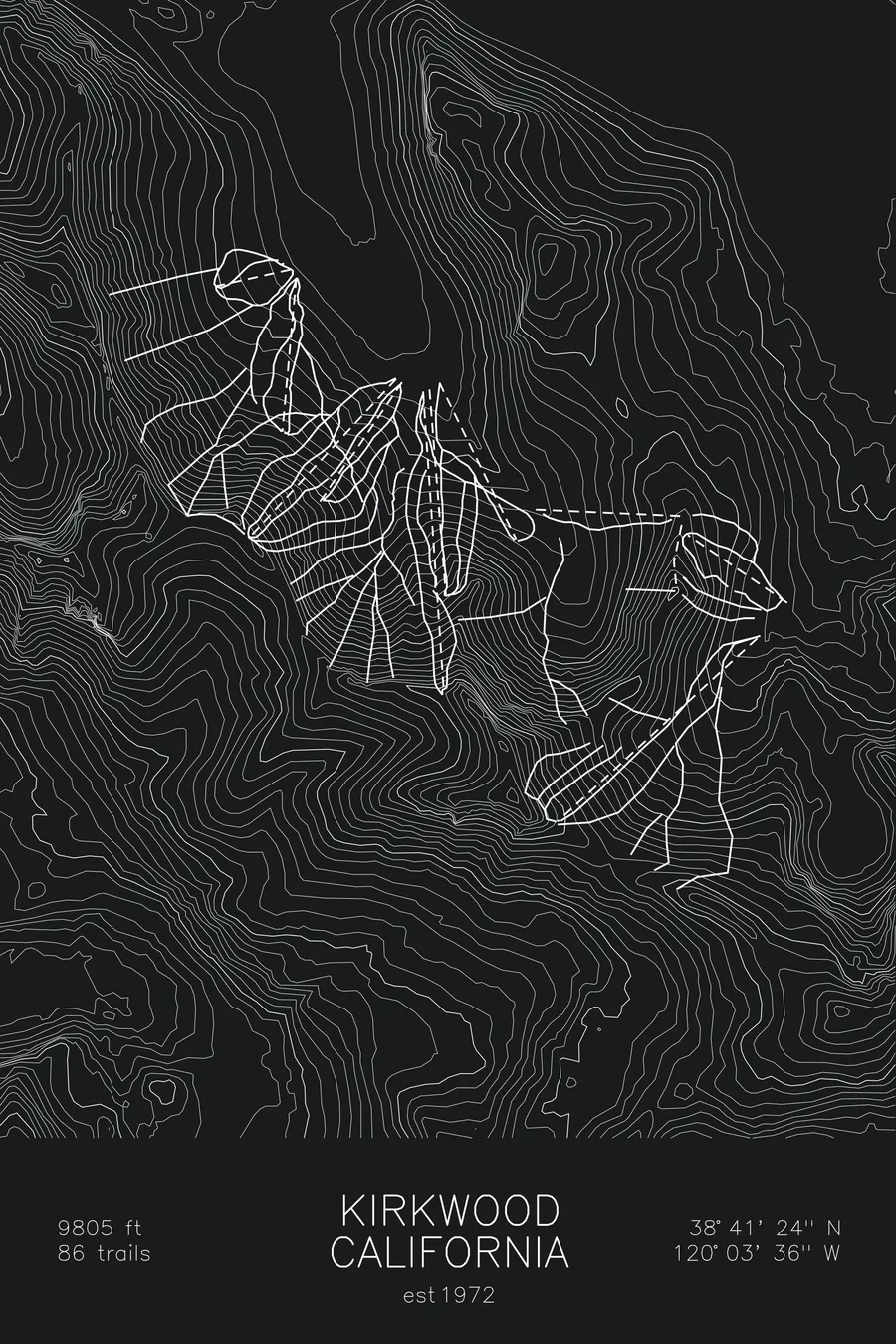
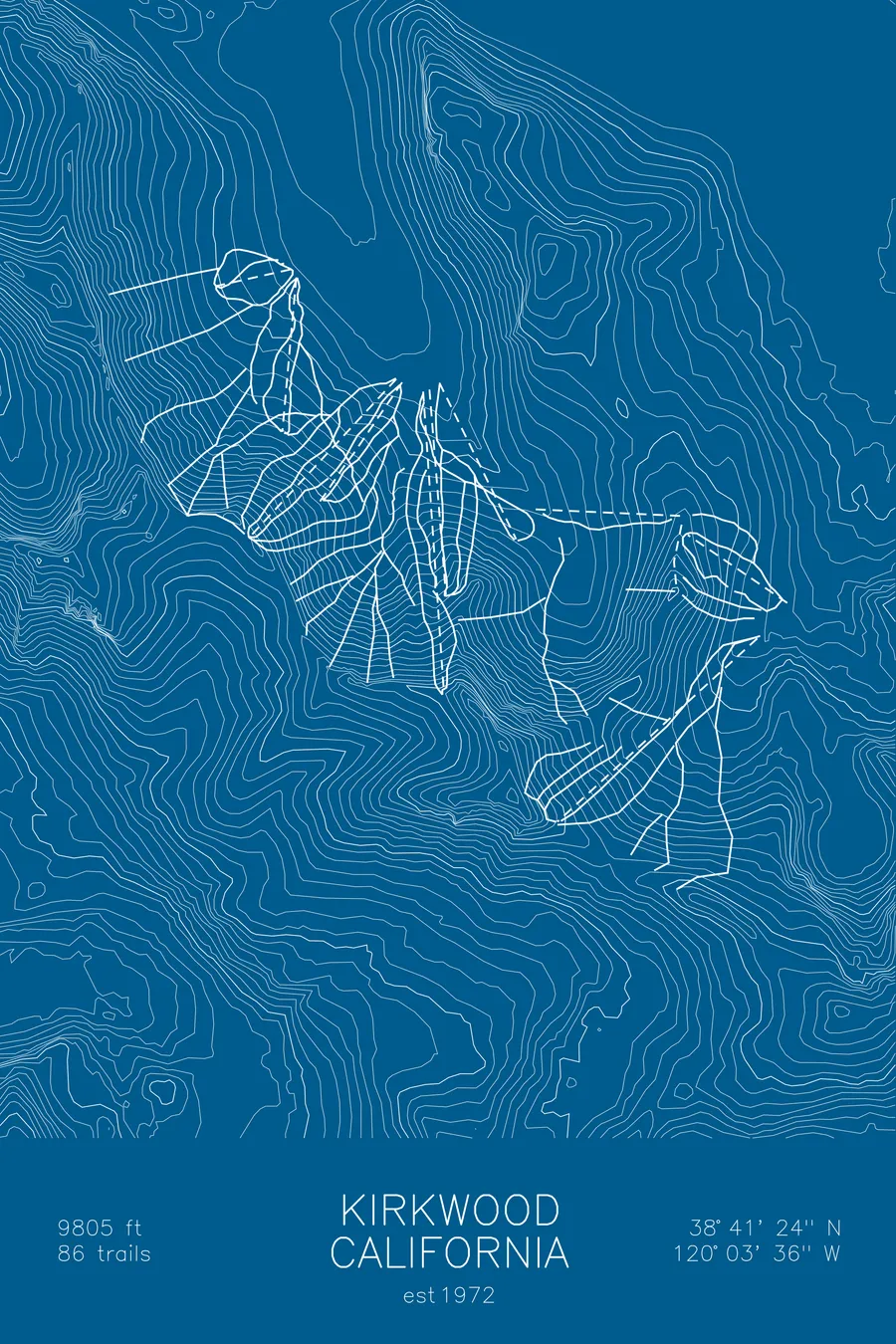
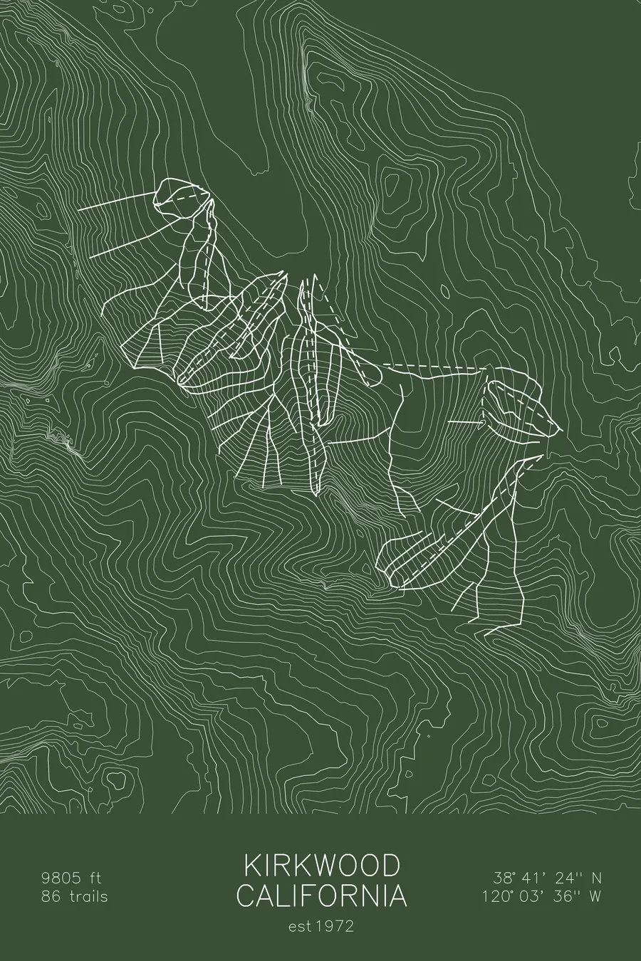
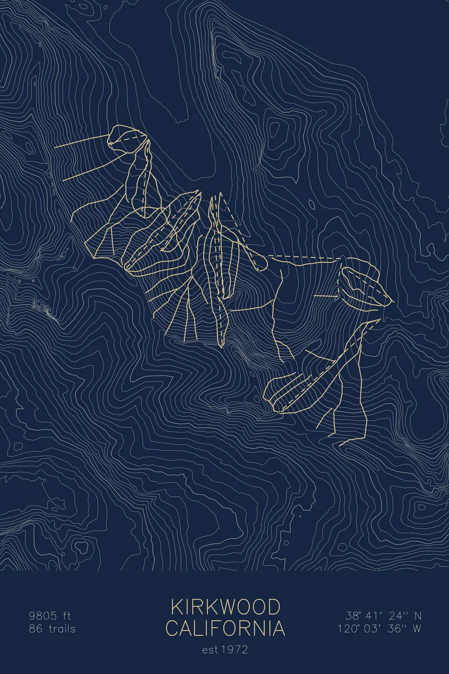
A topographic ski map of Kirkwood, California, with the resort's runs and lifts drawn over real terrain in a minimalist contour-line design.
Not connected to the electric grid until November 1, 2014. Before that, diesel generators.
$63
Ink & paper: Arctic White
Size: 12×18"
+Personalize this map
+ Details
- 12 × 18 inches
- Drawn on 98 lb (160 gsm) archival cotton paper
- Precision technical pens and archival inks
- Signed and dated on the back
- Ships flat, protected, ready to frame
Each map begins with elevation data and is drawn by a pen plotter in our Vermont studio. Mechanical precision, plus the texture and small imperfections of real ink on paper.
Off the screen
In real rooms



















+ About this map
The bar at the Kirkwood Inn was built on wheels, so that when law enforcement from one county walked in during Prohibition, it could be rolled across the room into another. Zachary Kirkwood built the inn in 1864 at the point where the Alpine, Amador, and El Dorado county lines converged, and the original signpost marking the three-county intersection is still inside the building. The resort around it, at 7,800 feet in the Sierra Nevada south of Lake Tahoe, is one of the snowiest in the region and remote enough that it was not connected to the electric grid until November 1, 2014, having run everything on diesel generators until then.
+ Map details
- Kirkwood
- California
- United States
- California
- 9,805 ft / 2,989 m
- 38.6900N 120.0600W
- Ski resort trail map
- Original pen plot, archival ink on cotton paper
- 8 × 12 in · 12 × 18 in · 18 × 24 in
- Est. 1972. 86 trails
More maps