California
Heavenly
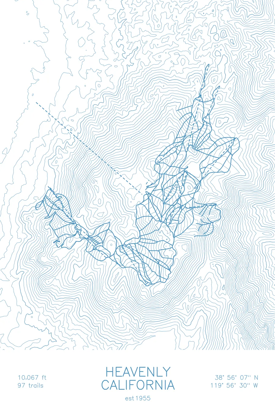
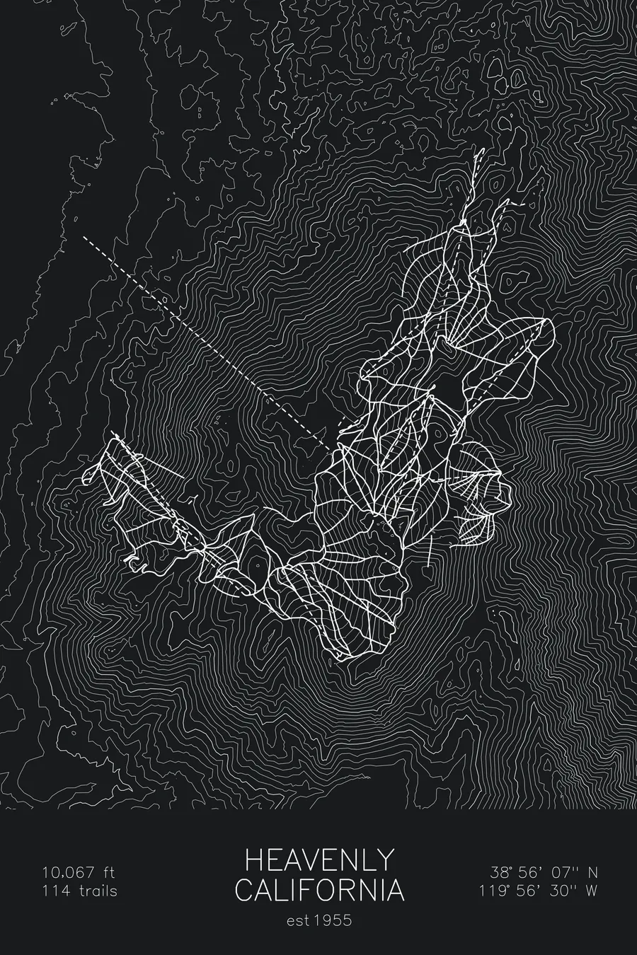
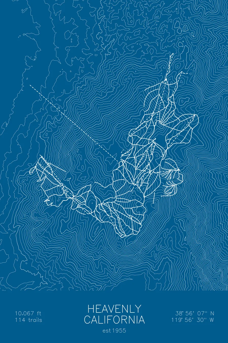
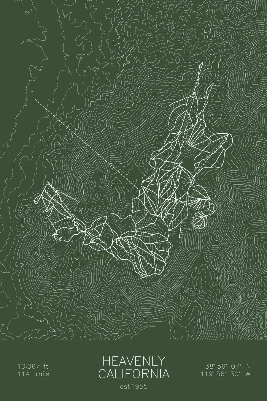
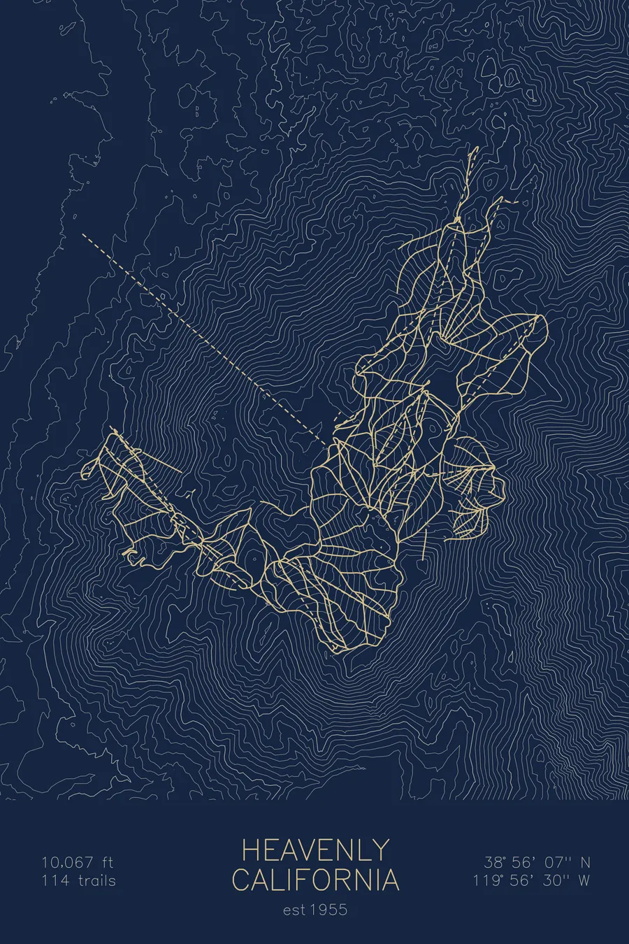
A topographic ski map of Heavenly, California, with the resort's runs and lifts drawn over real terrain in a minimalist contour-line design.
Est. 1955. 97 trails. 10,067 feet above sea level.
$63
Ink & paper: Arctic White
Size: 12×18"
+Personalize this map
+ Details
- 12 × 18 inches
- Drawn on 98 lb (160 gsm) archival cotton paper
- Precision technical pens and archival inks
- Signed and dated on the back
- Ships flat, protected, ready to frame
Each map begins with elevation data and is drawn by a pen plotter in our Vermont studio. Mechanical precision, plus the texture and small imperfections of real ink on paper.
Off the screen
In real rooms



















+ About this map
Heavenly straddles the California-Nevada border above Lake Tahoe, and skiers cross between states mid-run with the lake filling the horizon on the California side and the Carson Valley dropping away to the east. With over 4,800 acres, it’s one of the largest ski areas in the country, and its 3,500 feet of vertical is among the biggest at Tahoe.
Founded in 1955, the resort mixes long groomed cruisers through the pines with steeper terrain in Mott and Killebrew Canyons on the Nevada side, plus the famous Gunbarrel mogul run plunging toward the lake. The contour map shows the Sierra crest rising abruptly from Tahoe’s south shore, with Heavenly’s ridges spread across two states.
+ Map details
- Heavenly
- California
- United States
- California
- 10,067 ft / 3,068 m
- 38.9353N 119.9417W
- Ski resort trail map
- Original pen plot, archival ink on cotton paper
- 8 × 12 in · 12 × 18 in · 18 × 24 in
- Est. 1955. 97 trails
More maps