California
Lake Arrowhead
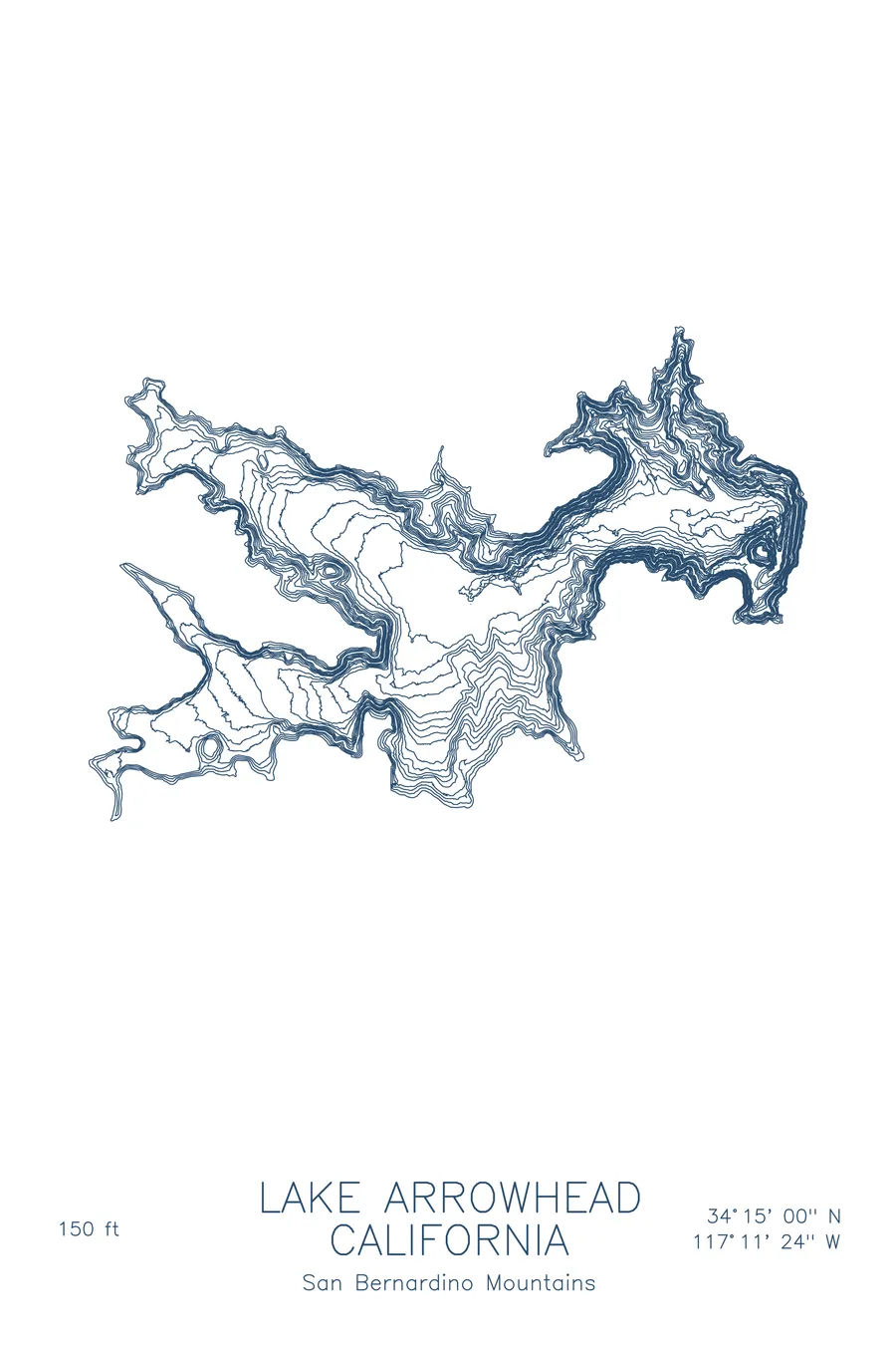
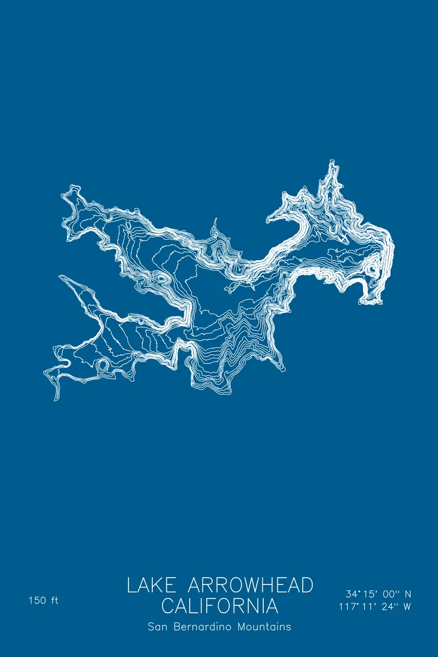
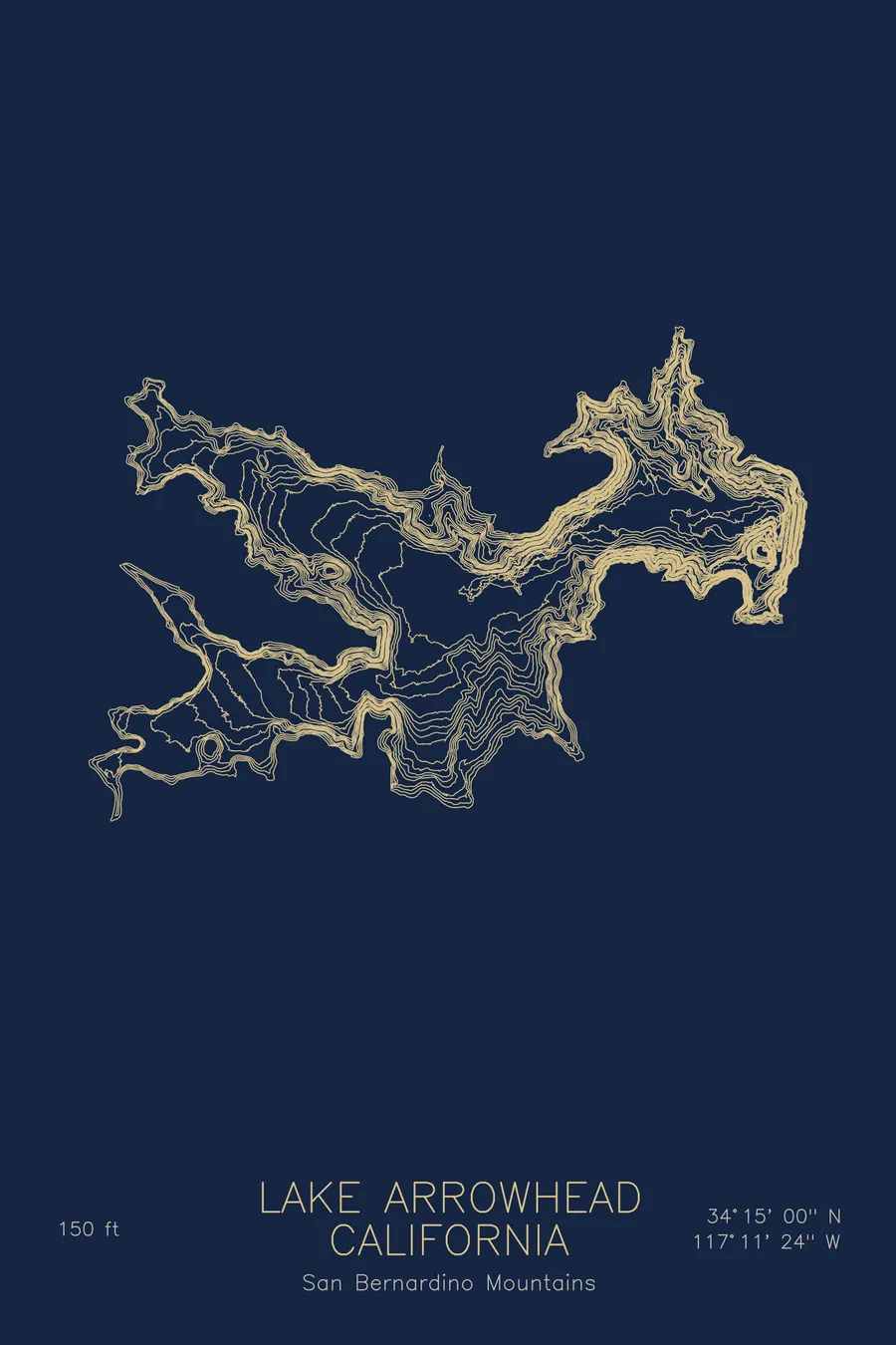
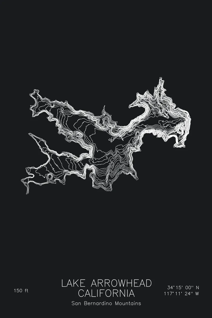
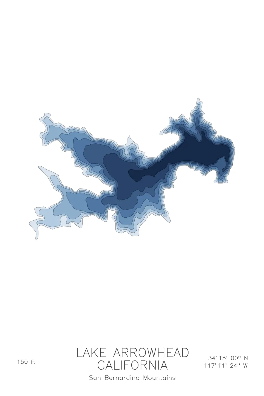
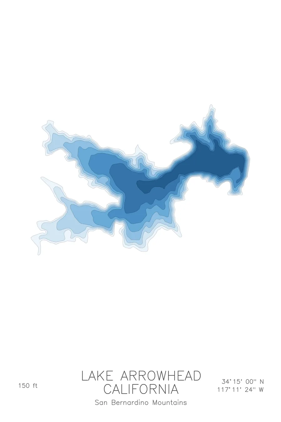
A bathymetric depth map of Lake Arrowhead, California, drawn from real lake survey data in a minimalist contour-line design.
Built from 1891 to irrigate citrus groves; a 1913 court ruling meant the water never left the mountains.
$50
Ink & paper: Lake Blue
Size: 12×18"
+Personalize this map
+ Details
- 12 × 18 inches
- Drawn on 98 lb (160 gsm) archival cotton paper
- Precision technical pens and archival inks
- Signed and dated on the back
- Ships flat, protected, ready to frame
Each map begins with elevation data and is drawn by a pen plotter in our Vermont studio. Mechanical precision, plus the texture and small imperfections of real ink on paper.
Off the screen
In real rooms



















+ About this map
Lake Arrowhead was built to irrigate the San Bernardino Valley, and not one drop of it ever did. Starting in 1891, a Cincinnati syndicate that included James Gamble of Procter & Gamble dammed Little Bear Creek, planning to tunnel the water out of the mountains to the citrus groves below. In 1913, twenty-two years into the project, a California court ruled that water from one watershed could not be diverted to another. In 1921 a group of Los Angeles millionaires headed by J.B. Van Nuys bought the white elephant for nearly $5 million, renamed Little Bear Lake as Lake Arrowhead, and turned the failed reservoir into an alpine resort.
The depth contours show a compact mountain reservoir with real depth for its size. The map traces bays reaching back into the folds of the surrounding slopes, each one shelving quickly into deeper water, and the contour lines gathering toward the central basin where the drowned creek valley lies. It is a small lake that drops away fast, which is exactly how it feels from a boat.
+ Map details
- Lake Arrowhead
- California
- United States
- California
- 34.2500N 117.1900W
- Lake bathymetric depth map
- Original pen plot, archival ink on cotton paper
- 8 × 12 in · 12 × 18 in · 18 × 24 in
- Max depth 150 ft
More maps