Colorado
La Plata Peak
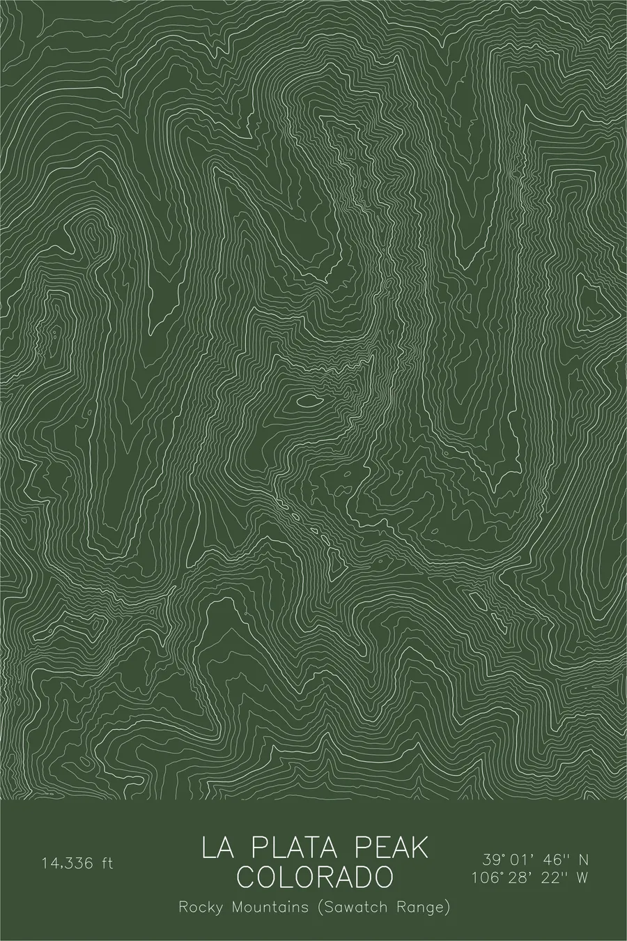
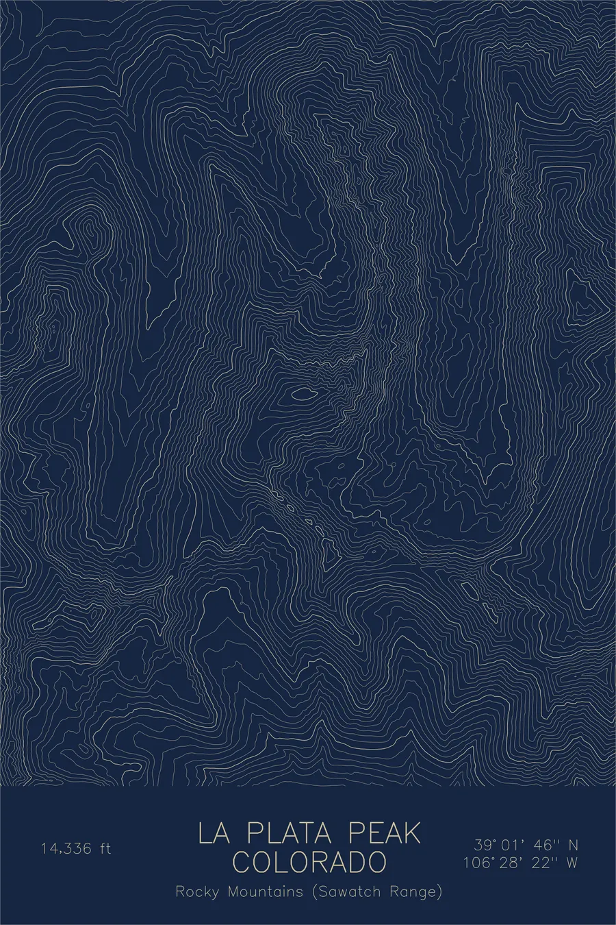
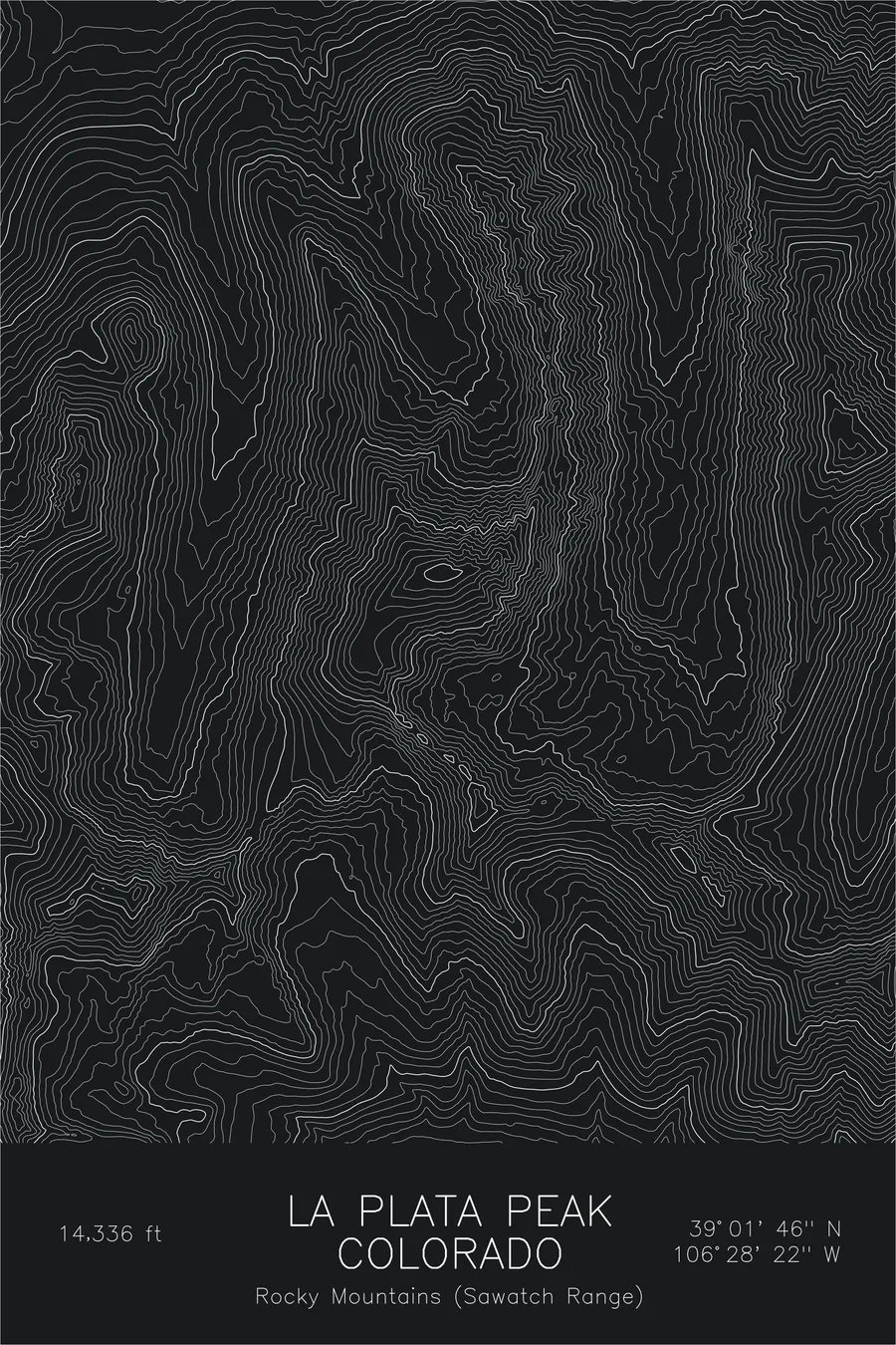
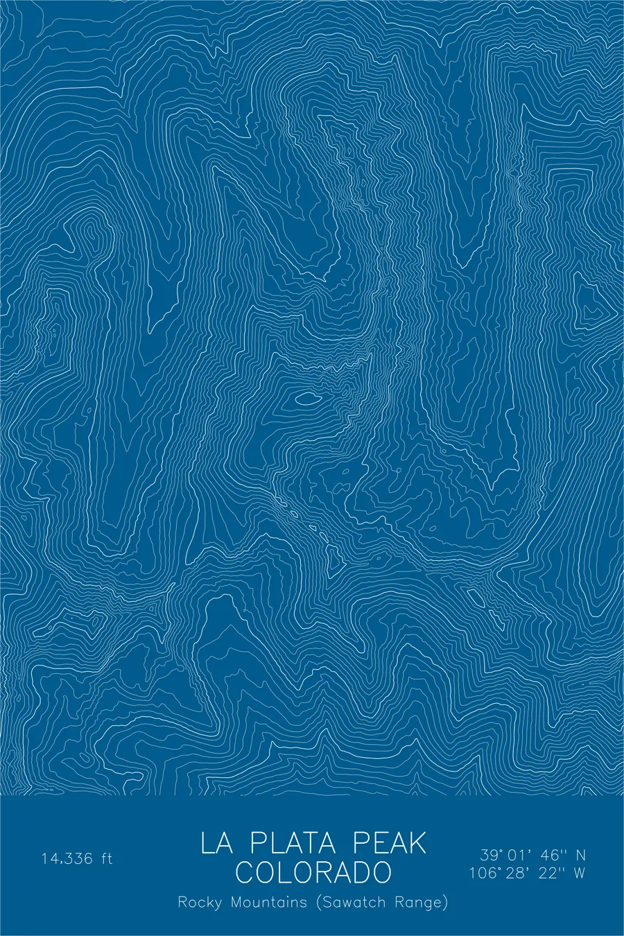
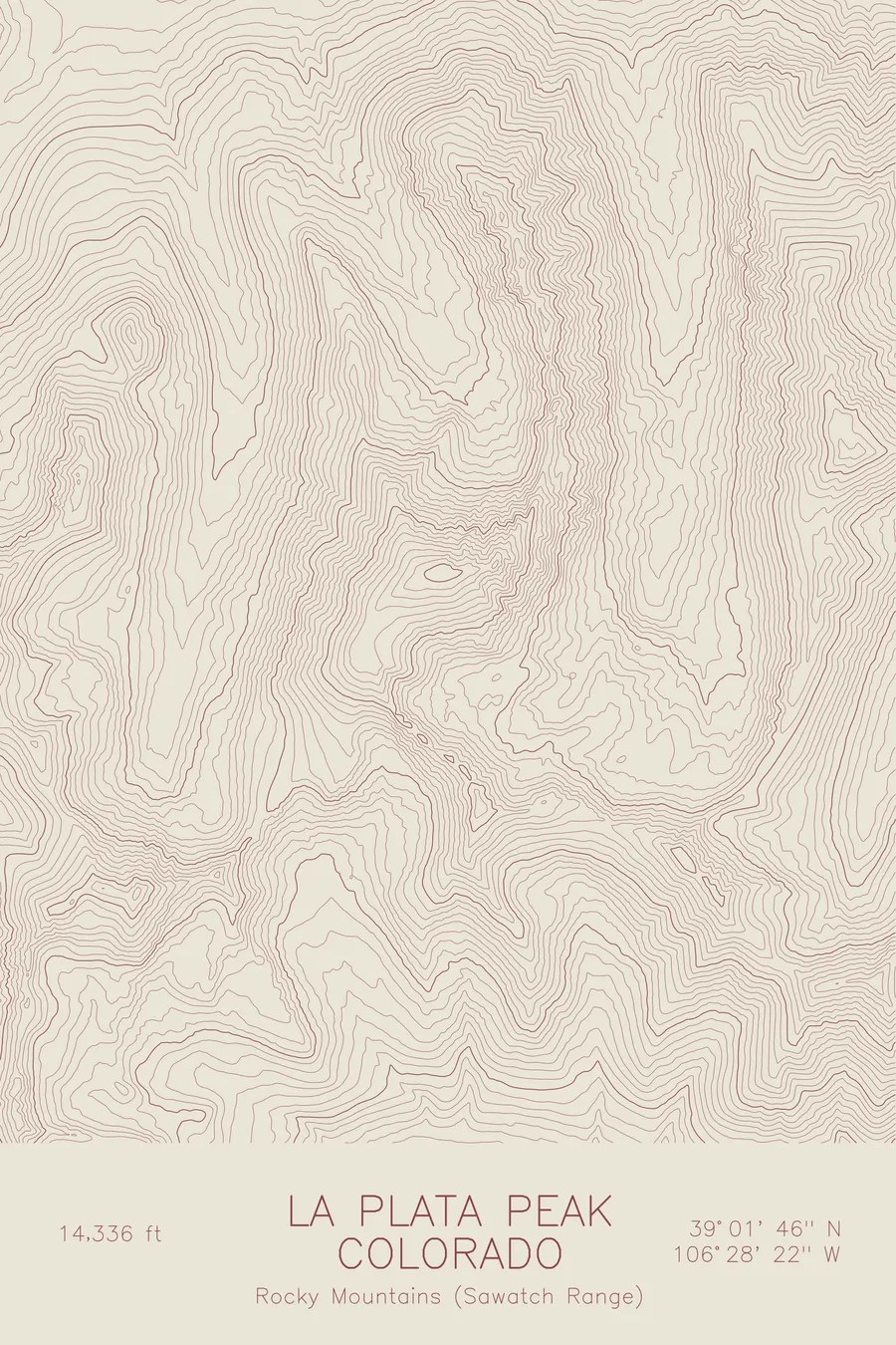
A pen-plotted topographic map of La Plata Peak in the Sawatch Range, Colorado, drawn from real elevation contour data.
Fifth-highest peak in Colorado. 14,336 feet above sea level.
$54
Ink & paper: Green
Size: 12×18"
+Personalize this map
+ Details
- 12 × 18 inches
- Drawn on 98 lb (160 gsm) archival cotton paper
- Precision technical pens and archival inks
- Signed and dated on the back
- Ships flat, protected, ready to frame
Each map begins with elevation data and is drawn by a pen plotter in our Vermont studio. Mechanical precision, plus the texture and small imperfections of real ink on paper.
Off the screen
In real rooms



















+ About this map
La Plata Peak rises to 14,336 feet in the Sawatch Range, the fifth-highest summit in Colorado. Its name is Spanish for silver, a nod to the mining history of the surrounding valleys. The peak stands south of Independence Pass above the Lake Creek drainage, in the heart of a range that holds more fourteeners than any other in the state.
The contour lines tell two different stories on this mountain. The northwest ridge climbs in steady, evenly spaced bands, the line of the standard route. To the northeast the lines fracture into the sawteeth of Ellingwood Ridge, a long serrated arete named for the pioneering Colorado climber Albert Ellingwood. Between the ridges the map traces the high basins that funnel snowmelt toward Lake Creek and the Arkansas River beyond.
+ Map details
- La Plata Peak
- Colorado
- United States
- Rocky Mountains (Sawatch Range)
- Rocky Mountains
- 14,336 ft / 4,370 m
- 39.0294N 106.4729W
- Mountain topographic map
- Original pen plot, archival ink on cotton paper
- 8 × 12 in · 12 × 18 in · 18 × 24 in
- Fifth-highest peak in Colorado
More maps