Vermont
Lake Groton
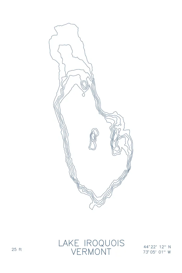
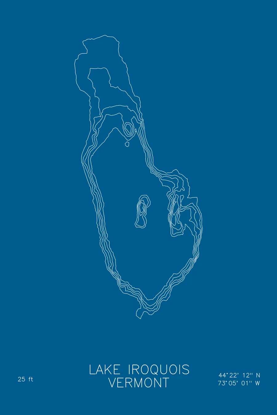
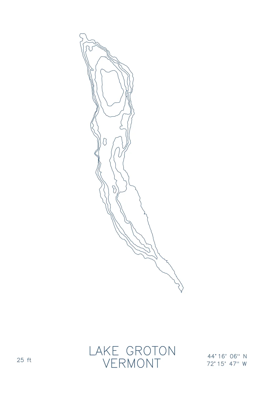
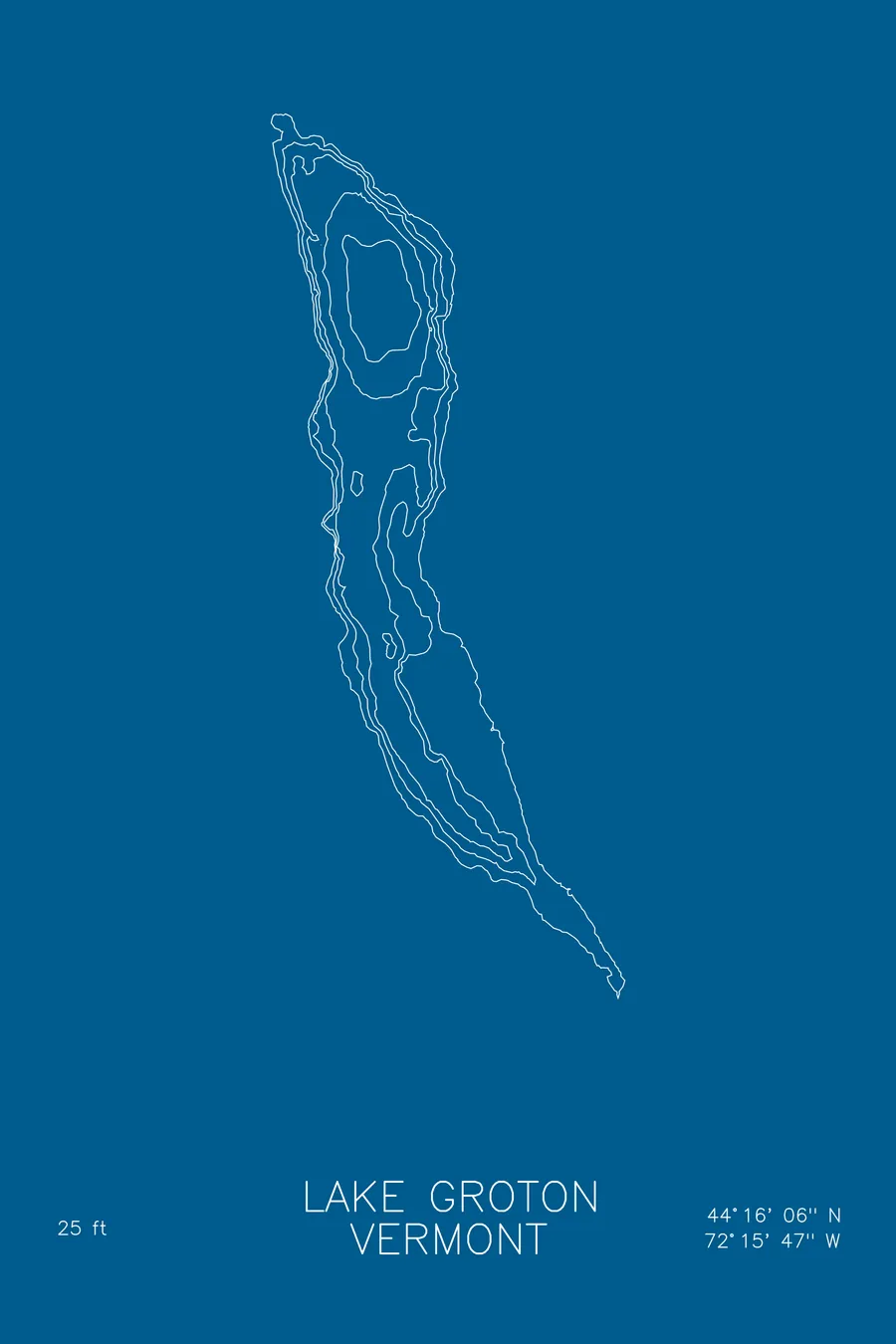
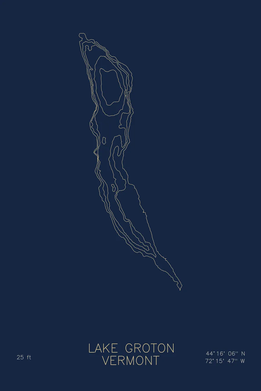
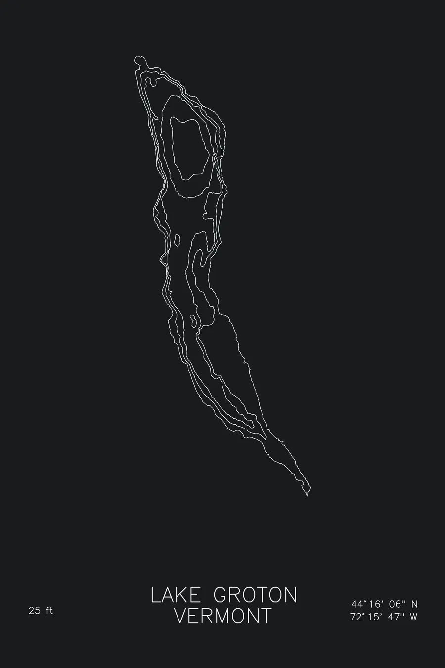
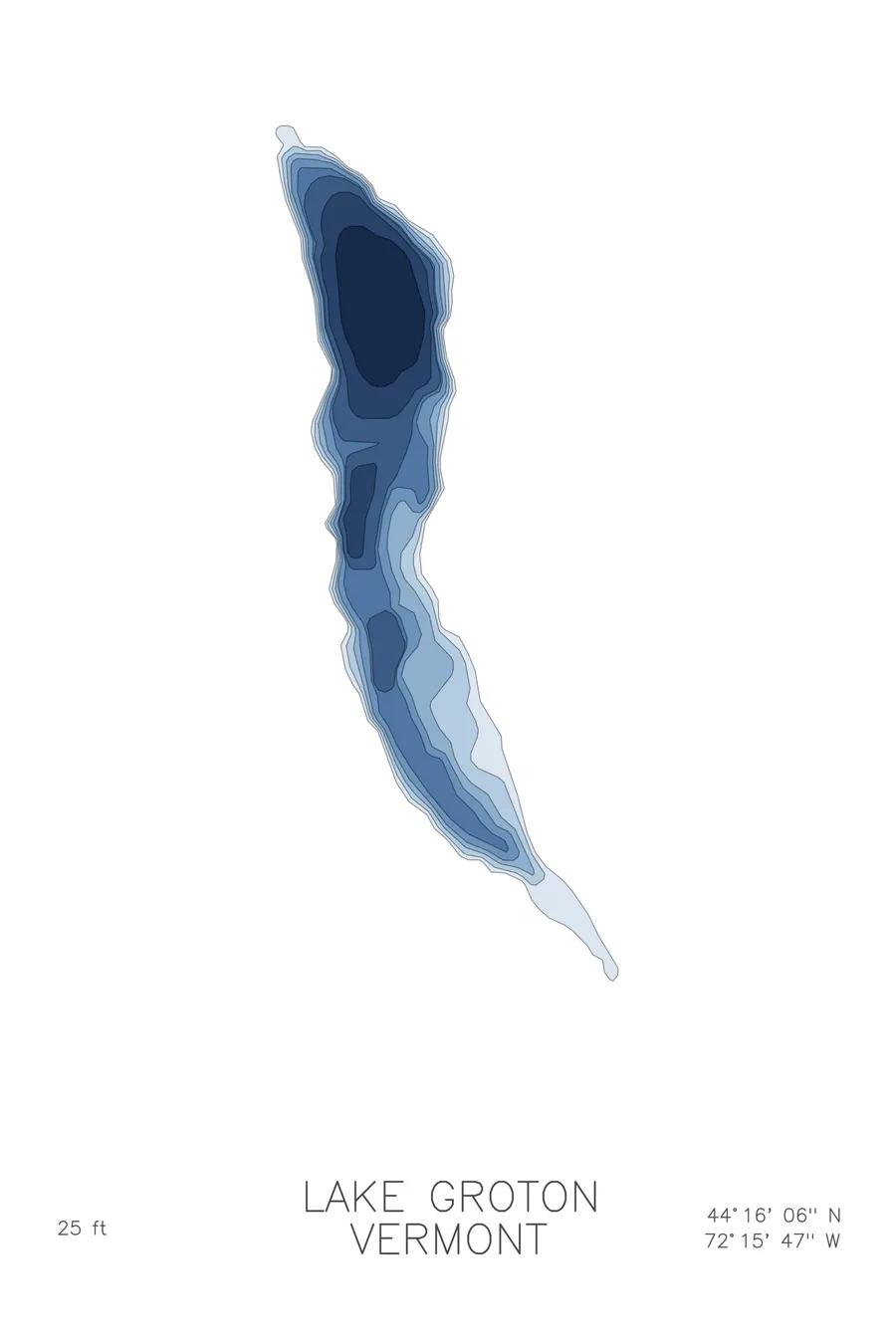
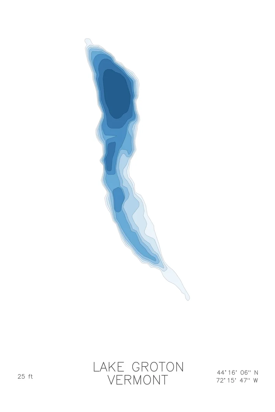
A bathymetric depth map of Lake Groton, Vermont, drawn from real lake survey data in a minimalist contour-line design.
Max depth 25 ft.
$50
Ink & paper: Lake Blue
Size: 12×18"
+Personalize this map
+ Details
- 12 × 18 inches
- Drawn on 98 lb (160 gsm) archival cotton paper
- Precision technical pens and archival inks
- Signed and dated on the back
- Ships flat, protected, ready to frame
Each map begins with elevation data and is drawn by a pen plotter in our Vermont studio. Mechanical precision, plus the texture and small imperfections of real ink on paper.
Off the screen
In real rooms



















+ About this map
Lake Groton lies deep inside Groton State Forest in central Vermont, surrounded by more than 26,000 acres of woods, ponds, and granite hills. Stillwater and Boulder Beach state parks share its shoreline, and the lake anchors a chain of quiet forest ponds shaped by the glaciers, the kind of place where loons carry farther than road noise.
The depth contours draw a gentle, shallow basin. The lake bottoms out at 25 feet, so the lines run in broad, relaxed bands from the shoreline toward the middle, with no sudden ledges or trenches to interrupt them. The map shows the easy shelving of the swimming beaches and the soft irregularity of a shoreline carved by ice and finished by forest, a modest lake rendered with the same care as the deep ones.
+ Map details
- Lake Groton
- Vermont
- United States
- New England
- 44.2683N 72.2630W
- Lake bathymetric depth map
- Original pen plot, archival ink on cotton paper
- 8 × 12 in · 12 × 18 in · 18 × 24 in
- Max depth 25 ft
More maps