Michigan
Lake Leelanau
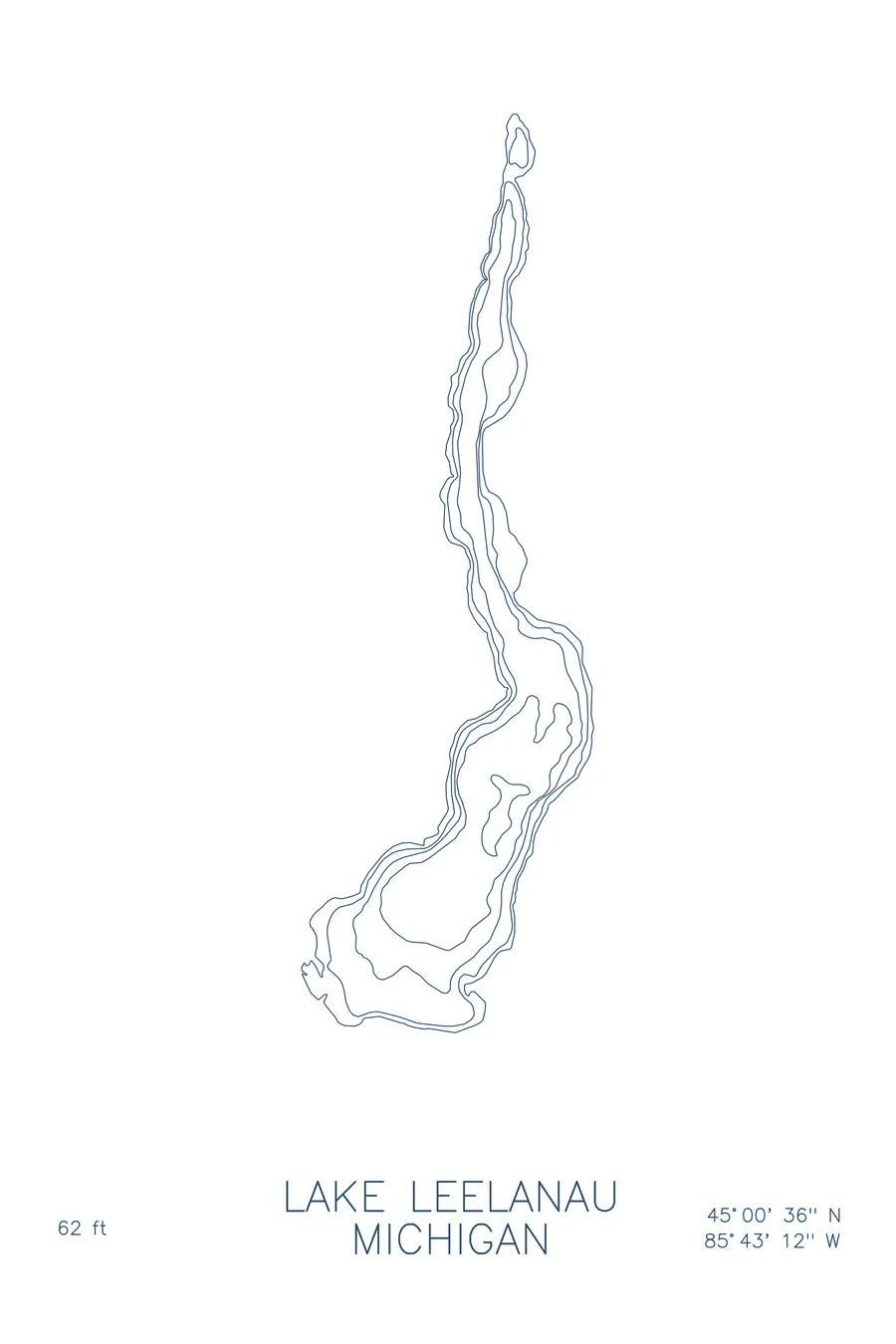
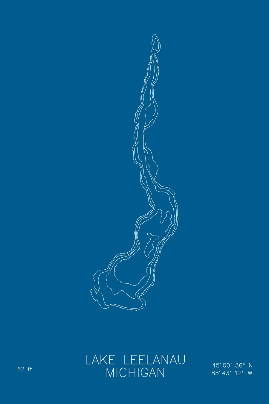
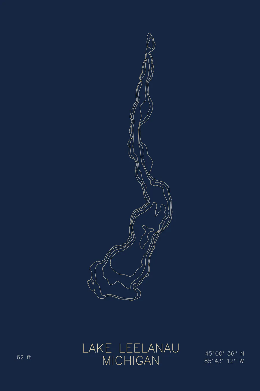
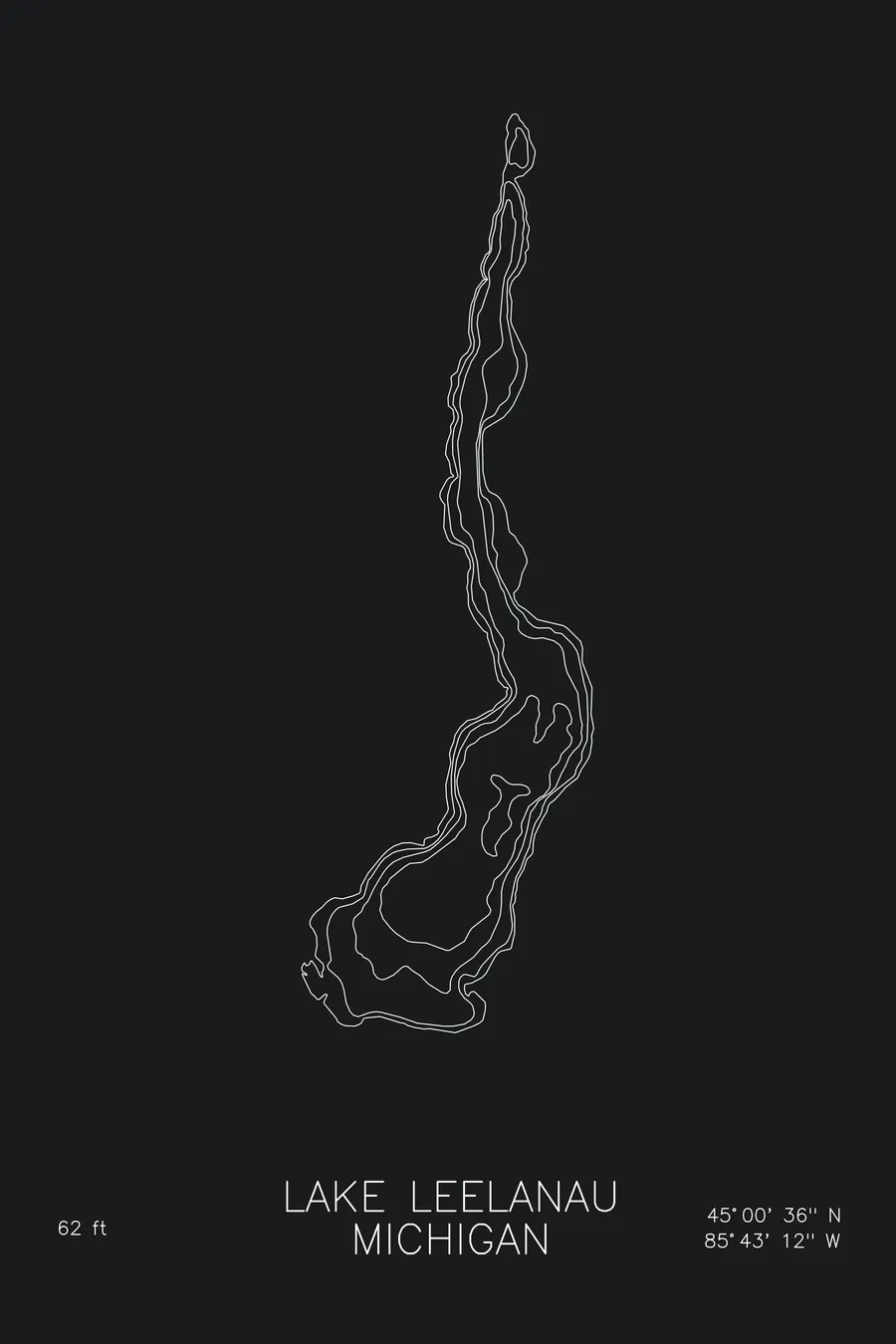
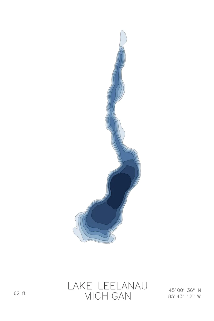
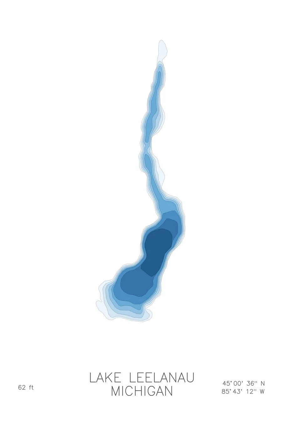
A bathymetric depth map of Lake Leelanau, Michigan, drawn from real lake survey data in a minimalist contour-line design.
Max depth 62 ft.
$50
Ink & paper: Lake Blue
Size: 12×18"
+Personalize this map
+ Details
- 12 × 18 inches
- Drawn on 98 lb (160 gsm) archival cotton paper
- Precision technical pens and archival inks
- Signed and dated on the back
- Ships flat, protected, ready to frame
Each map begins with elevation data and is drawn by a pen plotter in our Vermont studio. Mechanical precision, plus the texture and small imperfections of real ink on paper.
Off the screen
In real rooms



















+ About this map
Lake Leelanau runs like a ribbon down the middle of Michigan’s Leelanau Peninsula, a long glacial lake split into north and south arms joined at a narrows by the village of Lake Leelanau. It stretches some 20 miles through orchard and vineyard country, with Leland at its outlet to Lake Michigan and Sleeping Bear Dunes just over the hills to the west.
The depth contours follow the lake’s shape: long, parallel lines tracing a drowned valley rather than a bowl. Shallow margins hug the shore, then the bottom slides toward a trench that runs the length of each arm, with contours dropping past 60 feet. The map reads as a single continuous channel, pinched at the narrows, carved by ice and filled ever since.
+ Map details
- Lake Leelanau
- Michigan
- United States
- Upper Midwest
- 45.0100N 85.7200W
- Lake bathymetric depth map
- Original pen plot, archival ink on cotton paper
- 8 × 12 in · 12 × 18 in · 18 × 24 in
- Max depth 62 ft
More maps