Minnesota
Leech Lake
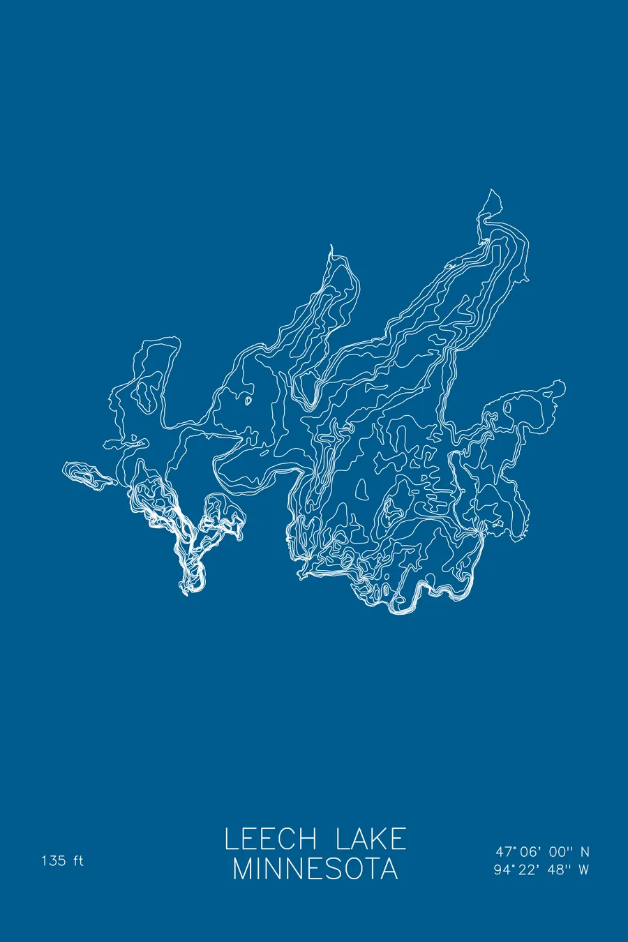
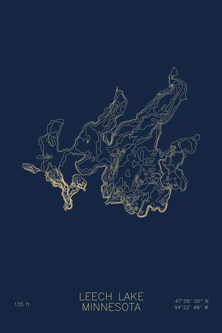
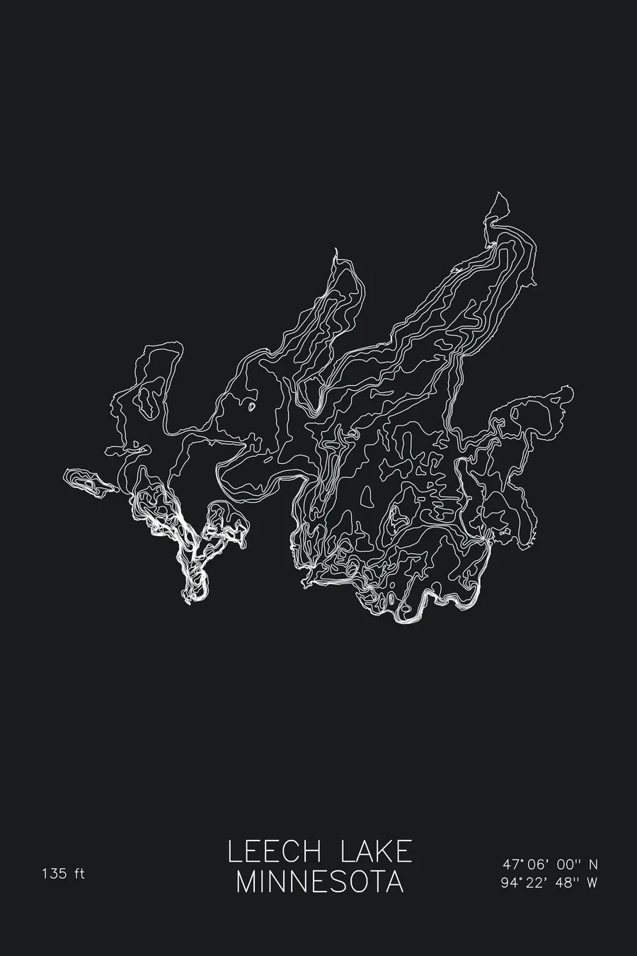
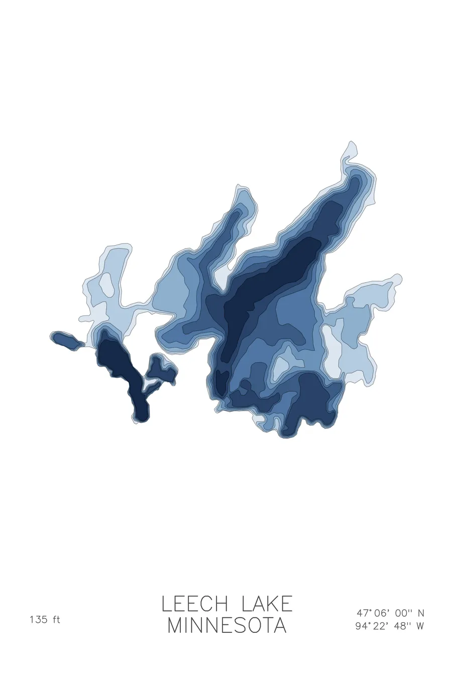
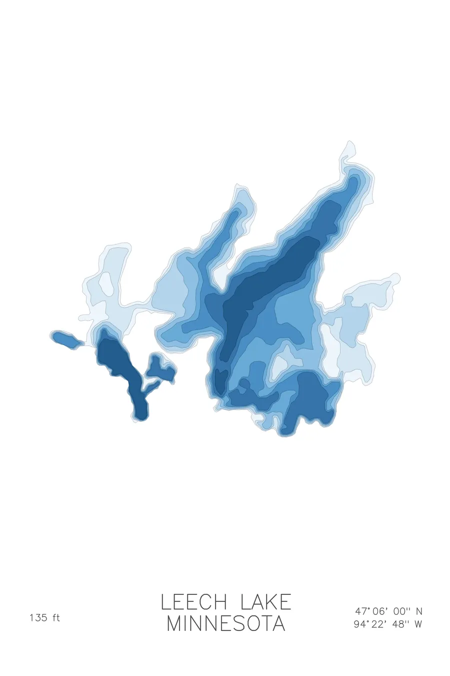
A bathymetric depth map of Leech Lake, Minnesota, drawn from real lake survey data in a minimalist contour-line design.
Sugar Point, on the lake's shore, saw the last battle between the US Army and Native Americans in 1898.
$50
Ink & paper: Lake Blue
Size: 12×18"
+Personalize this map
+ Details
- 12 × 18 inches
- Drawn on 98 lb (160 gsm) archival cotton paper
- Precision technical pens and archival inks
- Signed and dated on the back
- Ships flat, protected, ready to frame
Each map begins with elevation data and is drawn by a pen plotter in our Vermont studio. Mechanical precision, plus the texture and small imperfections of real ink on paper.
Off the screen
In real rooms



















+ About this map
The last battle between the US Army and Native Americans was fought on Leech Lake’s shore, at Sugar Point, on October 5, 1898. Seventy-seven soldiers of the 3rd US Infantry came to arrest the Pillager Ojibwe leader Bugonaygeshig and failed; six soldiers died, and Private Oscar Burkard received the final Medal of Honor of the Indian Wars. Among the grievances behind the fight: Ojibwe men arrested on dubious charges, transported to courts in Duluth or Minneapolis as witnesses, then released without pay and forced to walk home, a distance of 100 to 200 miles. The lake, Minnesota’s third largest at more than 100,000 acres, sits within the Chippewa National Forest and the Leech Lake Reservation.
The depth contours tell two stories. Most of the main basin is surprisingly shallow for its size, a vast plain of gentle lines broken by bars and humps. Then Walker Bay plunges, its contours stacking tightly to 135 feet, far deeper than anywhere else on the lake. The map holds both at once, the wide flats and the one deep trench.
+ Map details
- Leech Lake
- Minnesota
- United States
- Upper Midwest
- 47.1000N 94.3800W
- Lake bathymetric depth map
- Original pen plot, archival ink on cotton paper
- 8 × 12 in · 12 × 18 in · 18 × 24 in
- Max depth 135 ft
More maps