Minnesota
Lake Minnetonka
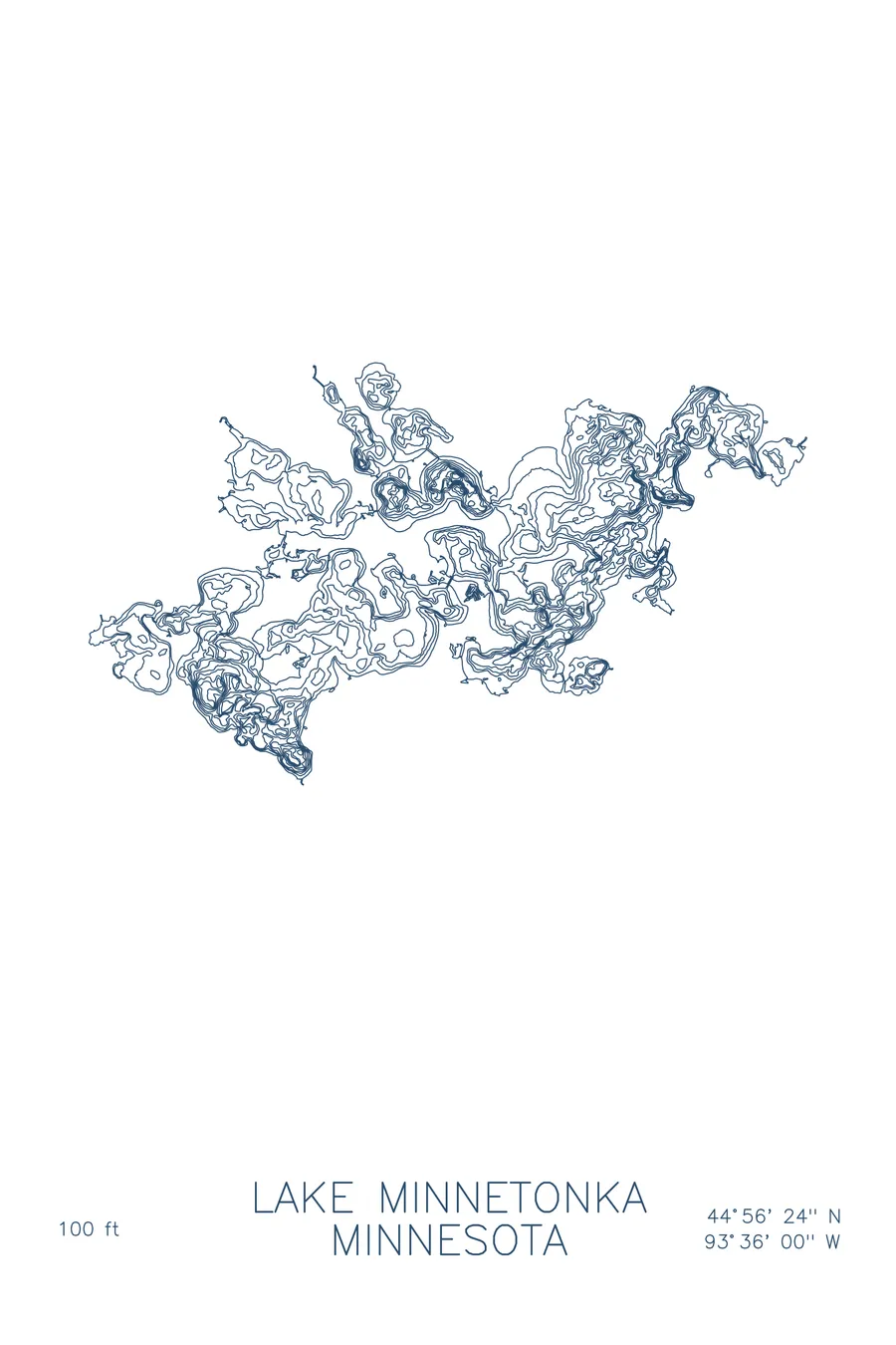
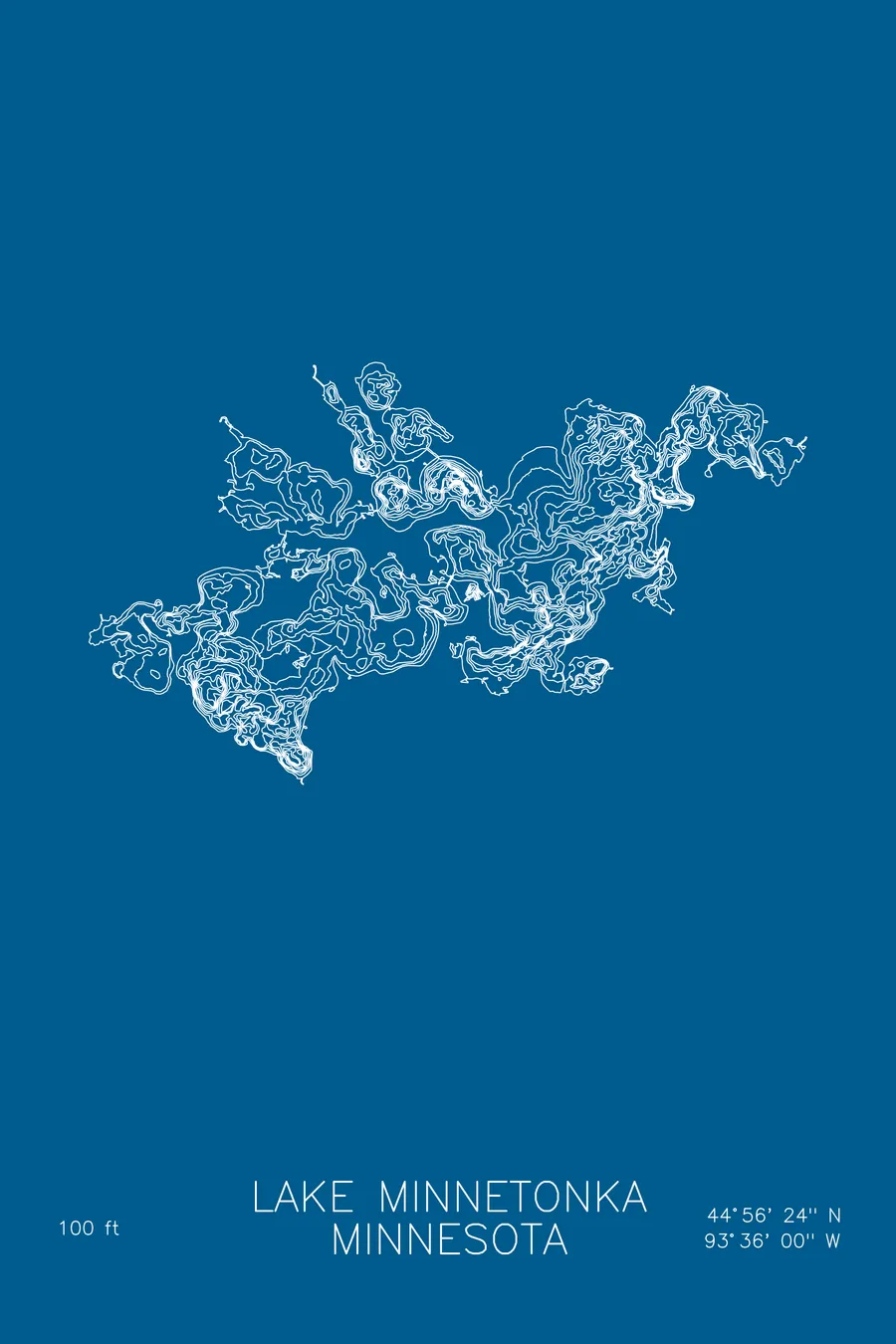
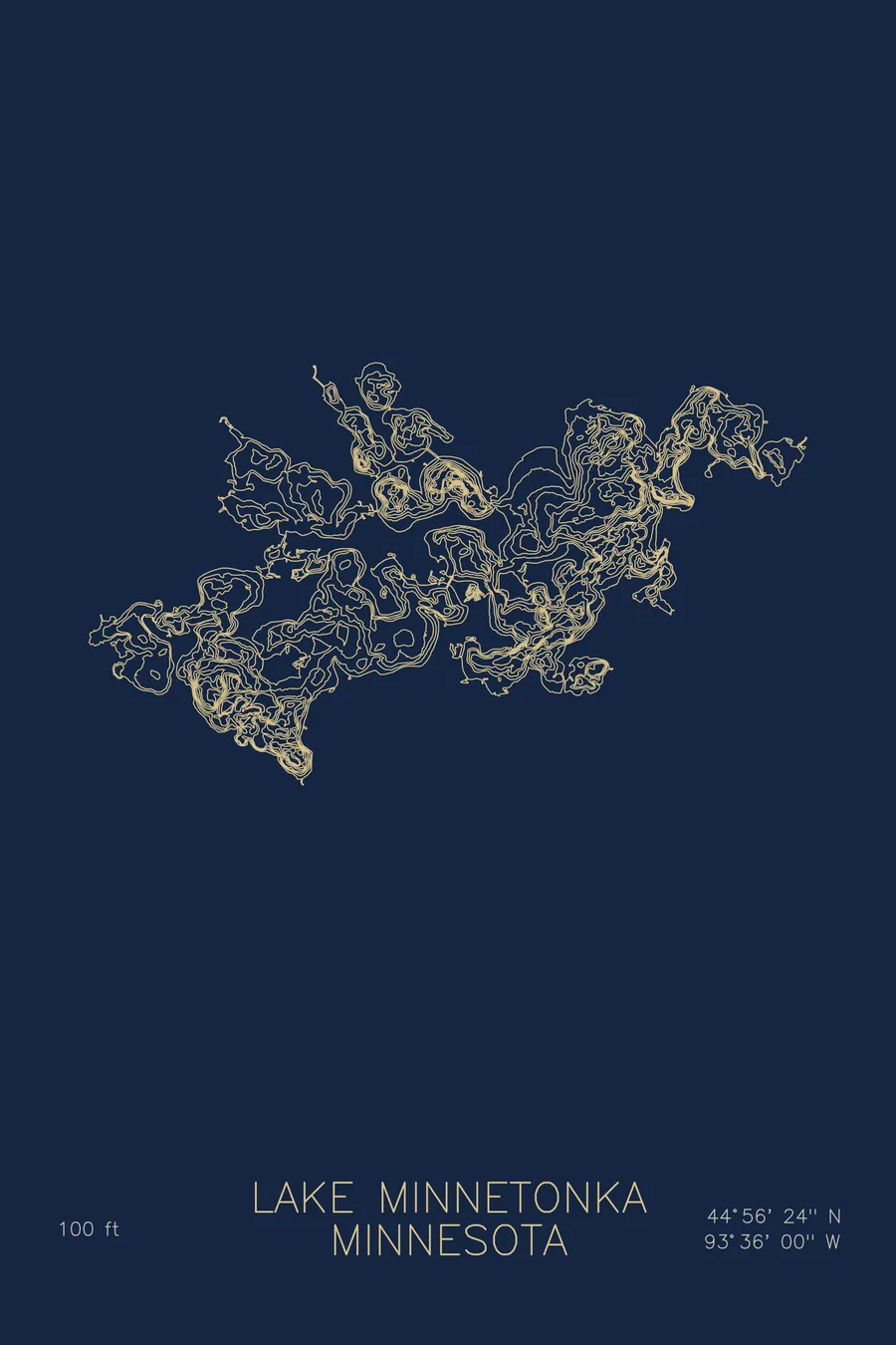
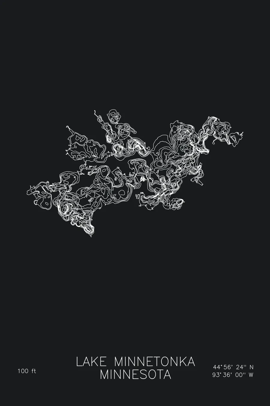
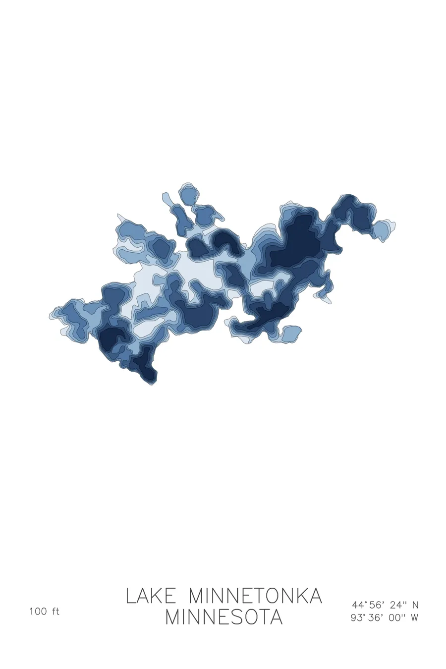
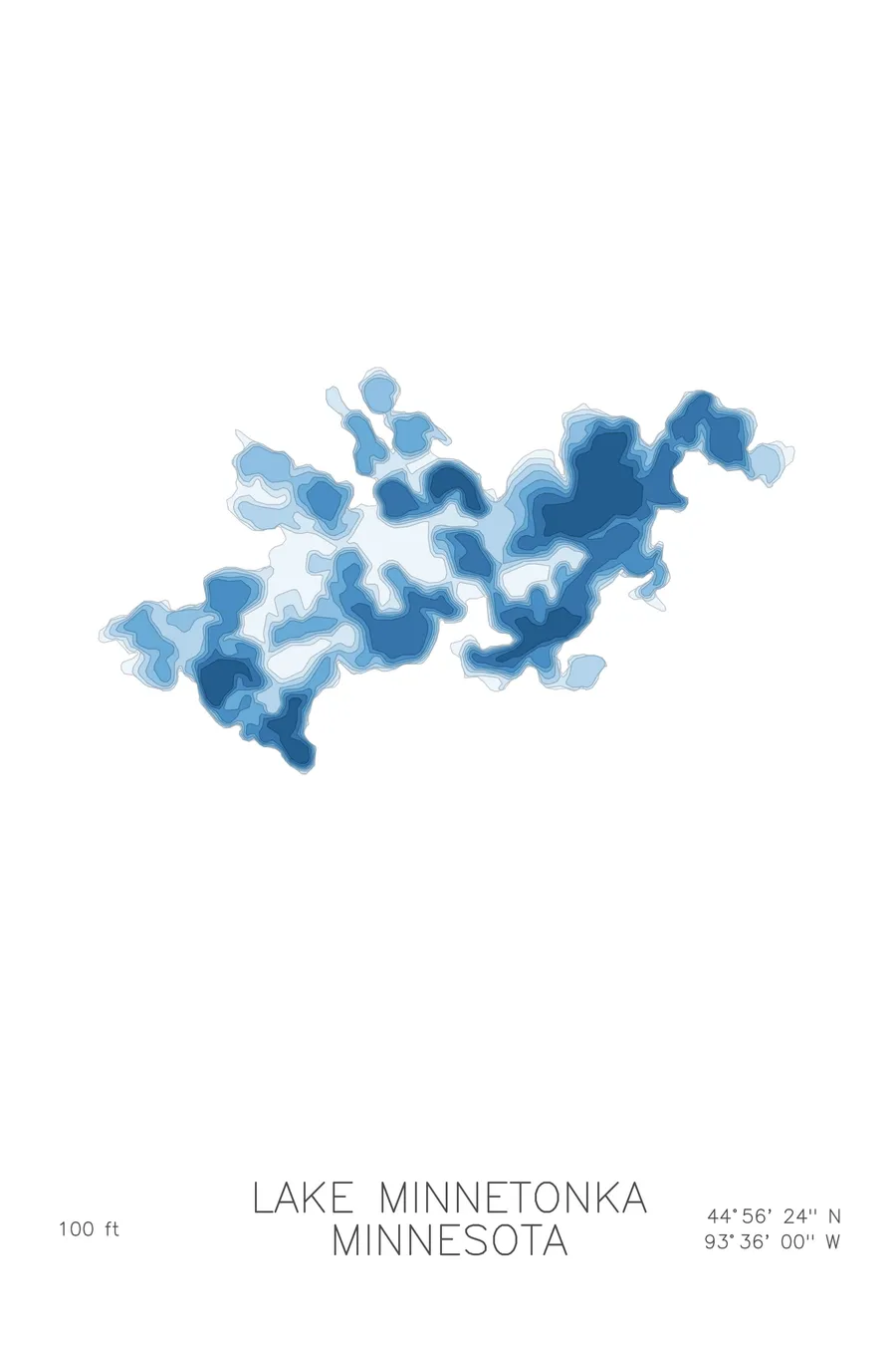
A bathymetric depth map of Lake Minnetonka, Minnesota, drawn from real lake survey data in a minimalist contour-line design.
Max depth 100 ft.
$50
Ink & paper: Lake Blue
Size: 12×18"
+Personalize this map
+ Details
- 12 × 18 inches
- Drawn on 98 lb (160 gsm) archival cotton paper
- Precision technical pens and archival inks
- Signed and dated on the back
- Ships flat, protected, ready to frame
Each map begins with elevation data and is drawn by a pen plotter in our Vermont studio. Mechanical precision, plus the texture and small imperfections of real ink on paper.
Off the screen
In real rooms



















+ About this map
Lake Minnetonka sprawls across more than 14,000 acres just west of Minneapolis, the largest lake in the Twin Cities metro. Left behind by retreating glaciers, it is less a single lake than a tangle of interconnected bays, channels, and points, with Wayzata, Excelsior, and Mound along its shores and Big Island anchoring the middle. In summer its harbors fill with sailboats and cruisers; in winter, fish houses.
The depth contours make the lake’s complexity plain. Narrow channels thread between bays, shallow flats fringe the islands and points, and each bay holds its own basin. The deepest water lies in Crystal Bay, where the contours stack tightly toward the 100 foot mark, while broad bays like Halsted and Wayzata stay comparatively shallow. The map shows why no two corners of Minnetonka feel like the same lake.
+ Map details
- Lake Minnetonka
- Minnesota
- United States
- Upper Midwest
- 44.9400N 93.6000W
- Lake bathymetric depth map
- Original pen plot, archival ink on cotton paper
- 8 × 12 in · 12 × 18 in · 18 × 24 in
- Max depth 100 ft
More maps