Vermont
Lake Willoughby
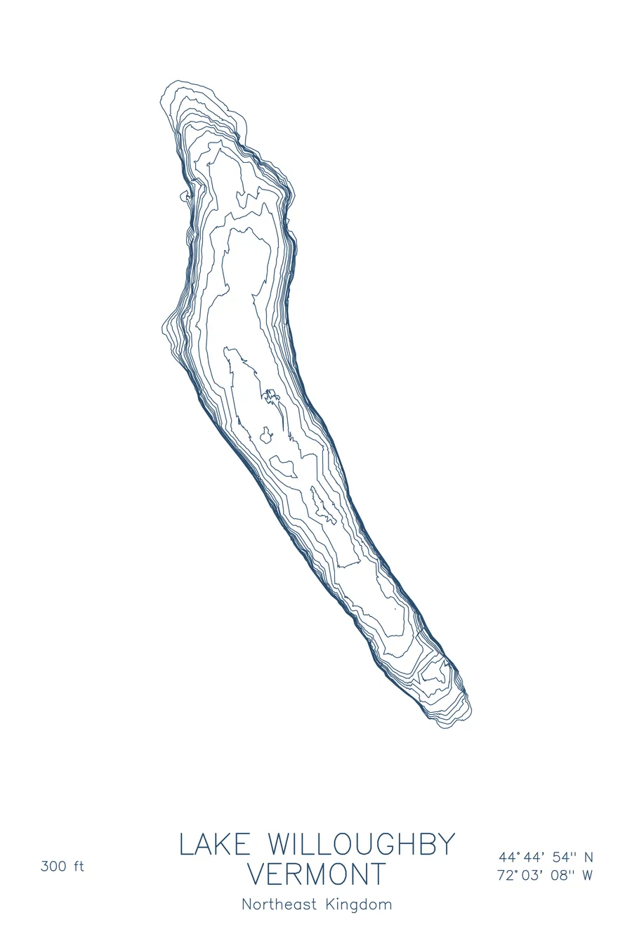
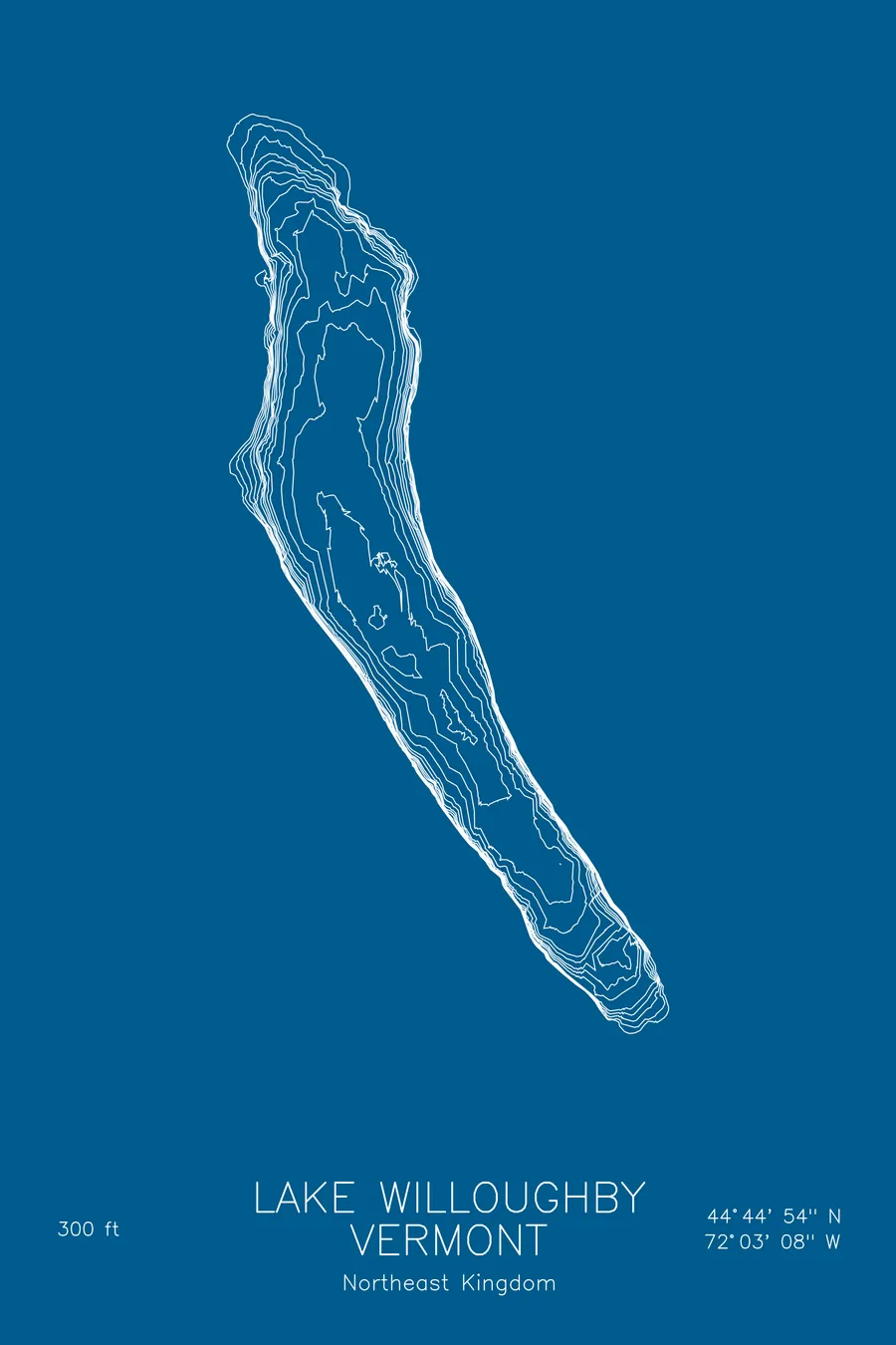
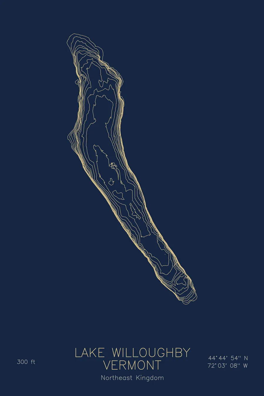
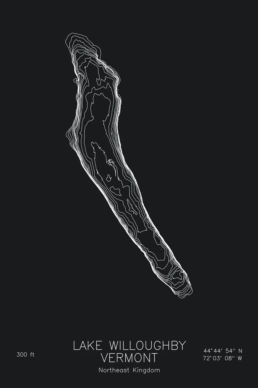
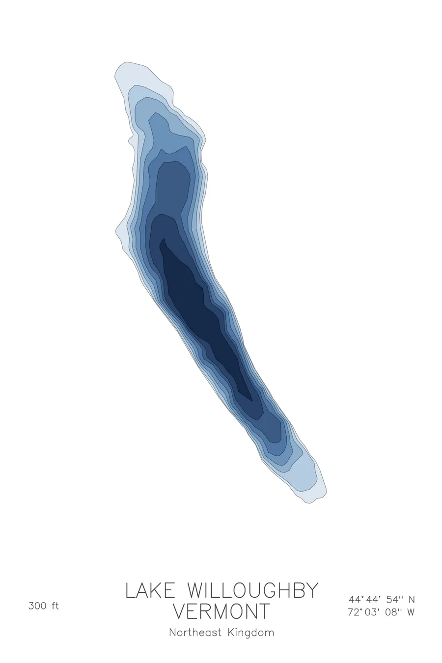
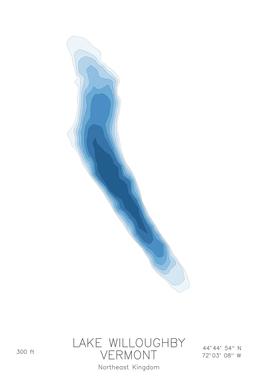
A bathymetric depth map of Lake Willoughby, Vermont, drawn from real lake survey data in a minimalist contour-line design.
Max depth 300 ft.
$50
Ink & paper: Lake Blue
Size: 12×18"
+Personalize this map
+ Details
- 12 × 18 inches
- Drawn on 98 lb (160 gsm) archival cotton paper
- Precision technical pens and archival inks
- Signed and dated on the back
- Ships flat, protected, ready to frame
Each map begins with elevation data and is drawn by a pen plotter in our Vermont studio. Mechanical precision, plus the texture and small imperfections of real ink on paper.
Off the screen
In real rooms



















+ About this map
Lake Willoughby is Vermont’s fjord-like lake, a narrow glacial trough pinned between the cliffs of Mount Pisgah and Mount Hor in the Northeast Kingdom. The ice that carved the gap cut deep: at 300 feet, Willoughby is the deepest lake that lies entirely within Vermont, and its cold, clear water fills the notch like a piece of Norway set down in Westmore.
The depth contours tell the story plainly. Through the central gap the lines crowd hard against both shores, where the cliff faces plunge underwater almost as steeply as they rise above it, framing a deep trench that runs the length of the notch. At the north and south ends the map opens into shallow, sandy shelves where the beaches sit, a calm counterpoint to the severe, close-set contours between the mountains.
+ Map details
- Lake Willoughby
- Vermont
- United States
- New England
- 44.7482N 72.0521W
- Lake bathymetric depth map
- Original pen plot, archival ink on cotton paper
- 8 × 12 in · 12 × 18 in · 18 × 24 in
- Max depth 300 ft
More maps