New Hampshire
Lake Winnipesaukee
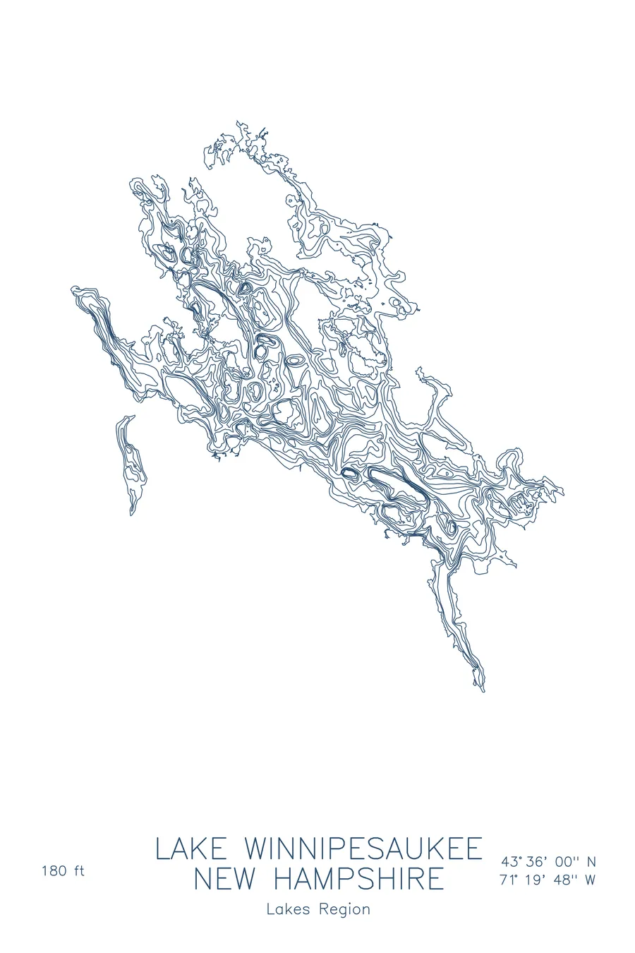
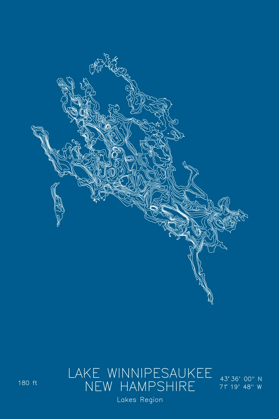
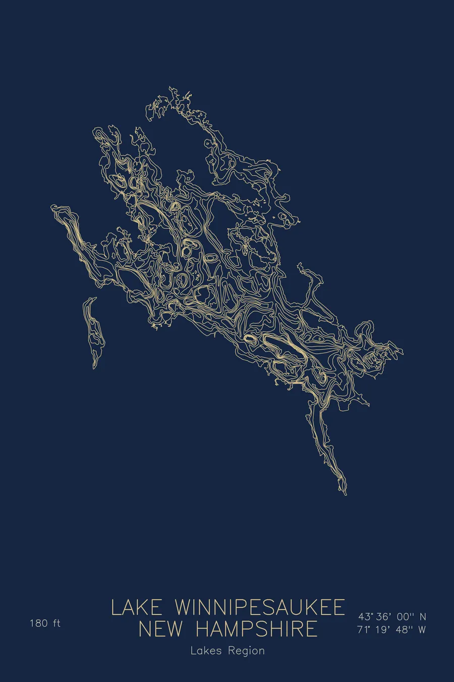
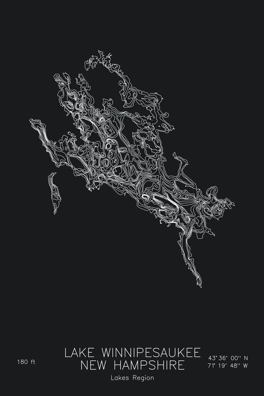
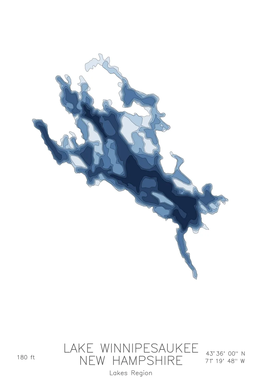
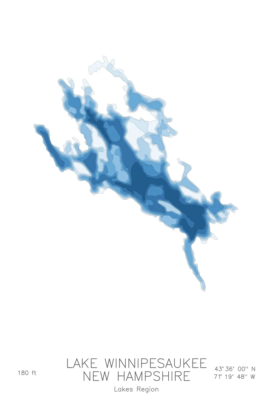
A bathymetric depth map of Lake Winnipesaukee, New Hampshire, drawn from real lake survey data in a minimalist contour-line design.
A floating post office has delivered mail to its islands since 1892.
$50
Ink & paper: Lake Blue
Size: 12×18"
+Personalize this map
+ Details
- 12 × 18 inches
- Drawn on 98 lb (160 gsm) archival cotton paper
- Precision technical pens and archival inks
- Signed and dated on the back
- Ships flat, protected, ready to frame
Each map begins with elevation data and is drawn by a pen plotter in our Vermont studio. Mechanical precision, plus the texture and small imperfections of real ink on paper.
Off the screen
In real rooms



















+ About this map
The steamer Lady of the Lake was filled with rocks in 1895 and towed out to be scuttled in deep water north of Rattlesnake Island, but she sank early, which is why the 125-foot side-wheeler sits upright in about 30 feet of water in Smith Cove at Glendale, shallow enough that divers enter through her deck hatches. New Hampshire’s largest lake also maintains a floating post office, and has since 1892: the current mail boat, the M/V Sophie C, built in 1945, is the oldest floating post office in the United States and still delivers daily to eight islands each summer.
The depth contours make sense of a famously complicated lake. Open basins like The Broads show wide, calm spacing before dropping toward the deepest water at 180 feet, while the channels threading between islands tighten into narrow passages of stacked lines. The map picks out the shoals and rock piles that every Winnipesaukee boater learns to respect, the shallow reach of Alton Bay in the south, and the intricate fit of island against channel that no view from shore ever quite reveals.
+ Map details
- Lake Winnipesaukee
- New Hampshire
- United States
- New England
- 43.6000N 71.3300W
- Lake bathymetric depth map
- Original pen plot, archival ink on cotton paper
- 8 × 12 in · 12 × 18 in · 18 × 24 in
- Max depth 180 ft
More maps