California
Lassen Peak
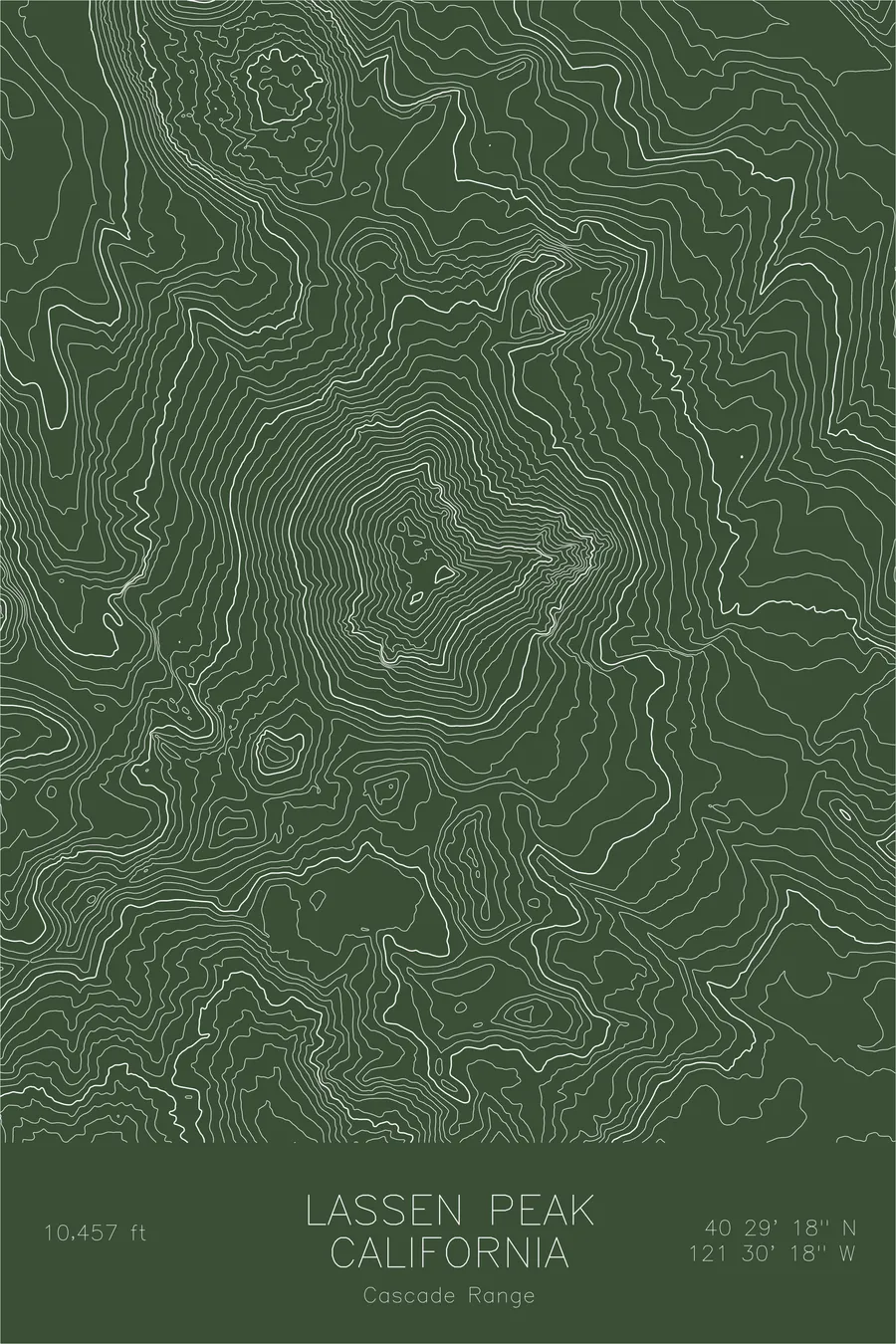
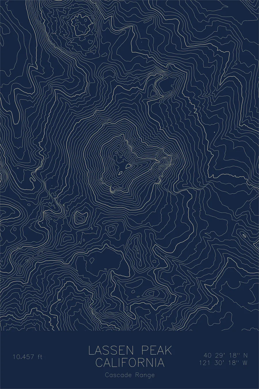
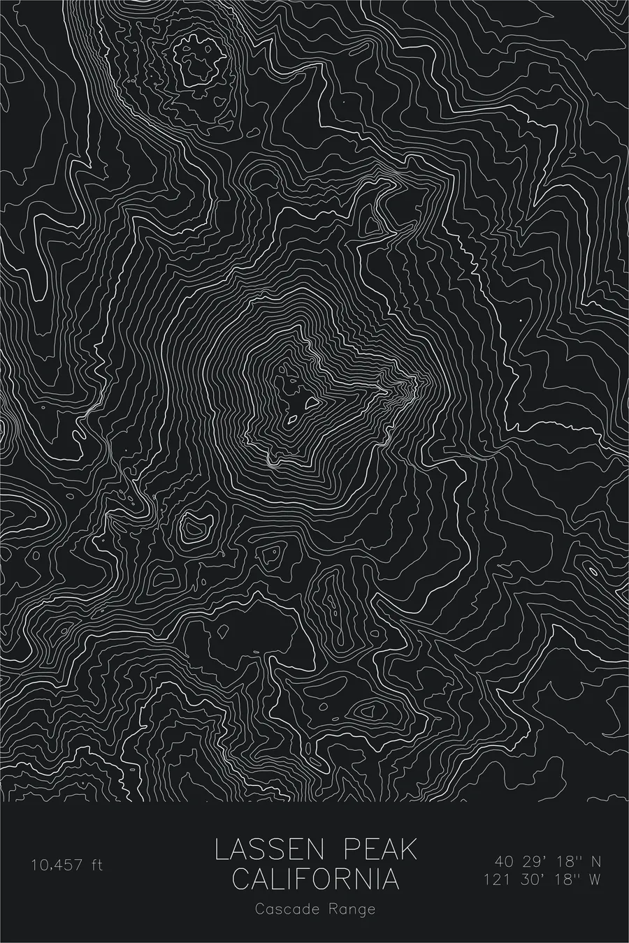
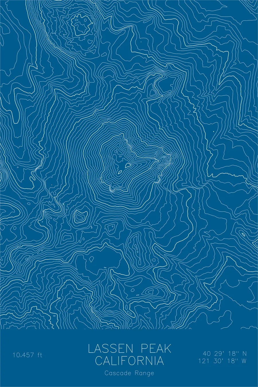
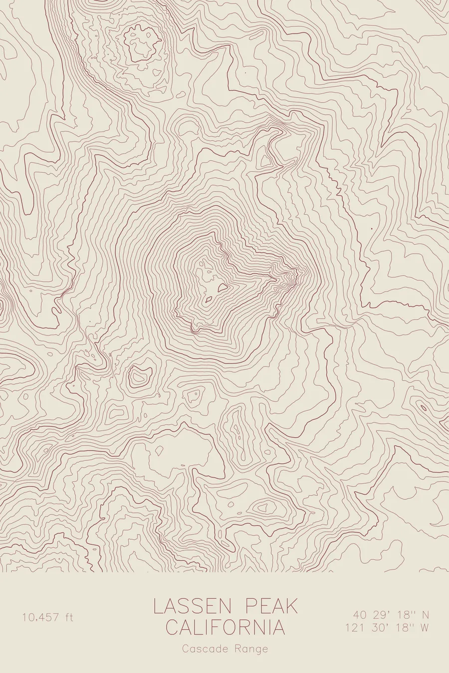
A pen-plotted topographic map of Lassen Peak in the Cascade Range, California, drawn from real elevation contour data.
Largest plug dome volcano in the world, last erupted 1914-1917. 10,457 feet above sea level.
$54
Ink & paper: Navy
Size: 12×18"
+Personalize this map
+ Details
- 12 × 18 inches
- Drawn on 98 lb (160 gsm) archival cotton paper
- Precision technical pens and archival inks
- Signed and dated on the back
- Ships flat, protected, ready to frame
Each map begins with elevation data and is drawn by a pen plotter in our Vermont studio. Mechanical precision, plus the texture and small imperfections of real ink on paper.
Off the screen
In real rooms



















+ About this map
Lassen Peak rises 10,457 feet at the southern end of the Cascade Range, one of the largest plug dome volcanoes in the world. It grew as a mass of stiff lava pushed up on the flank of Tehama, an ancient volcano that has since collapsed and eroded away. Between 1914 and 1917 it produced the most recent Cascade eruptions before Mount St. Helens, devastating the slopes northeast of the summit and prompting the creation of Lassen Volcanic National Park.
This map captures the dome’s compact, forceful shape. The contour lines stack tightly on every side, tracing slopes that climb steeply from the surrounding volcanic tableland without the long shoulders a stratovolcano builds. Around the base, the pattern loosens into the jumbled terrain of old lava flows and the remnant ridges of Tehama, including Brokeoff Mountain standing to the southwest as the largest surviving piece of the vanished volcano.
+ Map details
- Lassen Peak
- California
- United States
- Cascade Range
- Pacific Northwest
- 10,457 ft / 3,187 m
- 40.4882N 121.5049W
- Mountain topographic map
- Original pen plot, archival ink on cotton paper
- 8 × 12 in · 12 × 18 in · 18 × 24 in
- Largest plug dome volcano in the world, last erupted 1914-1917
More maps