New Hampshire
Loon Mountain
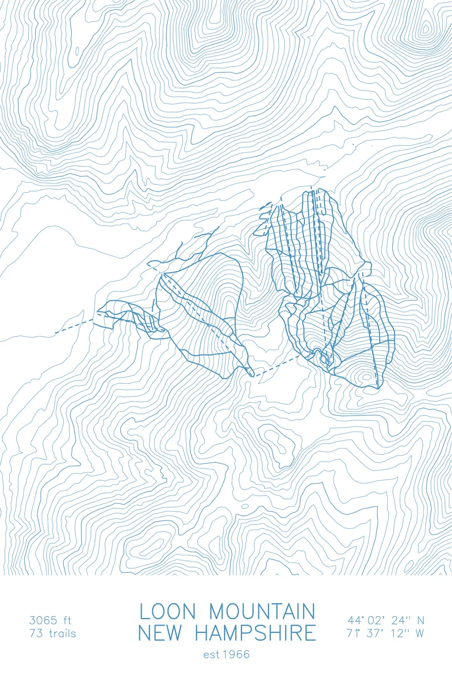
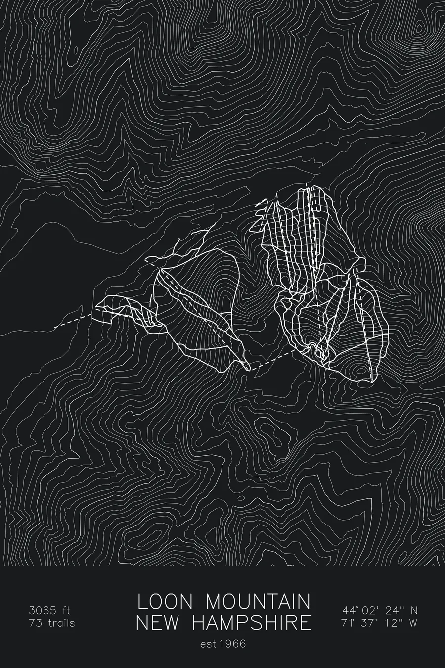
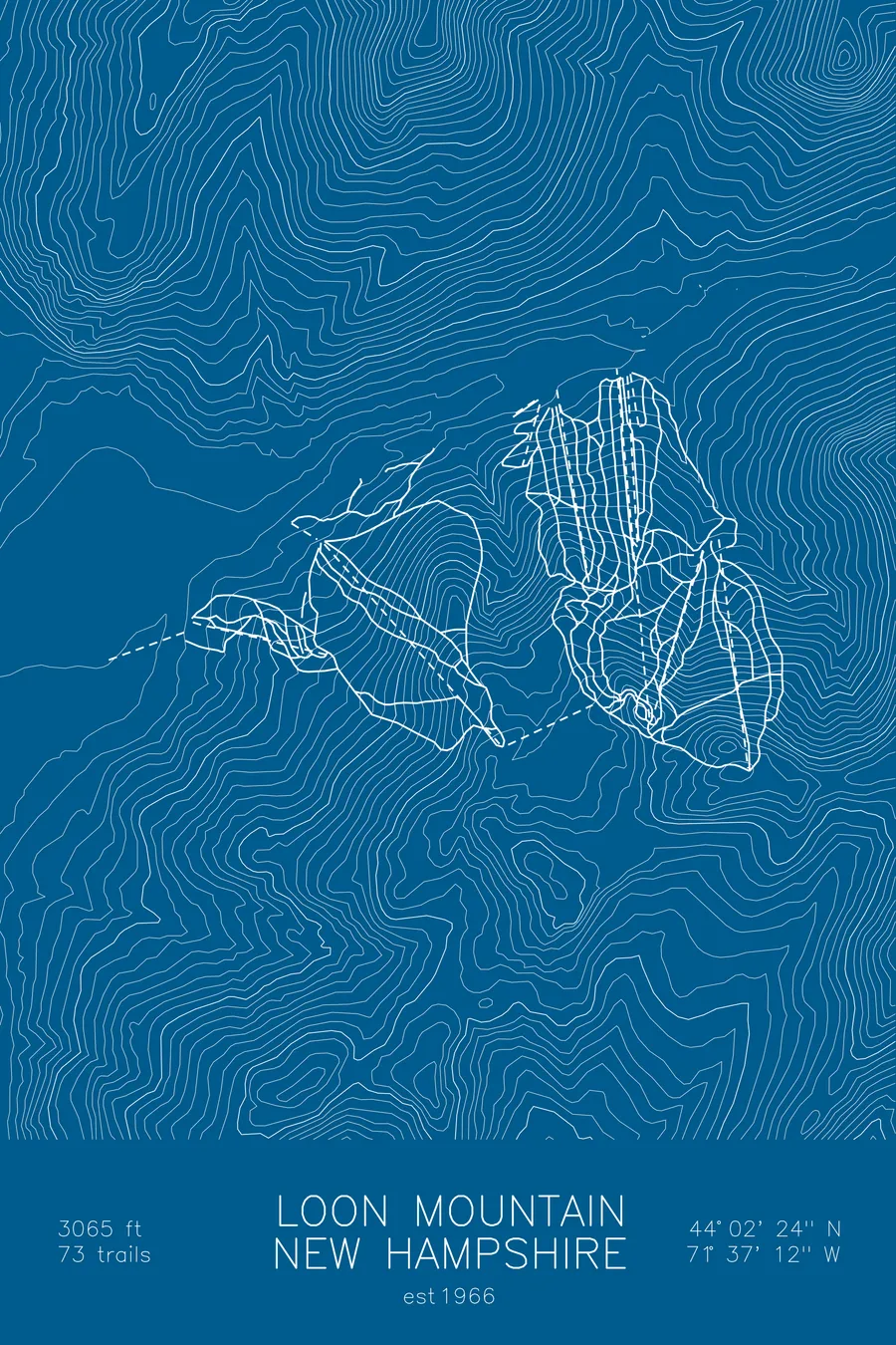
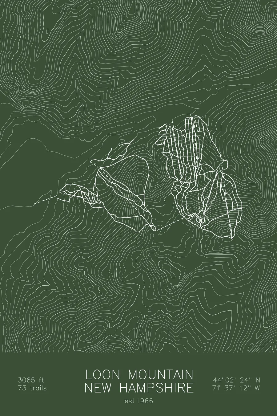
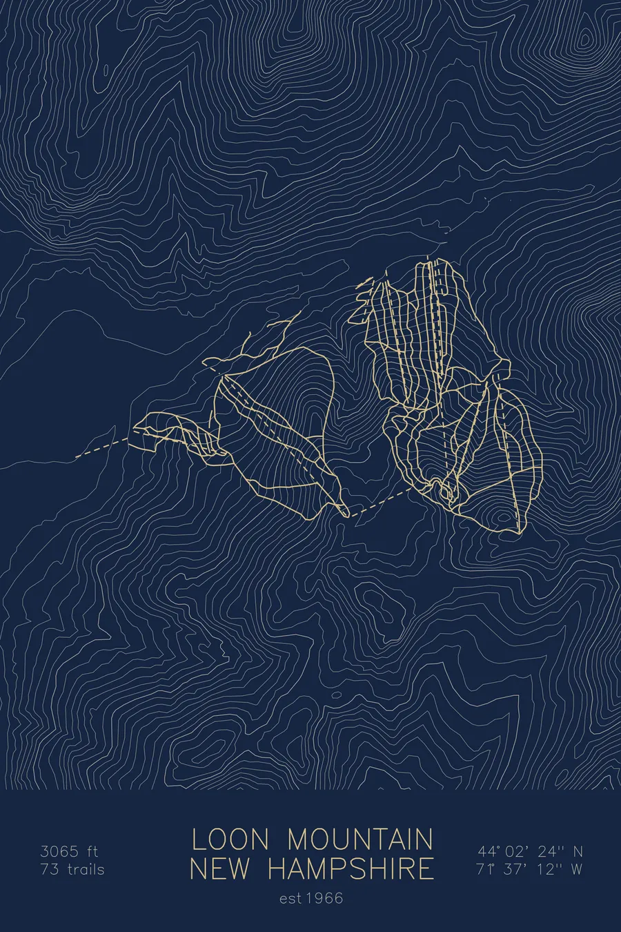
A topographic ski map of Loon Mountain, New Hampshire, with the resort's runs and lifts drawn over real terrain in a minimalist contour-line design.
Founded by Eisenhower's chief of staff after a vicuna coat ended his Washington career.
$63
Ink & paper: Arctic White
Size: 12×18"
+Personalize this map
+ Details
- 12 × 18 inches
- Drawn on 98 lb (160 gsm) archival cotton paper
- Precision technical pens and archival inks
- Signed and dated on the back
- Ships flat, protected, ready to frame
Each map begins with elevation data and is drawn by a pen plotter in our Vermont studio. Mechanical precision, plus the texture and small imperfections of real ink on paper.
Off the screen
In real rooms



















+ About this map
Loon Mountain exists because of a vicuna overcoat. Sherman Adams, Eisenhower’s White House Chief of Staff, was forced to resign in 1958 after a House subcommittee revealed he had accepted the coat, along with an oriental rug, from a textile manufacturer under FTC investigation. Adams went home to Lincoln, New Hampshire, where he had once supervised logging camps, scouted the terrain himself on snowshoes, and opened the ski resort on December 27, 1966. It has since grown into one of New England’s busiest ski areas, with 73 trails spread across three connected peaks at the edge of the White Mountain National Forest.
The skiing is classic New England: winding trails cut through hardwood forest, fast groomed cruisers, and a gondola ride to the 3,065-foot summit with the White Mountains stacked in every direction. The contour lines on this map trace the mountain’s long ridgeline above the river valley.
+ Map details
- Loon Mountain
- New Hampshire
- United States
- New England
- 3,065 ft / 934 m
- 44.0400N 71.6200W
- Ski resort trail map
- Original pen plot, archival ink on cotton paper
- 8 × 12 in · 12 × 18 in · 18 × 24 in
- Est. 1966. 73 trails
More maps