New Hampshire
Mascoma Lake
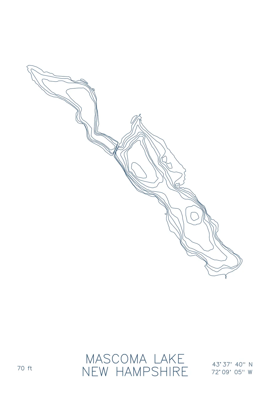
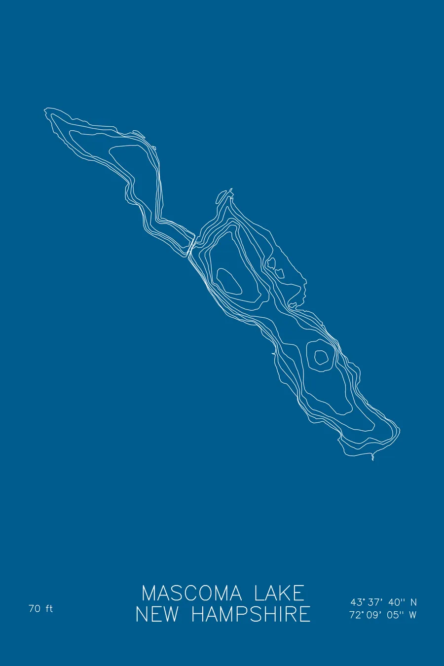
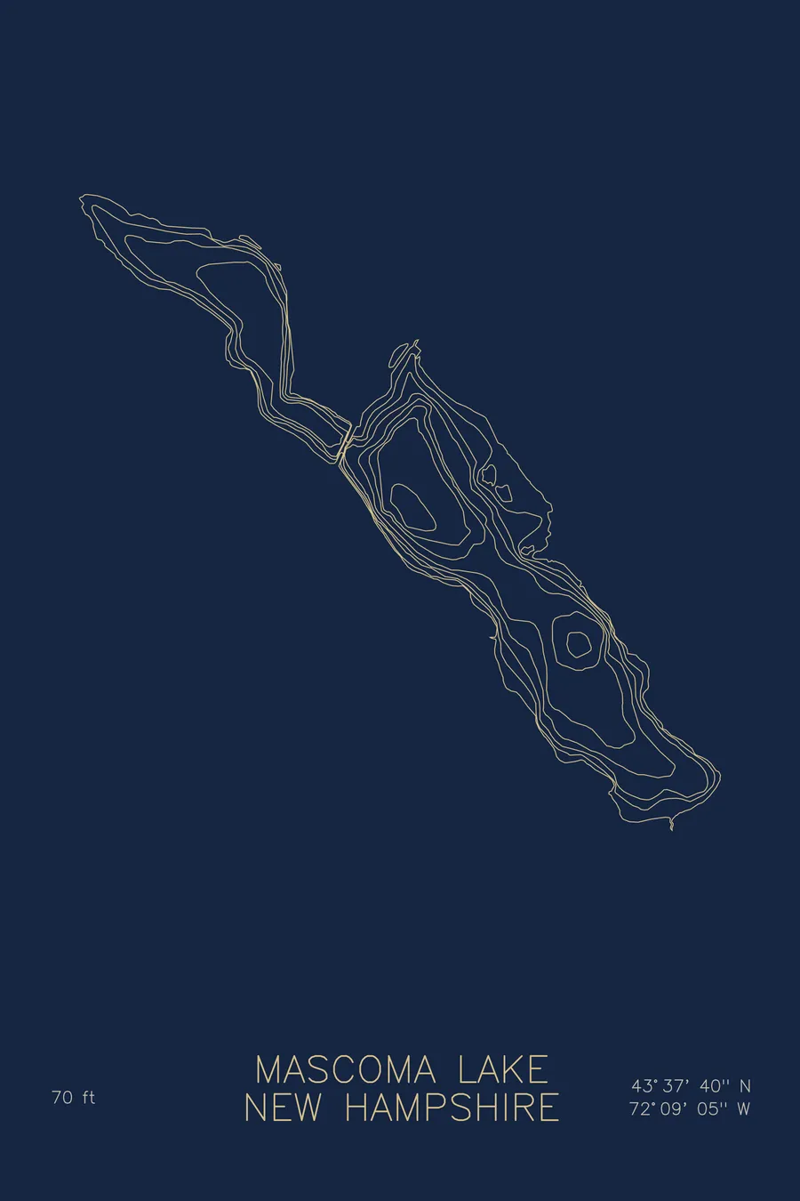
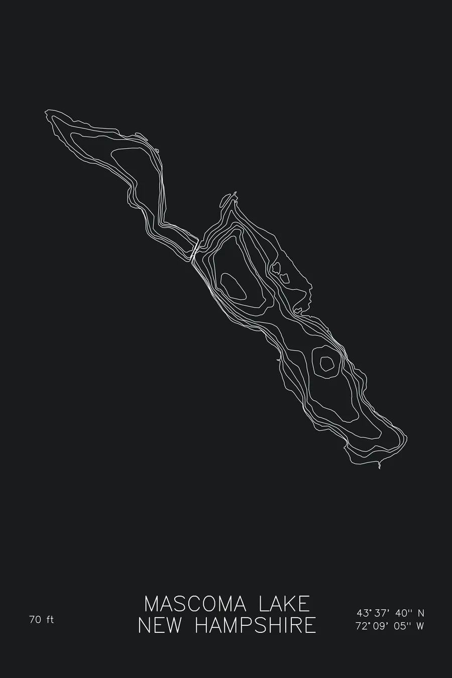
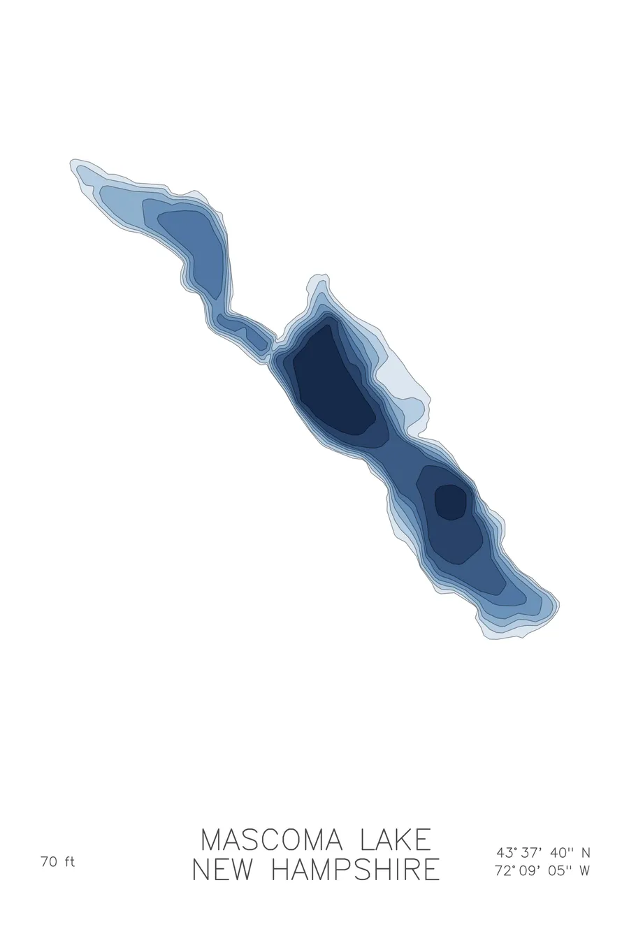
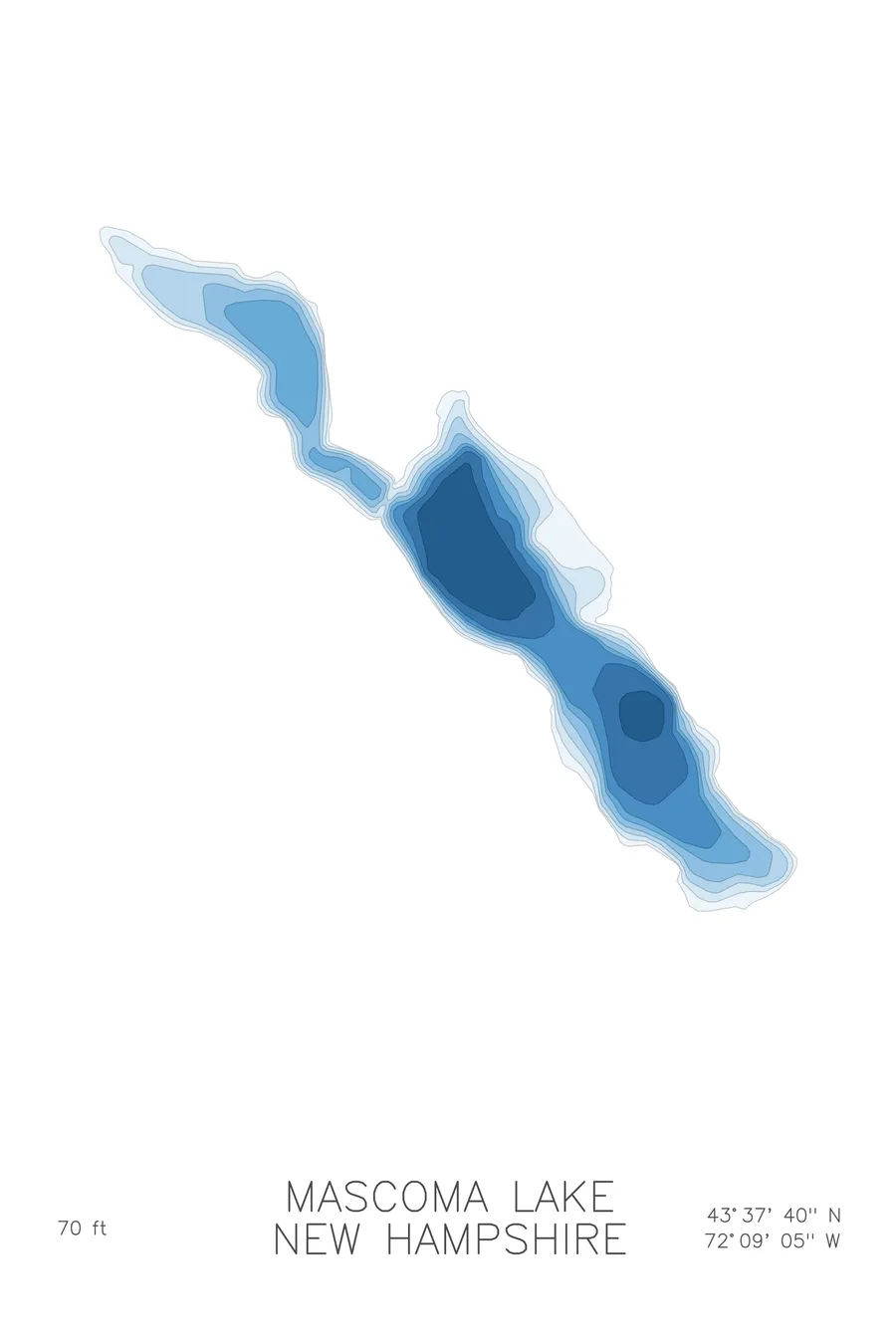
A bathymetric depth map of Mascoma Lake, New Hampshire, drawn from real lake survey data in a minimalist contour-line design.
Max depth 70 ft.
$50
Ink & paper: Lake Blue
Size: 12×18"
+Personalize this map
+ Details
- 12 × 18 inches
- Drawn on 98 lb (160 gsm) archival cotton paper
- Precision technical pens and archival inks
- Signed and dated on the back
- Ships flat, protected, ready to frame
Each map begins with elevation data and is drawn by a pen plotter in our Vermont studio. Mechanical precision, plus the texture and small imperfections of real ink on paper.
Off the screen
In real rooms



















+ About this map
Mascoma Lake lies in the hills of New Hampshire’s Upper Valley near Enfield and Lebanon, a long, narrow lake of about 1,100 acres pressed between wooded ridges. The Shakers settled its eastern shore in the 1790s, and their Great Stone Dwelling still overlooks the water; the Shaker Bridge crosses the lake at its narrowest point.
The depth contours follow the valley that holds the lake. The lines run long and parallel down its length, shallow along the flanks and deepening toward a central channel where the bottom reaches about 70 feet. The map shows a lake shaped by its terrain, pinched at the bridge crossing and opening into broader basins on either side, a quiet piece of New England drawn in clean lines.
+ Map details
- Mascoma Lake
- New Hampshire
- United States
- New England
- 43.6277N 72.1514W
- Lake bathymetric depth map
- Original pen plot, archival ink on cotton paper
- 8 × 12 in · 12 × 18 in · 18 × 24 in
- Max depth 70 ft
More maps