Hawaii
Mauna Loa
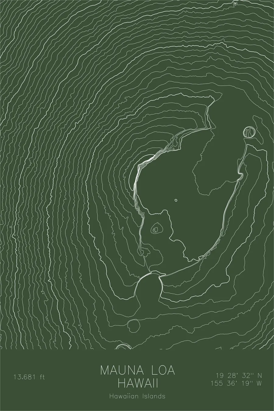
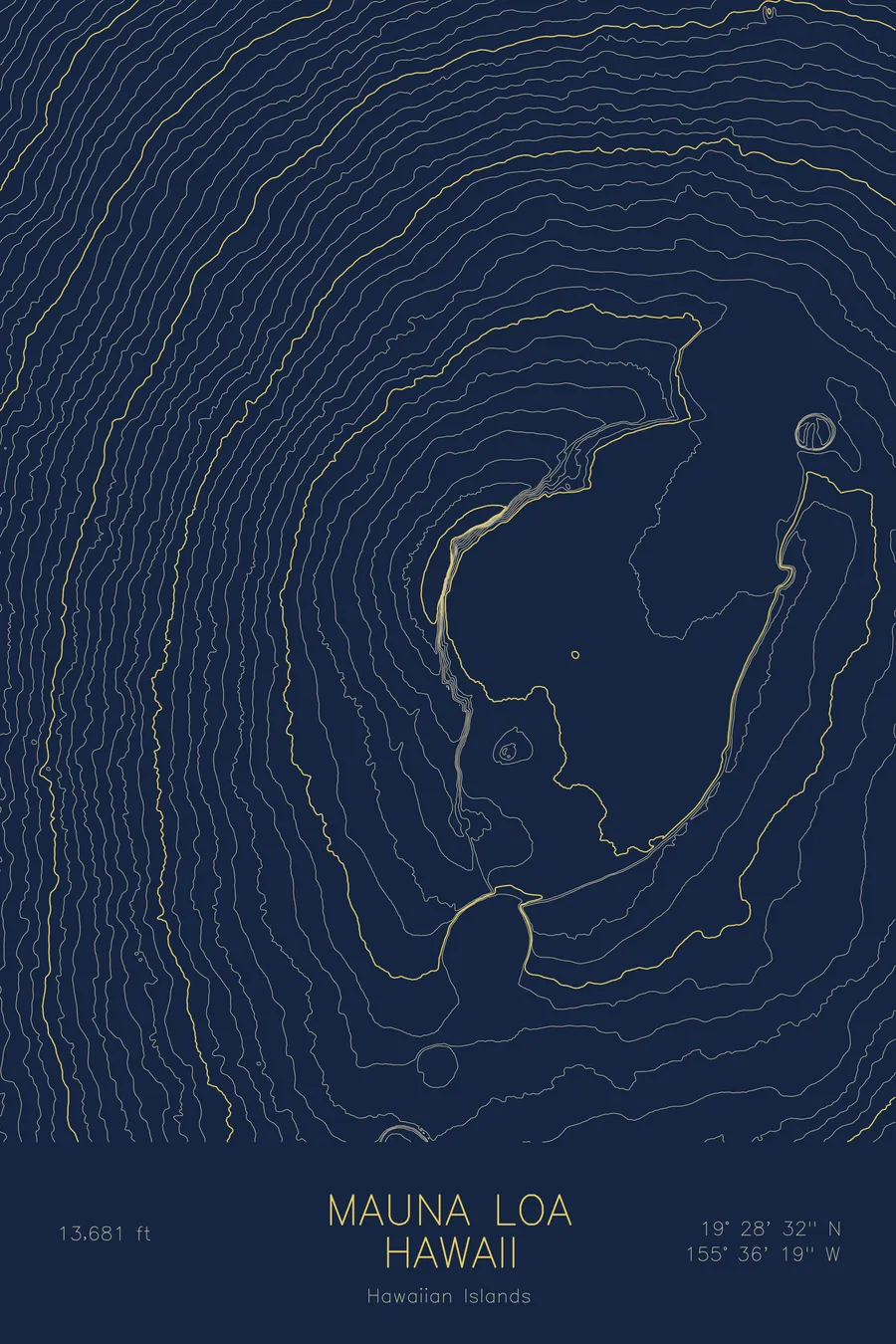
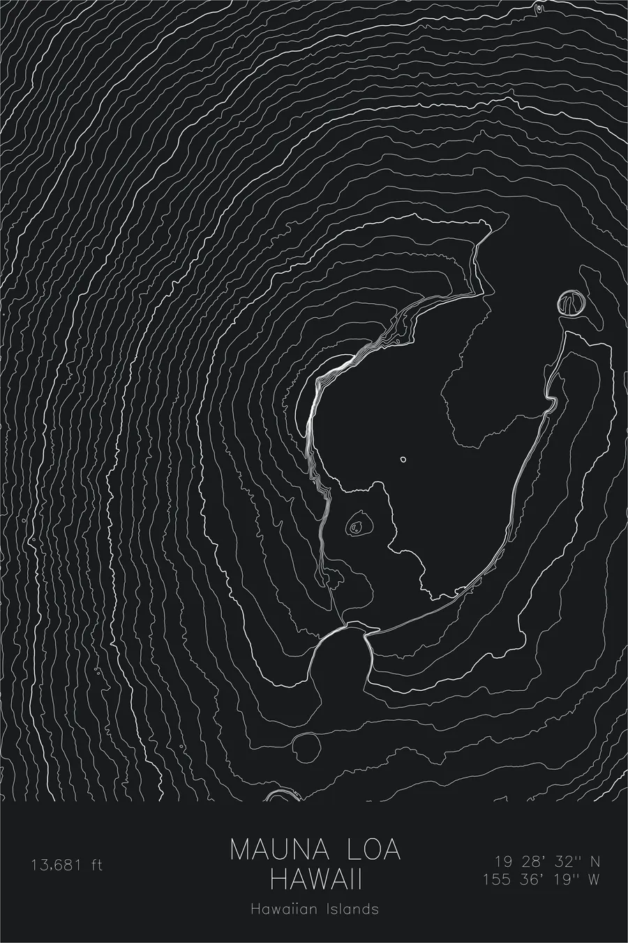
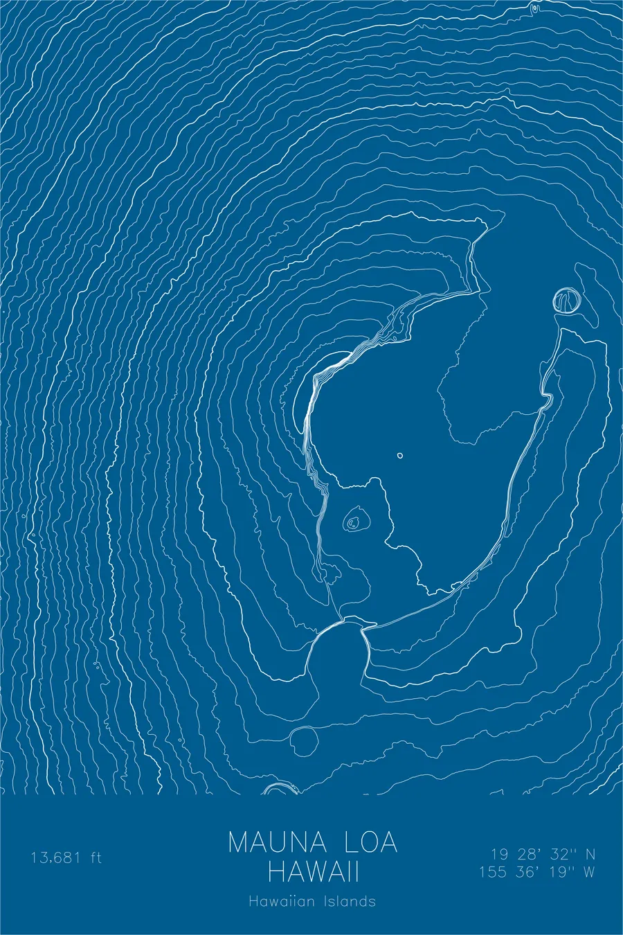
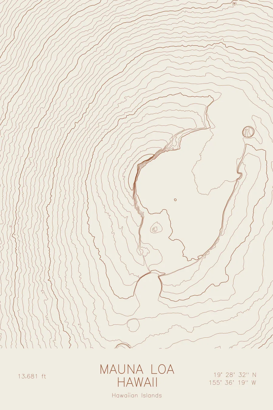
A pen-plotted topographic map of Mauna Loa in the Hawaiian Islands, Hawaii, drawn from real elevation contour data.
Largest active volcano on Earth by volume. 13,681 feet above sea level.
$54
Ink & paper: Black
Size: 12×18"
+Personalize this map
+ Details
- 12 × 18 inches
- Drawn on 98 lb (160 gsm) archival cotton paper
- Precision technical pens and archival inks
- Signed and dated on the back
- Ships flat, protected, ready to frame
Each map begins with elevation data and is drawn by a pen plotter in our Vermont studio. Mechanical precision, plus the texture and small imperfections of real ink on paper.
Off the screen
In real rooms



















+ About this map
Mauna Loa rises to 13,681 feet on the island of Hawaii, the largest active volcano on Earth. Measured from its base on the ocean floor, the mountain stands taller than Everest, and its bulk makes up a large share of the island. The name means “long mountain,” and it is exact: Mauna Loa is a shield volcano, built by countless fluid lava flows into a profile so gradual that from a distance it barely looks like a mountain at all.
The map tells that story in line spacing. Where most peaks in this collection pack their contours into dense walls, Mauna Loa’s lines spread in wide, calm intervals from the coast toward the summit. At the top they gather around Mokuaweoweo, the summit caldera, whose oval outline interrupts the smooth gradient. The lines also hint at the northeast and southwest rift zones, the long fractures along which the volcano’s eruptions repeatedly break out.
+ Map details
- Mauna Loa
- Hawaii
- United States
- Hawaiian Islands
- Hawaiian Islands
- 13,681 ft / 4,169 m
- 19.4756N 155.6054W
- Mountain topographic map
- Original pen plot, archival ink on cotton paper
- 8 × 12 in · 12 × 18 in · 18 × 24 in
- Largest active volcano on Earth by volume
More maps