California
Mount Tamalpais
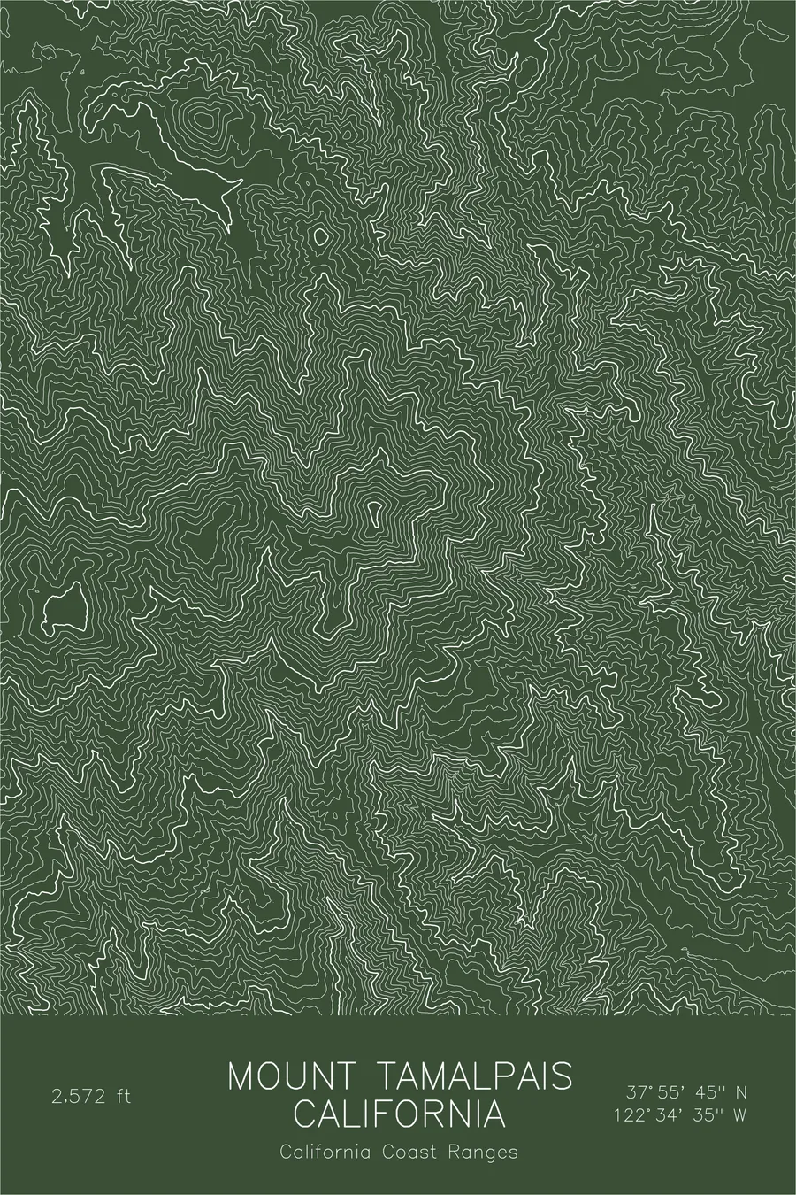
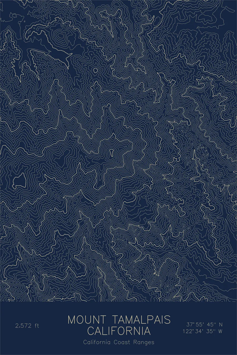
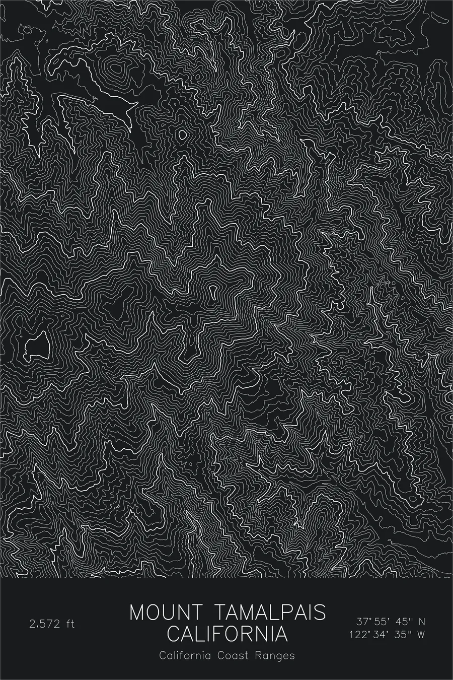
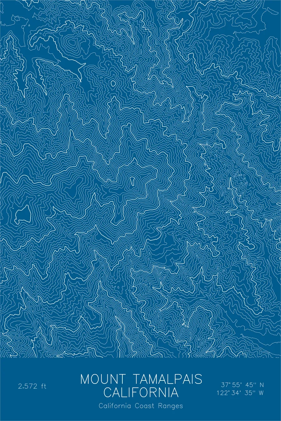
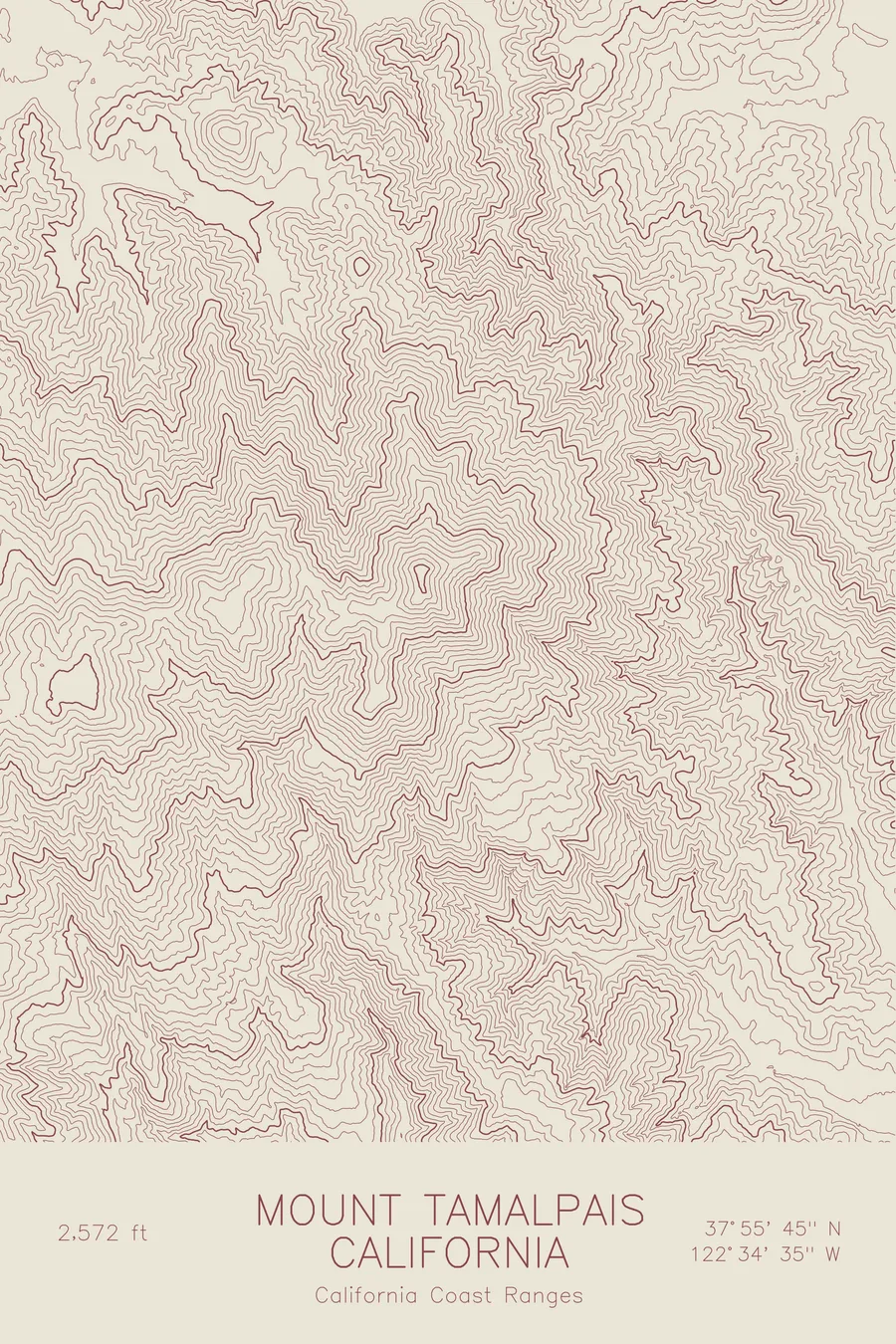
A pen-plotted topographic map of Mount Tamalpais in the California Coast Ranges, California, drawn from real elevation contour data.
Iconic peak overlooking San Francisco Bay. 2,572 feet above sea level.
$54
Ink & paper: Black
Size: 12×18"
+Personalize this map
+ Details
- 12 × 18 inches
- Drawn on 98 lb (160 gsm) archival cotton paper
- Precision technical pens and archival inks
- Signed and dated on the back
- Ships flat, protected, ready to frame
Each map begins with elevation data and is drawn by a pen plotter in our Vermont studio. Mechanical precision, plus the texture and small imperfections of real ink on paper.
Off the screen
In real rooms



















+ About this map
Mount Tamalpais rises to 2,572 feet in the Coast Ranges of Marin County, the peak that defines the skyline north of San Francisco Bay. Its elevation is modest, but the mountain climbs from the Pacific to its summit in only a few miles, so it carries the presence of something far larger. Redwood forest fills the canyons on its lower slopes, including the old-growth groves of Muir Woods at its southern base.
The map shows a mountain shaped by water and fog. Contour lines fold into the deep stream canyons that drain toward the ocean and the bay, including the redwood ravines of the southern flank and the drainages that feed the reservoirs on the north side. The three summits of the crest, East Peak highest among them, sit atop a long ridgeline whose westward descent ends only at the sea cliffs above Stinson Beach.
+ Map details
- Mount Tamalpais
- California
- United States
- California Coast Ranges
- California
- 2,572 ft / 784 m
- 37.9291N 122.5763W
- Mountain topographic map
- Original pen plot, archival ink on cotton paper
- 8 × 12 in · 12 × 18 in · 18 × 24 in
- Iconic peak overlooking San Francisco Bay
More maps