Maine
Moosehead Lake
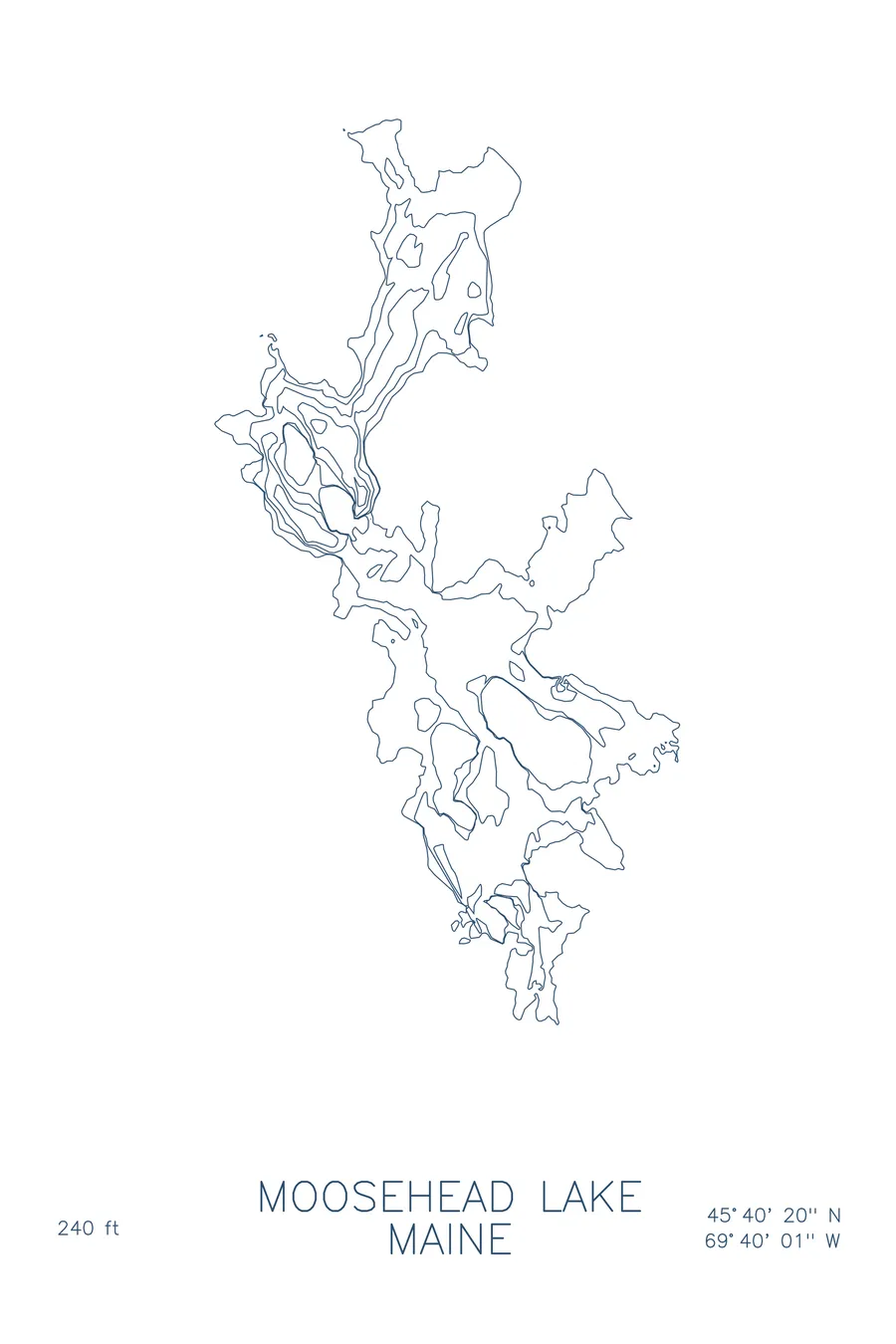
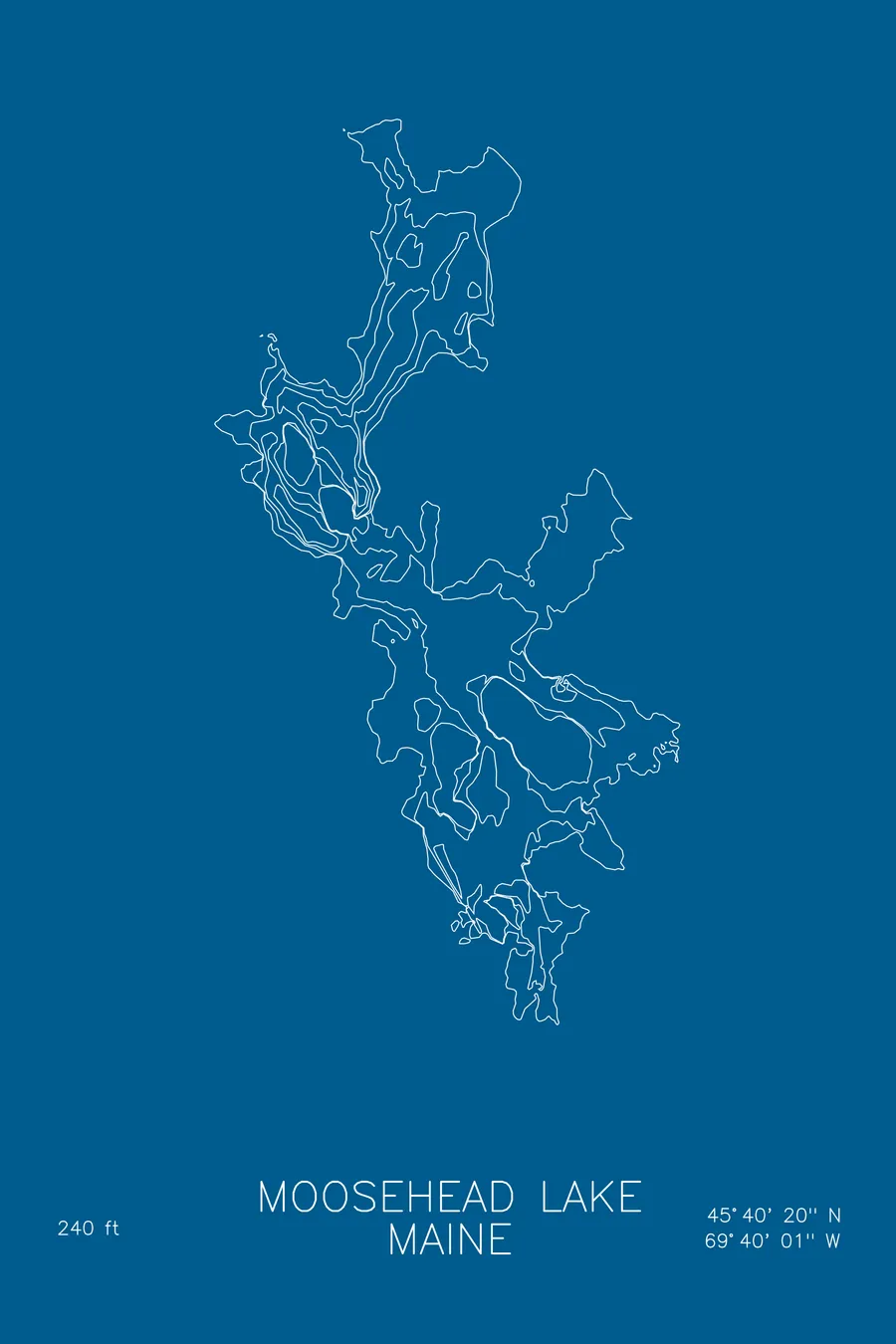
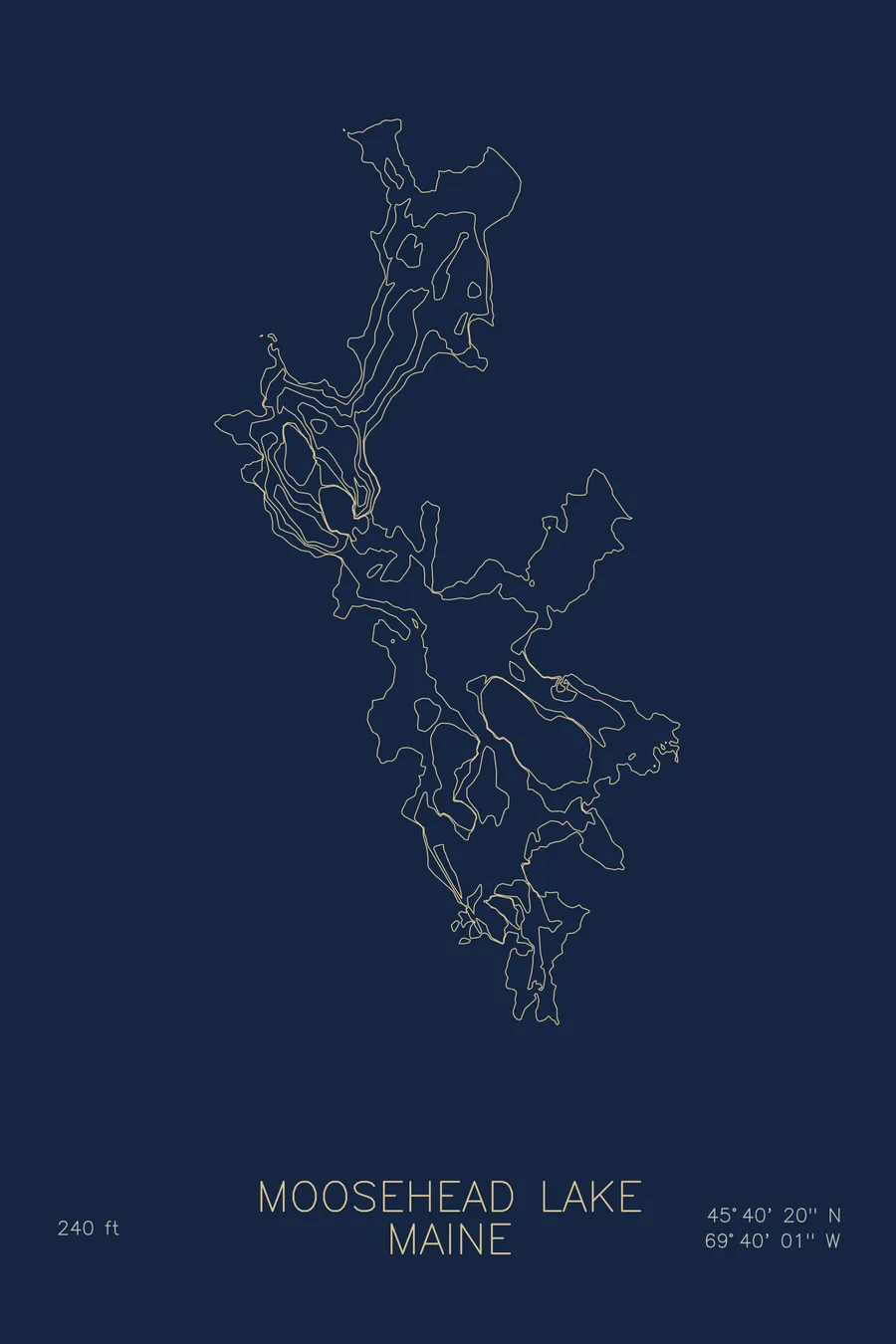
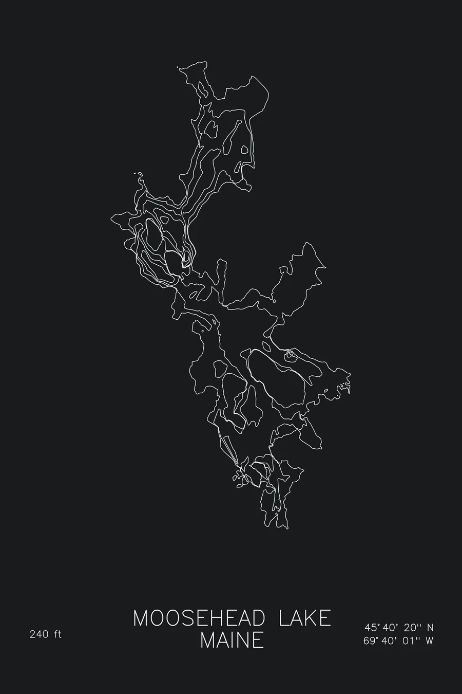
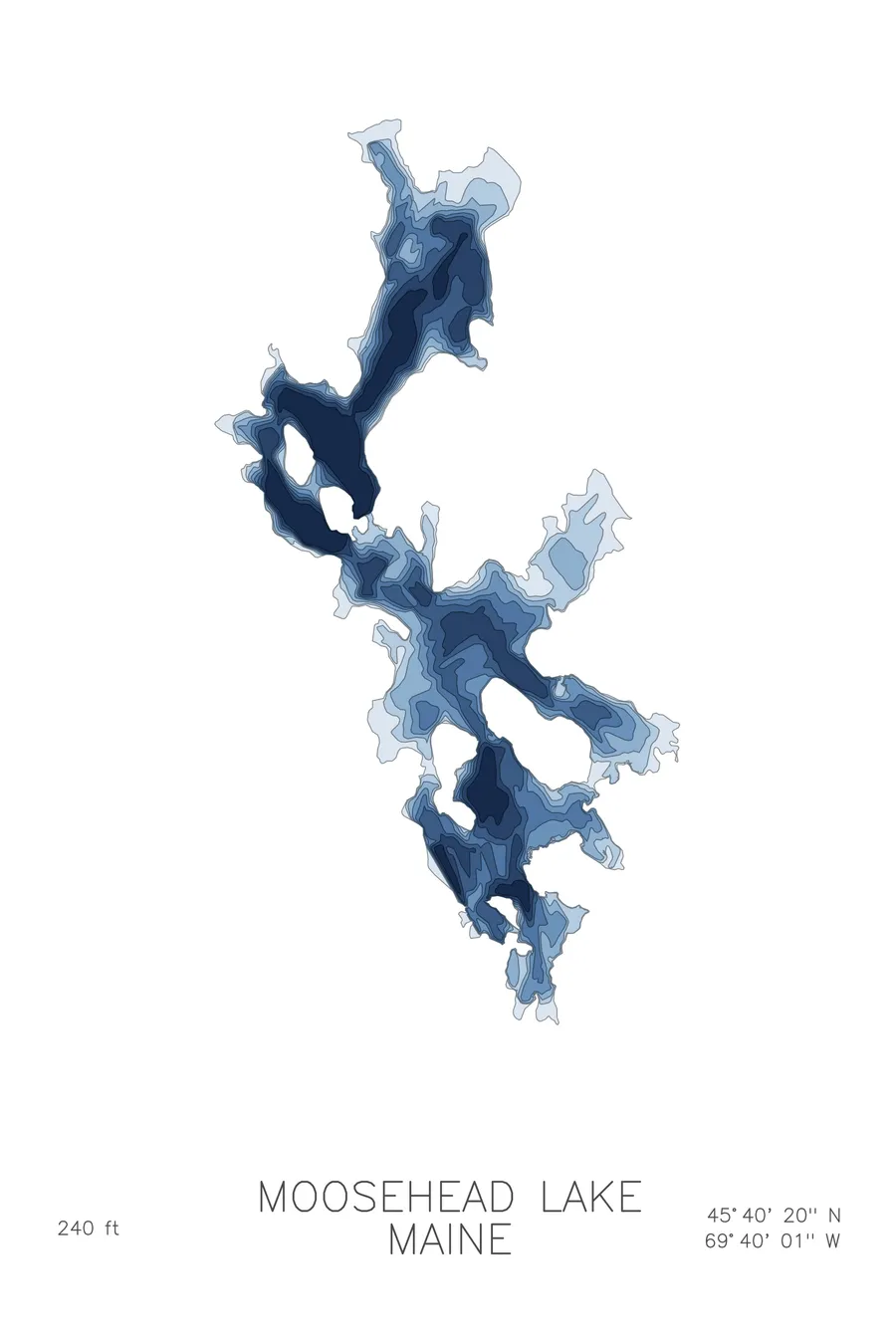
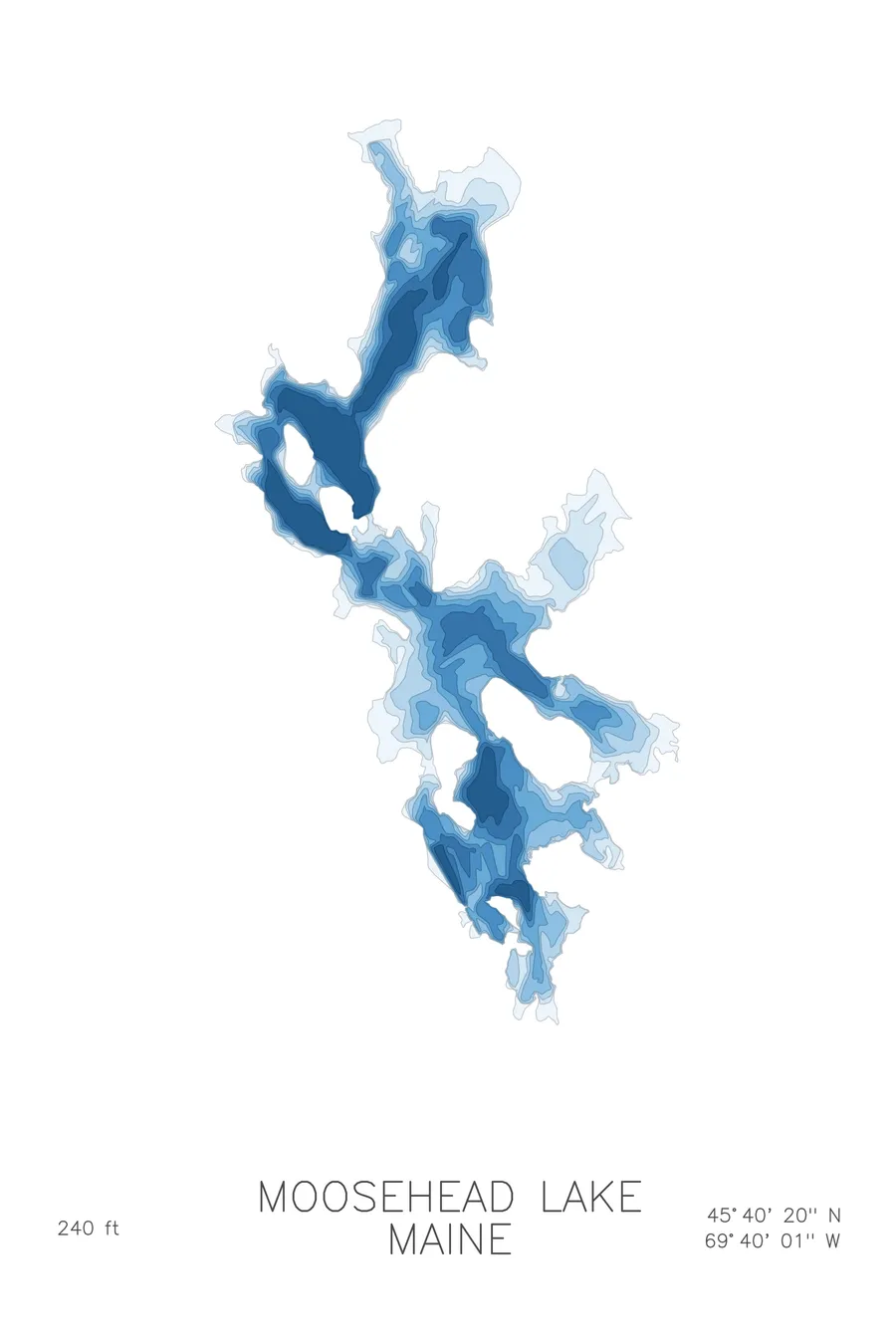
A bathymetric depth map of Moosehead Lake, Maine, drawn from real lake survey data in a minimalist contour-line design.
More than a dozen scuttled steamboats lie on the lake bottom, most sunk in the 1930s.
$50
Ink & paper: Lake Blue
Size: 12×18"
+Personalize this map
+ Details
- 12 × 18 inches
- Drawn on 98 lb (160 gsm) archival cotton paper
- Precision technical pens and archival inks
- Signed and dated on the back
- Ships flat, protected, ready to frame
Each map begins with elevation data and is drawn by a pen plotter in our Vermont studio. Mechanical precision, plus the texture and small imperfections of real ink on paper.
Off the screen
In real rooms



















+ About this map
When roads and automobiles reached the Maine North Woods, Moosehead Lake’s steamboat fleet was dealt with in the straightforward local manner: stripped of anything valuable, burned to the waterline, and sunk. More than a dozen hulls lie on the bottom, most scuttled in the 1930s, and divers have been visiting them since the 1960s, the Twilight II, the Kineo, the Priscilla. Divers off Kineo also turn up green Mount Kineo-brand soda bottles and engraved silverware from the third Mount Kineo House, a five-story hotel with a 400-seat dining room, a bowling alley, and three steam yachts, open beneath Kineo’s cliff from 1884 until 1937. Maine’s largest lake stretches roughly 40 miles through the North Woods.
The depth contours show a lake as irregular below the surface as above it. The deepest water, 240 feet down, gathers in the basin near Kineo, where the cliff face keeps falling long after it leaves the air. Elsewhere the map spreads into wide, gently shelving bays, threads between islands like Sugar and Deer, and reaches north into the remote arms toward Northeast Carry. The contours give shape to a lake most people only ever see one bay at a time.
+ Map details
- Moosehead Lake
- Maine
- United States
- New England
- 45.6721N 69.6669W
- Lake bathymetric depth map
- Original pen plot, archival ink on cotton paper
- 8 × 12 in · 12 × 18 in · 18 × 24 in
- Max depth 240 ft
More maps