Vermont
Mount Abraham
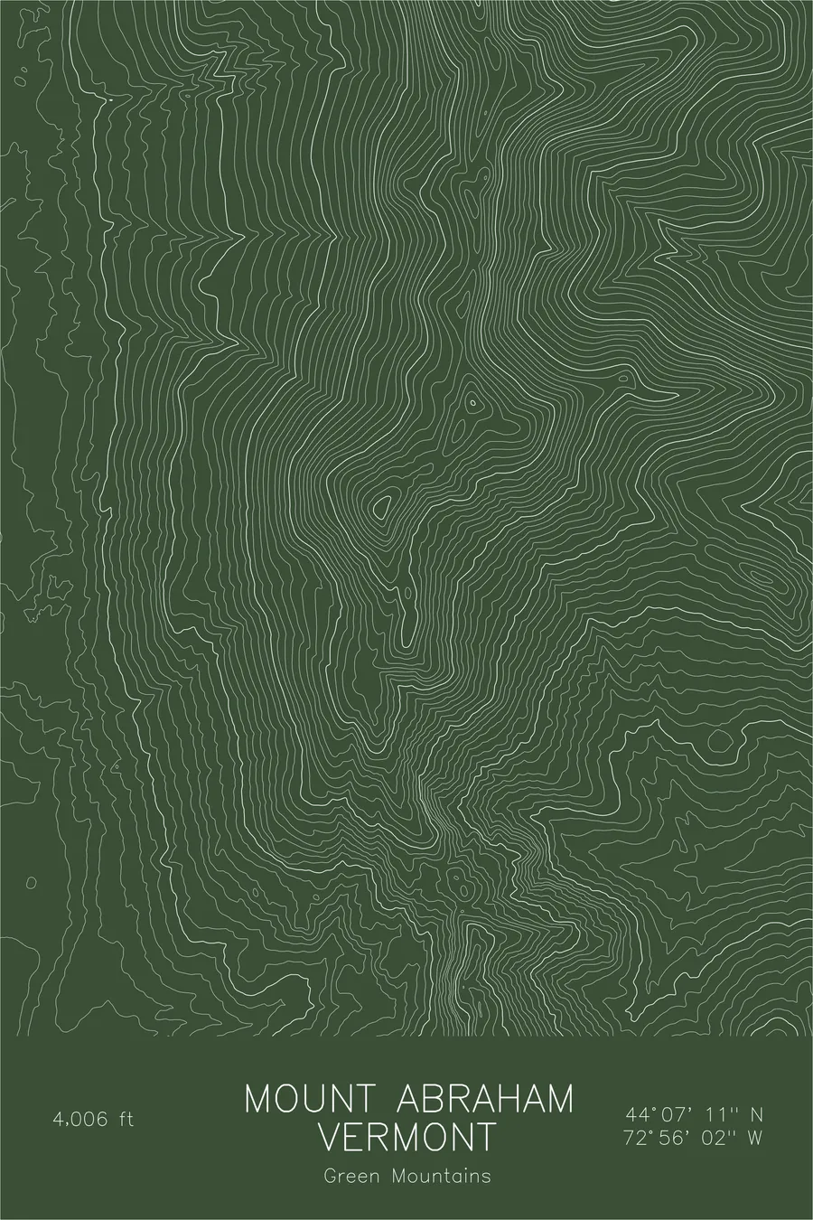
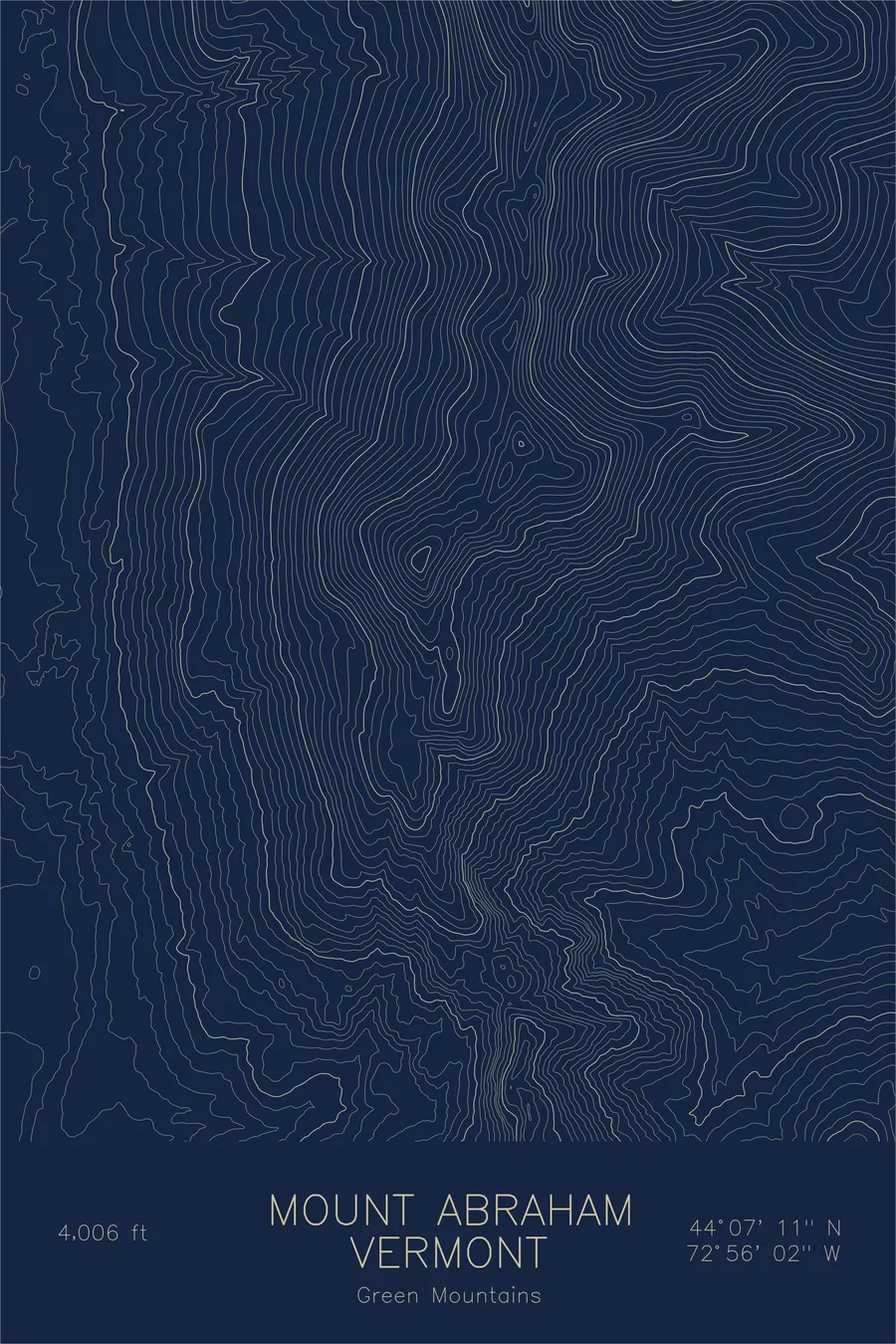
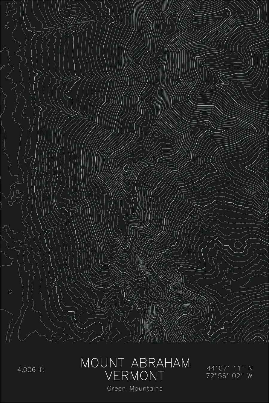
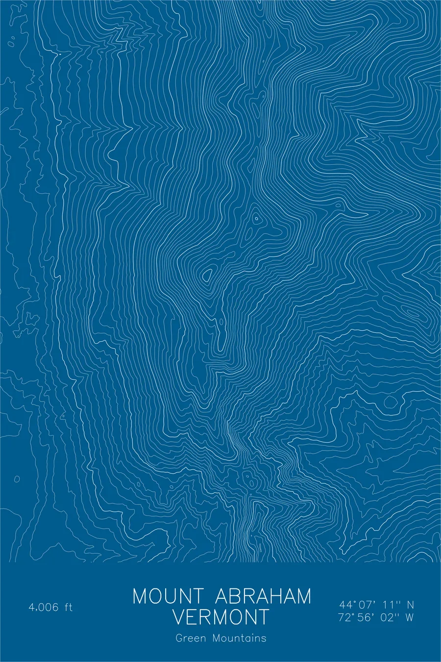
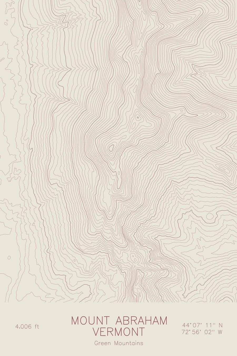
A pen-plotted topographic map of Mount Abraham in the Green Mountains, Vermont, drawn from real elevation contour data.
One of Vermont's five 4,000-footers, Long Trail summit. 4,006 feet above sea level.
$54
Ink & paper: Green
Size: 12×18"
+Personalize this map
+ Details
- 12 × 18 inches
- Drawn on 98 lb (160 gsm) archival cotton paper
- Precision technical pens and archival inks
- Signed and dated on the back
- Ships flat, protected, ready to frame
Each map begins with elevation data and is drawn by a pen plotter in our Vermont studio. Mechanical precision, plus the texture and small imperfections of real ink on paper.
Off the screen
In real rooms



















+ About this map
Mount Abraham rises to 4,006 feet in Vermont’s Green Mountains, one of only five summits in the state that clear the 4,000-foot mark. The Long Trail crosses directly over its top on the ridge walk north of Lincoln Gap, and the open summit holds one of Vermont’s few surviving patches of alpine tundra, a remnant plant community left behind by the last ice age.
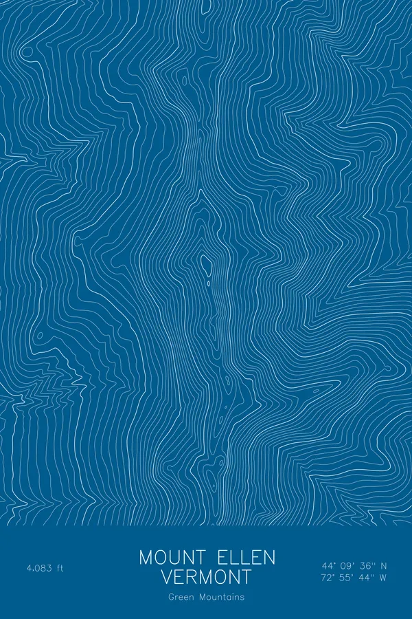
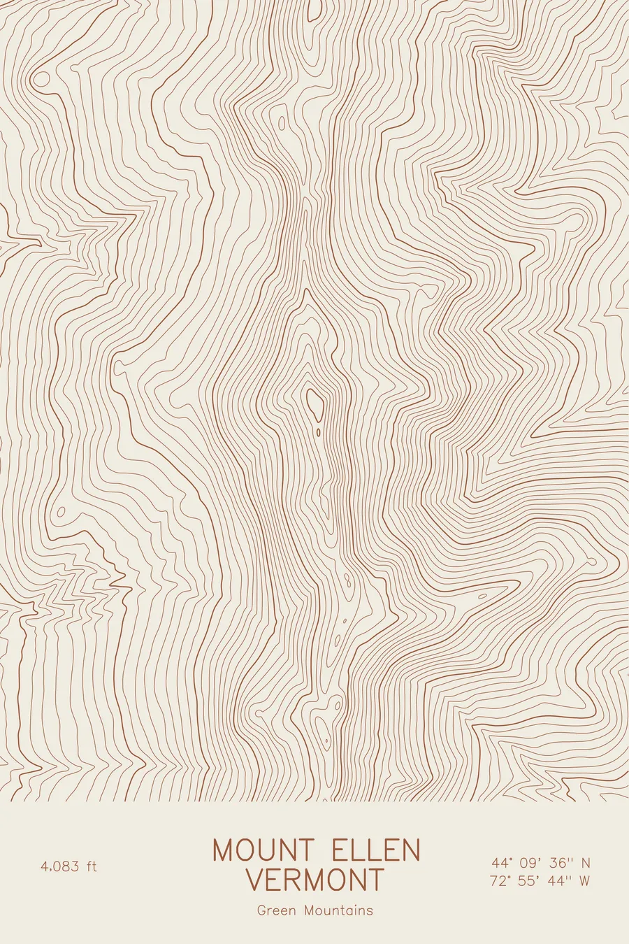
The map shows the signature form of the Green Mountains: a single long ridge running north to south, with contour lines falling away steeply on both flanks, west toward the Champlain Valley and east toward the Mad River country. The lines tighten around the summit cone, then stretch along the connecting crest toward Lincoln Peak and the Mount Ellen massif, tracing the same high ground the Long Trail follows through this stretch of the range.
+ Map details
- Mount Abraham
- Vermont
- United States
- Green Mountains
- New England
- 4,006 ft / 1,221 m
- 44.1197N 72.9339W
- Mountain topographic map
- Original pen plot, archival ink on cotton paper
- 8 × 12 in · 12 × 18 in · 18 × 24 in
- One of Vermont's five 4,000-footers, Long Trail summit
More maps