Colorado
Mount Bierstadt
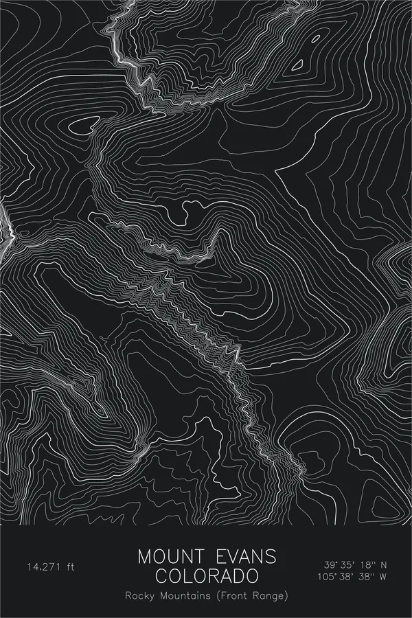
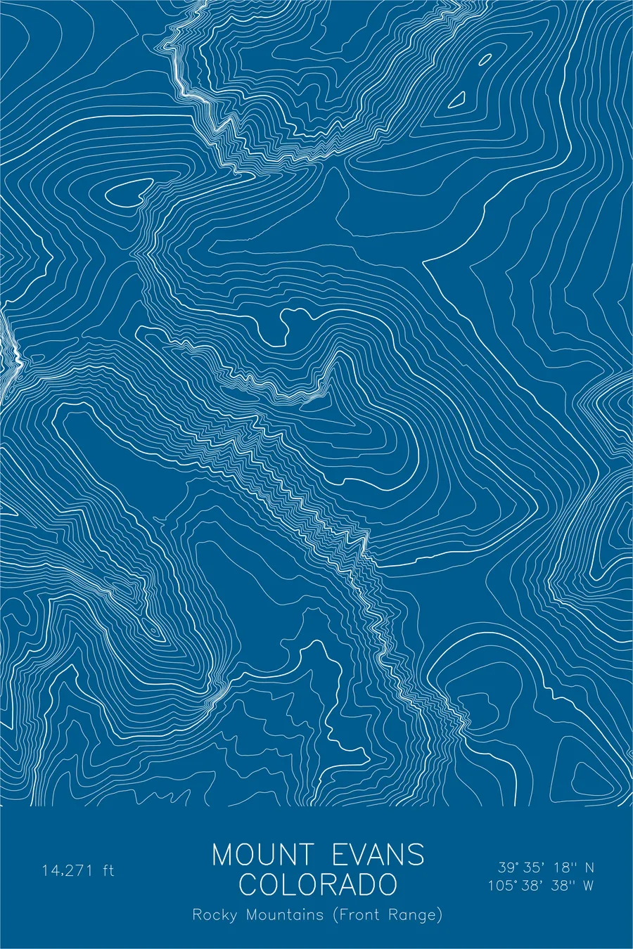
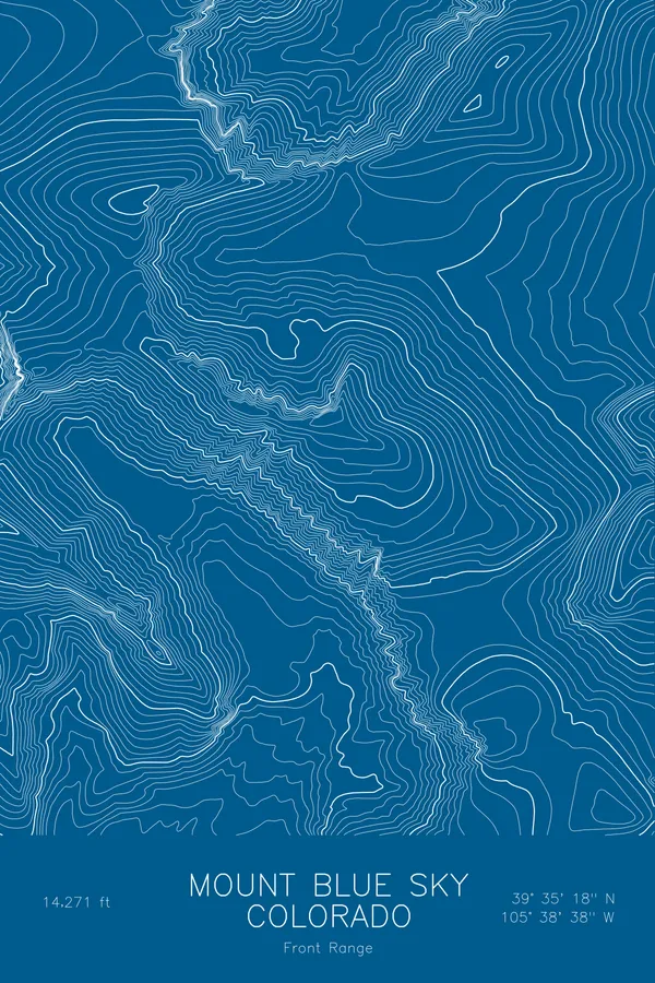
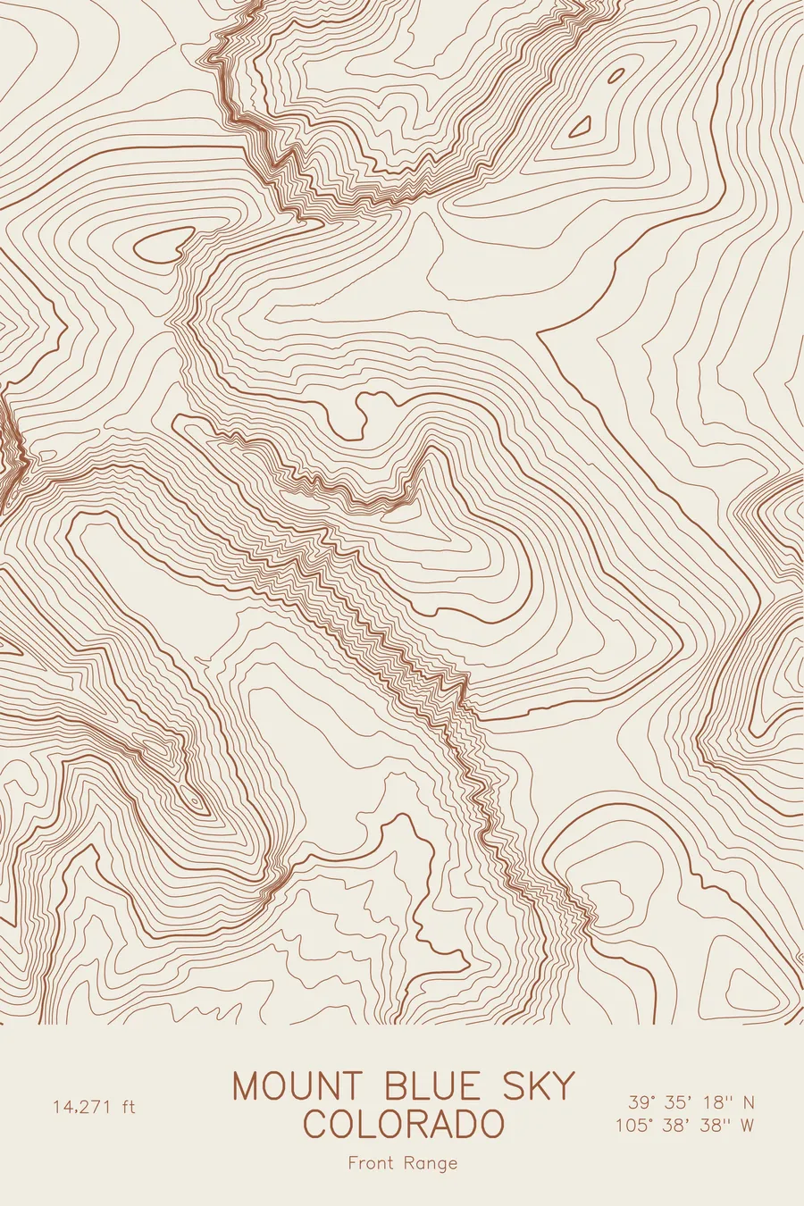
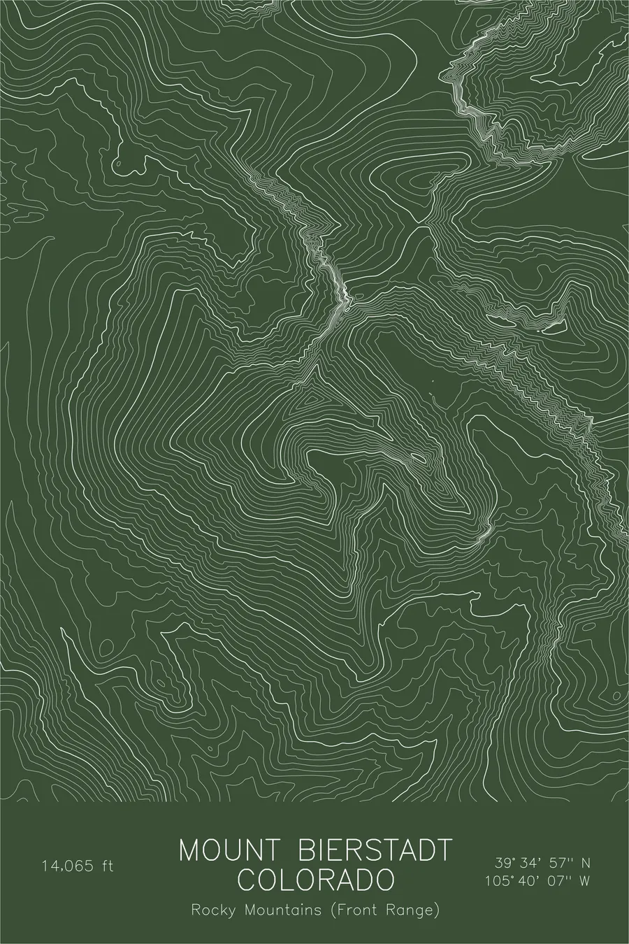
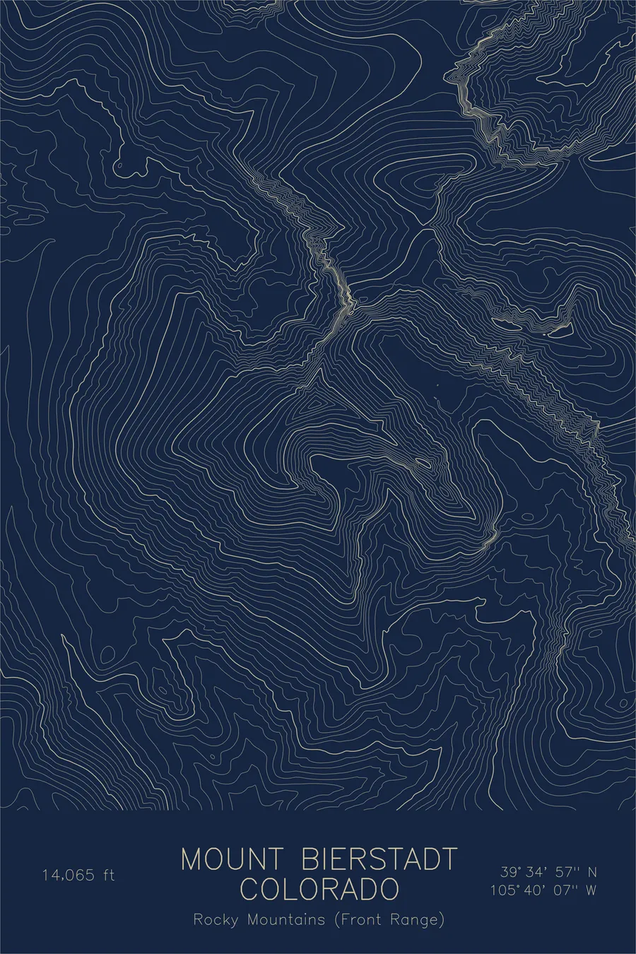
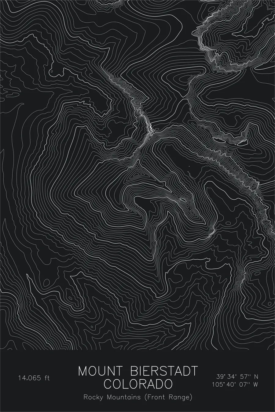
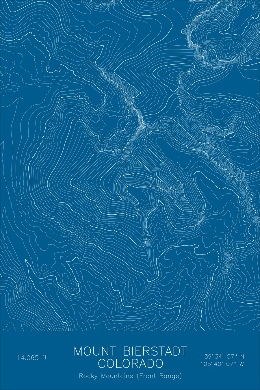
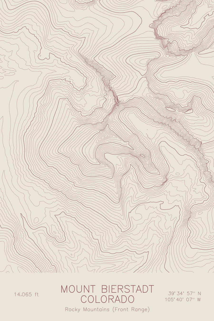
A pen-plotted topographic map of Mount Bierstadt in the Front Range, Colorado, drawn from real elevation contour data.
Popular accessible Colorado 14er near Denver. 14,065 feet above sea level.
$54
Ink & paper: Black
Size: 12×18"
+Personalize this map
+ Details
- 12 × 18 inches
- Drawn on 98 lb (160 gsm) archival cotton paper
- Precision technical pens and archival inks
- Signed and dated on the back
- Ships flat, protected, ready to frame
Each map begins with elevation data and is drawn by a pen plotter in our Vermont studio. Mechanical precision, plus the texture and small imperfections of real ink on paper.
Off the screen
In real rooms



















+ About this map
Mount Bierstadt stands at 14,065 feet in Colorado’s Front Range, named for Albert Bierstadt, the painter whose canvases introduced much of America to the Rocky Mountains. The standard route begins at Guanella Pass, already above 11,000 feet, which makes this one of the most accessible and most climbed fourteeners in the state. For many Colorado hikers it is the first summit over 14,000 feet they ever reach.
The map shows the contrast that defines the mountain. Contour lines spread gently across the broad western slopes above the willow flats of Scott Gomer Creek, then compress sharply along the Sawtooth, the serrated ridge that connects Bierstadt to Mount Blue Sky. Below that ridge the lines carve out the deep glacial cirque holding Abyss Lake, a reminder that even the friendliest fourteener keeps rough country on its far side.
+ Map details
- Mount Bierstadt
- Colorado
- United States
- Rocky Mountains (Front Range)
- Rocky Mountains
- 14,065 ft / 4,287 m
- 39.5825N 105.6686W
- Mountain topographic map
- Original pen plot, archival ink on cotton paper
- 8 × 12 in · 12 × 18 in · 18 × 24 in
- Popular accessible Colorado 14er near Denver
More maps