New Hampshire
Mount Carrigain
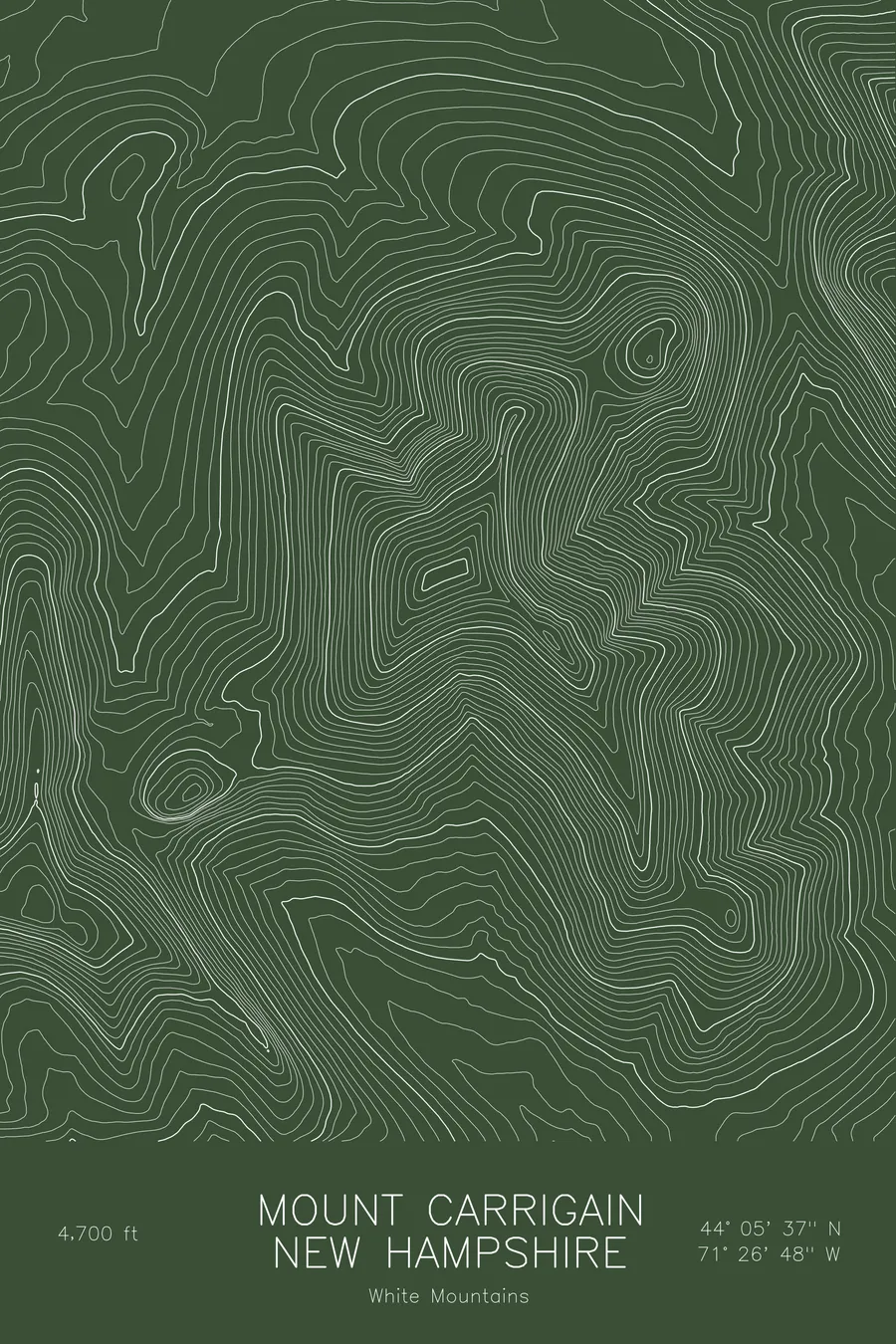
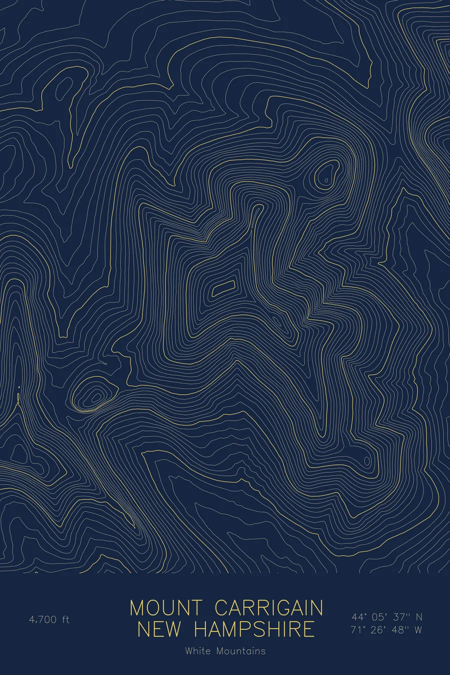
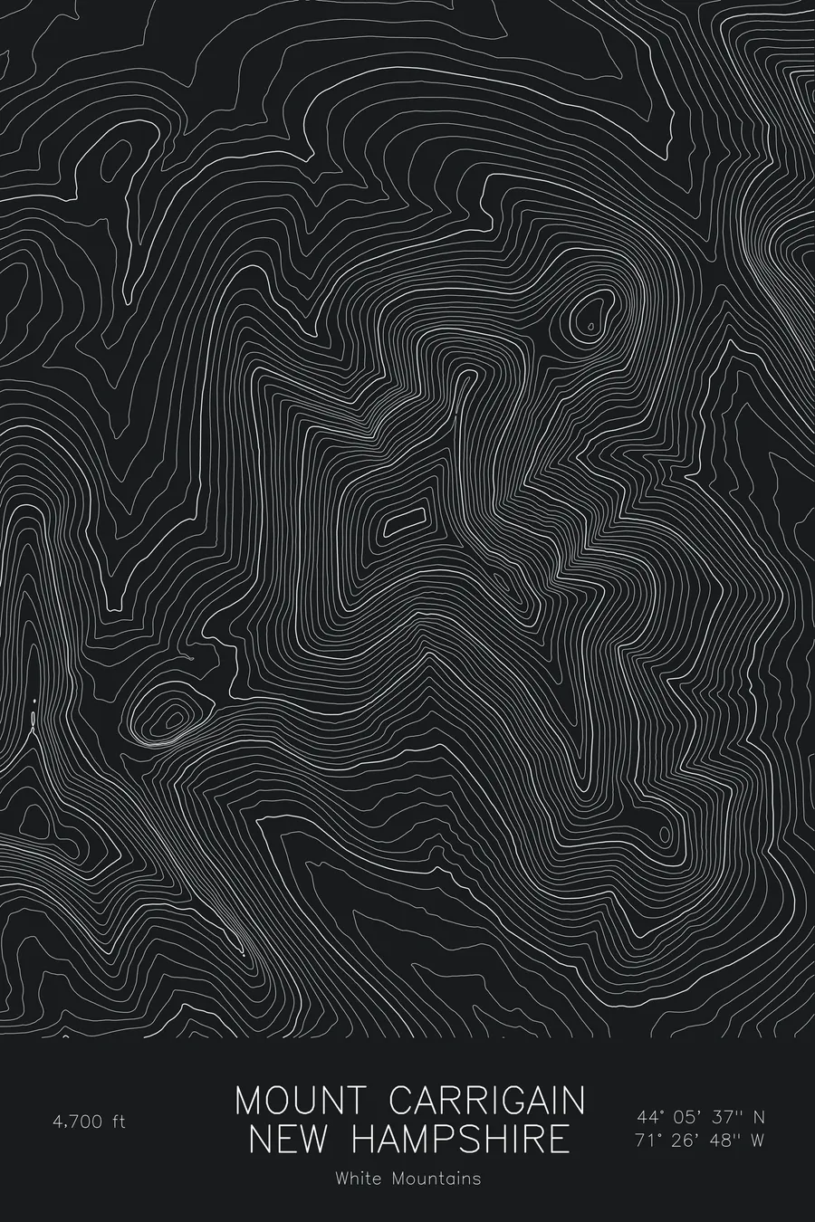
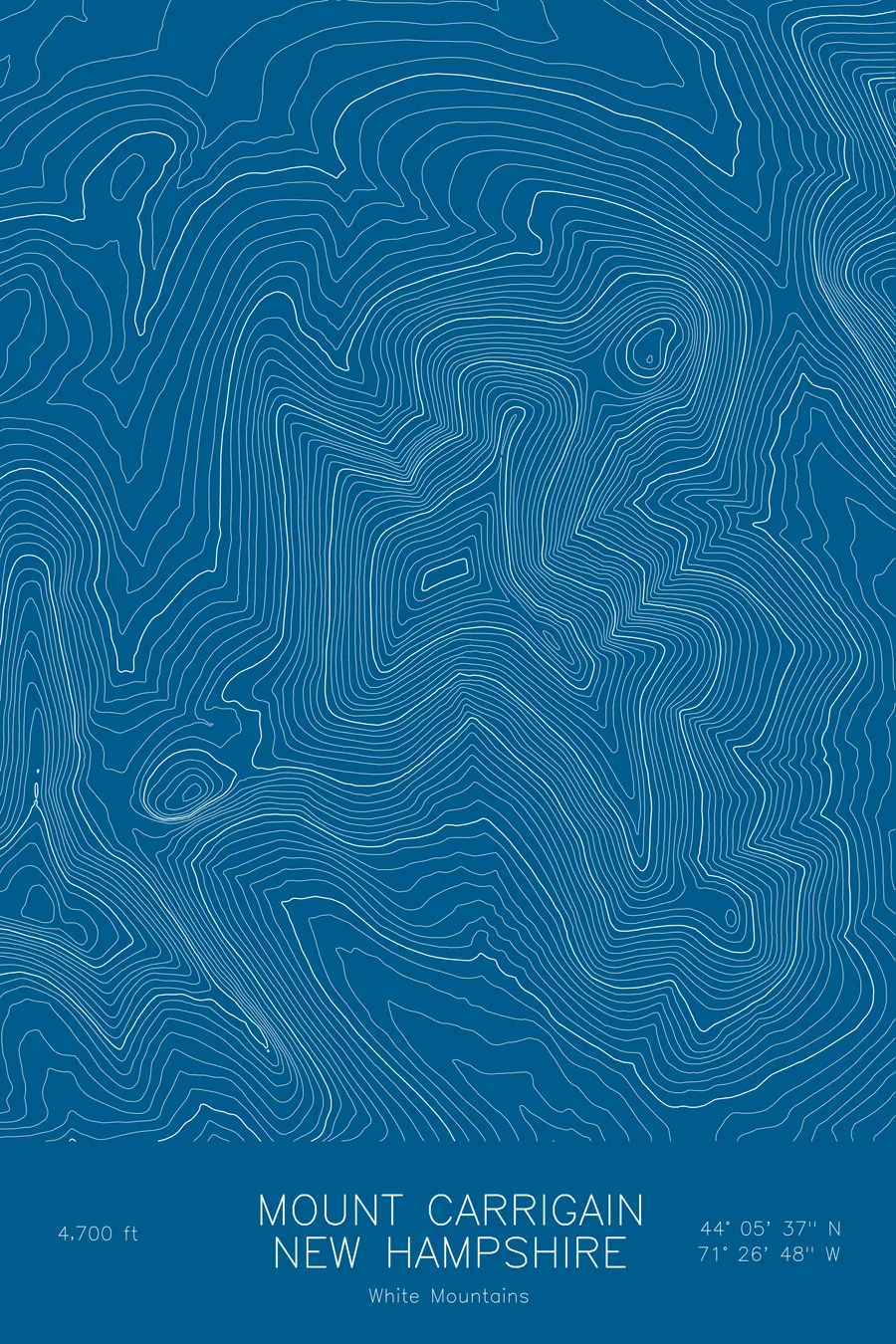
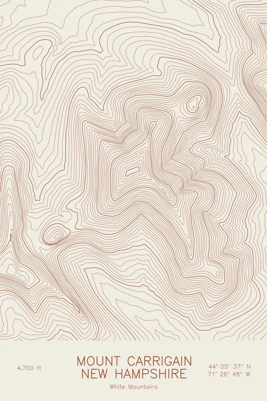
A pen-plotted topographic map of Mount Carrigain in the White Mountains, New Hampshire, drawn from real elevation contour data.
Fire-tower summit with a panorama of the Pemigewasset Wilderness. 4,700 feet above sea level.
$54
Ink & paper: Blue
Size: 12×18"
+Personalize this map
+ Details
- 12 × 18 inches
- Drawn on 98 lb (160 gsm) archival cotton paper
- Precision technical pens and archival inks
- Signed and dated on the back
- Ships flat, protected, ready to frame
Each map begins with elevation data and is drawn by a pen plotter in our Vermont studio. Mechanical precision, plus the texture and small imperfections of real ink on paper.
Off the screen
In real rooms



















+ About this map
Mount Carrigain rises to 4,700 feet in the heart of New Hampshire’s White Mountains, set deep enough in the Pemigewasset Wilderness that no road comes close. The fire tower on its summit gives one of the most complete panoramas in the range, with the Presidentials, Franconia Ridge, and the Bonds all in view, which is why it remains a favorite among the state’s 4,000-footers despite the long walk in.
This map traces a mountain that stands slightly apart from its neighbors. The contour lines pile up along Signal Ridge, the long spur that carries the trail to the summit, and drop away steeply on the east into Carrigain Notch, the deep gap that separates the peak from Mount Lowell. Within this frame the terrain falls nearly 2,800 feet from the summit cone to the valley floors, and the wide spacing of the lower contours shows how quickly the wilderness flattens out once the ridges let go.
+ Map details
- Mount Carrigain
- New Hampshire
- United States
- White Mountains
- White Mountains
- 4,700 ft / 1,433 m
- 44.0936N 71.4468W
- Mountain topographic map
- Original pen plot, archival ink on cotton paper
- 8 × 12 in · 12 × 18 in · 18 × 24 in
- Fire-tower summit with a panorama of the Pemigewasset Wilderness
More maps