New Hampshire
Mount Lafayette
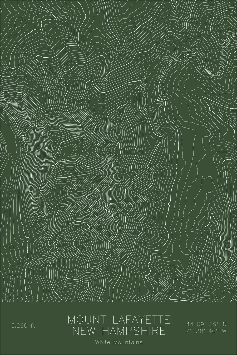
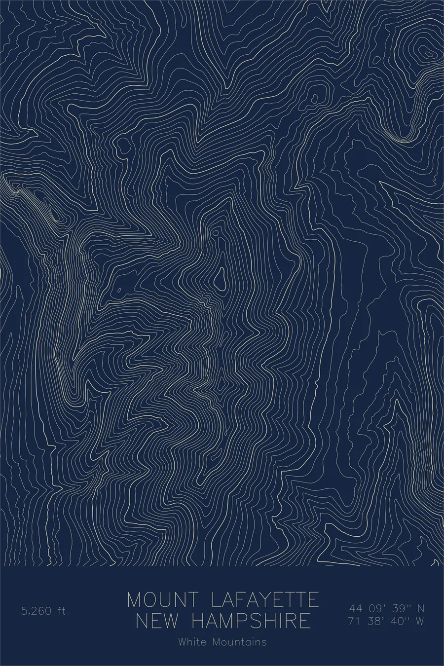
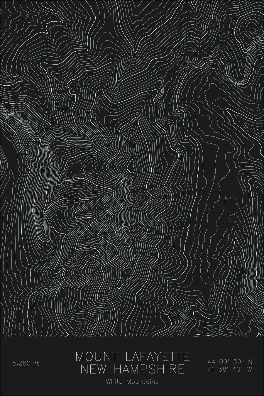
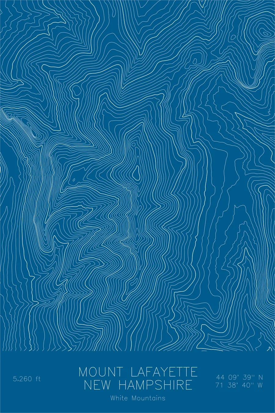
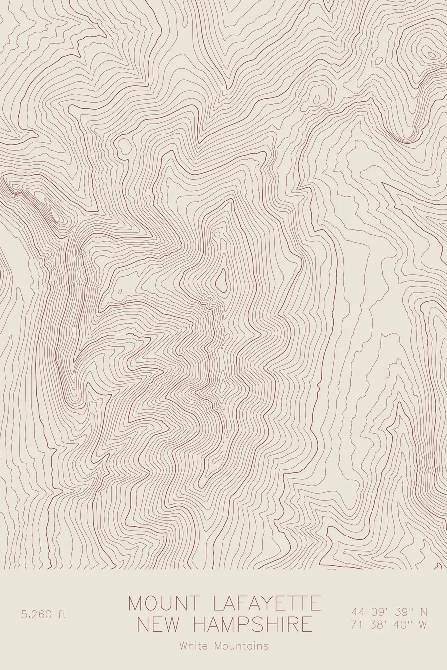
A pen-plotted topographic map of Mount Lafayette in the White Mountains, New Hampshire, drawn from real elevation contour data.
Highest peak in Franconia Ridge, iconic NH traverse. 5,260 feet above sea level.
$54
Ink & paper: Green
Size: 12×18"
+Personalize this map
+ Details
- 12 × 18 inches
- Drawn on 98 lb (160 gsm) archival cotton paper
- Precision technical pens and archival inks
- Signed and dated on the back
- Ships flat, protected, ready to frame
Each map begins with elevation data and is drawn by a pen plotter in our Vermont studio. Mechanical precision, plus the texture and small imperfections of real ink on paper.
Off the screen
In real rooms



















+ About this map
Mount Lafayette rises 5,260 feet above Franconia Notch in New Hampshire’s White Mountains, the highest summit of the Franconia Range and the high point of one of the most celebrated ridge walks in the East. The loop over Lafayette, Mount Lincoln, and Little Haystack runs for well over a mile above treeline, an open alpine crest named for the French general who fought in the American Revolution.
This map shows why the ridge feels the way it does. The contour lines fall away steeply on the western side, where the mountain drops more than 3,000 feet into Franconia Notch, and the crest itself appears as a thin, continuous line of tight curves running south toward Lincoln and Little Haystack. On the gentler eastern slopes, the lines open into the drainages of the Pemigewasset Wilderness, one of the largest roadless areas in the Northeast.
+ Map details
- Mount Lafayette
- New Hampshire
- United States
- White Mountains
- New England
- 5,260 ft / 1,603 m
- 44.1608N 71.6444W
- Mountain topographic map
- Original pen plot, archival ink on cotton paper
- 8 × 12 in · 12 × 18 in · 18 × 24 in
- Highest peak in Franconia Ridge, iconic NH traverse
More maps