Colorado
Mount Evans
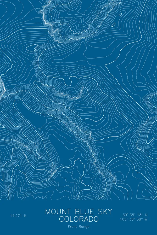
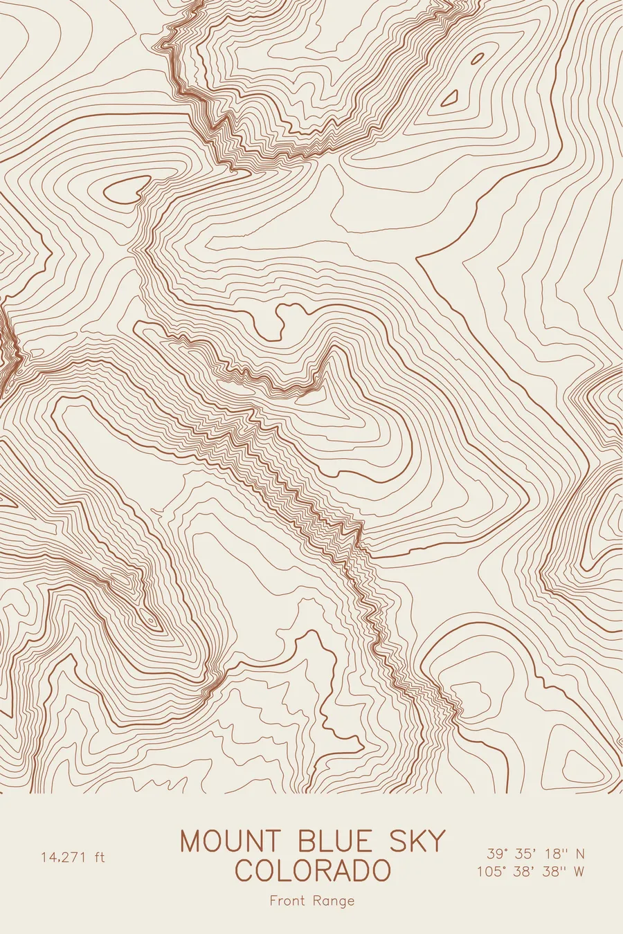
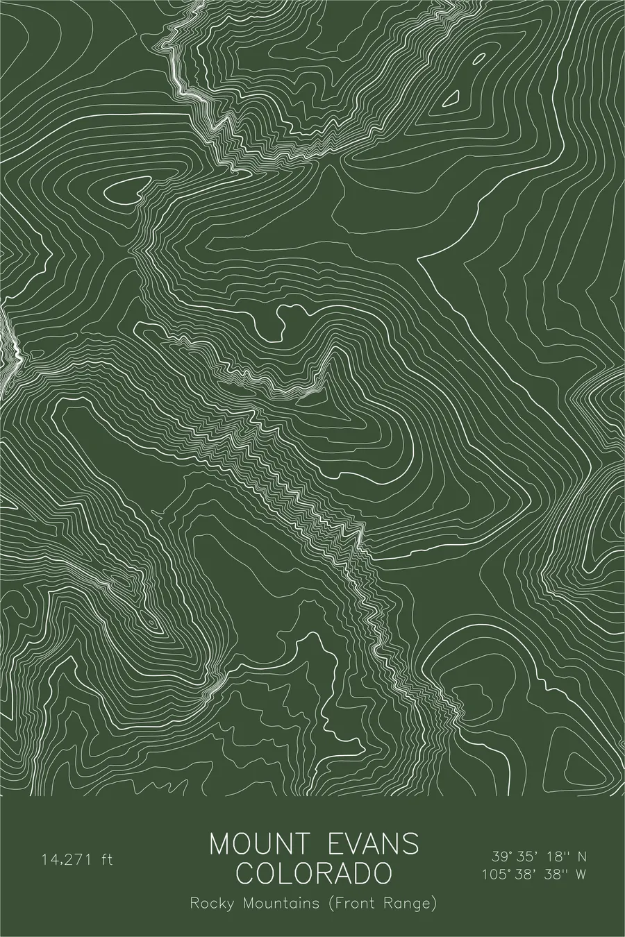
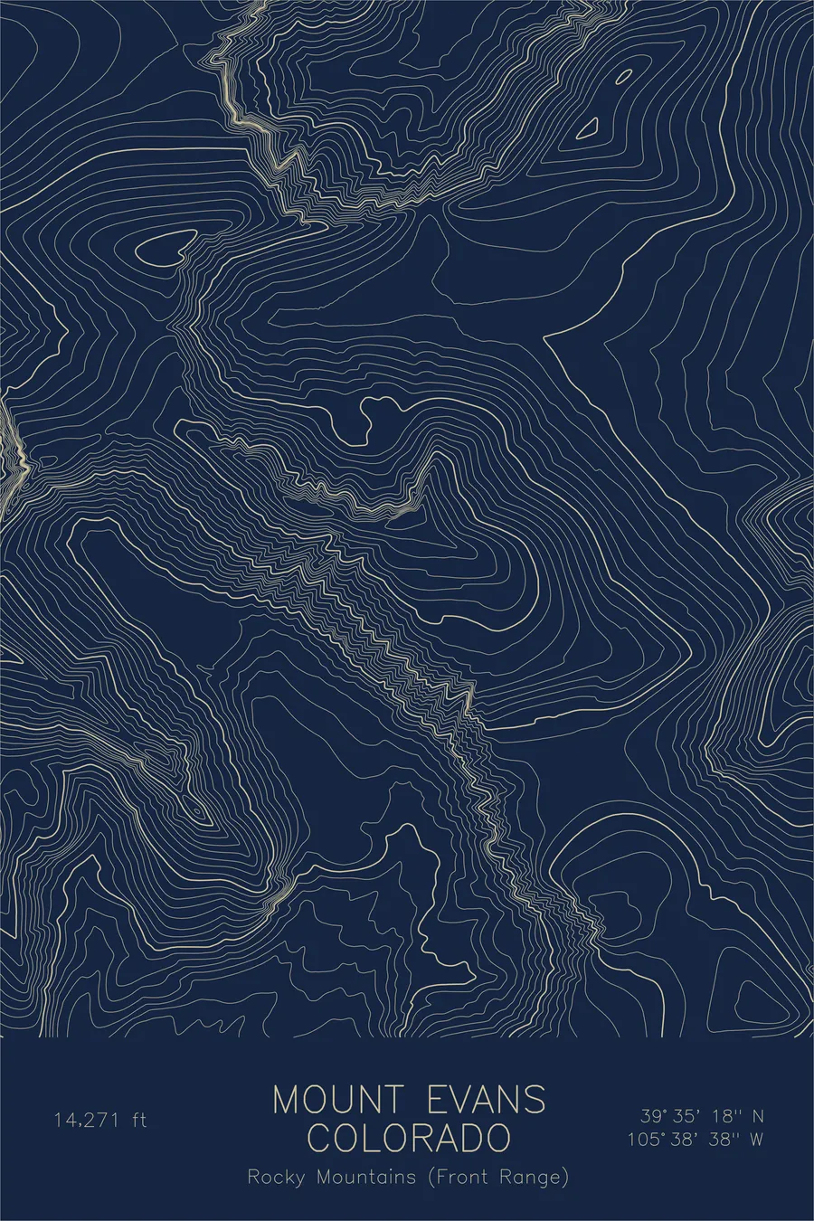
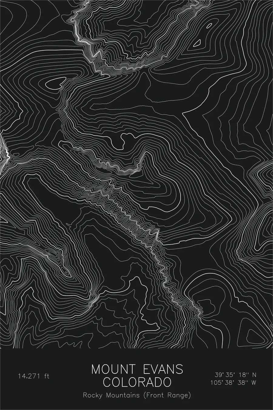
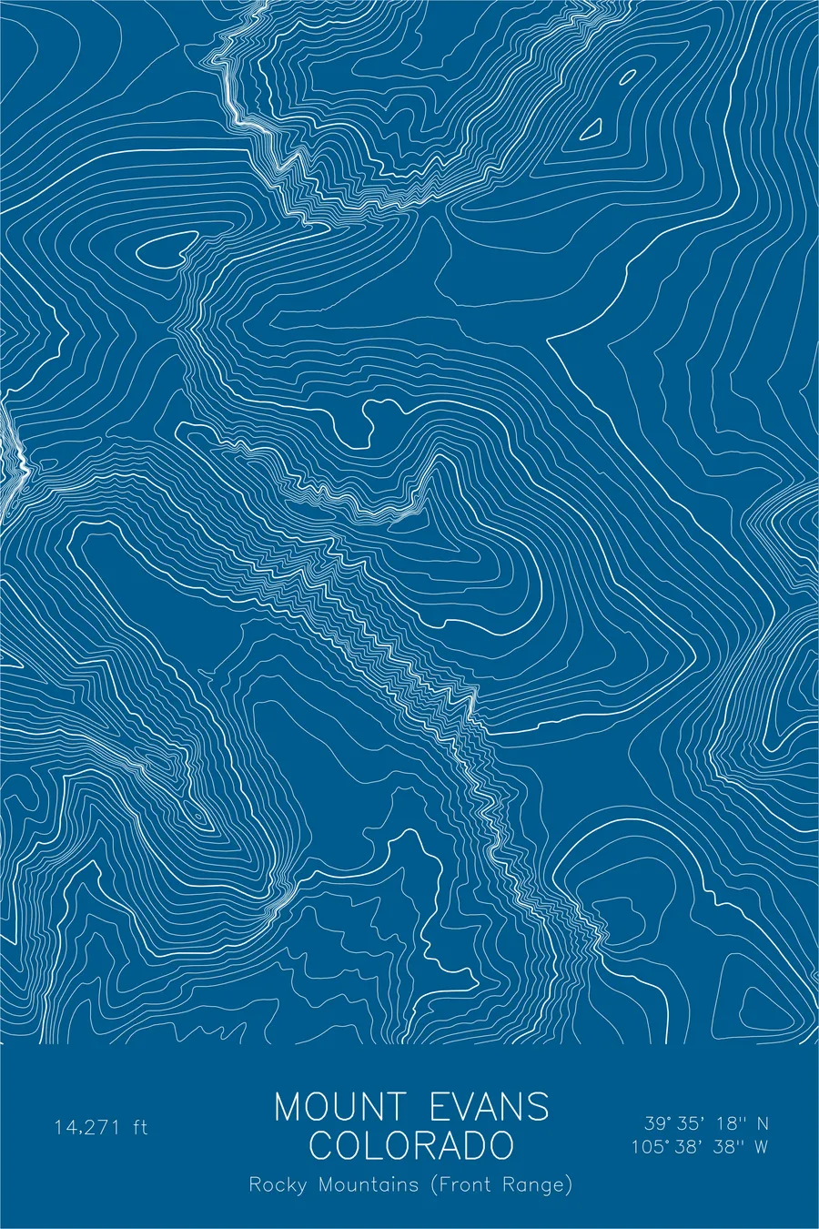
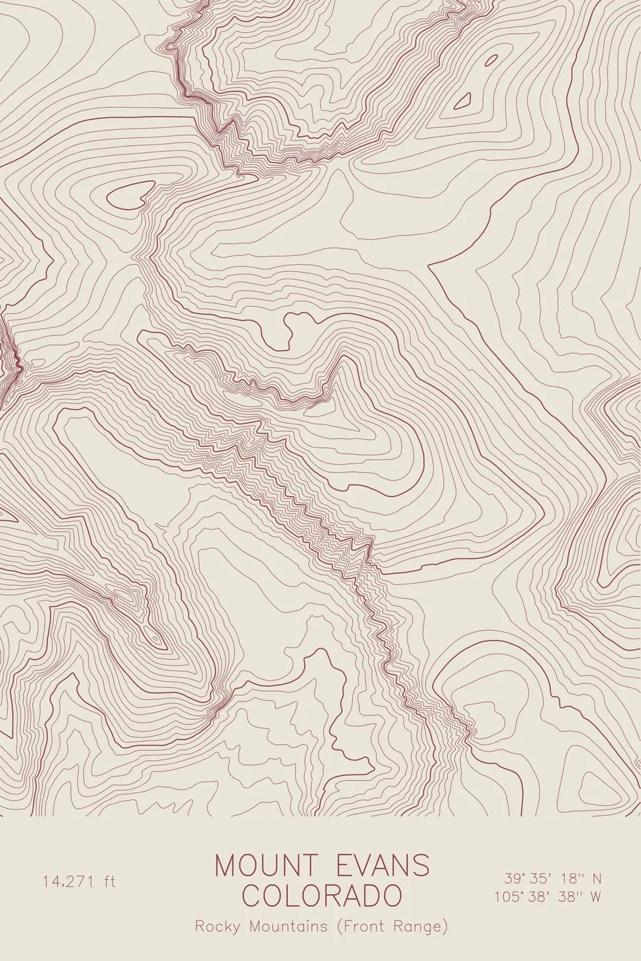
A pen-plotted topographic map of Mount Evans in the Front Range, Colorado, drawn from real elevation contour data.
Highest paved road in North America, accessible 14er near Denver. 14,271 feet above sea level.
$54
Ink & paper: Black
Size: 12×18"
+Personalize this map
+ Details
- 12 × 18 inches
- Drawn on 98 lb (160 gsm) archival cotton paper
- Precision technical pens and archival inks
- Signed and dated on the back
- Ships flat, protected, ready to frame
Each map begins with elevation data and is drawn by a pen plotter in our Vermont studio. Mechanical precision, plus the texture and small imperfections of real ink on paper.
Off the screen
In real rooms



















+ About this map
Mount Evans rises 14,271 feet in Colorado’s Front Range, the high point on the skyline west of Denver and one of the most accessible fourteeners in the state. A scenic byway, the highest paved road in North America, climbs to within a short walk of the summit. In 2023 the mountain was officially renamed Mount Blue Sky, a name put forward by the Arapaho and Cheyenne tribes.
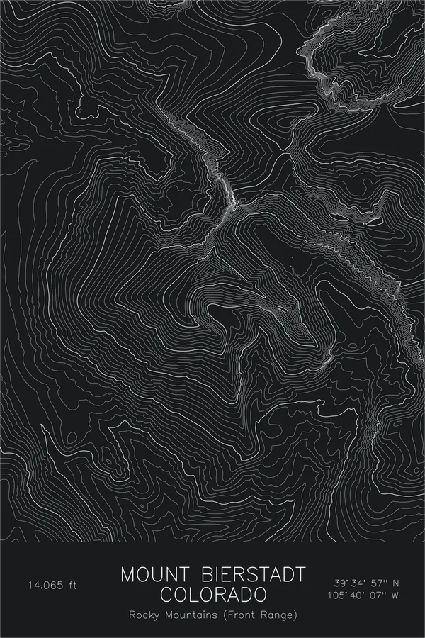
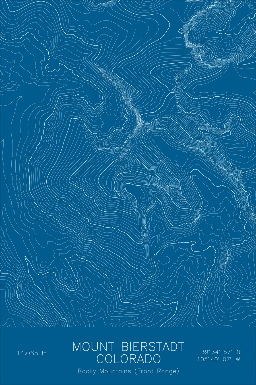
This map shows terrain that stays broad even at extreme altitude. The contour lines spread across wide alpine shoulders and gentle upper slopes, then tighten abruptly where glaciers bit into the massif: the cirque holding Summit Lake below the north face, and the deeper basin of the Chicago Lakes beyond it. To the west, the jagged line of the Sawtooth connects the mountain to Mount Bierstadt, a ridge whose crowded contours stand out against the open country around it.
+ Map details
- Mount Evans
- Colorado
- United States
- Rocky Mountains (Front Range)
- Rocky Mountains
- 14,271 ft / 4,350 m
- 39.5883N 105.6438W
- Mountain topographic map
- Original pen plot, archival ink on cotton paper
- 8 × 12 in · 12 × 18 in · 18 × 24 in
- Highest paved road in North America, accessible 14er near Denver
More maps